Cowthwaite Plain
Downs, Moorland in Yorkshire
England
Cowthwaite Plain
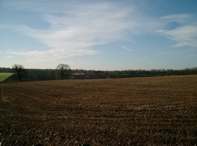
Cowthwaite Plain is a picturesque expanse of land located in the county of Yorkshire, England. Situated amidst the rolling hills and vast moorlands, it offers breathtaking panoramic views and a serene environment for visitors to enjoy. The plain is renowned for its natural beauty, attracting nature enthusiasts, hikers, and photographers alike.
Covering an area of approximately 1,500 acres, Cowthwaite Plain boasts a diverse landscape that includes lush grasslands, heather-covered moors, and scattered patches of woodland. The plain is home to a wide range of flora and fauna, making it an ideal habitat for many species of birds, mammals, and insects. Visitors can spot various bird species, including curlews, lapwings, and red grouse, while lucky ones may even catch a glimpse of a roe deer or a hare.
The plain is crisscrossed by a network of footpaths and trails, allowing visitors to explore the area at their own pace. One of the most popular routes is the Cowthwaite Circular Walk, a well-marked path that takes visitors through the heart of the plain and offers stunning views of the surrounding countryside. Along the way, walkers can admire the vibrant wildflowers that bloom in the spring and summer months, adding a burst of color to the landscape.
Cowthwaite Plain truly embodies the natural beauty of Yorkshire, with its idyllic scenery, abundant wildlife, and peaceful ambiance. Whether one seeks a leisurely stroll, a challenging hike, or simply a moment of tranquility amidst nature, this enchanting plain has something to offer for everyone.
If you have any feedback on the listing, please let us know in the comments section below.
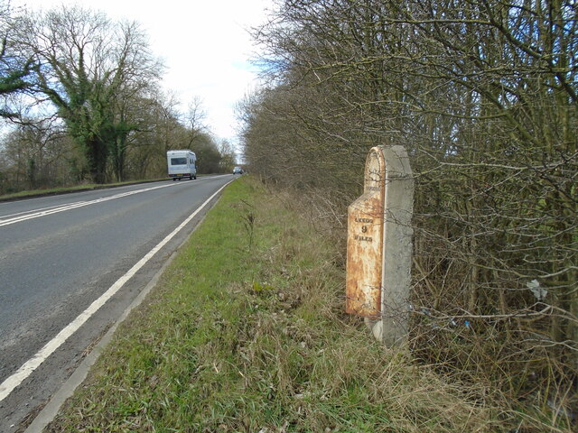
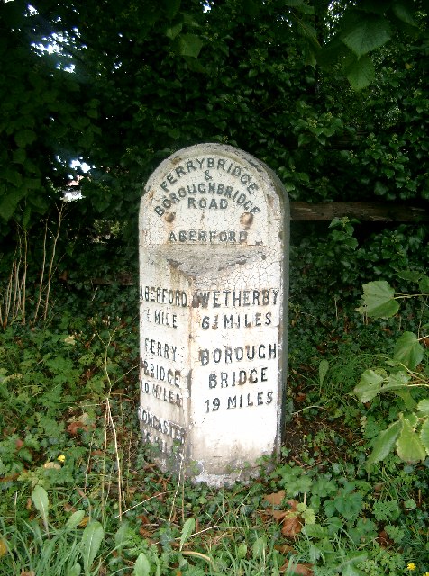
Cowthwaite Plain Images
Images are sourced within 2km of 53.851022/-1.3593604 or Grid Reference SE4239. Thanks to Geograph Open Source API. All images are credited.
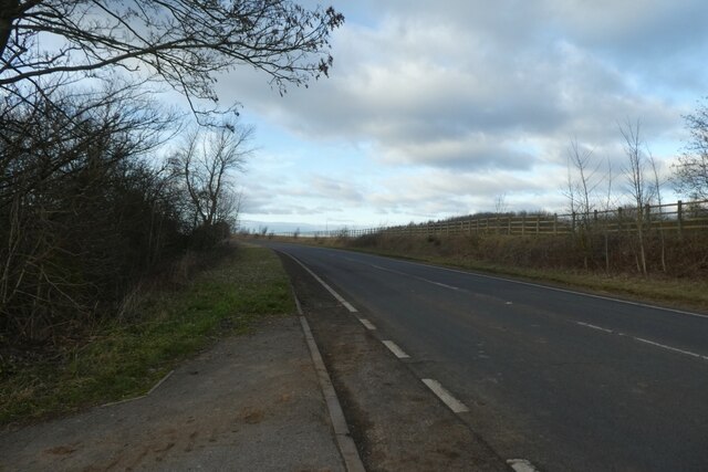
![A remnant of the old A1 This dead end road at the northern end of Aberford village marks a previous line of the A1, which passed through the village centre until 1963 when the by-pass was constructed. This in turn has been widened and upgraded to a six lane motorway [8 lanes in places past the village] which is the A1(M).](https://s3.geograph.org.uk/geophotos/07/05/64/7056467_d2cf0a01.jpg)
Cowthwaite Plain is located at Grid Ref: SE4239 (Lat: 53.851022, Lng: -1.3593604)
Division: West Riding
Unitary Authority: Leeds
Police Authority: West Yorkshire
What 3 Words
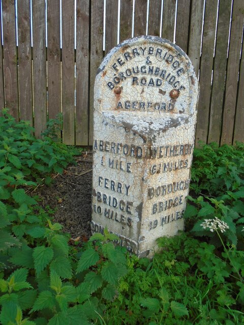
///menswear.graver.bedding. Near Aberford, West Yorkshire
Nearby Locations
Related Wikis

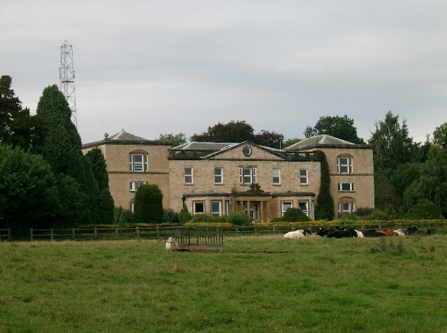
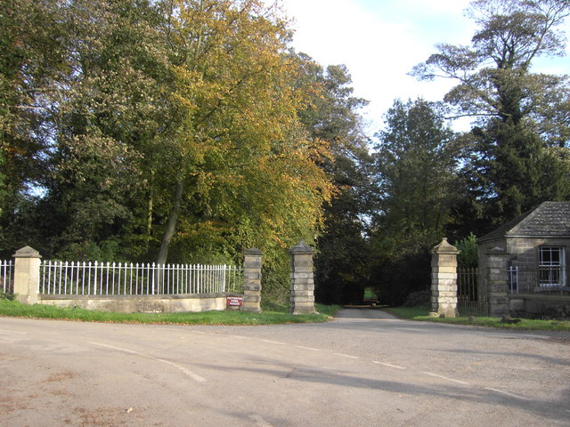
Becca Hall
Becca Hall is a country residence situated in Aberford, Leeds, West Yorkshire, Yorkshire, at OS grid reference Lat.53:50:35N Lon.1:22:08W. It is situated...

Aberford Dykes
The Aberford Dykes are a series of archaeological monuments located around the valley of the Cock Beck, where it runs just north of the village of Aberford...
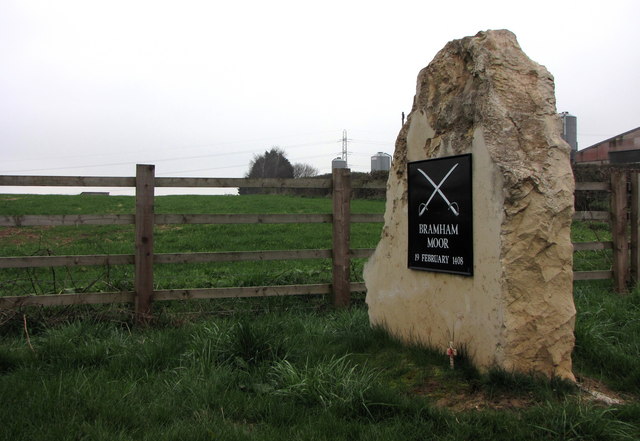
Battle of Bramham Moor
The Battle of Bramham Moor on 19 February 1408 was the final battle in the Percy Rebellion of 1402 – 1408, which pitted Henry Percy, 1st Earl of Northumberland...

Potterton, West Yorkshire
Potterton is a hamlet 1 mile (1.5 km) north of Barwick-in-Elmet in City of Leeds, West Yorkshire, England. It falls within the Harewood ward of the Leeds...

Aberford
Aberford is a village and civil parish on the eastern outskirts of the City of Leeds in West Yorkshire, England. It had a population of 1,059 at the 2001...

Bramham Park
Bramham Park is a Grade I listed 18th-century country house in Bramham, between Leeds and Wetherby, in West Yorkshire, England. The house, constructed...

Hazlewood Castle
Hazlewood Castle is a country residence, now a hotel, in North Yorkshire, England, by the A1 and A64 between Aberford and Tadcaster. It is one of the oldest...

Bowcliffe Hall
Bowcliffe Hall is located at Bramham near Wetherby, West Yorkshire, England. Built between 1805 and 1825, Bowcliffe Hall is a Grade II listed building...
Nearby Amenities
Located within 500m of 53.851022,-1.3593604Have you been to Cowthwaite Plain?
Leave your review of Cowthwaite Plain below (or comments, questions and feedback).