Embleton Moor

Downs, Moorland in Durham

England

Embleton Moor

Drive to Murton Hall Farm
Drive to Murton Hall Farm Credit: peter robinson

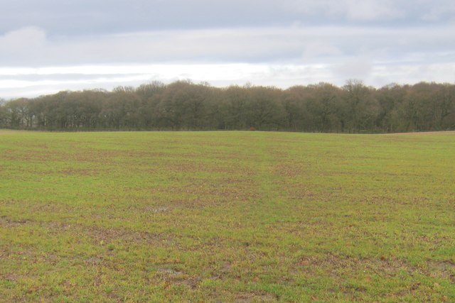
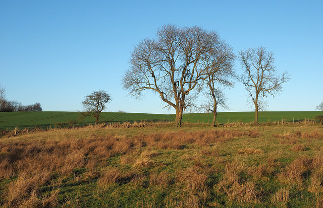
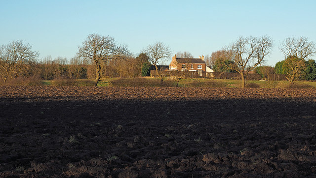
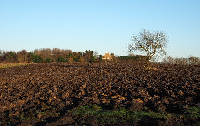
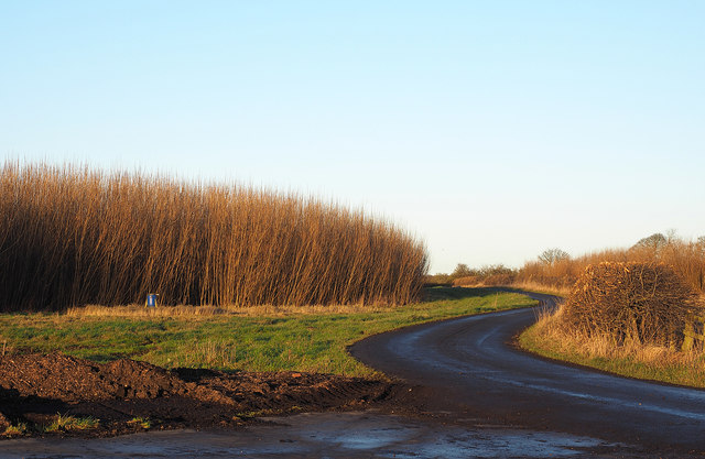
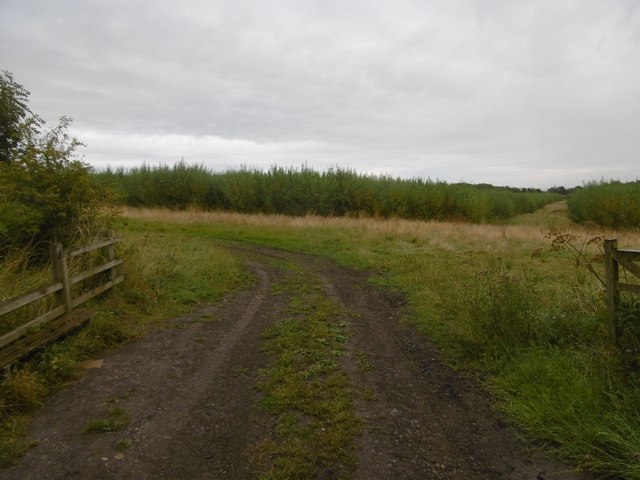
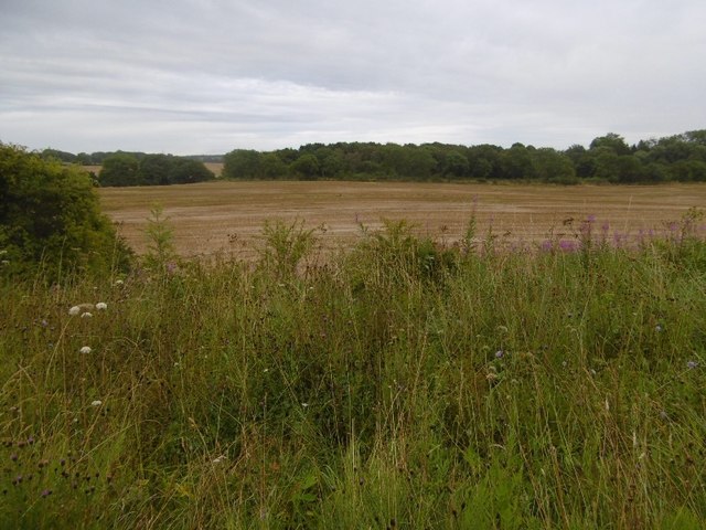
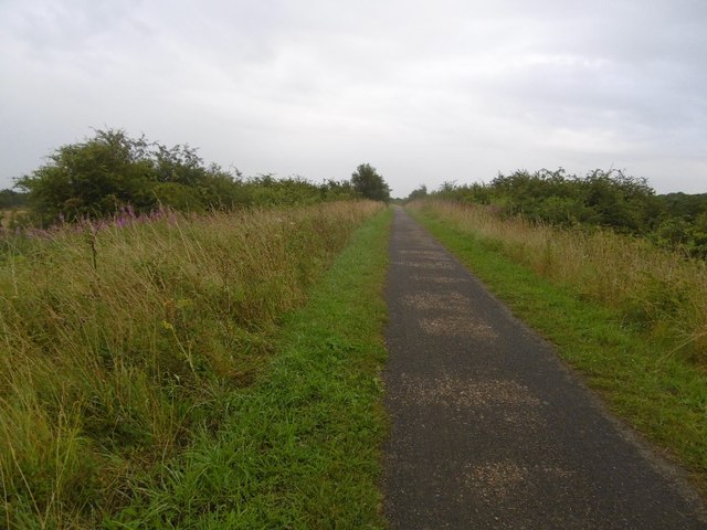
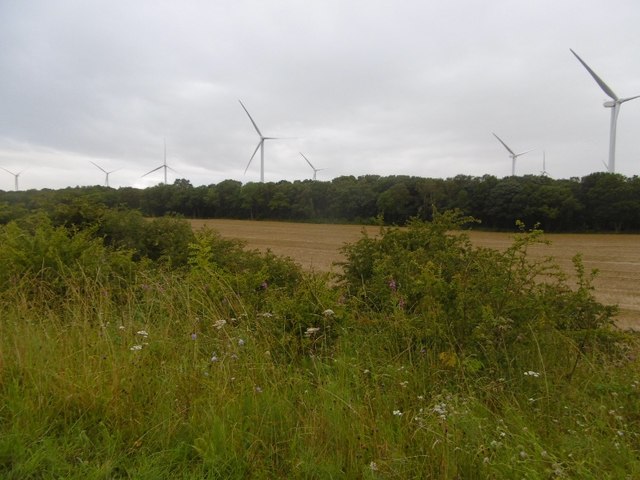
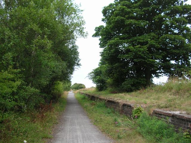
Embleton Moor is a picturesque area located in Durham, England. Situated in the northeast part of the county, this moorland covers a significant stretch of land and offers stunning views of the surrounding countryside. The moor is characterized by rolling hills, heather-covered landscapes, and scattered patches of woodland.

Covering an area of approximately 10 square kilometers, Embleton Moor is a popular destination for nature enthusiasts, hikers, and birdwatchers. The moorland is home to a diverse range of flora and fauna, including species such as curlew, lapwing, and red grouse. The heather that blankets the moorland provides a stunning display of vibrant purple hues during the summer months.

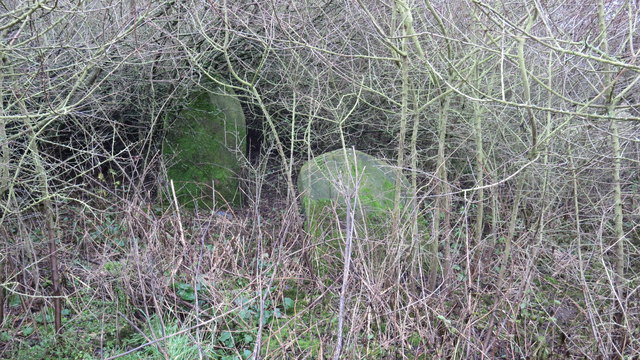
Embleton Moor is also rich in history and has archaeological significance. There are several prehistoric monuments scattered across the moor, including Bronze Age burial cairns and stone circles. These ancient sites offer a glimpse into the area's past and provide a fascinating insight into the lives of its early inhabitants.

The moorland is crisscrossed by footpaths and trails, allowing visitors to explore its beauty on foot or by bike. One of the most popular routes is the Embleton to Craster coastal path, which offers breathtaking views of the North Sea and the dramatic coastline.

Overall, Embleton Moor is a stunning natural landscape that showcases the beauty and diversity of the Durham countryside. Whether it's for leisurely walks, wildlife spotting, or historical exploration, this moorland offers something for everyone to enjoy.

If you have any feedback on the listing, please let us know in the comments section below.

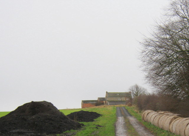
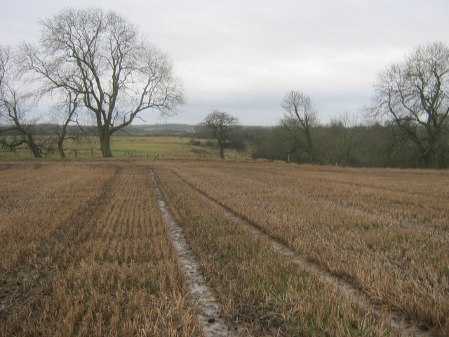
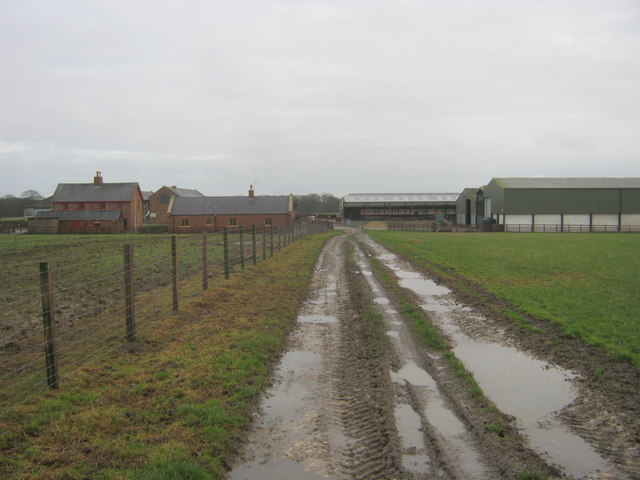
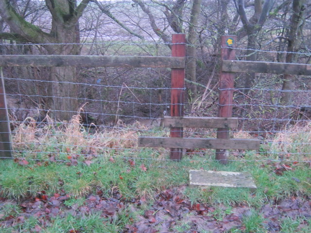
Embleton Moor Images

Images are sourced within 2km of 54.66893/-1.3469777 or Grid Reference NZ4230. Thanks to Geograph Open Source API. All images are credited.

Drive to Murton Hall Farm
Field on Embleton Moor with crop stubble
Footpath on farmer's track leading to Cole Hill Farm
Stile for footpath to Murton Hall Farm and beyond
Footpath to Scotland Wood from Cole Hill Farm
Farmland near High Wood
Trees on Embleton Moor The foreground land in the image may well have the appearance of moorland but the name Embleton Moor is surely historic as the terrain generally in this area is fully cultivated. The view is from close to (but not on) a bridleway about to descend into the shallow valley, Bedlam Gill.
Trees on Embleton Moor
The foreground land in the image may well have the appearance of moorland but the name Embleton Moor is surely historic as the terrain generally in this area is fully cultivated. The view is from close to (but not on) a bridleway about to descend into the shallow valley, Bedlam Gill.
Ploughed field south of Embleton Old Hall The field lies between Embleton Old Hall and Tinklers Wood.
Ploughed field south of Embleton Old Hall
The field lies between Embleton Old Hall and Tinklers Wood.
Ploughed field with lone tree The view along the furrows of the field is towards Embleton Old Hall. OS mapping at 1:25 000 suggests that there should be a field boundary between the camera position and the hall. It's possible that once there was a hedge dividing the field and that the lone tree is a surviving remnant of it.
Ploughed field with lone tree
The view along the furrows of the field is towards Embleton Old Hall. OS mapping at 1:25 000 suggests that there should be a field boundary between the camera position and the hall. It's possible that once there was a hedge dividing the field and that the lone tree is a surviving remnant of it.
Farm road with willows The road, also the route of a public footpath, is heading generally north from Embleton Old Hall. The tall, dense crop stands are willows, grown in part as cover for pheasants - a shoot was going on at the time the photograph was taken - and also for harvesting as biomass, for burning in appropriately equipped power stations.
Farm road with willows
The road, also the route of a public footpath, is heading generally north from Embleton Old Hall. The tall, dense crop stands are willows, grown in part as cover for pheasants - a shoot was going on at the time the photograph was taken - and also for harvesting as biomass, for burning in appropriately equipped power stations.
Willow crop The tall, dense crop is willow, grown in part as cover for pheasants - a shoot was going on nearby at the time the image was recorded - and also for harvesting as biomass, for burning in appropriately equipped power stations.
Willow crop
The tall, dense crop is willow, grown in part as cover for pheasants - a shoot was going on nearby at the time the image was recorded - and also for harvesting as biomass, for burning in appropriately equipped power stations.
Gravestones at abandoned church at Embleton I'm sure that the people putting flowers on these graves never imagined that they would end up in such a sorry neglected state.
Gravestones at abandoned church at Embleton
I'm sure that the people putting flowers on these graves never imagined that they would end up in such a sorry neglected state.
Castle Eden Walkway Crossing sparsly populated land north of Stockton.
Castle Eden Walkway
Crossing sparsly populated land north of Stockton.
Stockton and Castle Eden Branch trackbed Now a whindust surfaced cycle path.
Stockton and Castle Eden Branch trackbed
Now a whindust surfaced cycle path.
Biomass crop Willows grown for fuel near the Castle Eden Walkway.
Biomass crop
Willows grown for fuel near the Castle Eden Walkway.
Arable land, Embleton View over stubble from the Castle Eden Walkway.
Arable land, Embleton
View over stubble from the Castle Eden Walkway.
Castle Eden Walkway The trackbed of the Stockton and Castle Eden Branch on an embankment.
Castle Eden Walkway
The trackbed of the Stockton and Castle Eden Branch on an embankment.
Butterwick Moor Wind Farm View from the Castle Eden Walkway.
Butterwick Moor Wind Farm
View from the Castle Eden Walkway.
Show me another place!

Embleton Moor is located at Grid Ref: NZ4230 (Lat: 54.66893, Lng: -1.3469777)

Unitary Authority: County Durham

Police Authority: Durham

What 3 Words

///valve.jumpy.waltz. Near Elwick, Co. Durham

Related Wikis

Embleton, County Durham

Embleton is a hamlet and former civil parish, now in the parish of Sedgefield, in the County Durham district, in the ceremonial county of Durham, in England...

Wynyard railway station (England)

Wynyard railway station was a railway station on the Castle Eden branch of the North Eastern Railway (NER) from 1880 to 1931. It was located immediately...

Pike Whin Bog

Pike Whin Bog is a Site of Special Scientific Interest in the Easington district of east County Durham, England. It is situated just east of Hurworth Burn...

Hurworth Burn railway station

Hurworth Burn railway station was a railway station on the Castle Eden branch of the North Eastern Railway (NER) from 1880 to 1931. It was located between...

Nearby Amenities

Located within 500m of 54.66893,-1.3469777
Power: pole
Lat/Long: 54.6714378/-1.3530913
Power: pole
Lat/Long: 54.6706731/-1.3528727
Power: pole
Lat/Long: 54.6700977/-1.3525321
Power: pole
Lat/Long: 54.6695269/-1.3521921
Power: pole
Lat/Long: 54.6690693/-1.3512701
Power: pole
Lat/Long: 54.6661989/-1.342404
Power: pole
Lat/Long: 54.6665239/-1.3437143
Power: pole
Lat/Long: 54.6668419/-1.3449977
Power: pole
Lat/Long: 54.6671637/-1.3462986
Power: pole
Lat/Long: 54.6674879/-1.3475955
Power: pole
Lat/Long: 54.6678113/-1.3489178
Power: pole
Lat/Long: 54.6681061/-1.3500899
Power: pole
Lat/Long: 54.66868/-1.3504976
The data included in this document is from www.openstreetmap.org. The data is made available under ODbL.

Have you been to Embleton Moor?

Leave your review of Embleton Moor below (or comments, questions and feedback).