Roughclose Wood
Wood, Forest in Yorkshire
England
Roughclose Wood
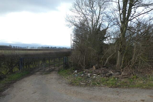
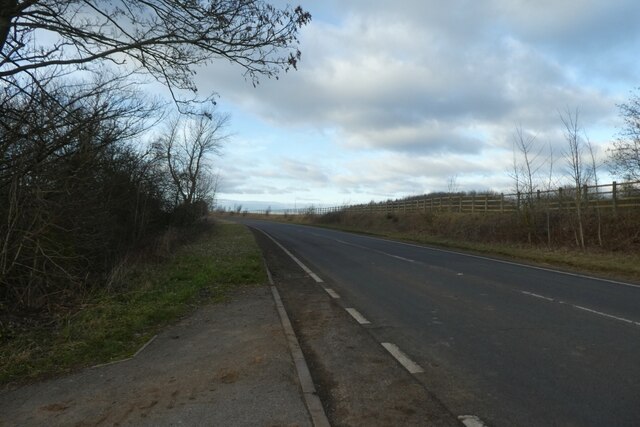
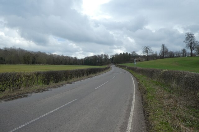
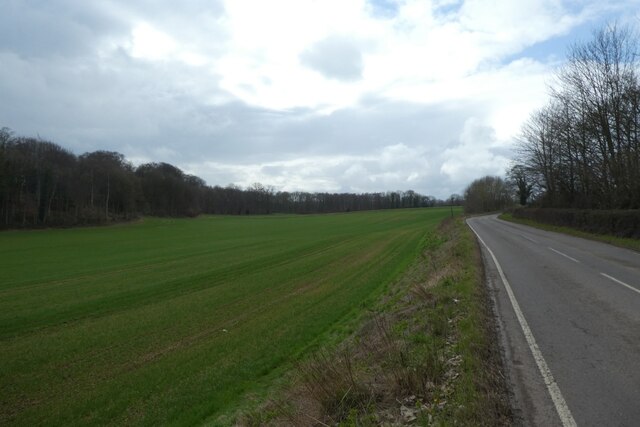
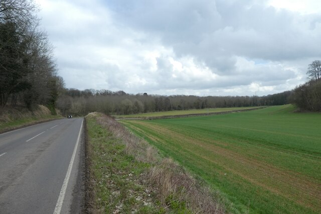
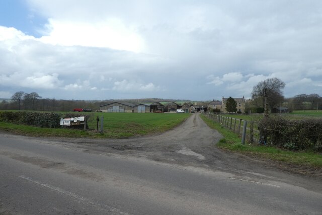
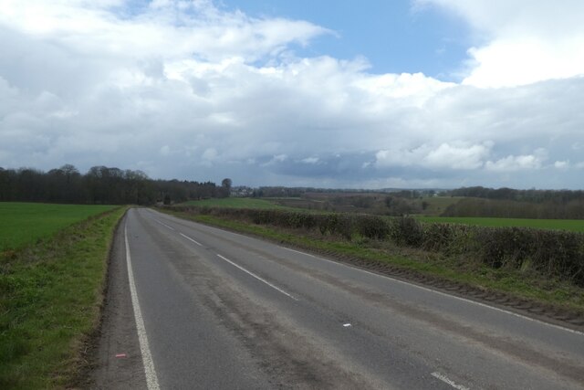
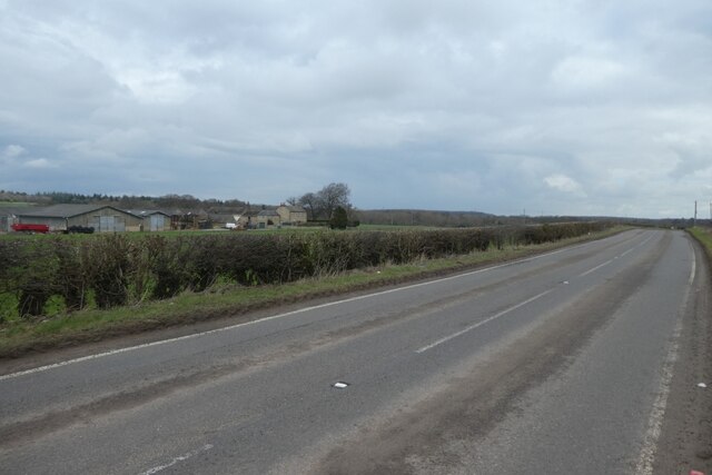
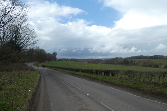
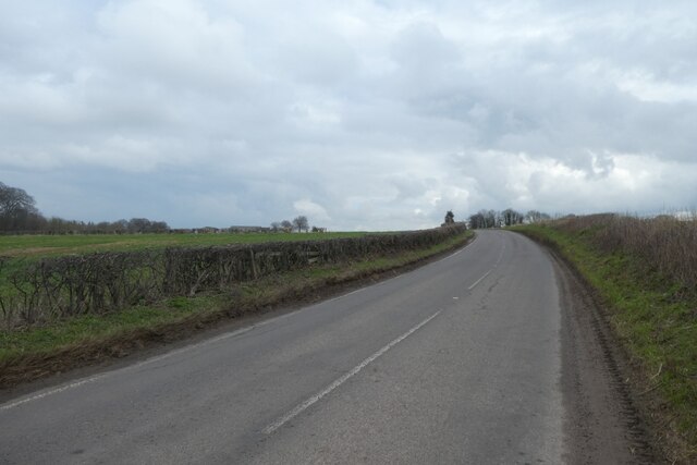
Roughclose Wood is a stunning forest located in Yorkshire, England. Covering an area of approximately 100 acres, this wood offers a peaceful and serene escape from the hustle and bustle of urban life. The wood is predominantly made up of oak, beech, and birch trees, creating a lush and diverse ecosystem that is home to a variety of wildlife.
Visitors to Roughclose Wood can enjoy walking along the well-maintained trails that wind through the forest, providing opportunities to spot birds, squirrels, and other woodland creatures. The wood is also a popular spot for picnics, with several designated areas for visitors to relax and enjoy the natural surroundings.
Throughout the year, Roughclose Wood transforms with the changing seasons, offering a different experience with each visit. In the spring, the forest is alive with the vibrant colors of blooming flowers, while in the autumn, the trees are ablaze with reds, oranges, and yellows.
Overall, Roughclose Wood is a beautiful and tranquil destination for nature lovers and outdoor enthusiasts looking to connect with the natural world.
If you have any feedback on the listing, please let us know in the comments section below.
Roughclose Wood Images
Images are sourced within 2km of 53.84898/-1.3622644 or Grid Reference SE4239. Thanks to Geograph Open Source API. All images are credited.
![A remnant of the old A1 This dead end road at the northern end of Aberford village marks a previous line of the A1, which passed through the village centre until 1963 when the by-pass was constructed. This in turn has been widened and upgraded to a six lane motorway [8 lanes in places past the village] which is the A1(M).](https://s3.geograph.org.uk/geophotos/07/05/64/7056467_d2cf0a01.jpg)

Roughclose Wood is located at Grid Ref: SE4239 (Lat: 53.84898, Lng: -1.3622644)
Division: West Riding
Unitary Authority: Leeds
Police Authority: West Yorkshire
What 3 Words
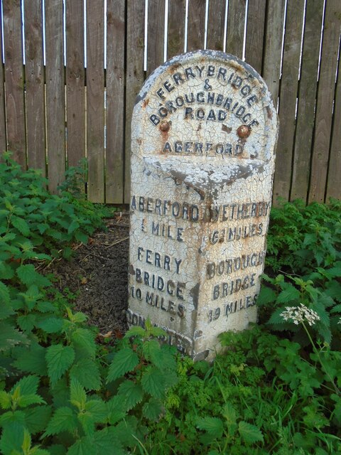
///completed.notched.effort. Near Aberford, West Yorkshire
Nearby Locations
Related Wikis

Becca Hall
Becca Hall is a country residence situated in Aberford, Leeds, West Yorkshire, Yorkshire, at OS grid reference Lat.53:50:35N Lon.1:22:08W. It is situated...

Aberford Dykes
The Aberford Dykes are a series of archaeological monuments located around the valley of the Cock Beck, where it runs just north of the village of Aberford...

Potterton, West Yorkshire
Potterton is a hamlet 1 mile (1.5 km) north of Barwick-in-Elmet in City of Leeds, West Yorkshire, England. It falls within the Harewood ward of the Leeds...
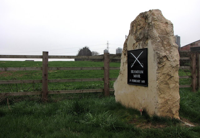
Battle of Bramham Moor
The Battle of Bramham Moor on 19 February 1408 was the final battle in the Percy Rebellion of 1402 – 1408, which pitted Henry Percy, 1st Earl of Northumberland...
Nearby Amenities
Located within 500m of 53.84898,-1.3622644Have you been to Roughclose Wood?
Leave your review of Roughclose Wood below (or comments, questions and feedback).