Becca Moor
Downs, Moorland in Yorkshire
England
Becca Moor
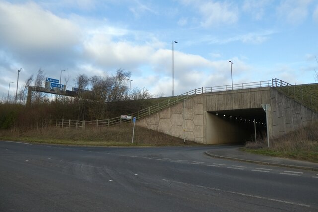
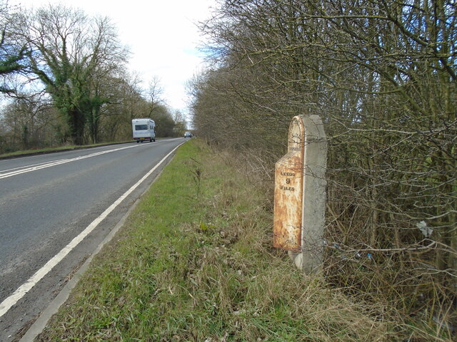
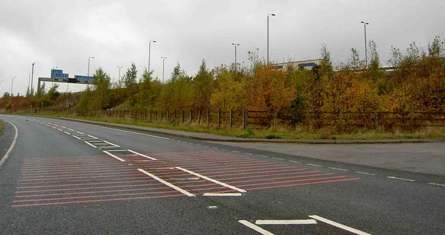
![A remnant of the old A1 This dead end road at the northern end of Aberford village marks a previous line of the A1, which passed through the village centre until 1963 when the by-pass was constructed. This in turn has been widened and upgraded to a six lane motorway [8 lanes in places past the village] which is the A1(M).](https://s3.geograph.org.uk/geophotos/07/05/64/7056467_d2cf0a01.jpg)
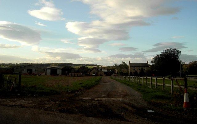
Becca Moor is a vast, picturesque expanse of moorland located in the heart of Yorkshire, England. Stretching across an area of approximately 10 square miles, it forms part of the larger Yorkshire Downs and Moorland region. Becca Moor is an area of outstanding natural beauty, renowned for its rugged, untamed landscapes and breathtaking views.
The moorland is characterized by its rolling hills, heather-covered slopes, and scattered patches of woodland. It is home to a diverse range of flora and fauna, including rare species such as the curlew and golden plover. Visitors to Becca Moor can expect to encounter an array of wildlife, including rabbits, foxes, and various bird species.
The moorland offers numerous walking trails and paths, allowing visitors to explore its stunning vistas and immerse themselves in nature. The deep purple hues of the heather in late summer create a striking, almost otherworldly landscape that attracts photographers and nature enthusiasts alike.
Becca Moor is steeped in history, with ancient burial mounds and stone circles scattered throughout the area. These remnants of the past provide a glimpse into the lives and traditions of early settlers. Visitors interested in archaeology and history can explore these sites and marvel at the rich cultural heritage of the region.
Overall, Becca Moor is a haven for nature lovers, hikers, and history enthusiasts. Its natural beauty, diverse wildlife, and historical significance make it a must-visit destination for those seeking an escape into the tranquility of the Yorkshire countryside.
If you have any feedback on the listing, please let us know in the comments section below.
Becca Moor Images
Images are sourced within 2km of 53.853811/-1.3614005 or Grid Reference SE4239. Thanks to Geograph Open Source API. All images are credited.
Becca Moor is located at Grid Ref: SE4239 (Lat: 53.853811, Lng: -1.3614005)
Division: West Riding
Unitary Authority: Leeds
Police Authority: West Yorkshire
What 3 Words
///willing.narrate.glossed. Near Bramham, West Yorkshire
Nearby Locations
Related Wikis

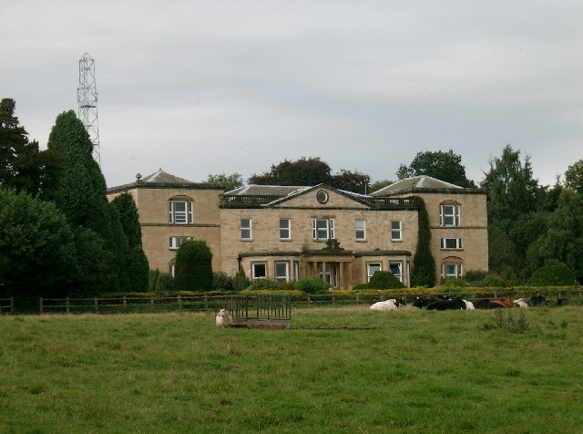
Becca Hall
Becca Hall is a country residence situated in Aberford, Leeds, West Yorkshire, Yorkshire, at OS grid reference Lat.53:50:35N Lon.1:22:08W. It is situated...
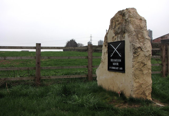
Battle of Bramham Moor
The Battle of Bramham Moor on 19 February 1408 was the final battle in the Percy Rebellion of 1402 – 1408, which pitted Henry Percy, 1st Earl of Northumberland...

Aberford Dykes
The Aberford Dykes are a series of archaeological monuments located around the valley of the Cock Beck, where it runs just north of the village of Aberford...

Potterton, West Yorkshire
Potterton is a hamlet 1 mile (1.5 km) north of Barwick-in-Elmet in City of Leeds, West Yorkshire, England. It falls within the Harewood ward of the Leeds...
Nearby Amenities
Located within 500m of 53.853811,-1.3614005Have you been to Becca Moor?
Leave your review of Becca Moor below (or comments, questions and feedback).