Aston Moor
Downs, Moorland in Derbyshire South Derbyshire
England
Aston Moor
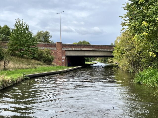
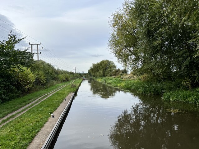
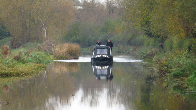
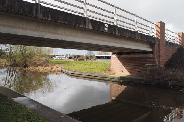
![Cow Pasture Bridge [no 7], from the east Carrying a bridleway over the Trent & Mersey canal.](https://s1.geograph.org.uk/geophotos/07/19/87/7198733_dee3077d.jpg)
Aston Moor is a picturesque area located in Derbyshire, England. Stretching across the beautiful landscape, it encompasses both downs and moorland, offering a diverse and stunning scenery for visitors to explore.
The moorland in Aston Moor is characterized by rolling hills covered in heather and grasses, creating a vibrant and colorful display during the summer months. Visitors can enjoy long walks or hikes through the moors, taking in the breathtaking views of the surrounding countryside. The moorland is also home to a variety of wildlife, including birds, rabbits, and occasionally, deer.
In addition to the moorland, Aston Moor also boasts expansive downs. The downs are characterized by wide, open spaces covered in short grasses, providing an ideal location for outdoor activities such as picnics, kite flying, and even horse riding. The downs offer unobstructed views of the surrounding area, allowing visitors to enjoy the beauty of the countryside.
Aston Moor is also home to several small villages, adding to its charm and appeal. These villages offer a glimpse into the local culture and history, with traditional cottages and historic landmarks dotted throughout the area. Visitors can explore the quaint streets, visit local shops and pubs, and immerse themselves in the tranquil atmosphere.
Overall, Aston Moor in Derbyshire is a stunning location that offers a blend of moorland and downs, providing visitors with a diverse and captivating landscape to explore. Whether it's taking a leisurely walk through the moors or enjoying a picnic on the downs, Aston Moor offers a tranquil and picturesque escape for nature lovers and outdoor enthusiasts.
If you have any feedback on the listing, please let us know in the comments section below.
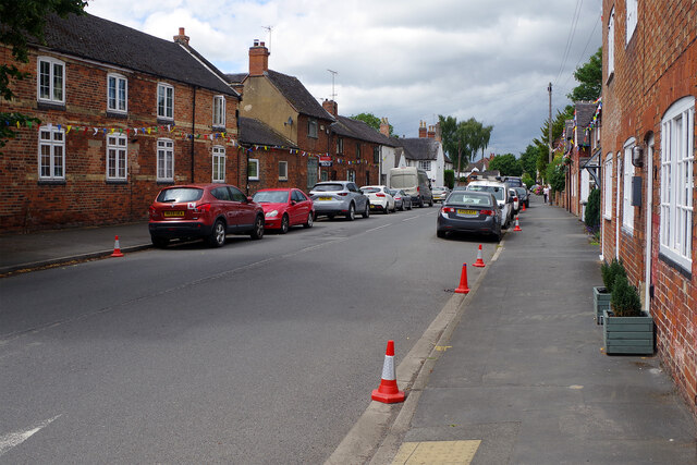
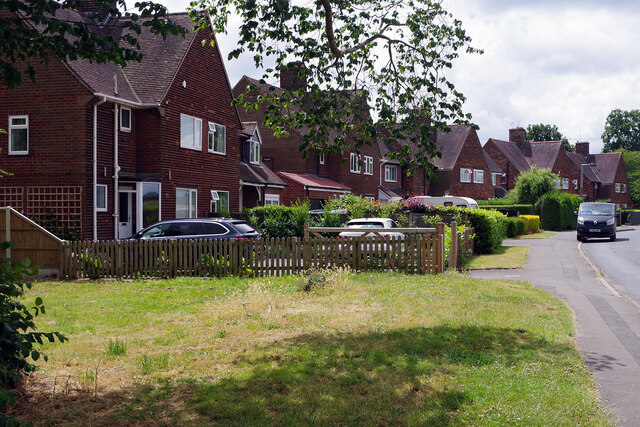
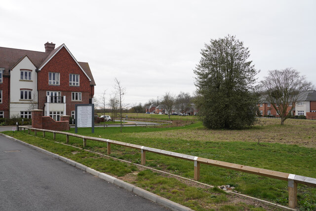
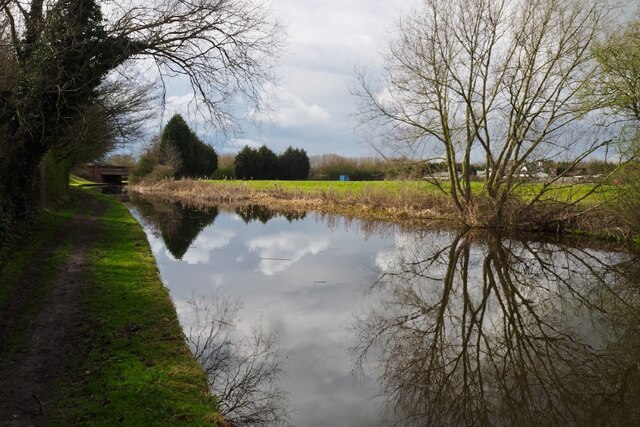
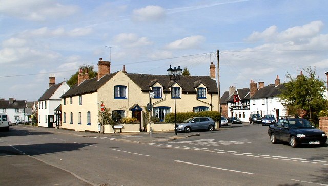
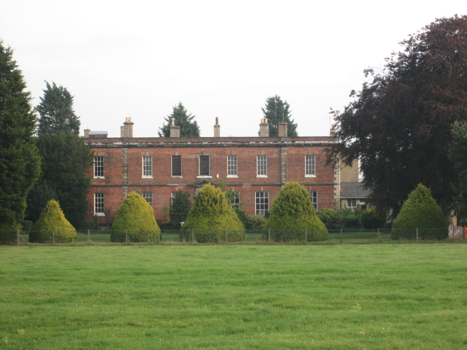
Aston Moor Images
Images are sourced within 2km of 52.867398/-1.3761821 or Grid Reference SK4230. Thanks to Geograph Open Source API. All images are credited.


Aston Moor is located at Grid Ref: SK4230 (Lat: 52.867398, Lng: -1.3761821)
Administrative County: Derbyshire
District: South Derbyshire
Police Authority: Derbyshire
What 3 Words
///history.fortified.seabirds. Near Aston-on-Trent, Derbyshire
Nearby Locations
Related Wikis


Nearby Amenities
Located within 500m of 52.867398,-1.3761821Have you been to Aston Moor?
Leave your review of Aston Moor below (or comments, questions and feedback).