Baldersby Park

Downs, Moorland in Yorkshire Harrogate

England

Baldersby Park

Topcliffe under siege Royalists from the Civil War demonstrate a cannon on the playing field at Topcliffe.  No local residents were injured.
Topcliffe under siege Credit: Gordon Hatton

Baldersby Park is a picturesque estate located in the heart of Yorkshire, England. Spread across the stunning landscape of the Yorkshire Downs and Moorland, this park covers a vast area of approximately 400 acres.

The park is renowned for its natural beauty and diverse ecosystem. It boasts rolling hills, expansive meadows, and serene woodlands, making it a haven for nature enthusiasts and wildlife lovers. The park is home to a wide range of flora and fauna, including rare species of plants and animals that thrive in this unique habitat.

Visitors to Baldersby Park can enjoy various recreational activities, such as walking, cycling, and picnicking. The park features well-maintained trails that lead through its enchanting woodlands, offering breathtaking views of the surrounding countryside. It is also a popular spot for birdwatching, as numerous species of birds can be spotted here throughout the year.

In addition to its natural beauty, Baldersby Park is steeped in history. The estate dates back several centuries and has seen various owners over time. The park's grand manor house, which dates back to the 18th century, adds to the allure of the estate and provides a glimpse into its rich past.

Baldersby Park is also known for hosting a range of events and festivals throughout the year. From music concerts to traditional fairs, the park offers something for everyone. Its expansive grounds provide ample space for large-scale events, attracting visitors from near and far.

Overall, Baldersby Park is a captivating destination that combines natural beauty, history, and recreational activities, making it a must-visit location for those seeking a retreat in the heart of Yorkshire's stunning countryside.

If you have any feedback on the listing, please let us know in the comments section below.

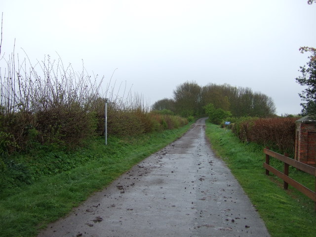
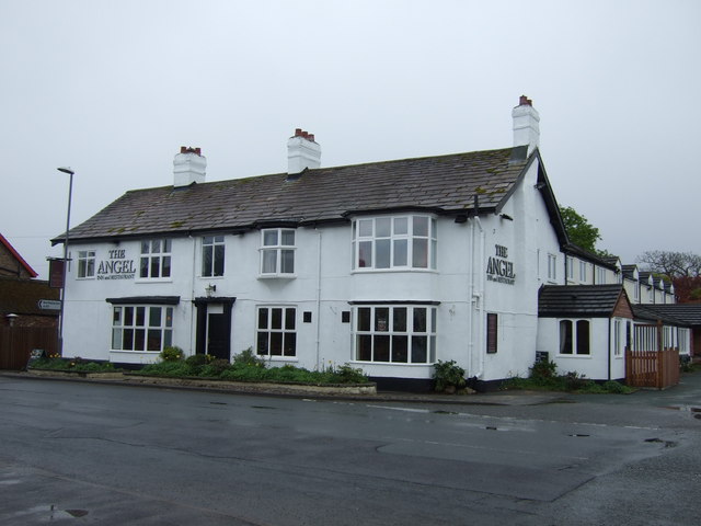
Baldersby Park Images

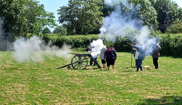
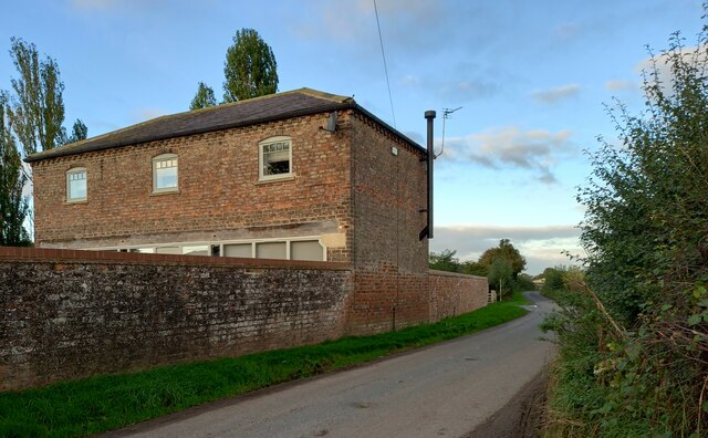
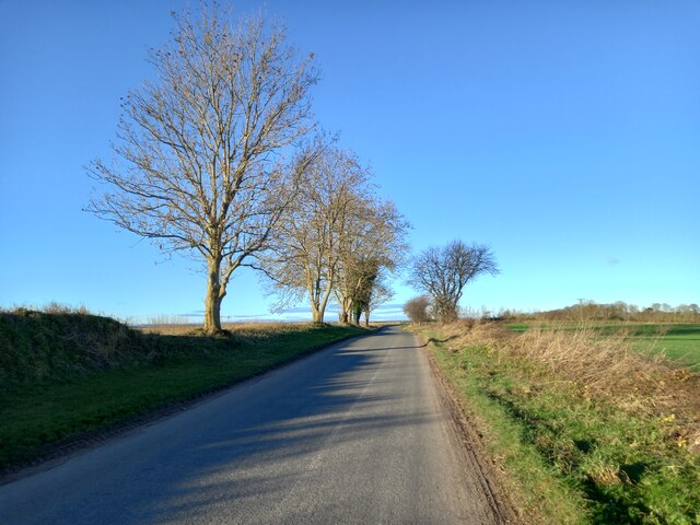
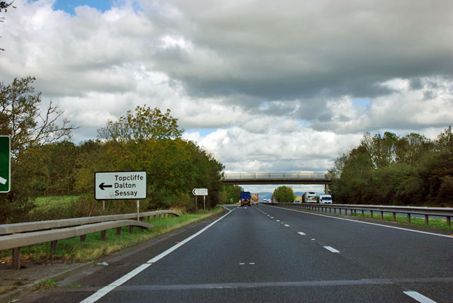
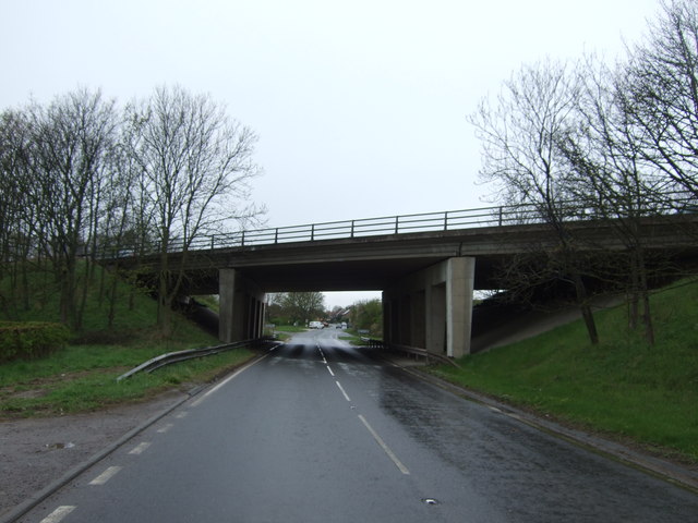
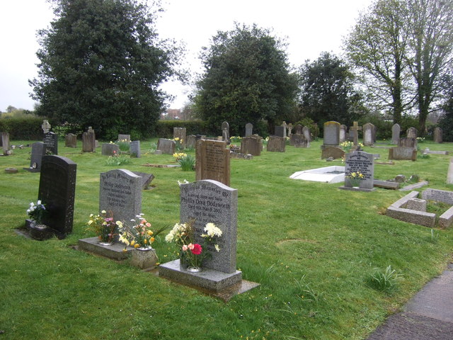
Images are sourced within 2km of 54.177604/-1.4087295 or Grid Reference SE3875. Thanks to Geograph Open Source API. All images are credited.

Topcliffe under siege Royalists from the Civil War demonstrate a cannon on the playing field at Topcliffe.  No local residents were injured.
Topcliffe under siege
Royalists from the Civil War demonstrate a cannon on the playing field at Topcliffe. No local residents were injured.
Topcliffe, Salmon Hall The benchmark is cut into the north face of Salmon Hall.
Topcliffe, Salmon Hall
The benchmark is cut into the north face of Salmon Hall.
Topcliffe, Salmon Hall There is a benchmark cut into the north facing wall of Salmon Hall.
Topcliffe, Salmon Hall
There is a benchmark cut into the north facing wall of Salmon Hall.
Rainton, Bay Horse Inn The benchmark is cut into the gable end of the village pub <a title="https://www.geograph.org.uk/photo/7116958" href="https://www.geograph.org.uk/photo/7116958">Link</a>.
Rainton, Bay Horse Inn
The benchmark is cut into the gable end of the village pub Link.
Rainton, Bay Horse Inn There is a benchmark <a title="https://www.geograph.org.uk/photo/7116955" href="https://www.geograph.org.uk/photo/7116955">Link</a> cut into the gable end of the village pub. It is below the Car Park sign attached to the wall.
Rainton, Bay Horse Inn
There is a benchmark Link cut into the gable end of the village pub. It is below the Car Park sign attached to the wall.
Rainton, private house The benchmark is cut into a left hand cornerstone of a private house which has been an agricultural barn.
Rainton, private house
The benchmark is cut into a left hand cornerstone of a private house which has been an agricultural barn.
Rainton, private house There is a benchmark cut into a left hand cornerstone of the private house which has been converted from an agricultural barn. The benchmark is to the left of the drainpipe.
Rainton, private house
There is a benchmark cut into a left hand cornerstone of the private house which has been converted from an agricultural barn. The benchmark is to the left of the drainpipe.
A167 about to join the A168 South of Asenby
A167 about to join the A168
South of Asenby
Rainton, Back Lane
Rainton, Back Lane
Wheat field, Asenby Ripening wheat in a field at Asenby. The tower of St Columba's Church in Topcliffe in the background.
Wheat field, Asenby
Ripening wheat in a field at Asenby. The tower of St Columba's Church in Topcliffe in the background.
Nᴼ 1 Long Street, Topcliffe Though not apparently using the appellation of "<a href="https://www.geograph.org.uk/photo/643756">SE3975 : Old Toll Cottage, Topcliffe</a>" today,
the building was where the Toll Gate served the Boroughbridge & Durham Turnpike Trust in 1853.
Confusingly there is <a href="https://www.geograph.org.uk/photo/5827100">SE4075 : The Toll Booth</a> which was used for courts leet and market tolls.
The base and steps of the Grade II listed Central (market) cross still stand
near the post office <a href="https://www.geograph.org.uk/photo/6068994">SE4075 : Old Central Cross by the A167, Long Street, Topcliffe</a>.

Milestone Society National ID: YN.TOP02
Nᴼ 1 Long Street, Topcliffe
Though not apparently using the appellation of "SE3975 : Old Toll Cottage, Topcliffe" today, the building was where the Toll Gate served the Boroughbridge & Durham Turnpike Trust in 1853. Confusingly there is SE4075 : The Toll Booth which was used for courts leet and market tolls. The base and steps of the Grade II listed Central (market) cross still stand near the post office SE4075 : Old Central Cross by the A167, Long Street, Topcliffe. Milestone Society National ID: YN.TOP02
Wide Howe Lane, Asenby Quiet side road on the fringe of Asenby village.
Wide Howe Lane, Asenby
Quiet side road on the fringe of Asenby village.
A168 near Topcliffe Studying the map, the junction ahead is not really necessary, but it does enable travellers in the Dalton direction to avoid passing through Topcliffe. A bridleway crosses the bridge.
A168 near Topcliffe
Studying the map, the junction ahead is not really necessary, but it does enable travellers in the Dalton direction to avoid passing through Topcliffe. A bridleway crosses the bridge.
Bridge over the A167
Topcliffe Cemetery
Topcliffe Cemetery
Winn Lane
Winn Lane
The Angel, Topcliffe
Farmland, Topcliffe Parks Farm
Show me another place!

Baldersby Park is located at Grid Ref: SE3875 (Lat: 54.177604, Lng: -1.4087295)

Division: North Riding

Administrative County: North Yorkshire

District: Harrogate

Police Authority: North Yorkshire

What 3 Words

///cassettes.lottery.snowmen. Near Thirsk, North Yorkshire

Related Wikis

Queen Mary's School

Queen Mary's School is a private day and boarding school for girls in Baldersby Park near Topcliffe, between Ripon and Thirsk in North Yorkshire, England...

Asenby

Asenby is a village and civil parish in the Harrogate district of North Yorkshire, England, with a population of 285 (2001 census), increasing to 311 at...

Topcliffe, North Yorkshire

Topcliffe is a village and civil parish in the Hambleton district of North Yorkshire, England. The village is situated on the River Swale, on the A167...

Rainton

Rainton is a village in the Harrogate borough of North Yorkshire, England. It is situated about 6 miles (9.7 km) north of Boroughbridge, 5 miles (8 km...

Nearby Amenities

Located within 500m of 54.177604,-1.4087295
Note: FIXME - way continues; survey required
Lat/Long: 54.1765292/-1.4159011
The data included in this document is from www.openstreetmap.org. The data is made available under ODbL.

Have you been to Baldersby Park?

Leave your review of Baldersby Park below (or comments, questions and feedback).