The Belt

Wood, Forest in Yorkshire Harrogate

England

The Belt

Topcliffe, 18 Long Street This property is on the north side of Long Street in Topcliffe village. According to early OS maps there should be a benchmark on this front facing wall, to the right. There was nothing to see and conclude that the mark is likely destroyed.
Topcliffe, 18 Long Street Credit: Mel Towler

The Belt, Yorkshire, also known as Wood or Forest, is a picturesque area located in the county of Yorkshire, England. Situated amidst the rolling hills and verdant landscapes, The Belt offers a serene and tranquil escape from the hustle and bustle of city life.

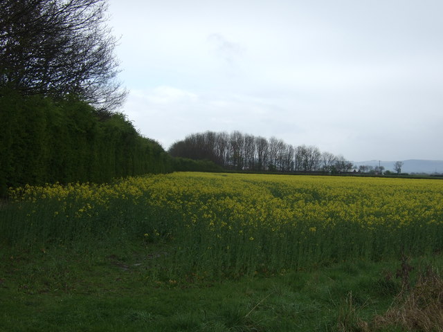
Covering a vast expanse of land, The Belt is characterized by its dense and lush woodlands, which are home to a diverse range of flora and fauna. Towering oak, beech, and ash trees dominate the landscape, creating a breathtaking canopy that provides shade and shelter for a variety of wildlife.

The area is a haven for nature enthusiasts and outdoor adventurers, offering numerous walking trails and hiking paths that wind through the enchanting woodlands. Visitors can explore the forested areas and discover hidden gems such as sparkling streams, cascading waterfalls, and secluded picnic spots.

The Belt is also renowned for its rich historical and cultural heritage. It is dotted with ancient ruins, including the remnants of medieval castles and monasteries, which serve as a testament to the area's intriguing past. Archaeological excavations have unearthed artifacts dating back centuries, shedding light on the lives of the people who once inhabited this land.

In addition to its natural beauty and historical significance, The Belt is a popular destination for birdwatching enthusiasts. The area is teeming with a wide variety of avian species, including woodpeckers, owls, and rare migratory birds, making it a paradise for bird lovers.

Whether you seek solace in nature or wish to immerse yourself in the region's rich history, The Belt, Yorkshire, offers an idyllic retreat that is sure to captivate and inspire all who visit.

If you have any feedback on the listing, please let us know in the comments section below.
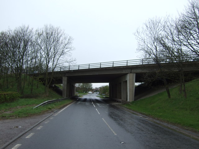
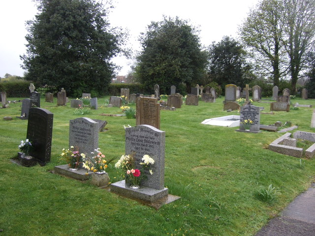
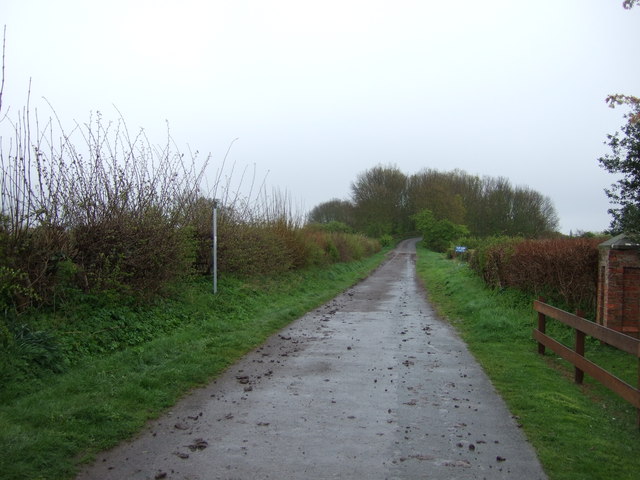
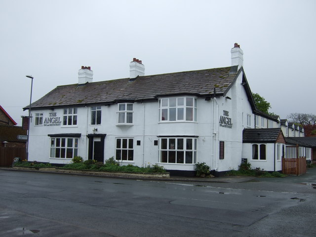
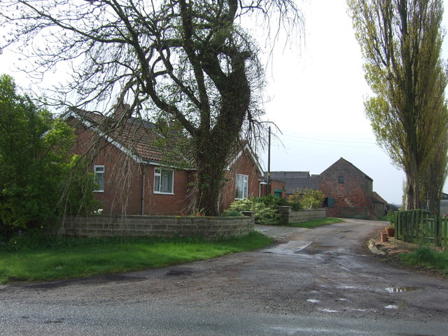
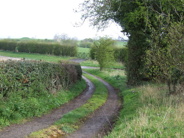
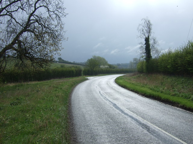
The Belt Images

Images are sourced within 2km of 54.176283/-1.4052247 or Grid Reference SE3875. Thanks to Geograph Open Source API. All images are credited.

Topcliffe, 18 Long Street This property is on the north side of Long Street in Topcliffe village. According to early OS maps there should be a benchmark on this front facing wall, to the right. There was nothing to see and conclude that the mark is likely destroyed.
Topcliffe, 18 Long Street
This property is on the north side of Long Street in Topcliffe village. According to early OS maps there should be a benchmark on this front facing wall, to the right. There was nothing to see and conclude that the mark is likely destroyed.
Topcliffe under siege Royalists from the Civil War demonstrate a cannon on the playing field at Topcliffe.  No local residents were injured.
Topcliffe under siege
Royalists from the Civil War demonstrate a cannon on the playing field at Topcliffe. No local residents were injured.
A168 near Topcliffe Studying the map, the junction ahead is not really necessary, but it does enable travellers in the Dalton direction to avoid passing through Topcliffe. A bridleway crosses the bridge.
A168 near Topcliffe
Studying the map, the junction ahead is not really necessary, but it does enable travellers in the Dalton direction to avoid passing through Topcliffe. A bridleway crosses the bridge.
Farmland beside the A168
Bridge over the A167
Topcliffe Cemetery
Topcliffe Cemetery
Winn Lane
Winn Lane
The Angel, Topcliffe
Poplar Hill Farm
Poplar Hill Farm
Track off Whaites Lane
Whaites Lane towards Cundall
Farmland, Topcliffe Parks Farm
Track to Topcliffe Parks Farm
The Angel Inn
The Angel Inn
The Angel An examination of photographs taken of the Angel in recent years will reveal some changes, the most notable being in 2013/4 when the inn was bought and thoroughly refurbished following several years of slow decline.  The upgrade has resulted in high quality accommodation and upgraded facilities both inside and out, plus a notable increase in trade.
The Angel
An examination of photographs taken of the Angel in recent years will reveal some changes, the most notable being in 2013/4 when the inn was bought and thoroughly refurbished following several years of slow decline. The upgrade has resulted in high quality accommodation and upgraded facilities both inside and out, plus a notable increase in trade.
Topcliffe, Catton Lane The old mill buildings are on the south side of Catton Lane, and now converted to residential flats. On the front facia, a north-east facing wall is a clear benchmark at ground level. It is cut into the top stone of a what seems to be an archway, and possibly a cellar.
Topcliffe, Catton Lane
The old mill buildings are on the south side of Catton Lane, and now converted to residential flats. On the front facia, a north-east facing wall is a clear benchmark at ground level. It is cut into the top stone of a what seems to be an archway, and possibly a cellar.
Topcliffe, Catton Lane A wider angle showing part of the front facia of the old mill buildings that are on the south side of Catton Lane, and alongside the river. They are now converted to residential flats. On the front facia, this north-east facing wall, there is a clear benchmark at ground level. It is cut into the top stone of a what seems to be an archway, and possibly was once a cellar.
Topcliffe, Catton Lane
A wider angle showing part of the front facia of the old mill buildings that are on the south side of Catton Lane, and alongside the river. They are now converted to residential flats. On the front facia, this north-east facing wall, there is a clear benchmark at ground level. It is cut into the top stone of a what seems to be an archway, and possibly was once a cellar.
Topcliffe, Methodist church The Methodist church is on the east side of Church Street. The parish church is directly opposite the Methodist church. On the far left of the west facing wall is a damaged benchmark. On the 4th row of bricks at the extreme left of the building, is a cut mark, which is very clear together with the top part of the arrowhead. The lower bricks have been removed and so part of the benchmark is missing.
Topcliffe, Methodist church
The Methodist church is on the east side of Church Street. The parish church is directly opposite the Methodist church. On the far left of the west facing wall is a damaged benchmark. On the 4th row of bricks at the extreme left of the building, is a cut mark, which is very clear together with the top part of the arrowhead. The lower bricks have been removed and so part of the benchmark is missing.
Show me another place!

The Belt is located at Grid Ref: SE3875 (Lat: 54.176283, Lng: -1.4052247)

Division: North Riding

Administrative County: North Yorkshire

District: Harrogate

Police Authority: North Yorkshire

What 3 Words

///tailwind.rosier.idealist. Near Thirsk, North Yorkshire

Related Wikis

Queen Mary's School

Queen Mary's School is a private day and boarding school for girls in Baldersby Park near Topcliffe, between Ripon and Thirsk in North Yorkshire, England...

Asenby

Asenby is a village and civil parish in the Harrogate district of North Yorkshire, England, with a population of 285 (2001 census), increasing to 311 at...

Topcliffe, North Yorkshire

Topcliffe is a village and civil parish in the Hambleton district of North Yorkshire, England. The village is situated on the River Swale, on the A167...

Rainton

Rainton is a village in the Harrogate borough of North Yorkshire, England. It is situated about 6 miles (9.7 km) north of Boroughbridge, 5 miles (8 km...

Topcliffe Castle

Topcliffe Castle (also known as Maiden's Bower) is an abandoned castle located near the village of Topcliffe, North Yorkshire, England.The castle was built...

Baldersby St James

Baldersby St James is a village in the Harrogate district of North Yorkshire, England. Several notable buildings in the village were commissioned by Viscount...

RAF Dalton

Royal Air Force Dalton or more simply RAF Dalton is a former Royal Air Force satellite station located near to Dalton, North Yorkshire, England. The airfield...

Catton, North Yorkshire

Catton is a village and civil parish in the Hambleton District of North Yorkshire, England. It is situated between Thirsk and Ripon, on the River Swale...

Have you been to The Belt?

Leave your review of The Belt below (or comments, questions and feedback).