Allum Green

Downs, Moorland in Hampshire New Forest

England

Allum Green

The Swan Pub on the A35 out of Lyndhurst
The Swan Credit: John Myers

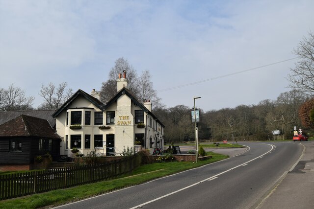
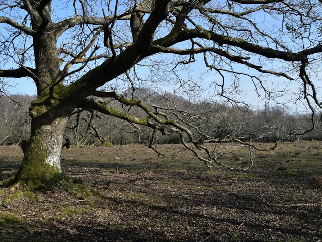
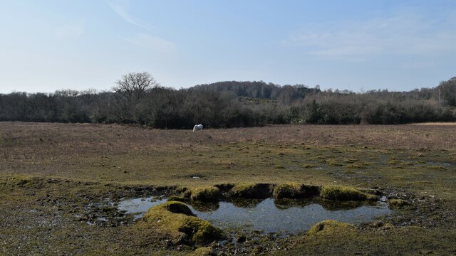
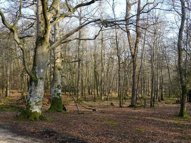
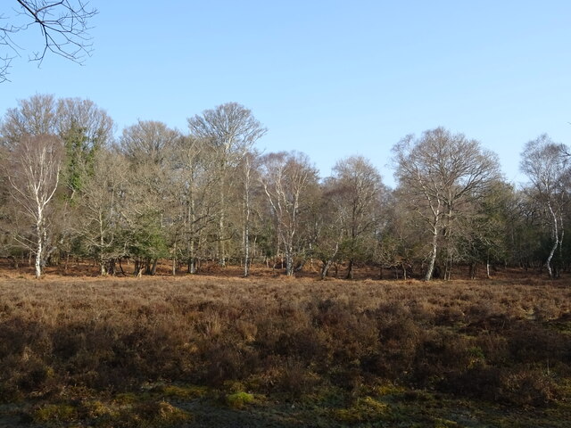
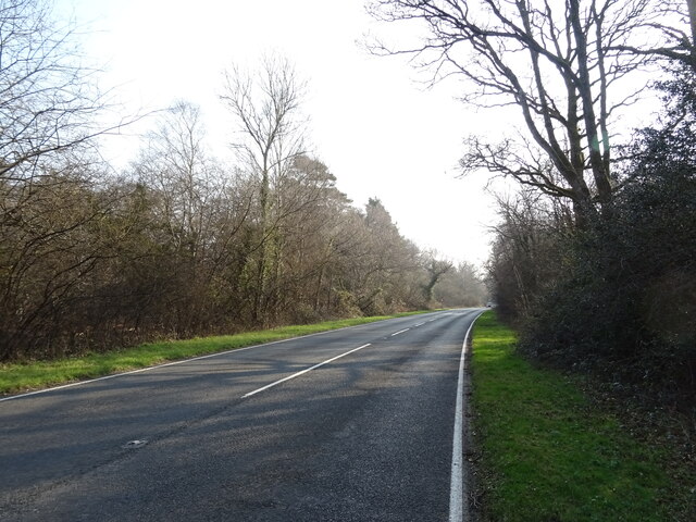
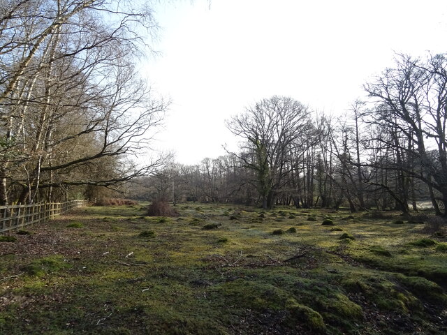
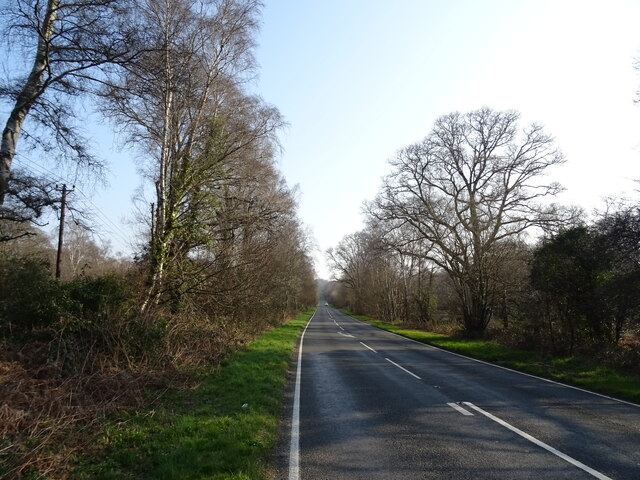
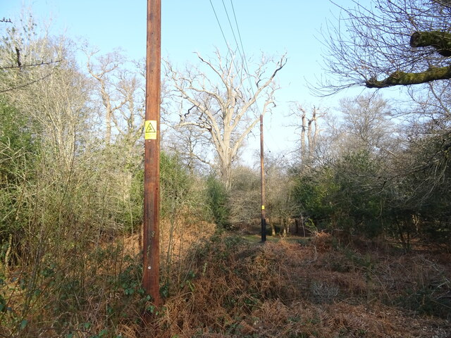
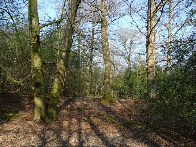
Allum Green is a picturesque area located in Hampshire, England. Situated amidst the scenic beauty of the Downs and Moorland, it offers breathtaking views and a tranquil atmosphere. With its rolling hills, vibrant greenery, and diverse wildlife, Allum Green is a haven for nature enthusiasts and outdoor lovers.

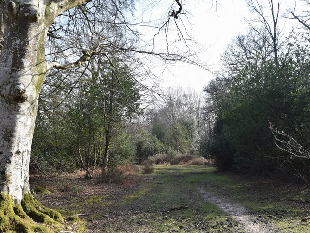
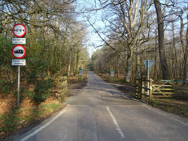
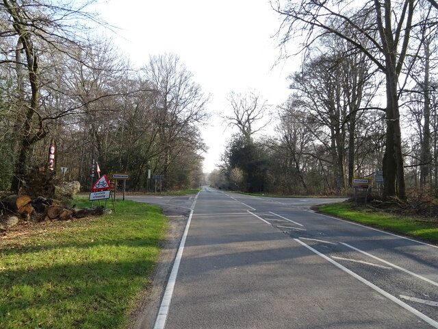
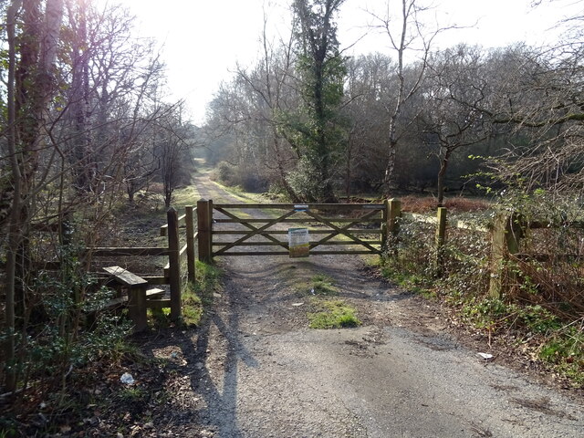
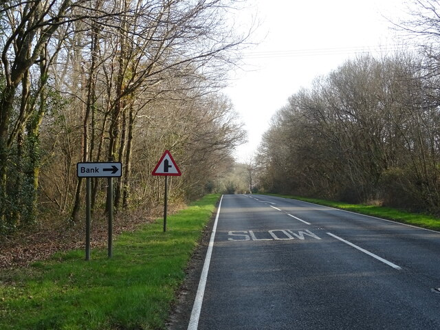
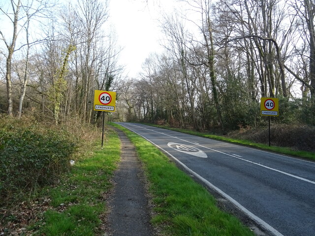
The area is known for its extensive network of walking trails, which provide visitors with the opportunity to explore the stunning countryside. Whether it's a leisurely stroll or a challenging hike, there is something to suit all abilities. The paths wind through fields of wildflowers, ancient woodlands, and open meadows, offering a rich tapestry of landscapes.

Allum Green is home to a wide variety of wildlife, including deer, rabbits, and a plethora of bird species. Birdwatchers flock to the area to catch a glimpse of rare and migratory birds, making it an ideal destination for ornithologists.

The charm of Allum Green extends beyond its natural beauty. The area is dotted with charming villages and historic landmarks. Visitors can explore quaint cottages, visit local pubs, or immerse themselves in the rich history of the region at the nearby museums and heritage sites.

Allum Green is also a popular destination for those seeking outdoor activities. The area offers opportunities for horse riding, cycling, and even camping. The expansive moorland provides the perfect setting for picnics and barbecues, allowing visitors to relax and enjoy the stunning vistas.

In conclusion, Allum Green in Hampshire is a picturesque and diverse area that offers a wealth of natural beauty, outdoor activities, and cultural attractions. Whether you are a nature lover, history enthusiast, or simply seeking a peaceful retreat, Allum Green is sure to captivate and inspire.

If you have any feedback on the listing, please let us know in the comments section below.

Allum Green Images

Images are sourced within 2km of 50.86296/-1.6035891 or Grid Reference SU2707. Thanks to Geograph Open Source API. All images are credited.

The Swan Pub on the A35 out of Lyndhurst
The Swan
Pub on the A35 out of Lyndhurst
Christ Church, Emery Down One of three churches in the benefice of Lyndhurst, Emery Down and Minstead
Christ Church, Emery Down
One of three churches in the benefice of Lyndhurst, Emery Down and Minstead
Old oak and forest clearing
Forest track South from James Hill car park
Forest track
South from James Hill car park
Pool and pony Rather boggy ground between Emery Down and Acres Down
Pool and pony
Rather boggy ground between Emery Down and Acres Down
New Forest woodland
New Forest woodland
Cattle grid on Bolderwood Arboretum Ornamental Drive
Crossroads on the A35 towards Lyndhurst  The A35 is a major (and regularly congested) route along England's south coast. It runs for 97 miles, connecting Honiton in Devon with Southampton in Hampshire, via Poole and Bournemouth, with much of its route passing through Dorset and the New Forest. It is a trunk road for some of its length.
<span class="nowrap"><a title="http://www.sabre-roads.org.uk/wiki/index.php?title=A35" rel="nofollow ugc noopener" href="http://www.sabre-roads.org.uk/wiki/index.php?title=A35">Link</a><img style="margin-left:2px;" alt="External link" title="External link - shift click to open in new window" src="https://s1.geograph.org.uk/img/external.png" width="10" height="10"/></span>  SABRE
Crossroads on the A35 towards Lyndhurst
The A35 is a major (and regularly congested) route along England's south coast. It runs for 97 miles, connecting Honiton in Devon with Southampton in Hampshire, via Poole and Bournemouth, with much of its route passing through Dorset and the New Forest. It is a trunk road for some of its length. LinkExternal link SABRE
Woodland, Warwick Slade
A35 towards Lyndhurst  The A35 is a major (and regularly congested) route along England's south coast. It runs for 97 miles, connecting Honiton in Devon with Southampton in Hampshire, via Poole and Bournemouth, with much of its route passing through Dorset and the New Forest. It is a trunk road for some of its length.
<span class="nowrap"><a title="http://www.sabre-roads.org.uk/wiki/index.php?title=A35" rel="nofollow ugc noopener" href="http://www.sabre-roads.org.uk/wiki/index.php?title=A35">Link</a><img style="margin-left:2px;" alt="External link" title="External link - shift click to open in new window" src="https://s1.geograph.org.uk/img/external.png" width="10" height="10"/></span>  SABRE
A35 towards Lyndhurst
The A35 is a major (and regularly congested) route along England's south coast. It runs for 97 miles, connecting Honiton in Devon with Southampton in Hampshire, via Poole and Bournemouth, with much of its route passing through Dorset and the New Forest. It is a trunk road for some of its length. LinkExternal link SABRE
Grazing beside the A35
Gated track to sewage works
A35 towards Lyndhurst  The A35 is a major (and regularly congested) route along England's south coast. It runs for 97 miles, connecting Honiton in Devon with Southampton in Hampshire, via Poole and Bournemouth, with much of its route passing through Dorset and the New Forest. It is a trunk road for some of its length.
<span class="nowrap"><a title="http://www.sabre-roads.org.uk/wiki/index.php?title=A35" rel="nofollow ugc noopener" href="http://www.sabre-roads.org.uk/wiki/index.php?title=A35">Link</a><img style="margin-left:2px;" alt="External link" title="External link - shift click to open in new window" src="https://s1.geograph.org.uk/img/external.png" width="10" height="10"/></span>  SABRE
A35 towards Lyndhurst
The A35 is a major (and regularly congested) route along England's south coast. It runs for 97 miles, connecting Honiton in Devon with Southampton in Hampshire, via Poole and Bournemouth, with much of its route passing through Dorset and the New Forest. It is a trunk road for some of its length. LinkExternal link SABRE
Powerlines and woodland near Bank
A35 near Bank The A35 is a major (and regularly congested) route along England's south coast. It runs for 97 miles, connecting Honiton in Devon with Southampton in Hampshire, via Poole and Bournemouth, with much of its route passing through Dorset and the New Forest. It is a trunk road for some of its length.
<span class="nowrap"><a title="http://www.sabre-roads.org.uk/wiki/index.php?title=A35" rel="nofollow ugc noopener" href="http://www.sabre-roads.org.uk/wiki/index.php?title=A35">Link</a><img style="margin-left:2px;" alt="External link" title="External link - shift click to open in new window" src="https://s1.geograph.org.uk/img/external.png" width="10" height="10"/></span>  SABRE
A35 near Bank
The A35 is a major (and regularly congested) route along England's south coast. It runs for 97 miles, connecting Honiton in Devon with Southampton in Hampshire, via Poole and Bournemouth, with much of its route passing through Dorset and the New Forest. It is a trunk road for some of its length. LinkExternal link SABRE
Entering Lyndhurst  on the A35
Entering Lyndhurst on the A35
Woodland, Lyndhurst Hill
A35 Lyndhurst Hill
A35 Lyndhurst Hill
Show me another place!

Allum Green is located at Grid Ref: SU2707 (Lat: 50.86296, Lng: -1.6035891)

Administrative County: Hampshire

District: New Forest

Police Authority: Hampshire

What 3 Words

///subsystem.correctly.butterfly. Near Lyndhurst, Hampshire

Related Wikis

Allum Green

Allum Green is a hamlet southwest of Lyndhurst, Hampshire, England. During the night of 5/6 September 1940 it was the scene of a Luftwaffe bombing raid...

Bank, Hampshire

Bank is a village in the English county of Hampshire. The settlement is within the civil parish of Lyndhurst in the New Forest, and is located approximately...

New Forest

The New Forest is one of the largest remaining tracts of unenclosed pasture land, heathland and forest in Southern England, covering southwest Hampshire...

Christ Church, Emery Down

Christ Church is a Church of England church in Emery Down, Hampshire, England. It was designed by William Butterfield and constructed in 1863–64. The church...

Knightwood Oak

The Knightwood Oak is a pedunculate oak and the largest, and perhaps most famous, oak tree in the New Forest, in southern England. It is also known as...

Portuguese Fireplace

The Portuguese Fireplace is a war memorial in the New Forest National Park, near the village of Lyndhurst, Hampshire, England. It is located on the road...

Emery Down

Emery Down is a small village in the New Forest National Park in Hampshire, England. Its nearest town is Lyndhurst, which lies approximately 1.4 miles...

Lyndhurst, Hampshire

Lyndhurst is a large village and civil parish situated in the New Forest National Park in Hampshire, England, about nine miles (14 km) south-west of Southampton...

Nearby Amenities

Located within 500m of 50.86296,-1.6035891
Bench
Note: Memorial seat
Source Amenity: OS_OpenData_StreetView
Lat/Long: 50.8609558/-1.6054158
Barrier: cattle_grid
Bicycle: yes
Foot: yes
Motorcar: yes
Motorcycle: yes
Lat/Long: 50.8612987/-1.6016402
fire hydrant
Lat/Long: 50.8605927/-1.598336
Allum Green
Place: hamlet
Wikidata: Q4733340
Lat/Long: 50.8622196/-1.6035953
The data included in this document is from www.openstreetmap.org. The data is made available under ODbL.

Have you been to Allum Green?

Leave your review of Allum Green below (or comments, questions and feedback).