Arthington Pastures

Downs, Moorland in Yorkshire

England

Arthington Pastures

Arthington Viaduct Arthington Viaduct, built 1846, carries the Harrogate-Leeds railway line from North Yorkshire across the River Wharfe into West Yorkshire.  The viaduct, for the Leeds and Thirsk Railway, was engineered by Thomas Granger and built by James Bray. It was 1510 feet long, had 21 arches and required over 50,000 tons of stone to construct.
Arthington Viaduct Credit: Roger Crowther

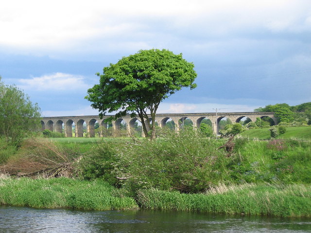
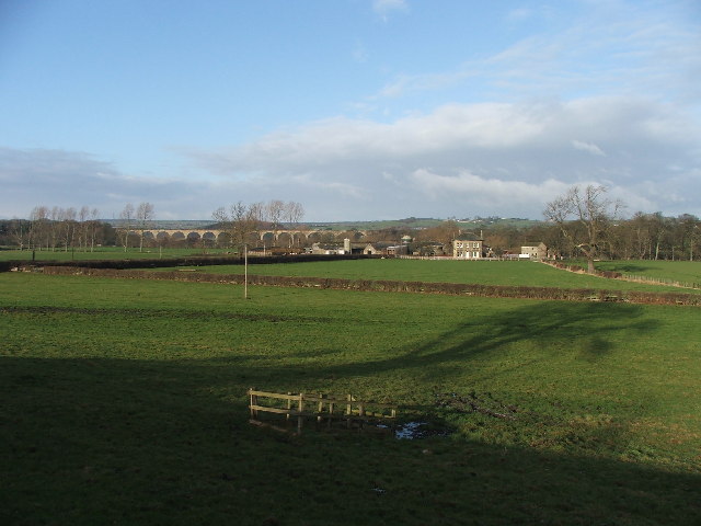
Arthington Pastures, located in the county of Yorkshire, England, is a picturesque area encompassing a mix of downs and moorland. Stretching across a vast expanse, this natural landscape offers a diverse range of habitats and stunning views.

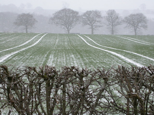
The Downs of Arthington Pastures showcase rolling hills covered in lush green grass, creating a serene and peaceful atmosphere. These open spaces provide a haven for various flora and fauna, with wildflowers dotting the landscape during the spring and summer months. The gentle slopes of the downs make it an ideal location for leisurely walks and picnics, offering visitors the chance to immerse themselves in nature.

Moving towards the moorland, the scenery transforms into a rugged and untamed terrain. Heather-covered hills dominate the landscape, painting the area in vibrant shades of purple during the blooming season. Moorland birds, such as grouse and curlews, can be spotted in this unique ecosystem, making it a haven for birdwatchers and nature enthusiasts alike.

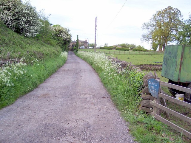
Arthington Pastures is also home to several walking trails, allowing visitors to explore the area at their own pace. The paths wind through the downs and moorland, offering breathtaking views of the surrounding countryside. The tranquility of the pastures provides a much-needed escape from the hustle and bustle of city life.

Overall, Arthington Pastures in Yorkshire offers a diverse and captivating landscape, combining the gentle beauty of downs with the rugged charm of moorland. Its natural appeal and rich biodiversity make it a must-visit destination for those seeking a peaceful retreat in the heart of the English countryside.

If you have any feedback on the listing, please let us know in the comments section below.

Arthington Pastures Images

Images are sourced within 2km of 53.906222/-1.5751292 or Grid Reference SE2845. Thanks to Geograph Open Source API. All images are credited.

Arthington Viaduct Arthington Viaduct, built 1846, carries the Harrogate-Leeds railway line from North Yorkshire across the River Wharfe into West Yorkshire.  The viaduct, for the Leeds and Thirsk Railway, was engineered by Thomas Granger and built by James Bray. It was 1510 feet long, had 21 arches and required over 50,000 tons of stone to construct.
Arthington Viaduct
Arthington Viaduct, built 1846, carries the Harrogate-Leeds railway line from North Yorkshire across the River Wharfe into West Yorkshire. The viaduct, for the Leeds and Thirsk Railway, was engineered by Thomas Granger and built by James Bray. It was 1510 feet long, had 21 arches and required over 50,000 tons of stone to construct.
Weeton Rather a scattered little place, but this is the nearest to the centre you can get to - the road going towards Huby. The village boasts no shop, no pub - but does have a church and a railway station.
Weeton
Rather a scattered little place, but this is the nearest to the centre you can get to - the road going towards Huby. The village boasts no shop, no pub - but does have a church and a railway station.
Woodgate Lane, Weeton Looking north.
Woodgate Lane, Weeton
Looking north.
Mill Farm. with WHARFEDALE viaduct in the background.
Mill Farm.
with WHARFEDALE viaduct in the background.
St Peters, Arthington.
Road with hedgerows. Looking S from SE 299 451 near Low Weardley.
Road with hedgerows.
Looking S from SE 299 451 near Low Weardley.
Rawden Hill. At Weardley.  Looking SW from SE299451.
Rawden Hill.
At Weardley. Looking SW from SE299451.
High Weardley. Looking E.
High Weardley.
Looking E.
Farmland near High Weardley. Looking S from se293445.
Farmland near High Weardley.
Looking S from se293445.
Bank End Farm. Looking W from Bedlam Lane.
Bank End Farm.
Looking W from Bedlam Lane.
Snowy fields at Ingfield Farm The bare hedgerow, trees and snow-lined furrows make a wintry scene.
Snowy fields at Ingfield Farm
The bare hedgerow, trees and snow-lined furrows make a wintry scene.
The Nunnery Now a private residence, a Cluniac Nunnery was founded on this site in 1150 by Peter de Arthington.
The Nunnery
Now a private residence, a Cluniac Nunnery was founded on this site in 1150 by Peter de Arthington.
Huby Picture taken on rather a dull rainy May evening in Huby, looking west towards Weeton Station railway bridge.
Huby
Picture taken on rather a dull rainy May evening in Huby, looking west towards Weeton Station railway bridge.
Lower Wharfe Valley Farmland in the lower Wharfe valley looking south towards Weardley.
Lower Wharfe Valley
Farmland in the lower Wharfe valley looking south towards Weardley.
Chapel Hill Farm Looking north east to Castle Hill Farm from just after the railway bridge.
Chapel Hill Farm
Looking north east to Castle Hill Farm from just after the railway bridge.
Sheep at Wescoe Hill Sheep being herded across the road at Wescoe Hill near the former Brymoor Ice Cream Parlour. Farmer's son has a quad bike. Picture taken looking north east.
Sheep at Wescoe Hill
Sheep being herded across the road at Wescoe Hill near the former Brymoor Ice Cream Parlour. Farmer's son has a quad bike. Picture taken looking north east.
Castley Farm Looking south towards the hamlet of Castley which nestles at the very end of Arthington Viaduct.
Castley Farm
Looking south towards the hamlet of Castley which nestles at the very end of Arthington Viaduct.
Huby Methodist Church This Church is on the western boundary of the O/S grid which it occupies, to the north of centre
Huby Methodist Church
This Church is on the western boundary of the O/S grid which it occupies, to the north of centre
Show me another place!

Arthington Pastures is located at Grid Ref: SE2845 (Lat: 53.906222, Lng: -1.5751292)

Division: West Riding

Unitary Authority: Leeds

Police Authority: West Yorkshire

What 3 Words

///grudging.trailers.adjusting. Near Pool, West Yorkshire

Related Wikis

Kirkstall Road Viaduct

Kirkstall Road Viaduct is a Grade II listed railway viaduct carrying the Harrogate line over the A65 Kirkstall Road, the River Aire, and the Leeds and...

Arthington

Arthington is a linear village in Wharfedale, in the City of Leeds metropolitan borough in West Yorkshire, England. It is a civil parish which, according...
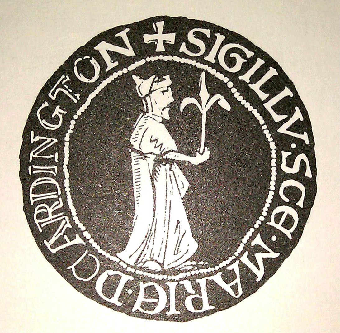
Arthington Priory

Arthington Priory was an English monastery which was home to a community of nuns in Arthington, West Yorkshire, founded in the mid-12th century. The priory...

Castley

Castley is a village and civil parish in the Harrogate district of North Yorkshire, England. It lies on a bend in the River Wharfe about 10 miles (16 km...

Weeton, North Yorkshire

Weeton is a village and civil parish in the Harrogate district of North Yorkshire, England. The name is first attested in the Domesday Book of 1086 as...

Arthington Viaduct

Arthington Viaduct, listed known as the Wharfedale Viaduct, carries the Harrogate Line across the Wharfe valley between Arthington in West Yorkshire...

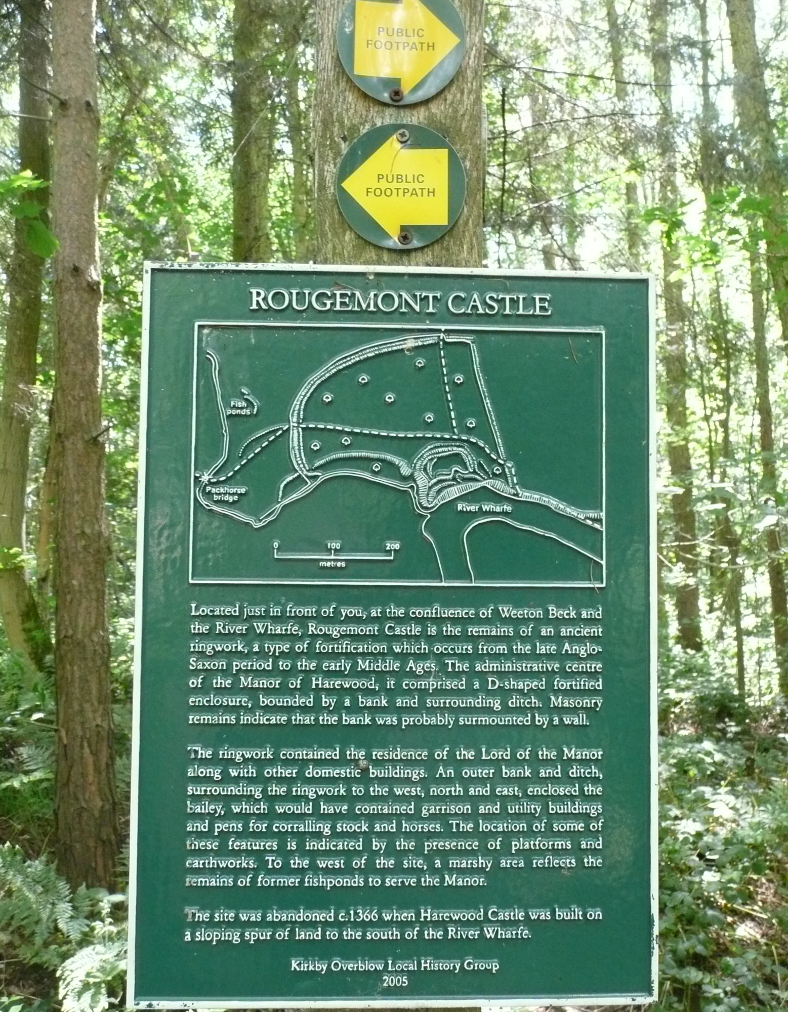
Rougemont Castle, Weeton

Rougemont Castle in the manor of Harewood, in the parish of Weeton, North Yorkshire, England, is a ruined ringwork castle, now largely hidden within over...

Huby, Harrogate

Huby is a village in the Harrogate district of North Yorkshire that lies approximately 5 miles (8 km) south of the town of Harrogate and 8.63 miles (13...

Nearby Amenities

Located within 500m of 53.906222,-1.5751292
Arthington Pastures
Place: locality
Source: os_25k_firstseries
Lat/Long: 53.9067696/-1.5754862
The data included in this document is from www.openstreetmap.org. The data is made available under ODbL.

Have you been to Arthington Pastures?

Leave your review of Arthington Pastures below (or comments, questions and feedback).