Bramble Hill

Hill, Mountain in Hampshire New Forest

England

Bramble Hill

The Swan Pub on the A35 out of Lyndhurst
The Swan Credit: John Myers

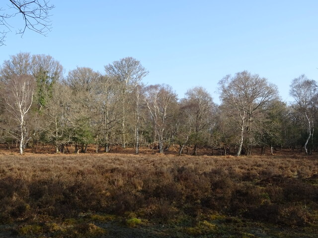
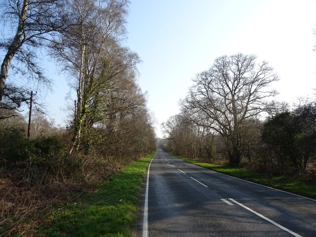
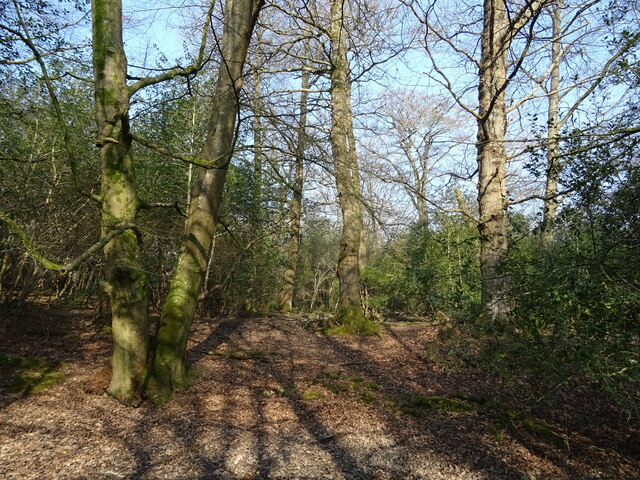
Bramble Hill is a charming hill located in the county of Hampshire, England. Situated in the New Forest National Park, it forms part of the picturesque landscape that attracts visitors from near and far. As its name suggests, the hill is adorned with an abundance of brambles, which add to its natural beauty.

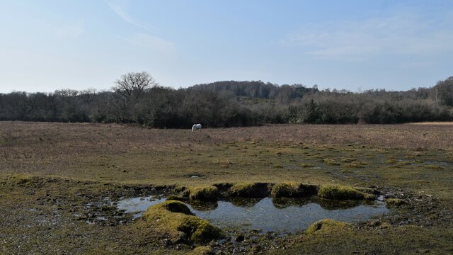
Rising to a height of approximately 120 meters (394 feet) above sea level, Bramble Hill offers panoramic views of the surrounding countryside. From its summit, visitors can feast their eyes on rolling green hills, dense woodlands, and the meandering streams that characterize the New Forest region.

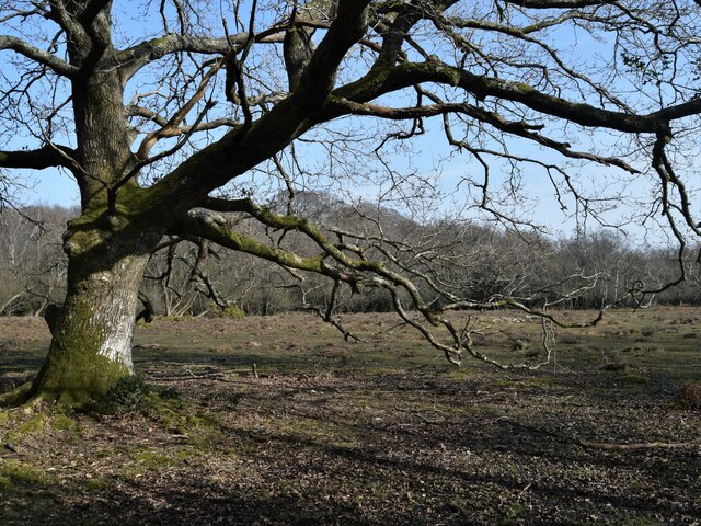
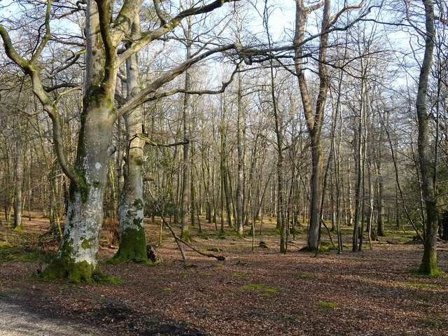
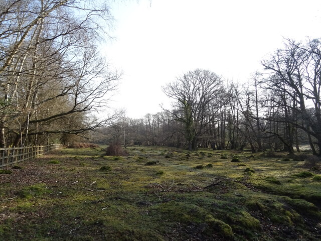
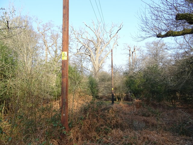
The hill is a haven for nature enthusiasts, boasting a diverse range of flora and fauna. It is home to a variety of wildlife, including deer, rabbits, and a plethora of bird species. Bramble Hill also features a mix of deciduous and coniferous trees, providing a delightful canopy of colors throughout the seasons.

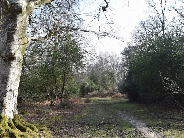
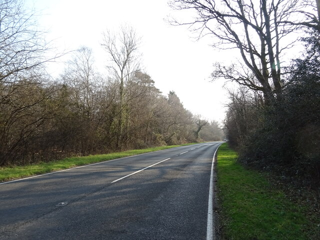
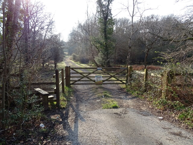
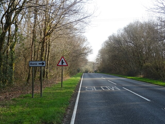
The area surrounding Bramble Hill is crisscrossed by numerous walking trails, making it a popular spot for hikers and ramblers. These trails offer the perfect opportunity to explore the enchanting woodlands, discover hidden glades, and stumble upon the occasional ancient monument or burial mound.

Bramble Hill is not only a nature lover's paradise but also a place of historical significance. It is said to have been an important site during the Iron Age, with evidence of ancient settlements and earthworks still visible today.

Overall, Bramble Hill is a captivating destination that showcases the idyllic beauty of Hampshire's countryside. Whether visitors come to admire the breathtaking views, immerse themselves in nature, or delve into the area's rich history, this hill offers a truly unforgettable experience.

If you have any feedback on the listing, please let us know in the comments section below.
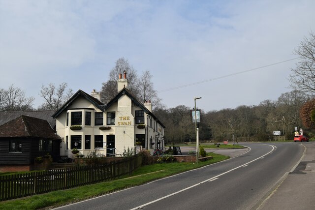
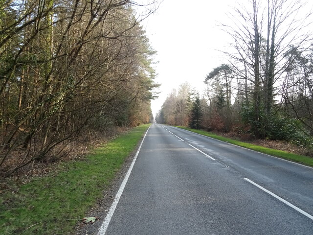
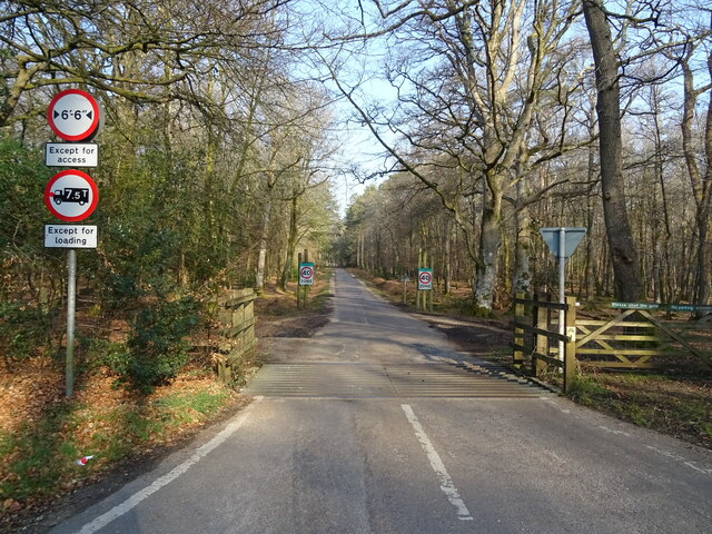
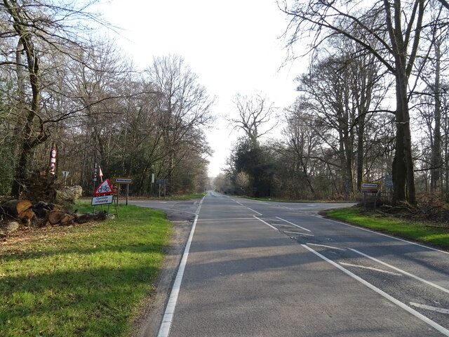
Bramble Hill Images

Images are sourced within 2km of 50.864111/-1.6090499 or Grid Reference SU2707. Thanks to Geograph Open Source API. All images are credited.

The Swan Pub on the A35 out of Lyndhurst
The Swan
Pub on the A35 out of Lyndhurst
Christ Church, Emery Down One of three churches in the benefice of Lyndhurst, Emery Down and Minstead
Christ Church, Emery Down
One of three churches in the benefice of Lyndhurst, Emery Down and Minstead
Old oak and forest clearing
Forest track South from James Hill car park
Forest track
South from James Hill car park
Pool and pony Rather boggy ground between Emery Down and Acres Down
Pool and pony
Rather boggy ground between Emery Down and Acres Down
A35 towards Lyndhurst  The A35 is a major (and regularly congested) route along England's south coast. It runs for 97 miles, connecting Honiton in Devon with Southampton in Hampshire, via Poole and Bournemouth, with much of its route passing through Dorset and the New Forest. It is a trunk road for some of its length.
<span class="nowrap"><a title="http://www.sabre-roads.org.uk/wiki/index.php?title=A35" rel="nofollow ugc noopener" href="http://www.sabre-roads.org.uk/wiki/index.php?title=A35">Link</a><img style="margin-left:2px;" alt="External link" title="External link - shift click to open in new window" src="https://s1.geograph.org.uk/img/external.png" width="10" height="10"/></span>  SABRE
A35 towards Lyndhurst
The A35 is a major (and regularly congested) route along England's south coast. It runs for 97 miles, connecting Honiton in Devon with Southampton in Hampshire, via Poole and Bournemouth, with much of its route passing through Dorset and the New Forest. It is a trunk road for some of its length. LinkExternal link SABRE
New Forest woodland
New Forest woodland
Cattle grid on Bolderwood Arboretum Ornamental Drive
Crossroads on the A35 towards Lyndhurst  The A35 is a major (and regularly congested) route along England's south coast. It runs for 97 miles, connecting Honiton in Devon with Southampton in Hampshire, via Poole and Bournemouth, with much of its route passing through Dorset and the New Forest. It is a trunk road for some of its length.
<span class="nowrap"><a title="http://www.sabre-roads.org.uk/wiki/index.php?title=A35" rel="nofollow ugc noopener" href="http://www.sabre-roads.org.uk/wiki/index.php?title=A35">Link</a><img style="margin-left:2px;" alt="External link" title="External link - shift click to open in new window" src="https://s1.geograph.org.uk/img/external.png" width="10" height="10"/></span>  SABRE
Crossroads on the A35 towards Lyndhurst
The A35 is a major (and regularly congested) route along England's south coast. It runs for 97 miles, connecting Honiton in Devon with Southampton in Hampshire, via Poole and Bournemouth, with much of its route passing through Dorset and the New Forest. It is a trunk road for some of its length. LinkExternal link SABRE
Woodland, Warwick Slade
A35 towards Lyndhurst  The A35 is a major (and regularly congested) route along England's south coast. It runs for 97 miles, connecting Honiton in Devon with Southampton in Hampshire, via Poole and Bournemouth, with much of its route passing through Dorset and the New Forest. It is a trunk road for some of its length.
<span class="nowrap"><a title="http://www.sabre-roads.org.uk/wiki/index.php?title=A35" rel="nofollow ugc noopener" href="http://www.sabre-roads.org.uk/wiki/index.php?title=A35">Link</a><img style="margin-left:2px;" alt="External link" title="External link - shift click to open in new window" src="https://s1.geograph.org.uk/img/external.png" width="10" height="10"/></span>  SABRE
A35 towards Lyndhurst
The A35 is a major (and regularly congested) route along England's south coast. It runs for 97 miles, connecting Honiton in Devon with Southampton in Hampshire, via Poole and Bournemouth, with much of its route passing through Dorset and the New Forest. It is a trunk road for some of its length. LinkExternal link SABRE
Grazing beside the A35
Gated track to sewage works
A35 towards Lyndhurst  The A35 is a major (and regularly congested) route along England's south coast. It runs for 97 miles, connecting Honiton in Devon with Southampton in Hampshire, via Poole and Bournemouth, with much of its route passing through Dorset and the New Forest. It is a trunk road for some of its length.
<span class="nowrap"><a title="http://www.sabre-roads.org.uk/wiki/index.php?title=A35" rel="nofollow ugc noopener" href="http://www.sabre-roads.org.uk/wiki/index.php?title=A35">Link</a><img style="margin-left:2px;" alt="External link" title="External link - shift click to open in new window" src="https://s1.geograph.org.uk/img/external.png" width="10" height="10"/></span>  SABRE
A35 towards Lyndhurst
The A35 is a major (and regularly congested) route along England's south coast. It runs for 97 miles, connecting Honiton in Devon with Southampton in Hampshire, via Poole and Bournemouth, with much of its route passing through Dorset and the New Forest. It is a trunk road for some of its length. LinkExternal link SABRE
Powerlines and woodland near Bank
A35 near Bank The A35 is a major (and regularly congested) route along England's south coast. It runs for 97 miles, connecting Honiton in Devon with Southampton in Hampshire, via Poole and Bournemouth, with much of its route passing through Dorset and the New Forest. It is a trunk road for some of its length.
<span class="nowrap"><a title="http://www.sabre-roads.org.uk/wiki/index.php?title=A35" rel="nofollow ugc noopener" href="http://www.sabre-roads.org.uk/wiki/index.php?title=A35">Link</a><img style="margin-left:2px;" alt="External link" title="External link - shift click to open in new window" src="https://s1.geograph.org.uk/img/external.png" width="10" height="10"/></span>  SABRE
A35 near Bank
The A35 is a major (and regularly congested) route along England's south coast. It runs for 97 miles, connecting Honiton in Devon with Southampton in Hampshire, via Poole and Bournemouth, with much of its route passing through Dorset and the New Forest. It is a trunk road for some of its length. LinkExternal link SABRE
Entering Lyndhurst  on the A35
Entering Lyndhurst on the A35
Woodland, Lyndhurst Hill
Show me another place!

Bramble Hill is located at Grid Ref: SU2707 (Lat: 50.864111, Lng: -1.6090499)

Administrative County: Hampshire

District: New Forest

Police Authority: Hampshire

What 3 Words

///throwaway.stopwatch.darting. Near Lyndhurst, Hampshire

Related Wikis

Allum Green

Allum Green is a hamlet southwest of Lyndhurst, Hampshire, England. During the night of 5/6 September 1940 it was the scene of a Luftwaffe bombing raid...

New Forest

The New Forest is one of the largest remaining tracts of unenclosed pasture land, heathland and forest in Southern England, covering southwest Hampshire...

Bank, Hampshire

Bank is a village in the English county of Hampshire. The settlement is within the civil parish of Lyndhurst in the New Forest, and is located approximately...

Portuguese Fireplace

The Portuguese Fireplace is a war memorial in the New Forest National Park, near the village of Lyndhurst, Hampshire, England. It is located on the road...

Knightwood Oak

The Knightwood Oak is a pedunculate oak and the largest, and perhaps most famous, oak tree in the New Forest, in southern England. It is also known as...

Christ Church, Emery Down

Christ Church is a Church of England church in Emery Down, Hampshire, England. It was designed by William Butterfield and constructed in 1863–64. The church...

Emery Down

Emery Down is a small village in the New Forest National Park in Hampshire, England. Its nearest town is Lyndhurst, which lies approximately 1.4 miles...

Warwickslade Cutting Railway

The Warwickslade Cutting Railway was a light railway temporarily built to fill in the Warwickslade Cutting, a straight drainage ditch dug circa 1850 in...

Nearby Amenities

Located within 500m of 50.864111,-1.6090499
Bench
Note: Memorial seat
Source Amenity: OS_OpenData_StreetView
Lat/Long: 50.8609558/-1.6054158
Clay Ford
Ford: yes
Source: OS-OpenData_StreetView
Lat/Long: 50.8639067/-1.6154961
Ford: yes
Lat/Long: 50.8632918/-1.6156023
Allum Green
Place: hamlet
Wikidata: Q4733340
Lat/Long: 50.8622196/-1.6035953
The data included in this document is from www.openstreetmap.org. The data is made available under ODbL.

Have you been to Bramble Hill?

Leave your review of Bramble Hill below (or comments, questions and feedback).