How Hill
Hill, Mountain in Yorkshire Harrogate
England
How Hill
How Hill, Yorkshire, is a picturesque hill located in the northern region of England. Situated in the county of Yorkshire, it is part of the larger Yorkshire Dales National Park. The hill is approximately 1,000 feet above sea level, offering breathtaking panoramic views of the surrounding countryside.
Covered in lush green grass and dotted with vibrant wildflowers during the spring and summer months, How Hill is a popular destination for nature enthusiasts and hikers. The gentle slopes and well-maintained trails make it accessible to all levels of walkers, from beginners to experienced trekkers. The hill is also home to a variety of wildlife, including birds, sheep, and occasionally deer, providing ample opportunities for wildlife spotting.
At the summit of How Hill, visitors are rewarded with stunning vistas that stretch for miles. On clear days, it is possible to see the rolling hills of the Yorkshire Dales, as well as nearby towns and villages. The hill is particularly famous for its breathtaking sunsets, attracting photographers and nature lovers alike.
How Hill offers a peaceful and tranquil escape from the hustle and bustle of everyday life. As there are no facilities or amenities on the hill itself, visitors are advised to come prepared with water, snacks, and appropriate clothing for the weather conditions. Whether you are seeking a challenging hike or simply a serene spot to relax and take in the beauty of nature, How Hill, Yorkshire, provides a memorable experience for all who visit.
If you have any feedback on the listing, please let us know in the comments section below.
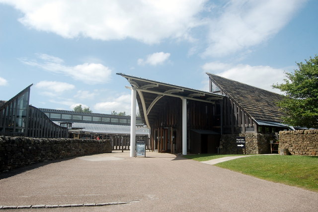
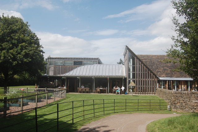
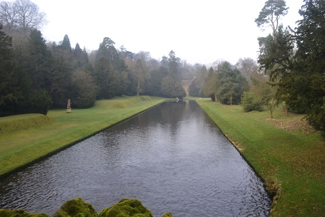
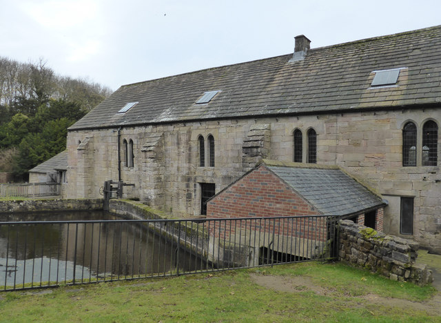
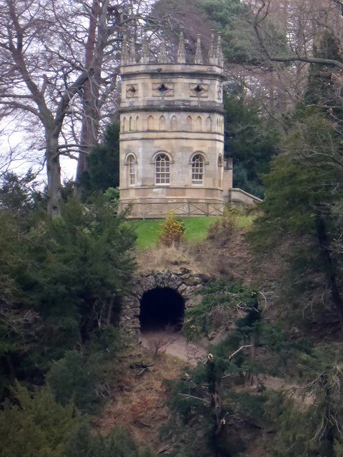
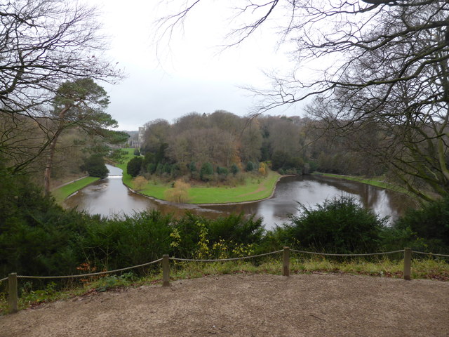
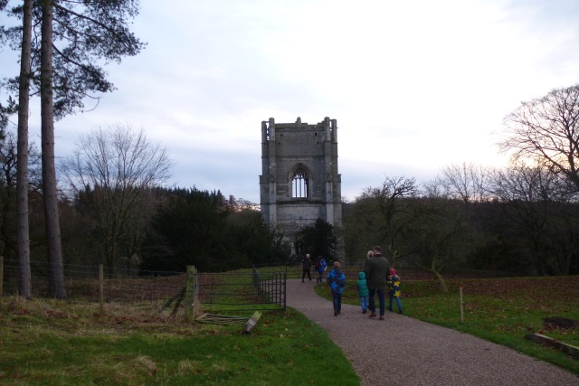
How Hill Images
Images are sourced within 2km of 54.098521/-1.5797582 or Grid Reference SE2767. Thanks to Geograph Open Source API. All images are credited.


How Hill is located at Grid Ref: SE2767 (Lat: 54.098521, Lng: -1.5797582)
Division: West Riding
Administrative County: North Yorkshire
District: Harrogate
Police Authority: North Yorkshire
What 3 Words
///bullion.wobbling.upsetting. Near Ripon, North Yorkshire
Nearby Locations
Related Wikis

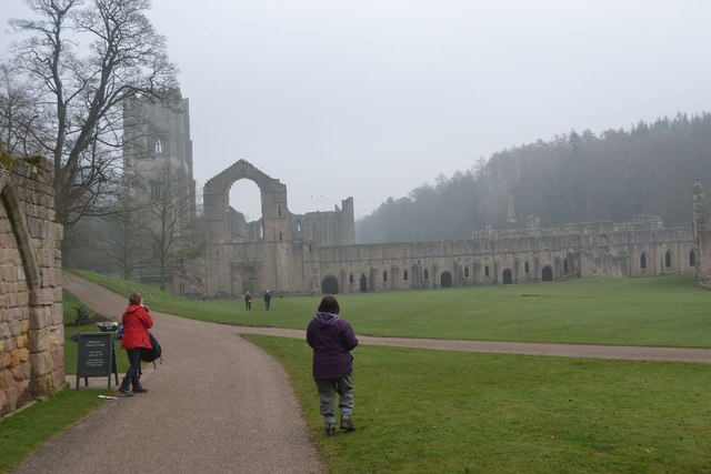
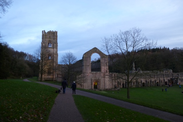
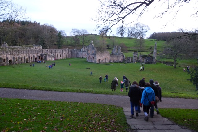
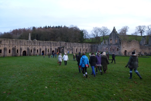
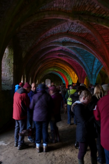
Fountains Abbey
Fountains Abbey is one of the largest and best preserved ruined Cistercian monasteries in England. It is located approximately 3 miles (5 km) south-west...

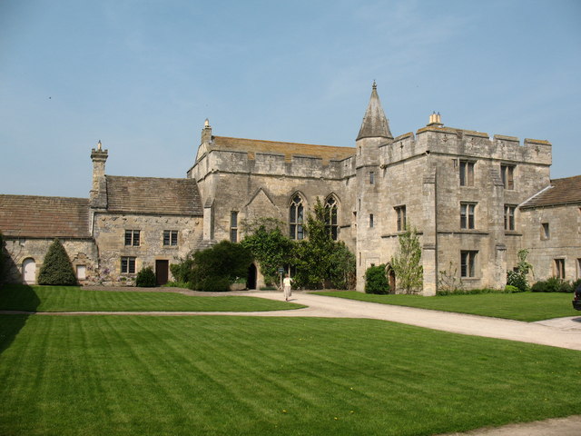
Fountains Hall
Fountains Hall is a country house near Ripon in North Yorkshire, England, located within the World Heritage Site at Studley Royal Park which include the...
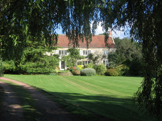
Markenfield Hall
Markenfield Hall is an early 14th-century moated manor house about 3 miles (5 km) south of Ripon, North Yorkshire, England. It is in the civil parish of...
Ingerthorpe
Ingerthorpe is a hamlet and former civil parish about 7 miles (11 km) from Harrogate, now in the parish of Markington with Wallerthwaite, in the Harrogate...
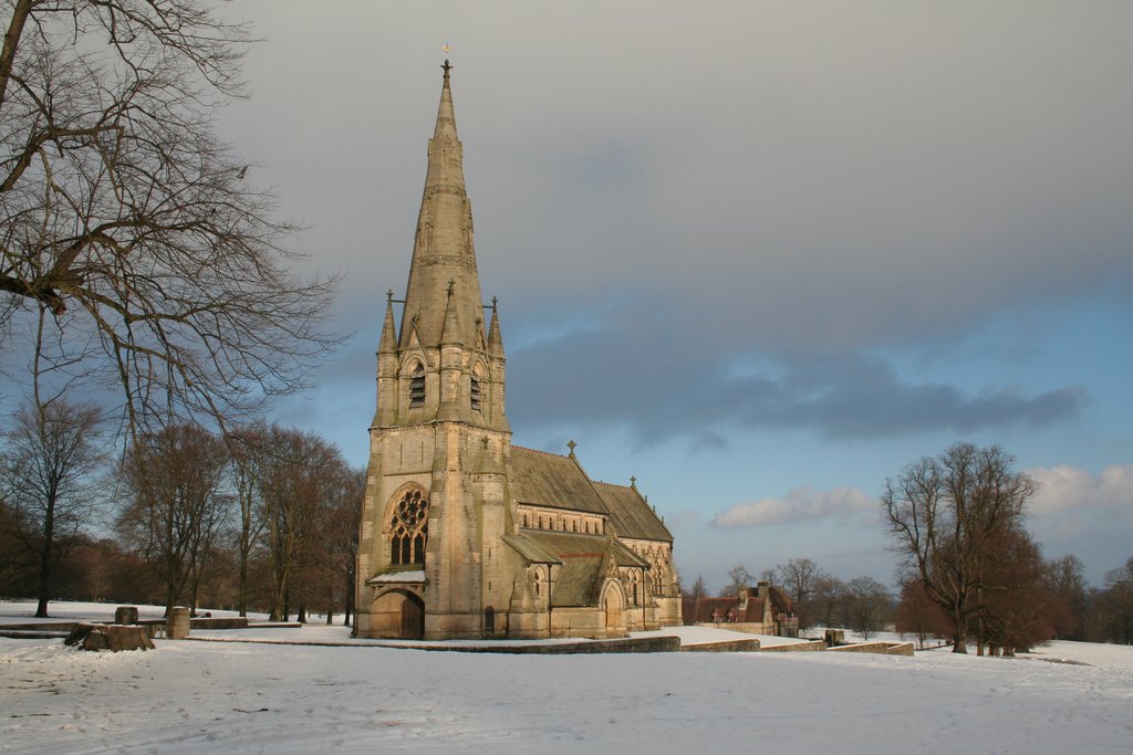
St Mary's, Studley Royal
The Church of St Mary, Studley Royal, is a Victorian Gothic Revival church built in the Early English style by William Burges. It is located in the grounds...

Markington
Markington is a village in the Harrogate district, in the English county of North Yorkshire. The population of the civil parish (including Markenfield...

Aldfield
Aldfield is a village and civil parish in the former Harrogate district of North Yorkshire, England, about three miles west of Ripon. It is the closest...

Studley Roger
Studley Roger is a small village and civil parish in the Harrogate district of North Yorkshire, England, and it is about 1 mile west of the historical...
Nearby Amenities
Located within 500m of 54.098521,-1.5797582Have you been to How Hill?
Leave your review of How Hill below (or comments, questions and feedback).