Balbuthie

Settlement in Fife

Scotland

Balbuthie

Remains of Ardross Castle The remains in view are thought to date back to the 15th or 16th centuries - please see <span class="nowrap"><a title="http://www.undiscoveredscotland.co.uk/stmonans/ardrosscastle/index.html" rel="nofollow ugc noopener" href="http://www.undiscoveredscotland.co.uk/stmonans/ardrosscastle/index.html">Link</a><img style="margin-left:2px;" alt="External link" title="External link - shift click to open in new window" src="https://s1.geograph.org.uk/img/external.png" width="10" height="10"/></span> for more background.
Remains of Ardross Castle Credit: Jim Barton

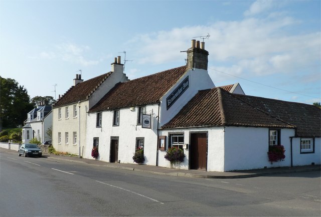
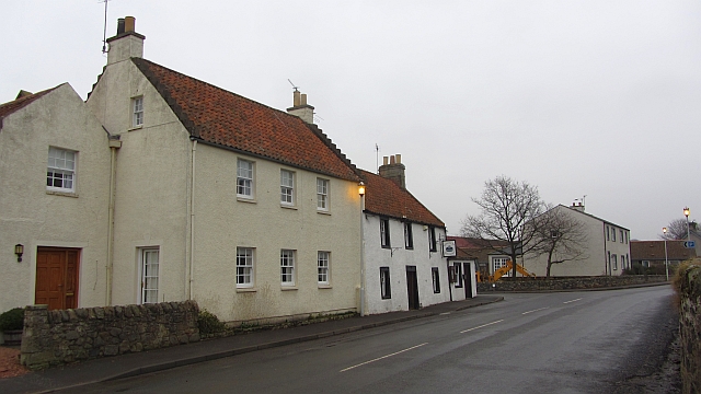
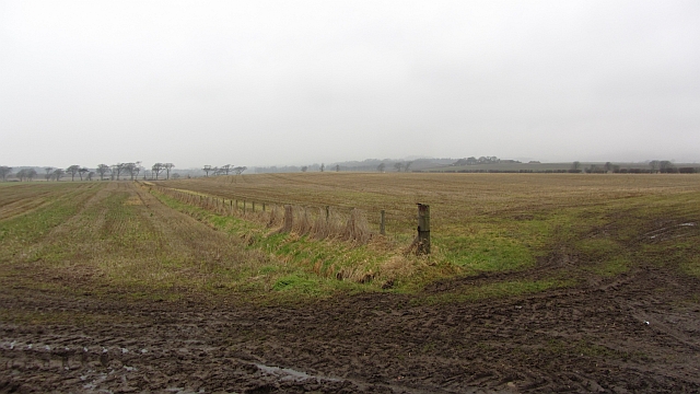
Balbuthie is a small village located in the northeastern part of Fife, Scotland. Situated near the coast, it lies approximately 3 miles southwest of the town of St Andrews. With a population of around 200 residents, the village is known for its picturesque setting and tranquil atmosphere.

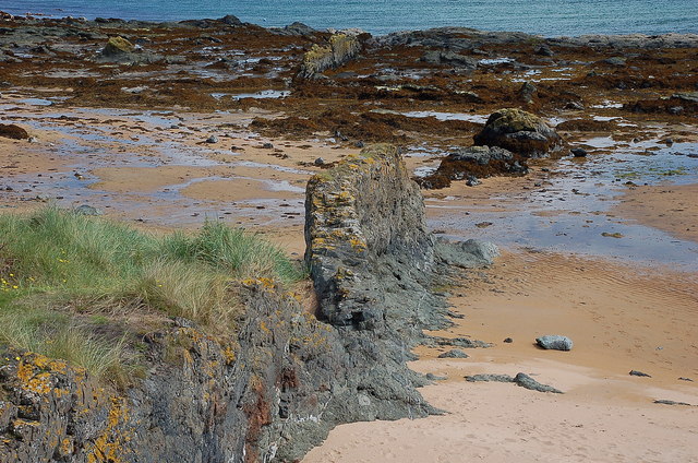
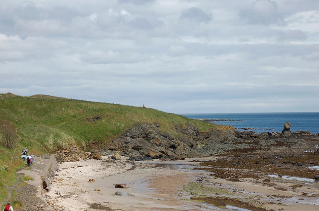
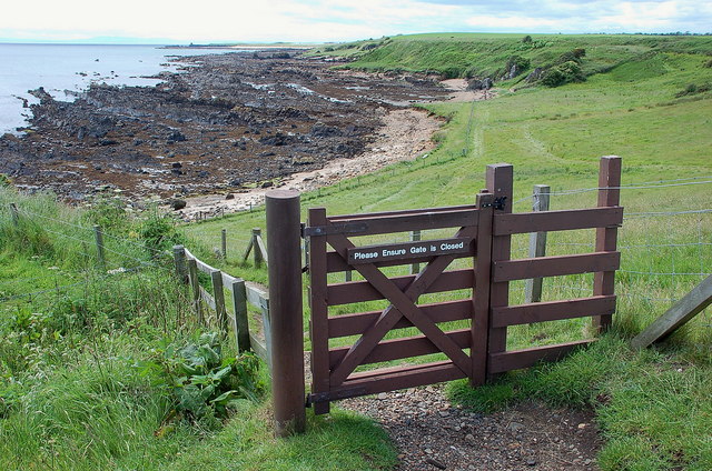
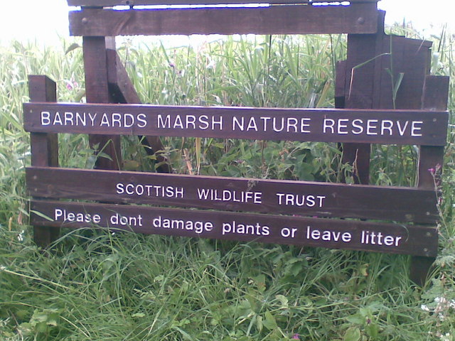
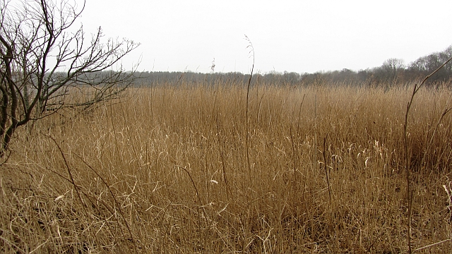
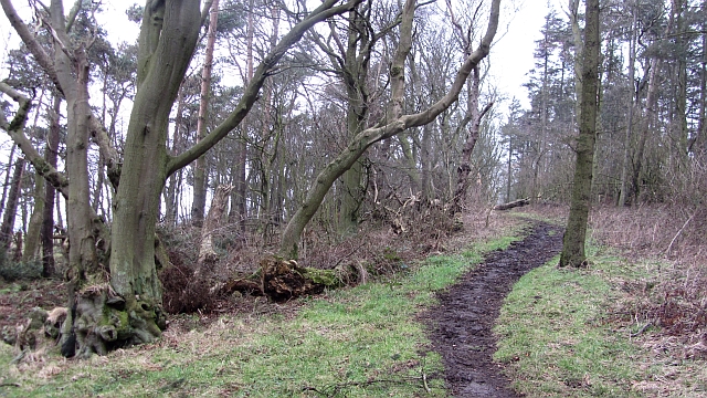
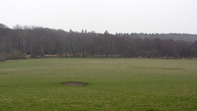
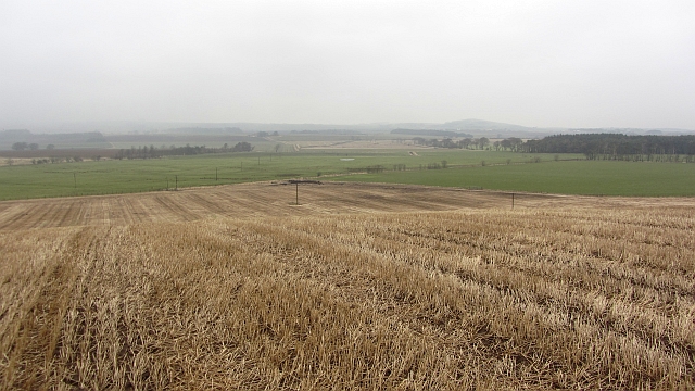
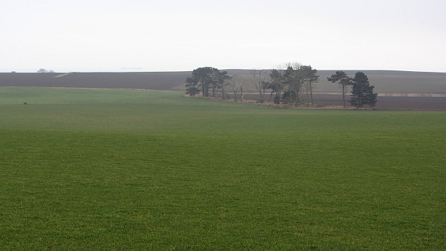
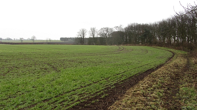
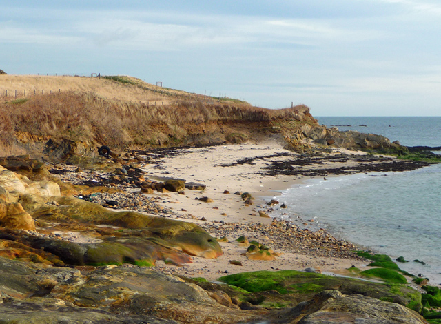
The village is surrounded by scenic countryside, offering stunning views of rolling hills and farmland. Balbuthie is also in close proximity to the Fife coastline, providing easy access to beautiful sandy beaches and rugged cliffs. This makes it an ideal location for outdoor activities such as walking, cycling, and birdwatching.

Historically, Balbuthie was primarily an agricultural community, with farming playing a significant role in the local economy. Over the years, however, the village has seen some diversification, with a few small businesses and services catering to the needs of the residents.

Despite its small size, Balbuthie boasts a strong sense of community spirit. The village has a community hall, which serves as a hub for social gatherings, events, and activities. The local primary school, Balbuthie Primary, provides education for children within the village and surrounding areas.

For amenities and additional services, residents of Balbuthie can easily access the nearby town of St Andrews. The town offers a wide range of shops, restaurants, and leisure facilities, as well as a renowned university.

In conclusion, Balbuthie is a charming village in the heart of Fife, offering residents a peaceful and idyllic setting, with easy access to both the countryside and the coast.

If you have any feedback on the listing, please let us know in the comments section below.

Balbuthie Images

Images are sourced within 2km of 56.20795/-2.807604 or Grid Reference NO5002. Thanks to Geograph Open Source API. All images are credited.

Remains of Ardross Castle The remains in view are thought to date back to the 15th or 16th centuries - please see <span class="nowrap"><a title="http://www.undiscoveredscotland.co.uk/stmonans/ardrosscastle/index.html" rel="nofollow ugc noopener" href="http://www.undiscoveredscotland.co.uk/stmonans/ardrosscastle/index.html">Link</a><img style="margin-left:2px;" alt="External link" title="External link - shift click to open in new window" src="https://s1.geograph.org.uk/img/external.png" width="10" height="10"/></span> for more background.
Remains of Ardross Castle
The remains in view are thought to date back to the 15th or 16th centuries - please see LinkExternal link for more background.
Volcanic dyke on the shore, Ardross A good example of a volcanic dyke which appears to continue further out, but displaced leftwards in this view as if by faulting.
Volcanic dyke on the shore, Ardross
A good example of a volcanic dyke which appears to continue further out, but displaced leftwards in this view as if by faulting.
On the Fife Coast path, Ardross The path hugs the shoreline with the dismantled line of the Leven and East of Fife railway out of shot to the left.
On the Fife Coast path, Ardross
The path hugs the shoreline with the dismantled line of the Leven and East of Fife railway out of shot to the left.
Newark Castle The remains date from the 17th century, but are on the site of much a older castle. Bass Rock can be seen to the left.
Newark Castle
The remains date from the 17th century, but are on the site of much a older castle. Bass Rock can be seen to the left.
Fife Coast path at Newark The path passes close by Newark Castle at this point.
Fife Coast path at Newark
The path passes close by Newark Castle at this point.
Barnyards Marsh Nature Reserve, Kilconquhar
Kilconquhar Parish Church
Kilconquhar Parish Church The heart of the tiny Fife village.
Kilconquhar Parish Church
The heart of the tiny Fife village.
The Kinneuchar Inn The village is named Kilconquhar but the local inhabitants always refer to it as 'Kinneuchar' and that is the name given to the sole hostelry in Kilconquhar.
The Kinneuchar Inn
The village is named Kilconquhar but the local inhabitants always refer to it as 'Kinneuchar' and that is the name given to the sole hostelry in Kilconquhar.
Kilconquhar Inn Main Street, Kilconquhar, opposite the church.
Kilconquhar Inn
Main Street, Kilconquhar, opposite the church.
Reed beds,  Kilconquhar Extensive reed beds around the shallow loch.
Reed beds, Kilconquhar
Extensive reed beds around the shallow loch.
Woodland path, Kilconquhar A path near Kilconquhar Castle, it appears to be mainly used by horses.
Woodland path, Kilconquhar
A path near Kilconquhar Castle, it appears to be mainly used by horses.
Field and Carr, Kilconquhar The field was hosting grazing geese. The woodland suggests that the loch was once much larger in area and is changing to a succession woodland.
Field and Carr, Kilconquhar
The field was hosting grazing geese. The woodland suggests that the loch was once much larger in area and is changing to a succession woodland.
Scuddie Hill Stubble on a low ridge near Kilconquhar.  Muck was being spread prior to ploughing.
Scuddie Hill
Stubble on a low ridge near Kilconquhar. Muck was being spread prior to ploughing.
Grass field, Balbuthie A large field, currently under grass.
Grass field, Balbuthie
A large field, currently under grass.
Field, Balcaskie Arable field, like most in the area with the West Strip woodland on the right.
Field, Balcaskie
Arable field, like most in the area with the West Strip woodland on the right.
Fields by Stenton There has been a lot of tractor movement as land is prepared for ploughing or ploughed. There has been some amalgamation but the fields are still big on 19th century maps.
Fields by Stenton
There has been a lot of tractor movement as land is prepared for ploughing or ploughed. There has been some amalgamation but the fields are still big on 19th century maps.
Sandy bay below Ardross One of several beaches skirted by the Fife Coastal Path as it runs between Elie and St Monans.
Sandy bay below Ardross
One of several beaches skirted by the Fife Coastal Path as it runs between Elie and St Monans.
Show me another place!

Balbuthie is located at Grid Ref: NO5002 (Lat: 56.20795, Lng: -2.807604)

Unitary Authority: Fife

Police Authority: Fife

What 3 Words

///recorder.pods.heartache. Near St Monans, Fife

Nearby Locations

Balbuthie Sandyrigs Wood

Related Wikis

Kilconquhar

Kilconquhar ( ki-NYUKH-ər or ; Scots: also Kinneuchar, from the Scottish Gaelic: Cill Dhúnchadha or Scottish Gaelic: Cill Chonchaidh, Church of (St)...
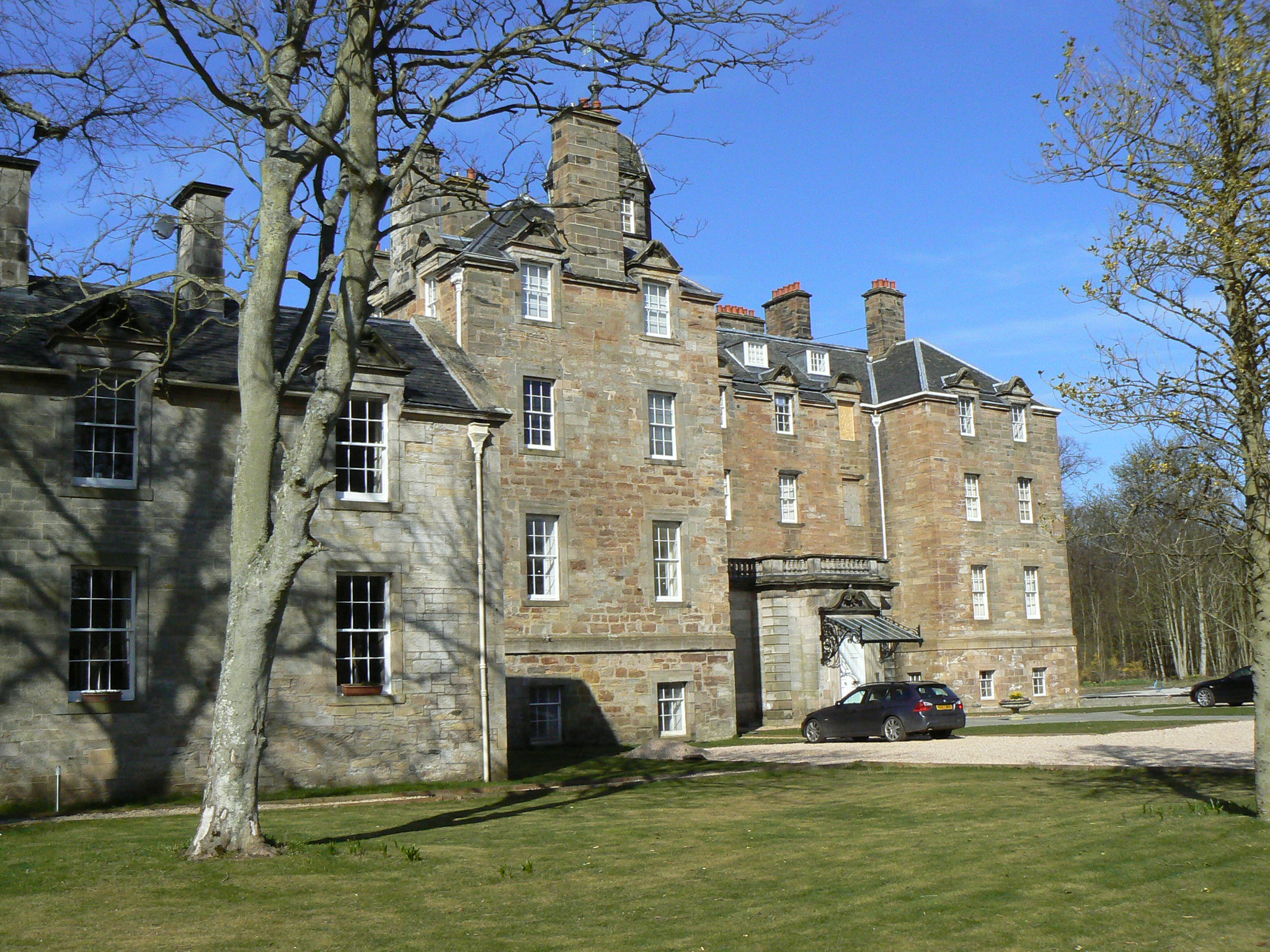
Elie House

Elie House is a country house in Elie, Fife, Scotland. It is a Category A listed building. The house, built in 1697 and incorporating an earlier structure...
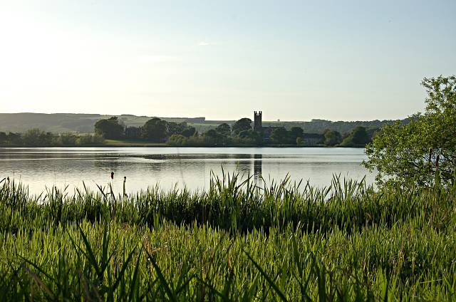
Kilconquhar Loch

Kilconquhar Loch is a Scottish freshwater loch. This small shallow loch is a Site of Special Scientific Interest (SSSI) and is located beside the village...

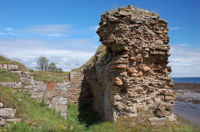
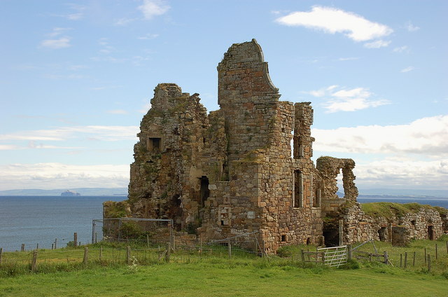
Ardross Castle, Fife

Ardross Castle was a c.14th century castle that was located in Elie and Earlsferry, Fife, Scotland, near the sea. == History == The Dishington family built...

Nearby Amenities

Located within 500m of 56.20795,-2.807604
Power: pole
Lat/Long: 56.2084231/-2.8044462
Power: pole
Lat/Long: 56.2088564/-2.8050086
Power: pole
Lat/Long: 56.2093136/-2.8055912
Power: pole
Lat/Long: 56.2097971/-2.8062687
Power: pole
Lat/Long: 56.2103711/-2.8070207
Power: pole
Lat/Long: 56.2109564/-2.8077908
Power: pole
Lat/Long: 56.2113281/-2.8086603
Power: pole
Lat/Long: 56.2116986/-2.8095636
Power: pole
Lat/Long: 56.2120628/-2.810433
Power: pole
Lat/Long: 56.2123705/-2.8074295
Power: pole
Lat/Long: 56.2116547/-2.8076237
The data included in this document is from www.openstreetmap.org. The data is made available under ODbL.

Have you been to Balbuthie?

Leave your review of Balbuthie below (or comments, questions and feedback).