Balby
Settlement in Yorkshire
England
Balby

Balby is a suburb located in the southern part of Doncaster, a metropolitan borough in South Yorkshire, England. It is situated approximately 2 miles from the town center and is bordered by the districts of Hexthorpe, Wheatley, and Warmsworth.
Historically, Balby was a small village before becoming part of the expanding urban area of Doncaster in the 19th century. Today, it is a residential area with a mix of housing, ranging from modern developments to older Victorian and Edwardian terraced houses. The suburb is known for its relatively affordable property prices, attracting both families and young professionals.
Balby offers a range of amenities and services to its residents. The local area features several schools, including primary and secondary institutions, providing educational opportunities for children of all ages. Additionally, there are various supermarkets, shops, and restaurants scattered throughout the area, ensuring residents have access to everyday essentials and leisure options.
Transportation in Balby is well-served by a network of roads and public transport. The suburb benefits from good connectivity to the rest of Doncaster, with regular bus services operating to the town center and surrounding areas. The nearby Balby Carr Community Academy railway station provides direct links to neighboring towns and cities, including Sheffield and Leeds.
Overall, Balby offers a pleasant residential environment with convenient amenities, making it an attractive place to live for those seeking a suburban setting within easy reach of Doncaster's urban facilities.
If you have any feedback on the listing, please let us know in the comments section below.
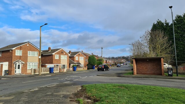
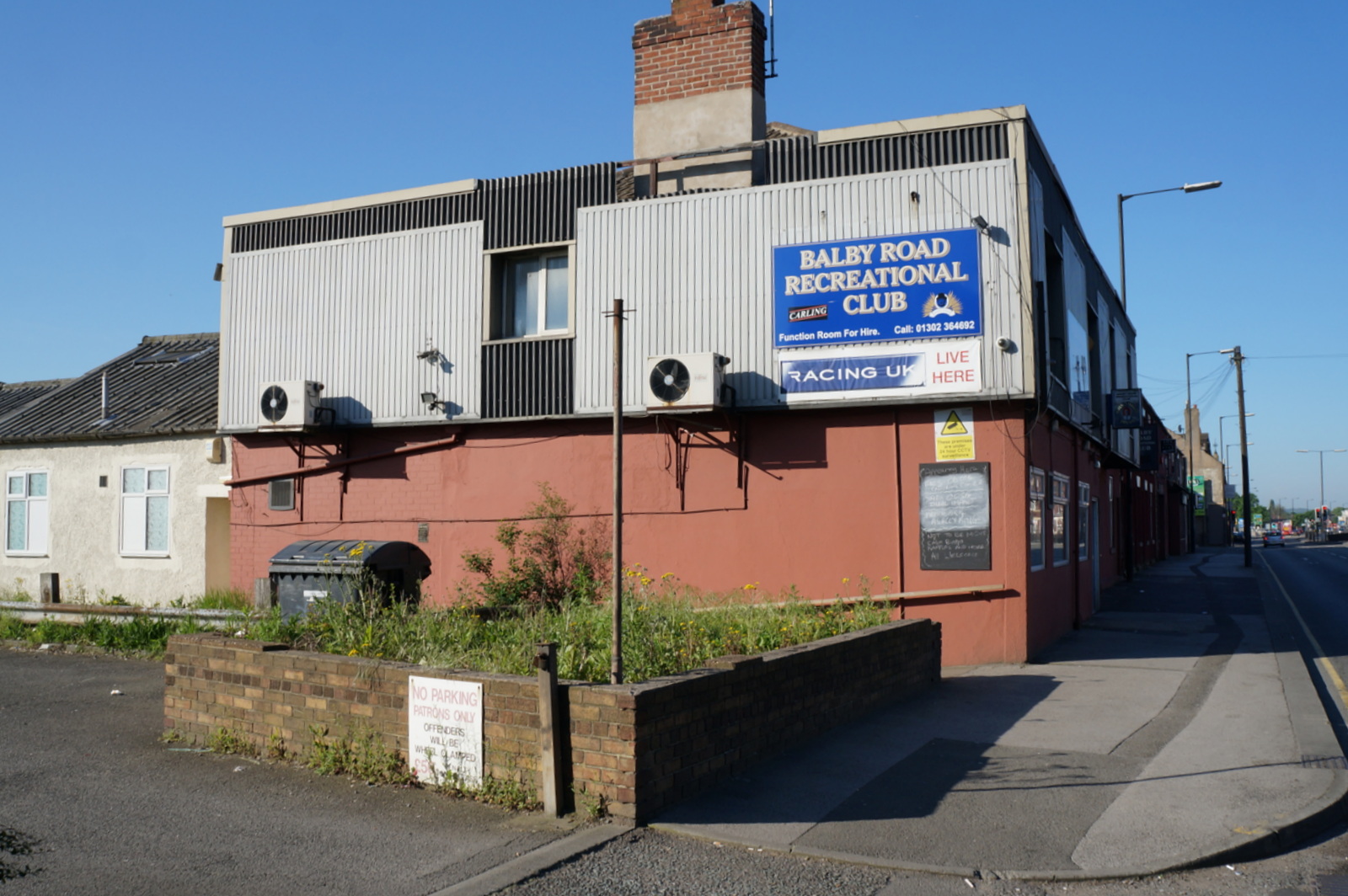
Balby Images
Images are sourced within 2km of 53.505259/-1.148844 or Grid Reference SE5601. Thanks to Geograph Open Source API. All images are credited.


Balby is located at Grid Ref: SE5601 (Lat: 53.505259, Lng: -1.148844)
Division: West Riding
Unitary Authority: Doncaster
Police Authority: South Yorkshire
What 3 Words
///most.leads.oddly. Near Doncaster, South Yorkshire
Nearby Locations
Related Wikis
Balby
Balby is a suburb of Doncaster in South Yorkshire, England. Historically part of the West Riding of Yorkshire, Balby is within the Doncaster Central constituency...

Balby South (ward)
Balby South—consisting of the southern part of the suburb of Balby—is one of 21 electoral wards in the Doncaster district, in the county of South Yorkshire...

Tickhill Road Hospital
The Tickhill Road Hospital is a small hospital at Tickhill Road in Doncaster, South Yorkshire. It is managed by the Rotherham Doncaster and South Humber...

Hexthorpe railway platform
Hexthorpe railway platform was a short, wooden railway platform on the South Yorkshire Railway line about 1.5 miles (2.4 km) west of Doncaster in the area...

Hexthorpe rail accident
The Hexthorpe rail accident occurred on 16 September 1887 at Hexthorpe railway platform some 1.5 miles (2.4 km) west of Doncaster on the South Yorkshire...
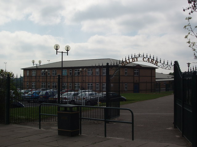
Astrea Academy Woodfields
Astrea Academy Woodfields is a secondary school and sixth form located in the Balby area of Doncaster in the English county of South Yorkshire. The school...
1947 Doncaster rail crash
The 1947 Doncaster rail crash was a fatal rail incident that occurred just south of Doncaster station at Bridge Junction. A train was signalled onto an...
Doncaster Carr rail depot
Doncaster Carr rail depot (also known as Doncaster Train Maintenance Centre) is a railway vehicle maintenance depot located alongside the East Coast Main...
Related Videos
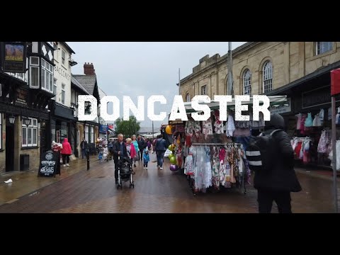
Doncaster 🇬🇧Town Virtual Walking Tour
Doncaster is famous for horse racing. Doncaster is one of the oldest racecourses in the world. It hosts two famous horse races: ...
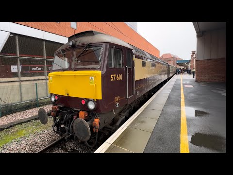
Rail Tour - The Spirit Travel Of Lunch 27/10/2023
railtour #thespiritoftrqvellunch #class57locomotives This rail tour called the spirit of travel lunch listed York to hull via Doncaster as ...
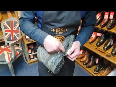
Walking Boot Needs to go to a Specialist
Walking boot repair needs a specialist. For repair quotes please complete form: ...
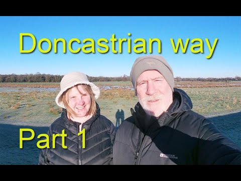
The Doncastrian way..Local walking.
A walk around the old County Borough of Doncaster following a route from the urban fringes to open fields, river banks and green ...
Nearby Amenities
Located within 500m of 53.505259,-1.148844Have you been to Balby?
Leave your review of Balby below (or comments, questions and feedback).