Balcathie

Settlement in Angus

Scotland

Balcathie

View to East Haven The view is taken from the track which leads down to the railway line.  It looks south west towards East Haven, the promontory of Buddon Ness and the distant hills of Fife.
View to East Haven Credit: Val Vannet

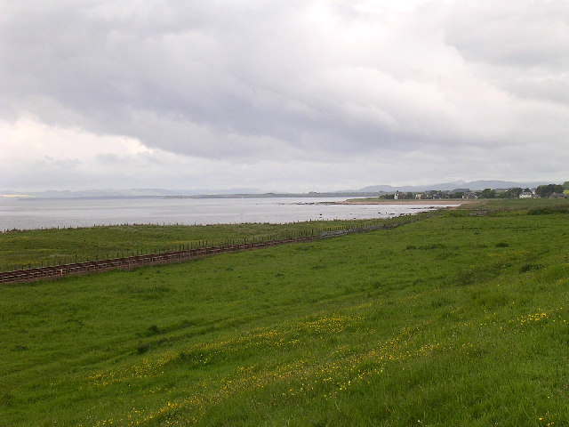
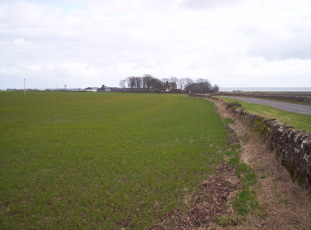
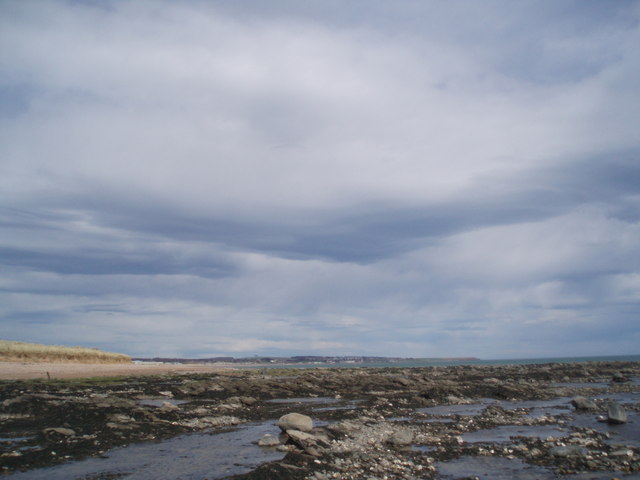
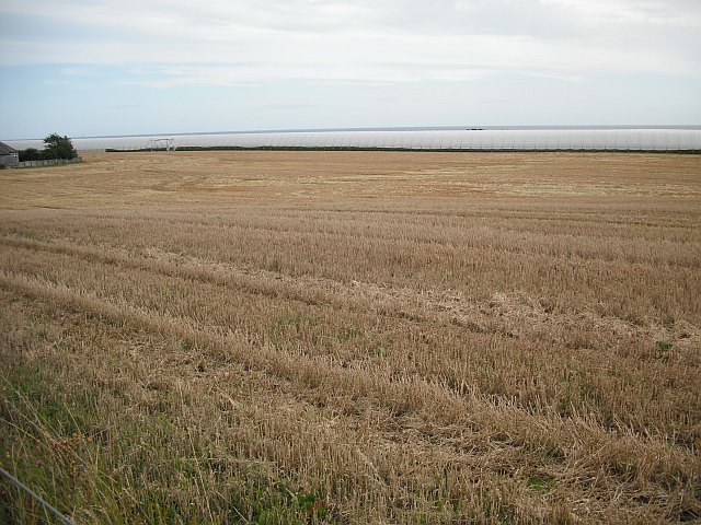
Balcathie is a small village located in the county of Angus, in the eastern part of Scotland. Situated about 4 miles north of the town of Forfar, Balcathie is nestled amidst the picturesque countryside, surrounded by rolling hills, lush green fields, and tranquil farmlands.

The village itself is characterized by its quaint charm and rural atmosphere. It is home to a small population, with predominantly residential properties scattered throughout the area. The houses in Balcathie are a mixture of traditional stone-built cottages, farmhouses, and more modern dwellings.

Although small in size, Balcathie offers a sense of community with its local amenities and services. The village has a primary school, providing education to the younger residents of the area. Additionally, there is a local post office and a small shop, catering to the daily needs of the villagers.

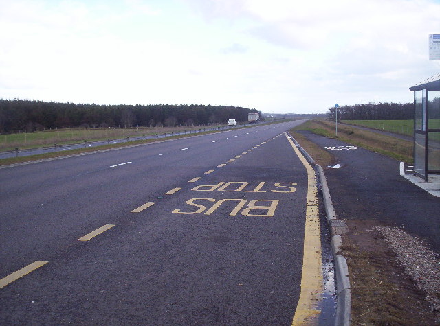
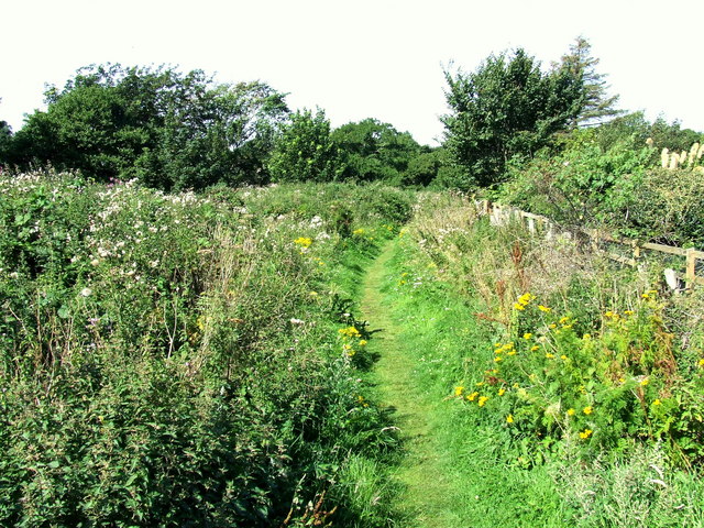
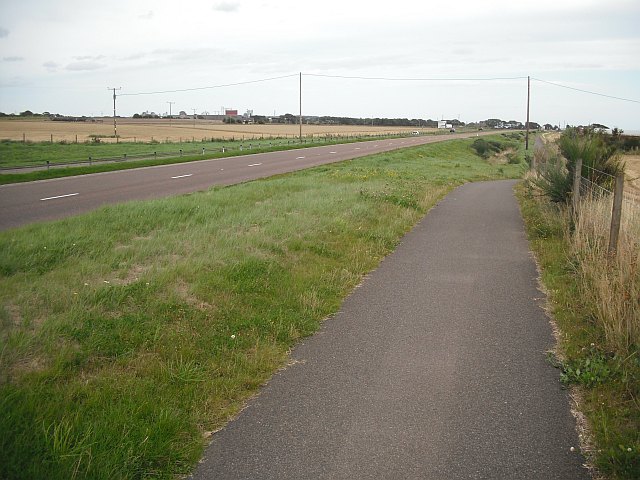
The surrounding countryside provides ample opportunities for outdoor activities and exploration. Residents and visitors can enjoy peaceful walks, cycling routes, and nature trails that lead through the beautiful Angus landscape. The area is particularly known for its stunning views, with panoramic vistas of the nearby Angus Glens and the distant Grampian Mountains.

Overall, Balcathie is a tranquil and idyllic village, offering a peaceful respite from the hustle and bustle of city life. Its beautiful surroundings and community spirit make it a charming place to live or visit for those seeking a rural retreat in Angus, Scotland.

If you have any feedback on the listing, please let us know in the comments section below.
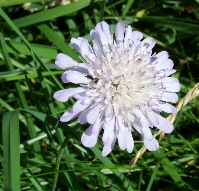
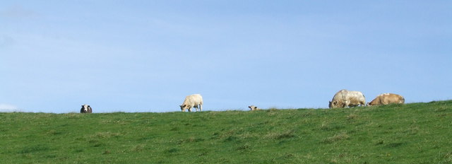
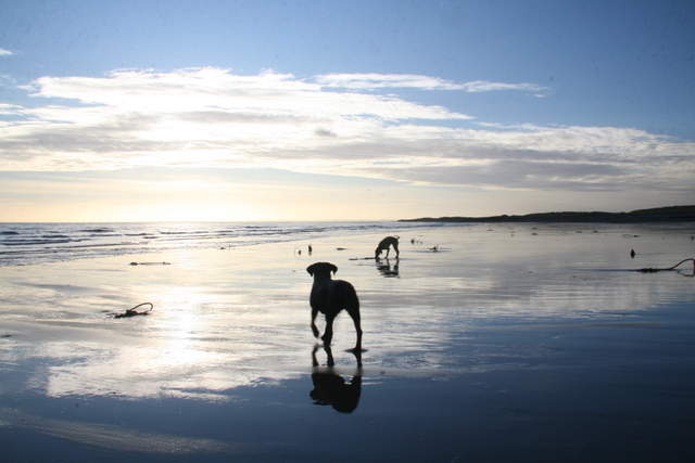
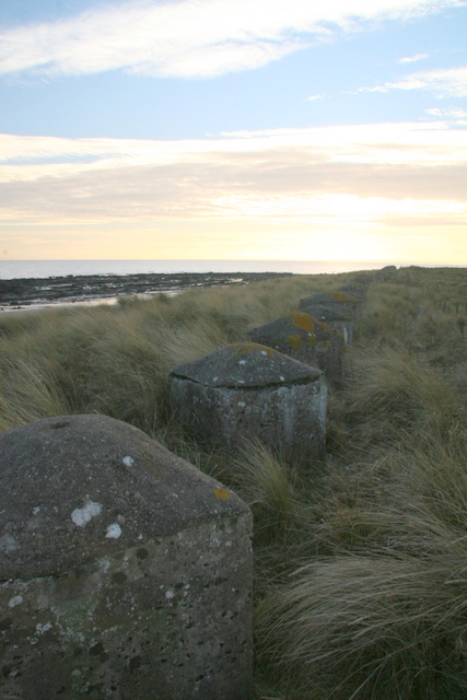
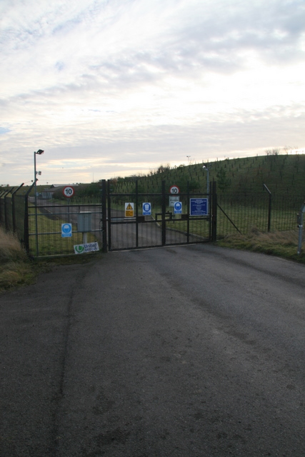
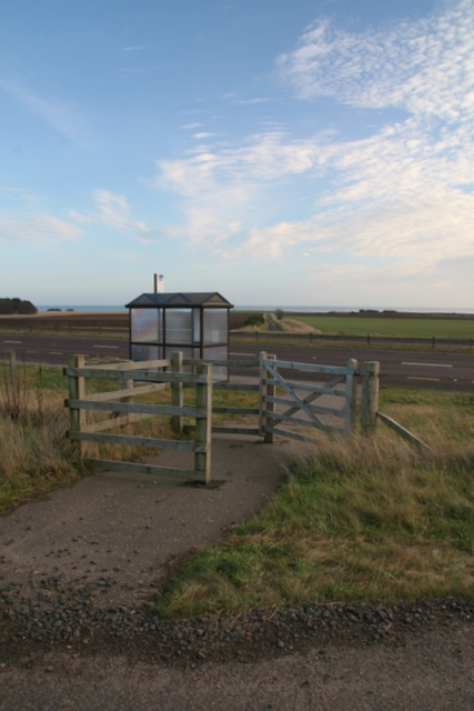
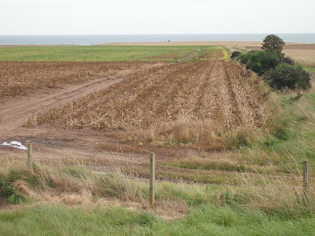
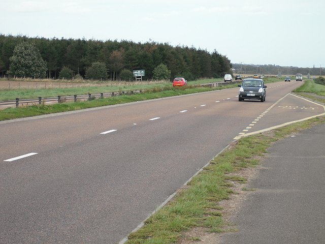
Balcathie Images

Images are sourced within 2km of 56.541289/-2.6520685 or Grid Reference NO6039. Thanks to Geograph Open Source API. All images are credited.

View to East Haven The view is taken from the track which leads down to the railway line.  It looks south west towards East Haven, the promontory of Buddon Ness and the distant hills of Fife.
View to East Haven
The view is taken from the track which leads down to the railway line. It looks south west towards East Haven, the promontory of Buddon Ness and the distant hills of Fife.
The Elliot Water Pictured is the frozen Elliot water which is an abandoned river meander. It is situated in amongst a sand dune system between a railway line and a sandy beach.
The Elliot Water
Pictured is the frozen Elliot water which is an abandoned river meander. It is situated in amongst a sand dune system between a railway line and a sandy beach.
Old Road and East Coast Railway Line This was taken from the level crossing near the golf clubhouse. The old road used to lead to a chemical works which was demolished and the bricks now litter the beach. The railway line is the main east coast line.
Old Road and East Coast Railway Line
This was taken from the level crossing near the golf clubhouse. The old road used to lead to a chemical works which was demolished and the bricks now litter the beach. The railway line is the main east coast line.
Beach near Arbroath Golf Course
Balcathie and Grassy Field
Bus Stop on the New A92 Arbroath to Dundee Dual Carriageway
Looking towards Arbroath The rocks give way to sand. Arbroath harbour and the start of the cliffs at Seaton can be made out in the distance.
Looking towards Arbroath
The rocks give way to sand. Arbroath harbour and the start of the cliffs at Seaton can be made out in the distance.
Elliot Nature Trail The start of the nature trail to Arbirlot. It follows the Elliot Water along the course of an old railway.
Elliot Nature Trail
The start of the nature trail to Arbirlot. It follows the Elliot Water along the course of an old railway.
Scabious At the edge of the path.
Scabious
At the edge of the path.
Cows on the horizon The nature trail cuts across several fields at this point. As you can see they have cows in them.
Cows on the horizon
The nature trail cuts across several fields at this point. As you can see they have cows in them.
Coastline near Elliot
Military coastal defences near Carnoustie
Entrance to watertreatment works
Bus shelter on A92
Bus shelter on A92
Potato field, Nether Kelly The leaves have been killed off by spraying with sulphuric acid prior to harvest.
Potato field, Nether Kelly
The leaves have been killed off by spraying with sulphuric acid prior to harvest.
A92, Three Mile Wood Dundee - Arbroath road, now a dual carriageway.
A92, Three Mile Wood
Dundee - Arbroath road, now a dual carriageway.
Stubble by Balcathie Stubble field beside the A92 with some polytunnels in the background.
Stubble by Balcathie
Stubble field beside the A92 with some polytunnels in the background.
Cycle path beside the A92 Purpose built path beside the newly widened A92.
Cycle path beside the A92
Purpose built path beside the newly widened A92.
Show me another place!

Balcathie is located at Grid Ref: NO6039 (Lat: 56.541289, Lng: -2.6520685)

Unitary Authority: Angus

Police Authority: Tayside

What 3 Words

///ditching.galaxy.seatbelt. Near Arbroath, Angus

Nearby Locations

Balcathie Three Mile Wood

Related Wikis

Inverpeffer

Inverpeffer (Scottish Gaelic: Inbhir Pheofhair, lit. 'Mouth of the shining/beautiful stream') was a hamlet that once existed in Angus, Scotland until around...

RNAS East Haven (HMS Peewit)

Royal Naval Air Station East Haven (RNAS East Haven, also known as HMS Peewit) is a former Royal Navy, Fleet Air Arm station, situated 3 miles (5 km) south...

Arbirlot

Arbirlot (Gaelic: Obar Eilid) is a village in a rural parish of the same name in Angus, Scotland. The current name is usually presumed to be a contraction...

Arbirlot railway station

Arbirlot railway station served the village of Arbirlot in the Scottish county of Angus. The station was served by a branch line, the Carmyllie Railway...

Related Videos

The Final Weeks of KMR

A video made for the Remembrance of Kerr's Miniature Railway as it had it's final countdown to closure of the railway after 85 ...

Nearby Amenities

Located within 500m of 56.541289,-2.6520685
Bus Stop
Mains of Kelly Road End
Naptan AtcoCode: 6490IM2301
Naptan Bearing: E
Naptan CommonName: Mains of Kelly Road End
Naptan Indicator: at Road End
Naptan Landmark: Road End
Naptan NaptanCode: 26426249
Naptan Street: A92
Naptan Verified: no
Source: naptan_import
Lat/Long: 56.5399837/-2.6495651
Bus Stop
Mains of Kelly opp Road End
Naptan AtcoCode: 6490IM2302
Naptan Bearing: W
Naptan CommonName: Mains of Kelly opp Road End
Naptan Indicator: opp Road End
Naptan Landmark: Road End
Naptan NaptanCode: 26426252
Naptan Street: A92
Naptan Verified: no
Source: naptan_import
Lat/Long: 56.5398338/-2.6490259
Mains of Kelly
Place: isolated_dwelling
Lat/Long: 56.5429259/-2.6567253
Power: pole
Lat/Long: 56.5432452/-2.6584178
Power: pole
Lat/Long: 56.5443779/-2.6576427
Power: pole
Lat/Long: 56.5420967/-2.6560011
Power: pole
Lat/Long: 56.5427141/-2.6553568
Power: pole
Lat/Long: 56.5432874/-2.6548207
Power: pole
Lat/Long: 56.5438226/-2.6547299
Power: pole
Lat/Long: 56.5434757/-2.6556682
Power: pole
Lat/Long: 56.5441646/-2.6538608
Power: pole
Lat/Long: 56.5445305/-2.6528966
Power: pole
Lat/Long: 56.5448976/-2.6519432
Power: pole
Lat/Long: 56.5452838/-2.6509336
Power: pole
Lat/Long: 56.5416152/-2.644277
The data included in this document is from www.openstreetmap.org. The data is made available under ODbL.

Have you been to Balcathie?

Leave your review of Balcathie below (or comments, questions and feedback).