Three Mile Wood

Wood, Forest in Angus

Scotland

Three Mile Wood

View to East Haven The view is taken from the track which leads down to the railway line.  It looks south west towards East Haven, the promontory of Buddon Ness and the distant hills of Fife.
View to East Haven Credit: Val Vannet

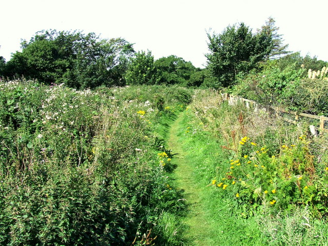
Three Mile Wood, located in Angus, Scotland, is a picturesque woodland that spans over a vast area of approximately three miles. This enchanting forest is known for its natural beauty and diverse range of flora and fauna, making it a popular destination for nature enthusiasts and hikers alike.

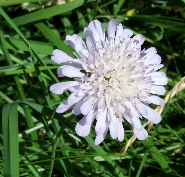
The woodland is primarily composed of a mixture of deciduous and coniferous trees, creating a stunning contrast of colors throughout the seasons. Towering oak, beech, and birch trees dominate the landscape, their branches forming a dense canopy that provides shade and shelter for the multitude of wildlife that call Three Mile Wood their home.

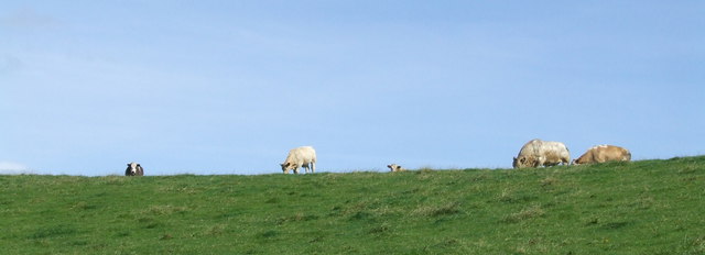
Visitors to the wood can expect to encounter a variety of woodland creatures, including red squirrels, roe deer, and a wide array of bird species. The sounds of chirping birds and rustling leaves create a peaceful and serene atmosphere, making it a perfect escape from the hustle and bustle of everyday life.

Several well-maintained trails wind their way through the wood, allowing visitors to explore its hidden treasures. These paths are suitable for both casual strollers and avid hikers, catering to different levels of fitness and mobility.

For those looking to immerse themselves further in the natural surroundings, there are designated picnic areas and camping spots available, providing an opportunity to spend a night under the stars in this idyllic woodland setting.

Overall, Three Mile Wood in Angus offers a captivating experience for nature lovers, providing a sanctuary of tranquility and an opportunity to connect with the beauty of the Scottish countryside.

If you have any feedback on the listing, please let us know in the comments section below.

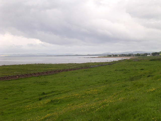
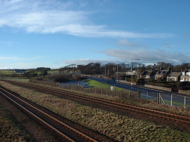
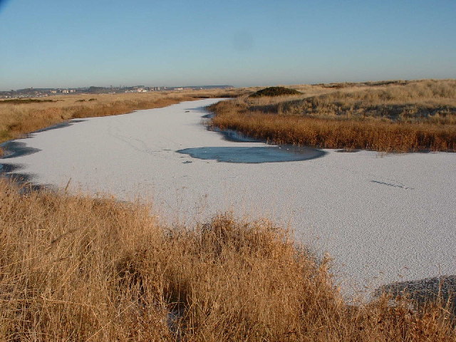
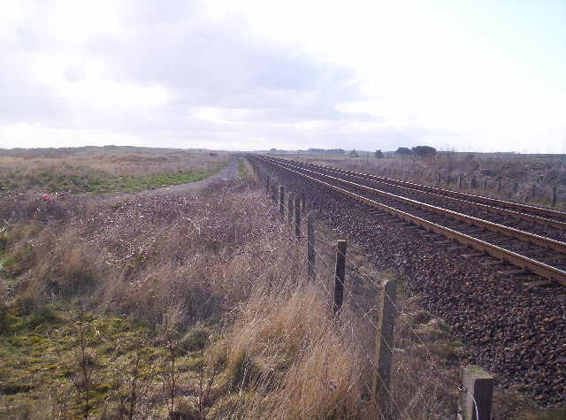
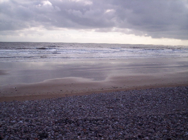
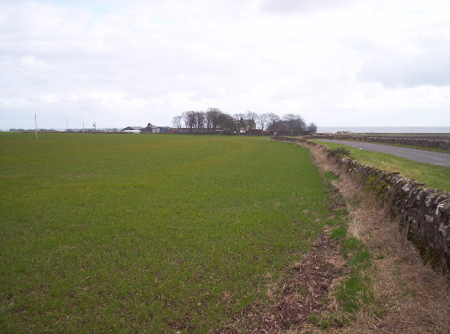
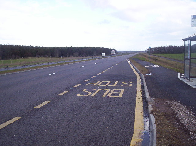
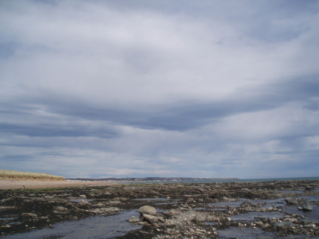
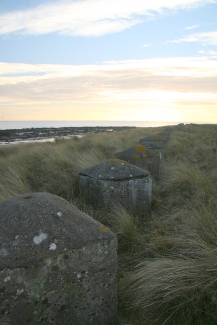
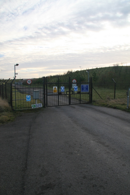
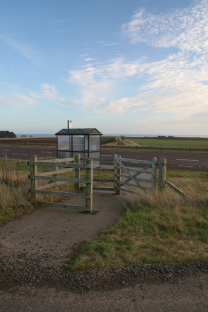
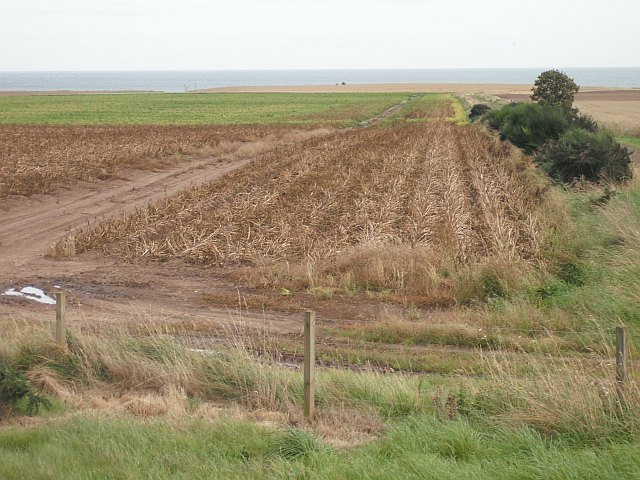
Three Mile Wood Images

Images are sourced within 2km of 56.542628/-2.6485463 or Grid Reference NO6039. Thanks to Geograph Open Source API. All images are credited.

View to East Haven The view is taken from the track which leads down to the railway line.  It looks south west towards East Haven, the promontory of Buddon Ness and the distant hills of Fife.
View to East Haven
The view is taken from the track which leads down to the railway line. It looks south west towards East Haven, the promontory of Buddon Ness and the distant hills of Fife.
Elliot Junction Taken from the footbridge this is the old Elliot Junction where the Carmylie Pilot used to meet the Dundee-Arbroath line. The Platform was once where the car park is and the line used to cross the road from the white gate in the centre of the picture.
Elliot Junction
Taken from the footbridge this is the old Elliot Junction where the Carmylie Pilot used to meet the Dundee-Arbroath line. The Platform was once where the car park is and the line used to cross the road from the white gate in the centre of the picture.
The Elliot Water Pictured is the frozen Elliot water which is an abandoned river meander. It is situated in amongst a sand dune system between a railway line and a sandy beach.
The Elliot Water
Pictured is the frozen Elliot water which is an abandoned river meander. It is situated in amongst a sand dune system between a railway line and a sandy beach.
Old Road and East Coast Railway Line This was taken from the level crossing near the golf clubhouse. The old road used to lead to a chemical works which was demolished and the bricks now litter the beach. The railway line is the main east coast line.
Old Road and East Coast Railway Line
This was taken from the level crossing near the golf clubhouse. The old road used to lead to a chemical works which was demolished and the bricks now litter the beach. The railway line is the main east coast line.
Beach near Arbroath Golf Course
Balcathie and Grassy Field
Bus Stop on the New A92 Arbroath to Dundee Dual Carriageway
Looking towards Arbroath The rocks give way to sand. Arbroath harbour and the start of the cliffs at Seaton can be made out in the distance.
Looking towards Arbroath
The rocks give way to sand. Arbroath harbour and the start of the cliffs at Seaton can be made out in the distance.
Elliot Nature Trail The start of the nature trail to Arbirlot. It follows the Elliot Water along the course of an old railway.
Elliot Nature Trail
The start of the nature trail to Arbirlot. It follows the Elliot Water along the course of an old railway.
Scabious At the edge of the path.
Scabious
At the edge of the path.
Cows on the horizon The nature trail cuts across several fields at this point. As you can see they have cows in them.
Cows on the horizon
The nature trail cuts across several fields at this point. As you can see they have cows in them.
Footbridge over railway near Elliot
Coastline near Elliot
Military coastal defences near Carnoustie
Entrance to watertreatment works
Bus shelter on A92
Bus shelter on A92
Potato field, Nether Kelly The leaves have been killed off by spraying with sulphuric acid prior to harvest.
Potato field, Nether Kelly
The leaves have been killed off by spraying with sulphuric acid prior to harvest.
A92, Three Mile Wood Dundee - Arbroath road, now a dual carriageway.
A92, Three Mile Wood
Dundee - Arbroath road, now a dual carriageway.
Show me another place!

Three Mile Wood is located at Grid Ref: NO6039 (Lat: 56.542628, Lng: -2.6485463)

Unitary Authority: Angus

Police Authority: Tayside

What 3 Words

///fruitcake.face.dollar. Near Arbroath, Angus

Nearby Locations

Balcathie Three Mile Wood

Related Wikis

Inverpeffer

Inverpeffer (Scottish Gaelic: Inbhir Pheofhair, lit. 'Mouth of the shining/beautiful stream') was a hamlet that once existed in Angus, Scotland until around...

Arbirlot railway station

Arbirlot railway station served the village of Arbirlot in the Scottish county of Angus. The station was served by a branch line, the Carmyllie Railway...

Arbirlot

Arbirlot (Gaelic: Obar Eilid) is a village in a rural parish of the same name in Angus, Scotland. The current name is usually presumed to be a contraction...

Elliot Water

The Elliot Water is a minor river in Angus, Scotland. The Elliot rises near West Hills in Carmyllie and flows through the parish and village of Arbirlot...

Related Videos

The Final Weeks of KMR

A video made for the Remembrance of Kerr's Miniature Railway as it had it's final countdown to closure of the railway after 85 ...

Nearby Amenities

Located within 500m of 56.542628,-2.6485463
Bus Stop
Mains of Kelly Road End
Naptan AtcoCode: 6490IM2301
Naptan Bearing: E
Naptan CommonName: Mains of Kelly Road End
Naptan Indicator: at Road End
Naptan Landmark: Road End
Naptan NaptanCode: 26426249
Naptan Street: A92
Naptan Verified: no
Source: naptan_import
Lat/Long: 56.5399837/-2.6495651
Bus Stop
Mains of Kelly opp Road End
Naptan AtcoCode: 6490IM2302
Naptan Bearing: W
Naptan CommonName: Mains of Kelly opp Road End
Naptan Indicator: opp Road End
Naptan Landmark: Road End
Naptan NaptanCode: 26426252
Naptan Street: A92
Naptan Verified: no
Source: naptan_import
Lat/Long: 56.5398338/-2.6490259
Power: pole
Lat/Long: 56.5420967/-2.6560011
Power: pole
Lat/Long: 56.5427141/-2.6553568
Power: pole
Lat/Long: 56.5432874/-2.6548207
Power: pole
Lat/Long: 56.5438226/-2.6547299
Power: pole
Lat/Long: 56.5434757/-2.6556682
Power: pole
Lat/Long: 56.5441646/-2.6538608
Power: pole
Lat/Long: 56.5445305/-2.6528966
Power: pole
Lat/Long: 56.5448976/-2.6519432
Power: pole
Lat/Long: 56.5452838/-2.6509336
Power: pole
Lat/Long: 56.5457927/-2.649965
Power: pole
Lat/Long: 56.5462849/-2.6490138
Power: pole
Lat/Long: 56.5467914/-2.6480474
Power: pole
Lat/Long: 56.5424865/-2.6409196
Power: pole
Lat/Long: 56.542198/-2.6420351
Power: pole
Lat/Long: 56.5419/-2.6431853
Power: pole
Lat/Long: 56.5416152/-2.644277
The data included in this document is from www.openstreetmap.org. The data is made available under ODbL.

Have you been to Three Mile Wood?

Leave your review of Three Mile Wood below (or comments, questions and feedback).