Harvest Slade
Downs, Moorland in Hampshire New Forest
England
Harvest Slade
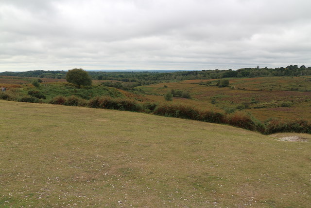
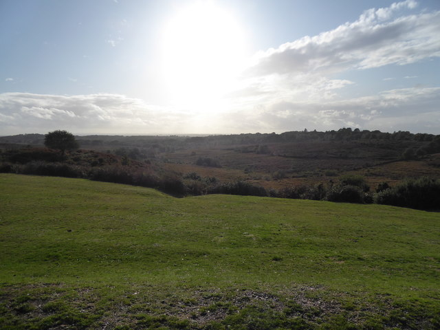
Harvest Slade is a picturesque area located in Hampshire, England. Known for its stunning natural beauty, it encompasses both downs and moorland landscapes, providing a diverse and unique environment.
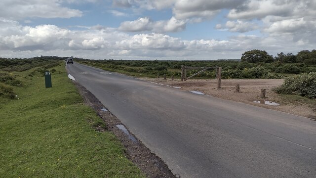
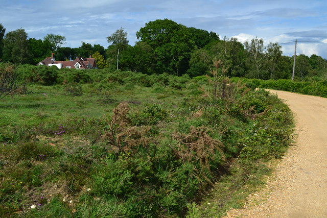
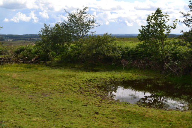
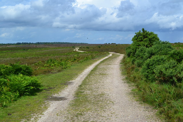
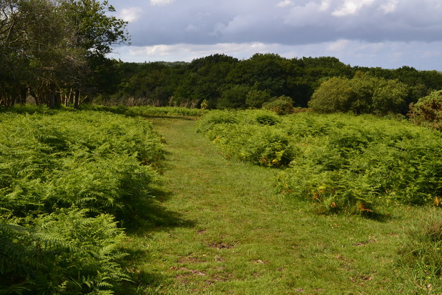
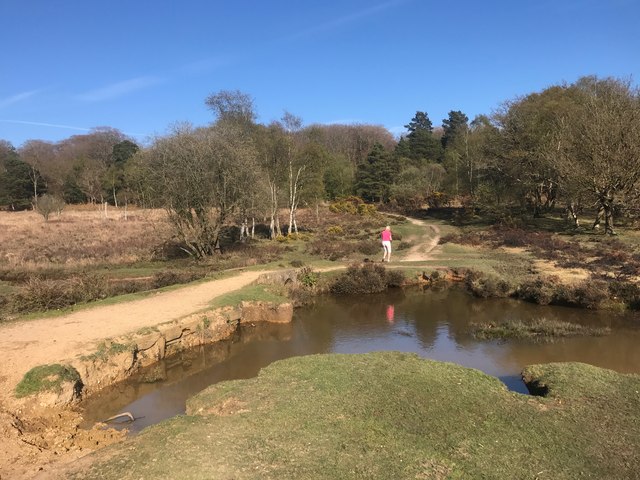
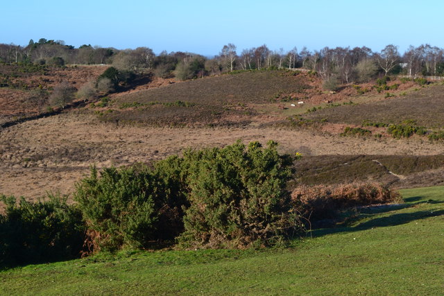
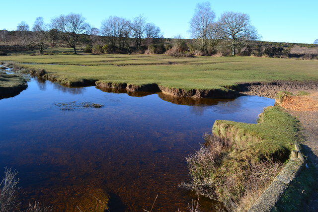
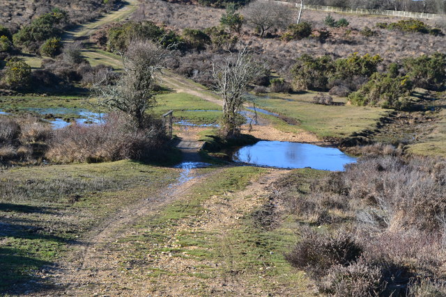
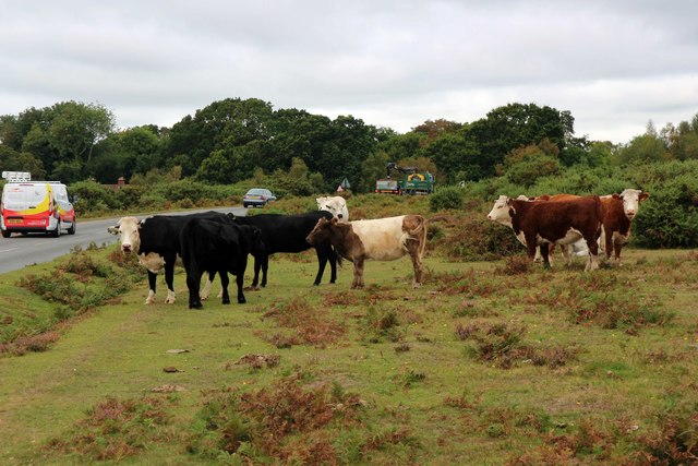
The downs at Harvest Slade are characterized by rolling hills and expansive meadows. These grassy slopes are often dotted with wildflowers, offering a vibrant display of colors during the spring and summer months. The downs also feature an abundance of wildlife, including rabbits, foxes, and various bird species, making it a popular spot for nature enthusiasts and birdwatchers.
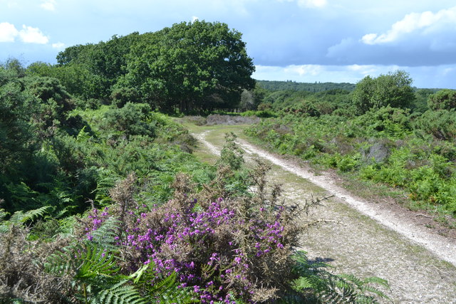
Adjacent to the downs, the moorland at Harvest Slade offers a contrasting landscape. Here, visitors can find vast expanses of heather and gorse, creating a purple and yellow carpet across the moors. The moorland is also home to several species of insects and reptiles, such as adders and dragonflies.
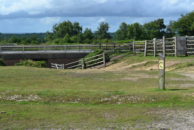
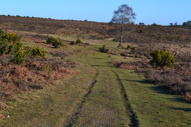
The area is a haven for outdoor activities, with numerous walking and hiking trails crisscrossing the downs and moorland. These trails provide visitors with opportunities to explore the stunning scenery and enjoy panoramic views of the surrounding countryside. Additionally, Harvest Slade is a popular destination for picnicking, as there are many designated areas with picnic benches and facilities.
Harvest Slade is easily accessible, with ample parking and well-maintained paths. It offers a peaceful and tranquil escape from the hustle and bustle of everyday life, allowing visitors to immerse themselves in the beauty of nature. Whether it's for a leisurely stroll, a family day out, or a wildlife spotting adventure, Harvest Slade provides a truly enchanting experience for all who visit.
If you have any feedback on the listing, please let us know in the comments section below.
Harvest Slade Images
Images are sourced within 2km of 50.856577/-1.7044849 or Grid Reference SU2006. Thanks to Geograph Open Source API. All images are credited.
Harvest Slade is located at Grid Ref: SU2006 (Lat: 50.856577, Lng: -1.7044849)
Administrative County: Hampshire
District: New Forest
Police Authority: Hampshire
What 3 Words
///reserving.inflame.batches. Near Burley, Hampshire
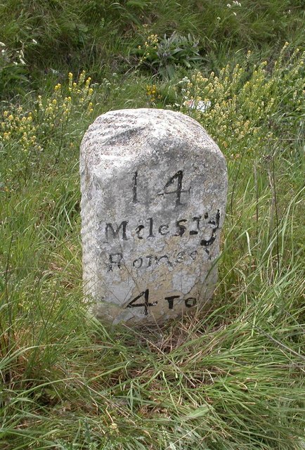
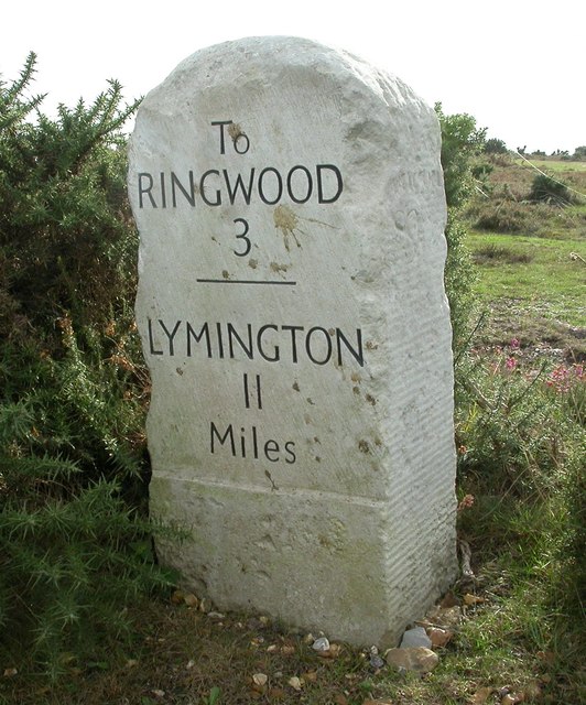
Nearby Locations
Related Wikis

Picket Post
Picket Post is a road junction and service area in the New Forest National Park of Hampshire, England. It lies on the A31 road. == Facilities == Picket...

Castle Hill, Hampshire
Castle Hill is the site of an Iron Age univallate hillfort located in the civil parish of Burley in the New Forest national park in Hampshire, England...

Shobley
Shobley is a small hamlet in the New Forest National Park of Hampshire, England. Its nearest town is Ringwood, which lies approximately 1.8 miles (2.9...
Linford, Hampshire
Linford is a hamlet in the New Forest district of Hampshire, England, close to the market town of Ringwood. It is about 1.5 miles east of Ringwood. It...
Picket Hill
Picket Hill is a hamlet next to Picket Post in the New Forest National Park of Hampshire, England. It lies on the outskirts of Ringwood.
Forest Corner
Forest Corner is a village in the New Forest National Park of Hampshire, England. It is on the A31 road travelling between Southampton and Bournemouth...

Burley, Hampshire
Burley is a village and civil parish in the New Forest, Hampshire, England. It has ancient origins and is now somewhat tourist-orientated. == The village... ==

Linwood, Hampshire
Linwood is a hamlet in the New Forest National Park of Hampshire, England. Its nearest town is Ringwood, which lies approximately 4.2 miles (5.9 km) south...
Related Videos

Trip to Picket Post Car Park View Point - New forest national park | Vlog #136
tripcivlog #newforest #newforestnationalpark #picketpostcarpark Holiday Packages - All Over India ----------------------- Mail yout ...

Family adventures - Blackwater and Bolderwood #newforest
On this Family adventure we went to Blackwater and Bolderwood in the New Forest. Both walks are short and very easy for the ...
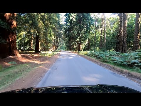
Rhinefield & Bolderwood Arboretum Ornamental Drive (New Forest)
Relaxing journey through woodland on the Rhinefield and Bolderwood Arboretum Ornamental Drive route in the New Forest, ...

2019 SsangYong Tivoli 1.6 E-XGI Ultimate Walkaround
In this video, I travel to the New Forest to walk around a 2019 SsangYong Tivoli Ultimate kindly leant to me for filming by Joseph ...
Nearby Amenities
Located within 500m of 50.856577,-1.7044849Have you been to Harvest Slade?
Leave your review of Harvest Slade below (or comments, questions and feedback).