Magpie Green
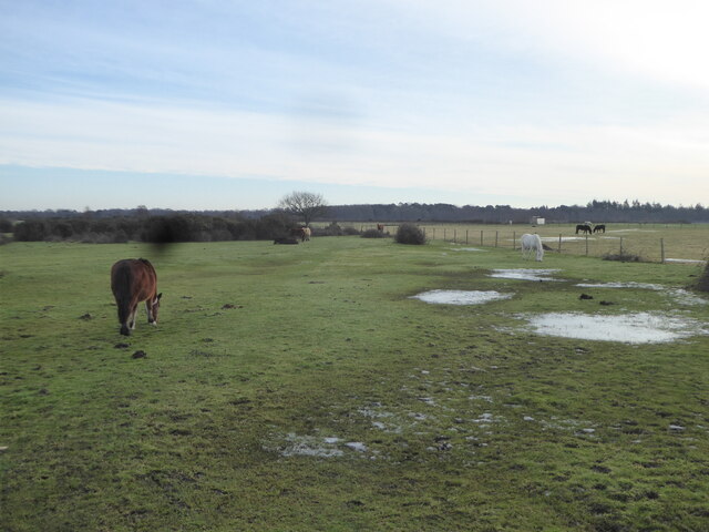
Downs, Moorland in Hampshire New Forest
England
Magpie Green
Magpie Green is a picturesque area located in Hampshire, England. Nestled amidst the beautiful countryside, it is known for its stunning downs and moorland landscapes. The area is a haven for nature enthusiasts and offers a wide range of outdoor activities.
The downs of Magpie Green are characterized by rolling hills and expansive meadows. They provide a serene setting for hiking, picnicking, and enjoying panoramic views of the surrounding countryside. The rich diversity of flora and fauna in the downs makes it an ideal spot for birdwatching and nature photography.
Adjacent to the downs, the moorland of Magpie Green offers a different experience altogether. With its rugged terrain and heather-covered hills, it feels like a world apart. Moorland walks and hikes are popular here, and visitors can immerse themselves in the tranquility of the open spaces.
Magpie Green is also home to several historical landmarks. Ruins of old cottages and farmhouses can be found scattered across the area, providing glimpses into the region's past. Additionally, there are ancient burial mounds and stone circles that add an air of mystery to the landscape.
For those seeking a peaceful retreat away from the hustle and bustle of city life, Magpie Green in Hampshire is a perfect destination. Its downs and moorland offer a tranquil escape where visitors can connect with nature and enjoy the beauty of the English countryside.
If you have any feedback on the listing, please let us know in the comments section below.
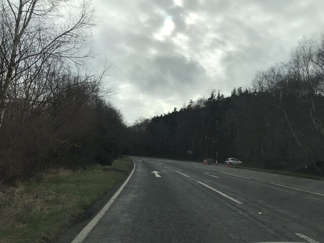
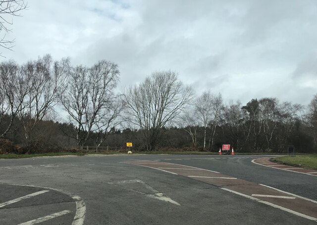
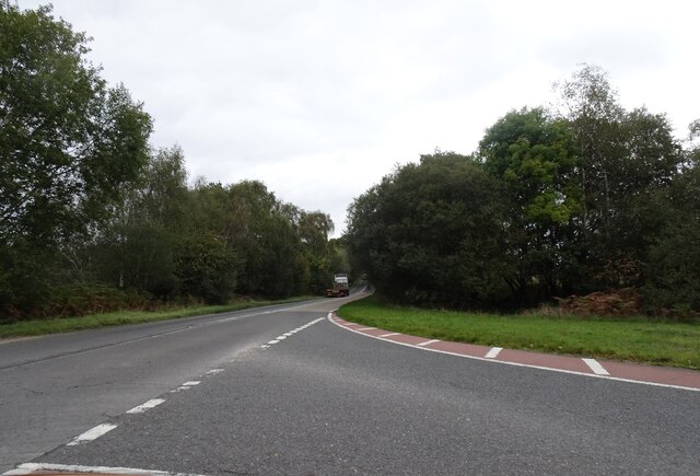
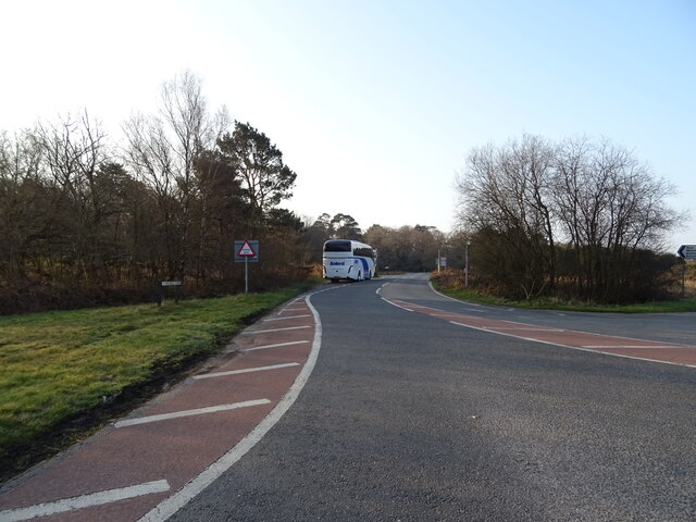
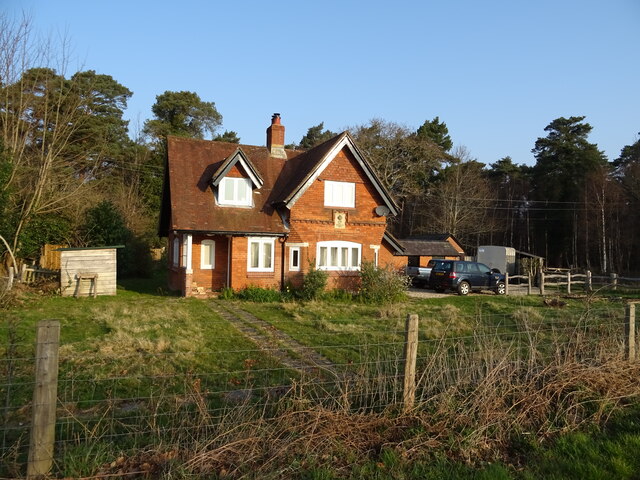
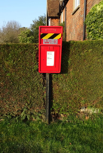
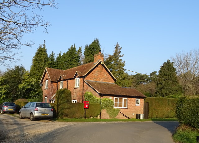
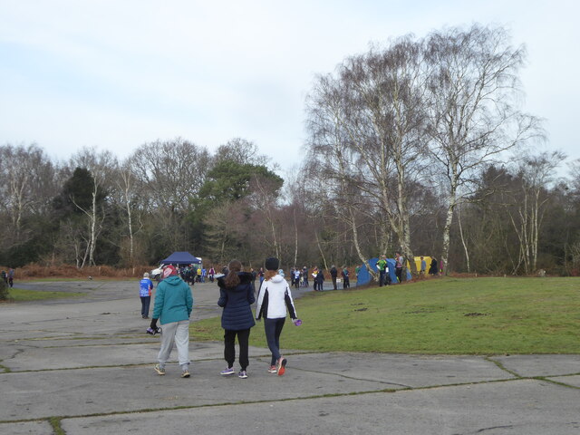
Magpie Green Images
Images are sourced within 2km of 50.799495/-1.7052988 or Grid Reference SU2000. Thanks to Geograph Open Source API. All images are credited.


Magpie Green is located at Grid Ref: SU2000 (Lat: 50.799495, Lng: -1.7052988)
Administrative County: Hampshire
District: New Forest
Police Authority: Hampshire
What 3 Words
///coins.tabs.lower. Near Burley, Hampshire
Nearby Locations
Related Wikis
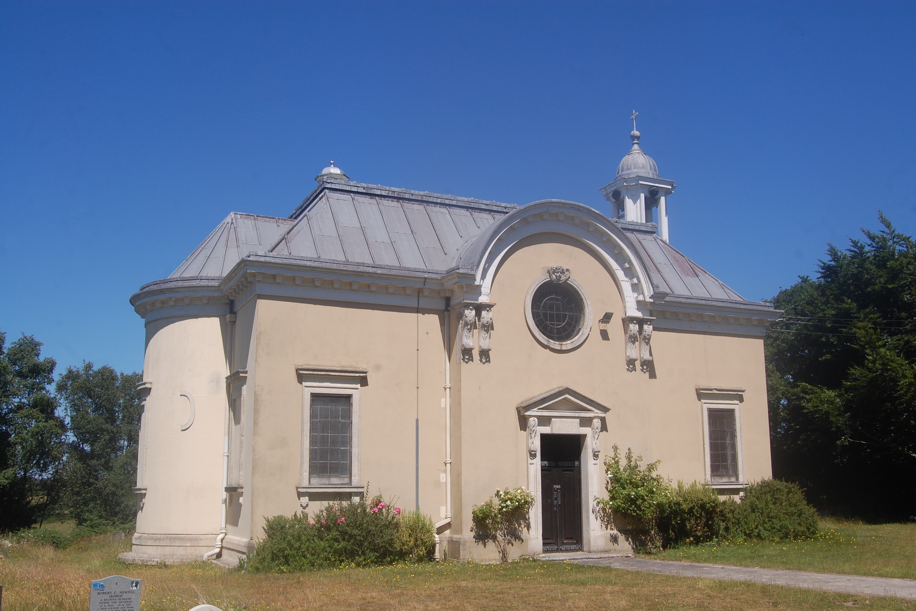
All Saints' Church, Thorney Hill
All Saints' Church is a Church of England church in Thorney Hill, Hampshire, England. It was built in 1905–06 and has been a Grade I listed building since...

RAF Holmsley South
Royal Air Force Holmsley South or more simply RAF Holmsley South is a former Royal Air Force station in Hampshire, England. The airfield is located approximately...

Avon Tyrrell House
Avon Tyrrell is an historic manor within the parish of Sopley, Hampshire. It is situated within the New Forest, near Christchurch. The present manor house...

Holmsley railway station
Holmsley is a closed railway station in the county of Hampshire which served rural settlements in the New Forest. == History == The station was opened...
Nearby Amenities
Located within 500m of 50.799495,-1.7052988Have you been to Magpie Green?
Leave your review of Magpie Green below (or comments, questions and feedback).