Netherwood Heath

Downs, Moorland in Warwickshire Warwick

England

Netherwood Heath

Bakehouse Lane, Chadwick End From Birmingham Road
Bakehouse Lane, Chadwick End Credit: David Howard

Netherwood Heath is a picturesque area located in Warwickshire, England. It is a unique and diverse landscape consisting of downs and moorland, offering a stunning natural beauty to visitors.

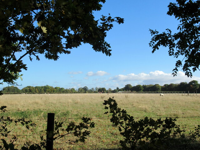
The downs of Netherwood Heath are characterized by their rolling hills and expansive grasslands. The area boasts a rich variety of plant species, including wildflowers such as heather, gorse, and bracken. These downs provide an ideal habitat for various bird species, making it a popular destination for birdwatchers. Visitors can often spot species such as skylarks, meadow pipits, and kestrels soaring through the skies.

The moorland of Netherwood Heath offers a different landscape altogether. With its open expanses and rugged terrain, it presents a more untamed and wild environment. The moors are home to a range of wildlife, including rabbits, foxes, and even the occasional deer. The area is also known for its peat bogs, which are an important ecosystem supporting unique plant species such as sphagnum moss and cotton grass.

Netherwood Heath is a popular destination for outdoor enthusiasts and nature lovers alike. Its extensive network of walking trails and bridleways allows visitors to explore the area at their own pace. Whether it's a leisurely stroll through the downs or a more challenging hike across the moorland, there is something for everyone to enjoy.

Overall, Netherwood Heath in Warwickshire offers a captivating blend of downs and moorland, providing a diverse and captivating landscape for visitors to discover and appreciate the natural beauty of the region.

If you have any feedback on the listing, please let us know in the comments section below.

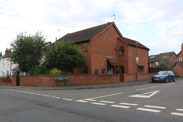
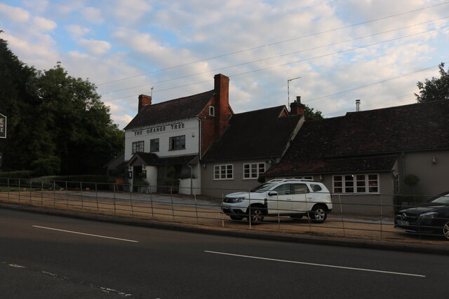
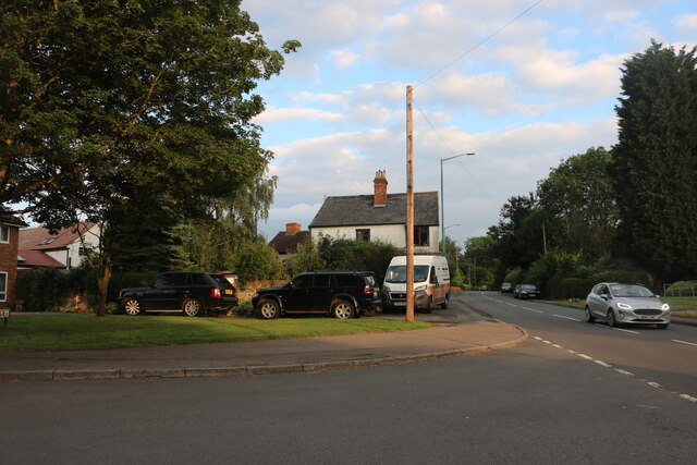
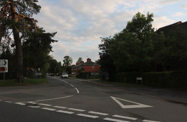
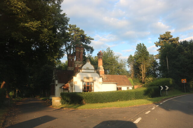
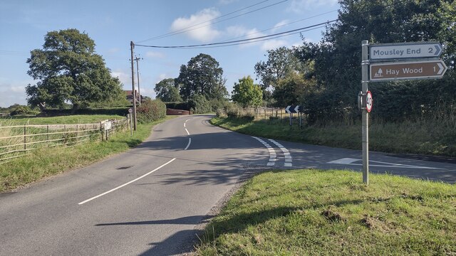
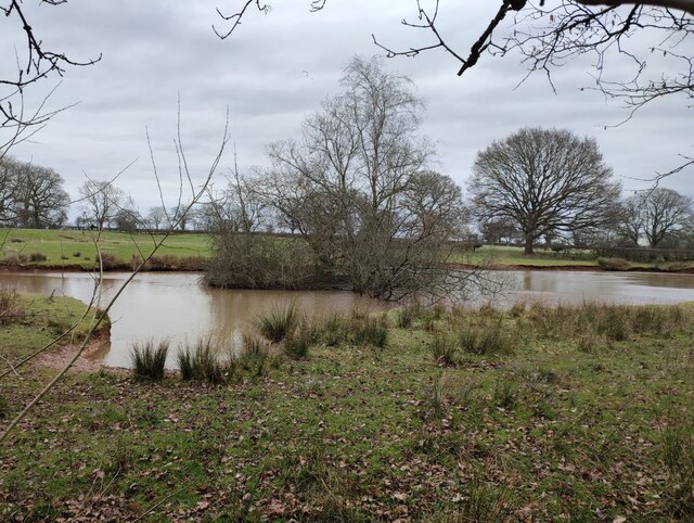
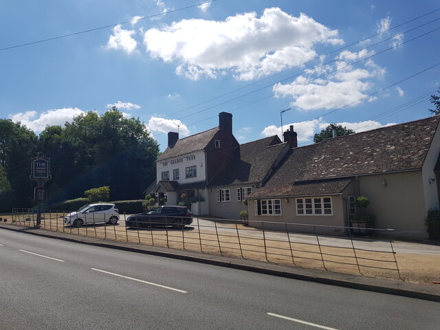
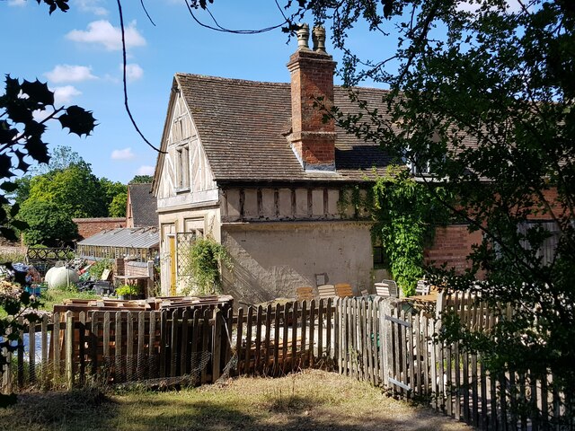
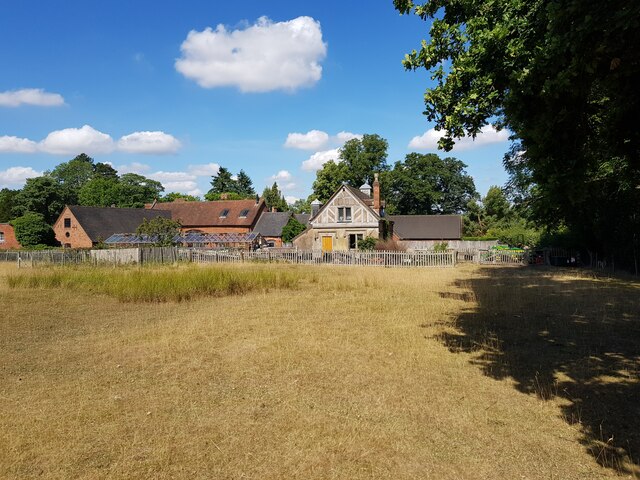
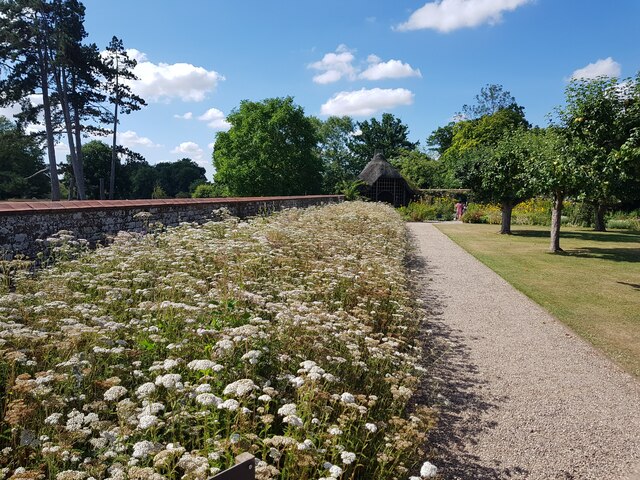
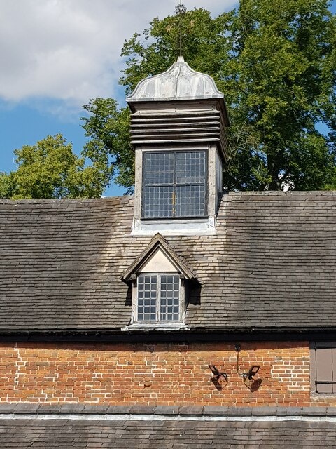
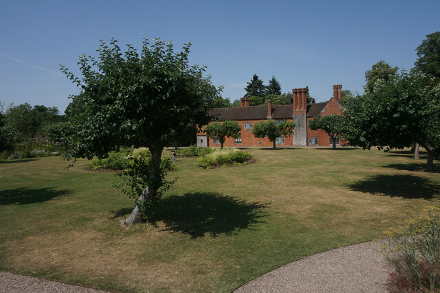
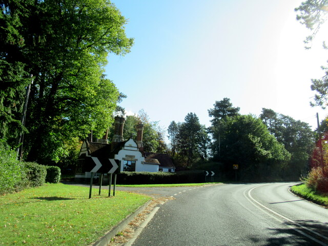
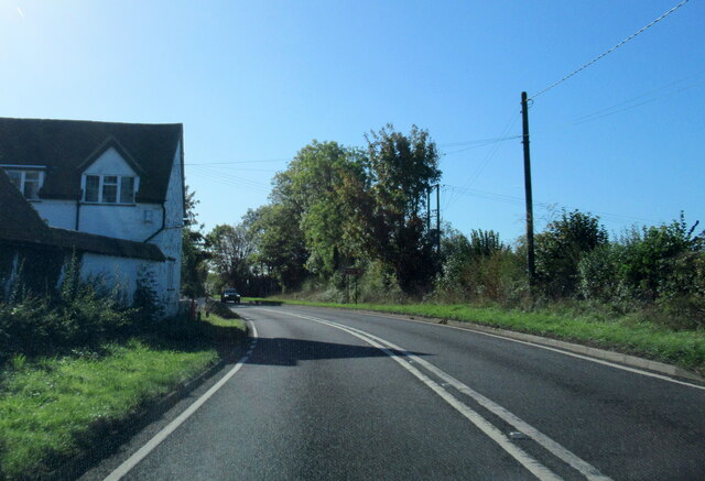
Netherwood Heath Images

Images are sourced within 2km of 52.357237/-1.7147769 or Grid Reference SP1973. Thanks to Geograph Open Source API. All images are credited.

Bakehouse Lane, Chadwick End From Birmingham Road
Bakehouse Lane, Chadwick End
From Birmingham Road
The Orange Tree, Chadwick End
Warwick Road, Chadwick End
Rising Lane, Baddesley Clinton
The lodge at Chadwick Manor
Rising Lane Rising Lane passing the turn to Mousley End
Rising Lane
Rising Lane passing the turn to Mousley End
Pond on the edge of Hay Wood
The Orange Tree, Chadwick End
The Cottage, Baddesley Clinton
Cottage and barn, Baddesley Clinton
Wildflowers in the walled garden, Baddesley Clinton This flower bed used to be full of Dahlias <a href="https://www.geograph.org.uk/photo/4132107">SP1971 : Baddesley Clinton Garden</a> but pests in the soil has made it impossible to grow them. Attempts to convert to natural flowers is proving problematic with one species dominating.
Wildflowers in the walled garden, Baddesley Clinton
This flower bed used to be full of Dahlias SP1971 : Baddesley Clinton Garden but pests in the soil has made it impossible to grow them. Attempts to convert to natural flowers is proving problematic with one species dominating.
Baddesley Clinton stables upper windows On the other side of the turret is a clock that needs restoration.
Baddesley Clinton stables upper windows
On the other side of the turret is a clock that needs restoration.
Lawn at Baddesley Clinton The lawn at this National Trust property is suffering a bit in the hot and dry weather.
Lawn at Baddesley Clinton
The lawn at this National Trust property is suffering a bit in the hot and dry weather.
The A4141 passing the entrance to Chadwick Manor
The A4141 at Arbour Tree Farm
Bromes Park Baddesley Clinton
Pots in the Yard Ornamental pots for sale outside the National Trust shop at Baddesley Clinton.
Pots in the Yard
Ornamental pots for sale outside the National Trust shop at Baddesley Clinton.
Business Park Rosemary Court, Chadwick End Just as I was taking this photo of a small business park on Old Green Lane, a stoat ran across the middle of the picture. It can just about be seen in front of the tree.
Business Park Rosemary Court, Chadwick End
Just as I was taking this photo of a small business park on Old Green Lane, a stoat ran across the middle of the picture. It can just about be seen in front of the tree.
Show me another place!

Netherwood Heath is located at Grid Ref: SP1973 (Lat: 52.357237, Lng: -1.7147769)

Administrative County: Warwickshire

District: Warwick

Police Authority: Warwickshire

What 3 Words

///install.celebrate.wonderfully. Near Knowle, West Midlands

Related Wikis

Chadwick End

Chadwick End is a small village which straddles the border of Warwickshire and the West Midlands Metropolitan Borough of Solihull, situated 3 miles (5...

Baddesley Clinton (village)

Baddesley Clinton is a village and civil parish in Warwickshire, England, about 5+1⁄2 miles (9 km) southeast of Solihull. The village has Anglo-Saxon origins...

Lapworth railway station

Lapworth railway station serves the village of Kingswood, Warwickshire, near the village of Lapworth from which it takes its name. It has two platforms...

Baddesley Clinton

Baddesley Clinton (grid reference SP199714) is a moated manor house, about 8 miles (13 km) north-west of the town of Warwick, in the village of Baddesley...

Kingswood, Warwickshire

Kingswood is an area in the civil parishes of Lapworth and Rowington in Warwick District, Warwickshire, England. It forms the main residential area of...

Packwood House

Packwood House is a timber-framed Tudor manor house in Packwood on the Solihull border near Lapworth, Warwickshire. Owned by the National Trust since...

Packwood, England

Packwood is a medieval settlement and former civil parish of 1760 acres, now in the counties of the West Midlands and Warwickshire, England. In 1194 the...

Kingswood Junction

Kingswood Junction (grid reference SP185709) is a canal junction where the Stratford-upon-Avon Canal meets the Grand Union Canal at Kingswood, Warwickshire...

Nearby Amenities

Located within 500m of 52.357237,-1.7147769
Barrier: kissing_gate
Lat/Long: 52.3561727/-1.7207248
Power: tower
Source: bing
Lat/Long: 52.3561325/-1.7144118
Power: tower
Source: bing
Lat/Long: 52.3592078/-1.713907
Power: tower
Source: bing
Lat/Long: 52.3534892/-1.7149284
Barrier: kissing_gate
Lat/Long: 52.3591436/-1.7136815
Barrier: kissing_gate
Lat/Long: 52.3592612/-1.7204508
Barrier: kissing_gate
Lat/Long: 52.3576911/-1.7094797
Power: pole
Source: bing
Lat/Long: 52.3528263/-1.7138913
Power: pole
Source: bing
Lat/Long: 52.3532981/-1.7153129
Power: pole
Source: bing
Lat/Long: 52.3540124/-1.7155114
Power: pole
Source: bing
Lat/Long: 52.3546612/-1.7156911
Power: pole
Source: bing
Lat/Long: 52.3553328/-1.7158735
Power: pole
Source: bing
Lat/Long: 52.3586304/-1.7207605
Power: pole
Source: bing
Lat/Long: 52.3586975/-1.7193711
Power: pole
Source: bing
Lat/Long: 52.3611562/-1.7174426
Power: pole
Source: bing
Lat/Long: 52.3604011/-1.7173138
Power: pole
Source: bing
Lat/Long: 52.3596149/-1.7170993
Power: pole
Source: bing
Lat/Long: 52.3588761/-1.7169142
Power: pole
Source: bing
Lat/Long: 52.3580489/-1.7166513
Power: pole
Source: bing
Lat/Long: 52.3570431/-1.7163509
Barrier: kissing_gate
Lat/Long: 52.3554549/-1.7206458
Power: pole
Source: bing
Lat/Long: 52.3568481/-1.7120366
Power: pole
Source: bing
Lat/Long: 52.3566737/-1.7127608
Power: pole
Source: bing
Lat/Long: 52.3565123/-1.7136459
Power: pole
Source: bing
Lat/Long: 52.3562797/-1.7148113
Power: pole
Source: bing
Lat/Long: 52.356025/-1.7160814
Power: pole
Source: bing
Lat/Long: 52.3558349/-1.7170094
Power: pole
Source: bing
Lat/Long: 52.3556351/-1.7179321
Power: pole
Source: bing
Lat/Long: 52.3555065/-1.7186442
Power: pole
Source: bing
Lat/Long: 52.3553828/-1.7200591
Power: pole
Source: bing
Lat/Long: 52.3575411/-1.7086583
Power: pole
Ref: 720062
Source: wpd_open_data
Transformer: distribution
Lat/Long: 52.3573379/-1.7096722
Power: pole
Source: bing
Lat/Long: 52.357084/-1.7109811
The data included in this document is from www.openstreetmap.org. The data is made available under ODbL.

Have you been to Netherwood Heath?

Leave your review of Netherwood Heath below (or comments, questions and feedback).