Netherwood Heath

Settlement in Warwickshire

England

Netherwood Heath

The Black Boy pub
The Black Boy pub Credit: Mark Percy

Netherwood Heath is a small village located in the county of Warwickshire, England. Situated approximately 10 miles northwest of the town of Warwick, it is nestled within the picturesque countryside of the region. The village is surrounded by rolling green hills and offers stunning views of the Warwickshire landscape.

With a population of around 300 residents, Netherwood Heath is a close-knit community that exudes a sense of tranquility and charm. The village is known for its peaceful atmosphere, making it an ideal place for those seeking a serene and idyllic lifestyle away from the hustle and bustle of larger towns and cities.

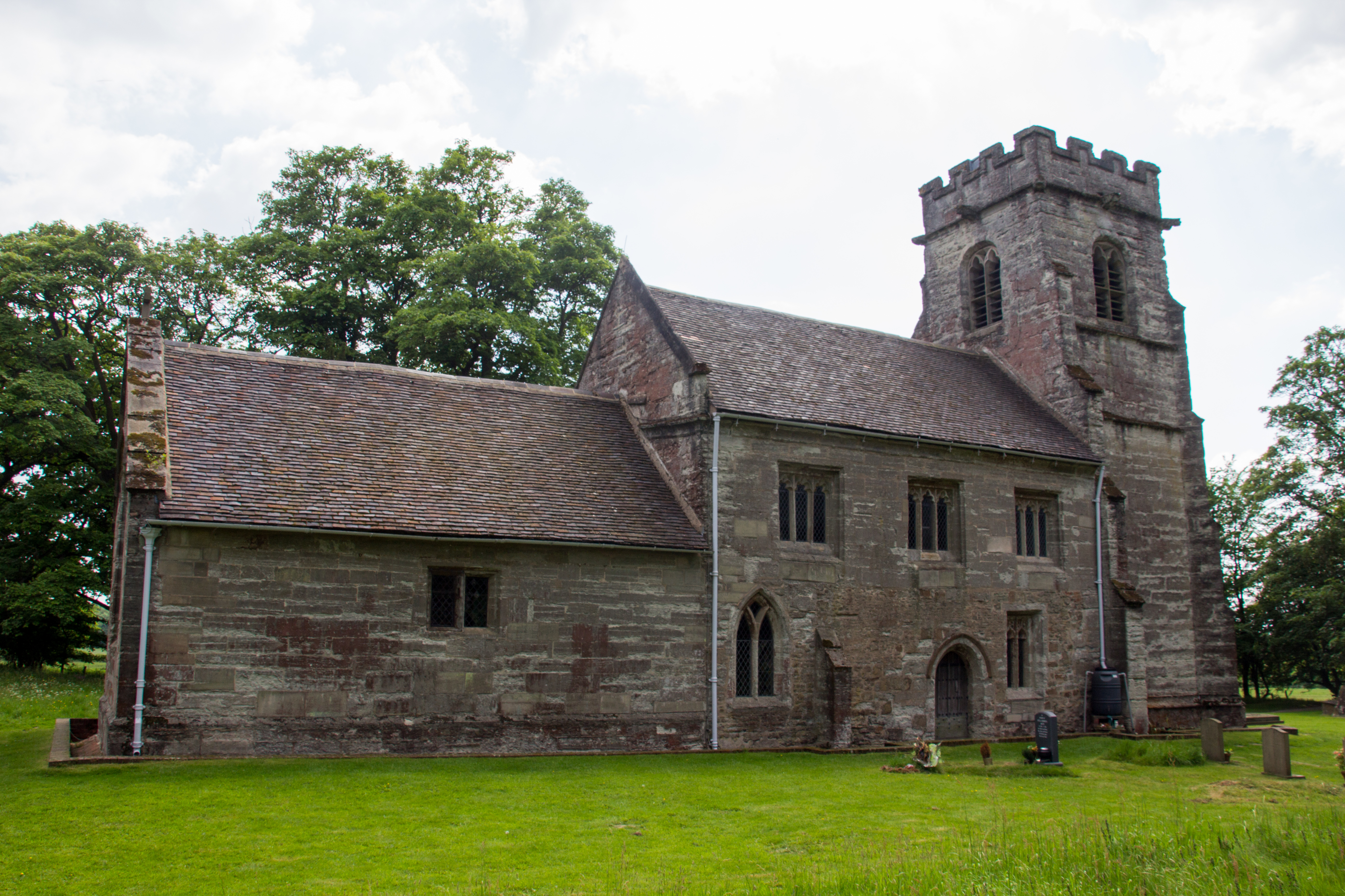
Netherwood Heath boasts a rich history, with records of its existence dating back to the medieval period. The village is dotted with historic buildings and landmarks, including a 13th-century church, which adds to its character and allure. Many of the village's houses also exhibit traditional Tudor architecture, further adding to the charm of the area.

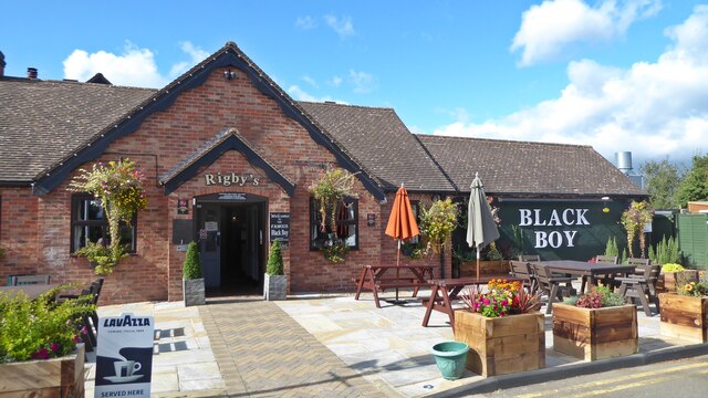
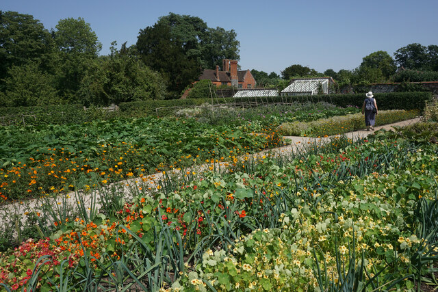
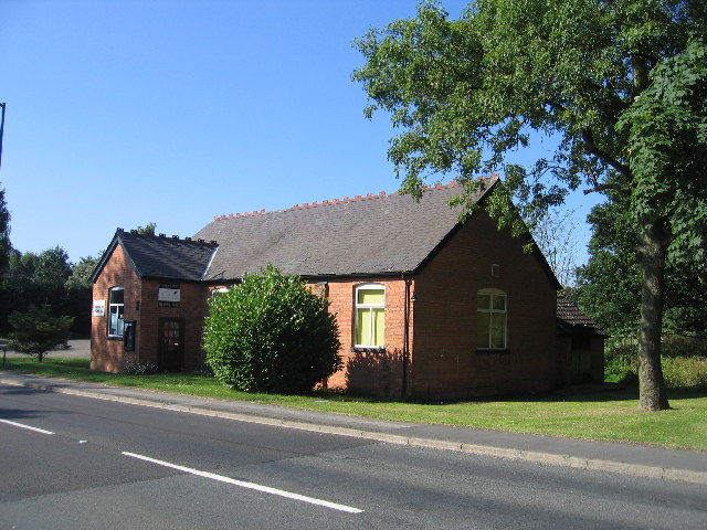
Despite its small size, Netherwood Heath is well-served in terms of amenities. The village has a local pub, a community center, and a primary school, providing residents with essential services and a sense of community. The surrounding countryside offers ample opportunities for outdoor activities, such as walking, hiking, and cycling, allowing residents and visitors to enjoy the natural beauty of the area.

Overall, Netherwood Heath is a quaint and picturesque village that offers a peaceful and rural lifestyle, making it a desirable place to reside for those seeking a slower pace of life in the heart of Warwickshire.

If you have any feedback on the listing, please let us know in the comments section below.

Netherwood Heath Images

Images are sourced within 2km of 52.357611/-1.7094151 or Grid Reference SP1973. Thanks to Geograph Open Source API. All images are credited.

The Black Boy pub
The Black Boy pub
Geese at Baddesley Clinton National Trust property Baddesley Clinton is a moated manor house, about 8 miles north-west of the town of Warwick, in the village of Baddesley Clinton, Warwickshire, England. The house probably originated in the 13th century, when large areas of the Forest of Arden were cleared for farmland. (Wikipedia)
Geese at Baddesley Clinton National Trust property
Baddesley Clinton is a moated manor house, about 8 miles north-west of the town of Warwick, in the village of Baddesley Clinton, Warwickshire, England. The house probably originated in the 13th century, when large areas of the Forest of Arden were cleared for farmland. (Wikipedia)
Baddesley Clinton Moated Manor House, Warwickshire Entrance archways
Baddesley Clinton Moated Manor House, Warwickshire
Entrance archways
Baddesley Clinton House, south west aspect
Baddesley Clinton House from the walled garden
Flowers and thatched building, Baddesley Clinton
Flower beds, walled garden, Baddersley Clinton
Baddesley Clinton South West aspect with moat
Shed in need of repair, Baddesley Clinton
Vegetable beds, Baddesley Clinton
Baddesley Clinton outer estate
Bridge over moat, Baddesley Clinton
Baddesley Clinton door from courtyard
Water aerator in Baddesley Clinton moat
Baddesley Clinton courtyard
Sheep grazing, Baddesley Clinton estate
Kitchen garden at Baddesley Clinton A lot of the produce is used in this National Trust property.
Kitchen garden at Baddesley Clinton
A lot of the produce is used in this National Trust property.
The A4141 near Meres Bridge
Show me another place!

Netherwood Heath is located at Grid Ref: SP1973 (Lat: 52.357611, Lng: -1.7094151)

Unitary Authority: Solihull

Police Authority: West Midlands

What 3 Words

///chitchat.protester.hunt. Near Knowle, West Midlands

Related Wikis

Chadwick End

Chadwick End is a small village which straddles the border of Warwickshire and the West Midlands Metropolitan Borough of Solihull, situated 3 miles (5...

Baddesley Clinton (village)

Baddesley Clinton is a village and civil parish in Warwickshire, England, about 5+1⁄2 miles (9 km) southeast of Solihull. The village has Anglo-Saxon origins...

Baddesley Clinton

Baddesley Clinton (grid reference SP199714) is a moated manor house, about 8 miles (13 km) north-west of the town of Warwick, in the village of Baddesley...

Lapworth railway station

Lapworth railway station serves the village of Kingswood, Warwickshire, near the village of Lapworth from which it takes its name. The station has two...

Nearby Amenities

Located within 500m of 52.357611,-1.7094151
Bus Stop
Warwick Road / Arbour Tree Lane
Bus: yes
Naptan AtcoCode: 43000104001
Naptan Bearing: N
Naptan BusStopType: MKD
Naptan CommonName: Arbour Tree Lane
Naptan Indicator: adj
Naptan NaptanCode: nwmtdwdg
Naptan PlusbusZoneRef: BHAMNWS
Naptan Status: ACT
Naptan StopType: BCT
Naptan Street: WARWICK ROAD
Naptan Towards: Solihull
Naptan Verified: no
Public Transport: platform
Route Ref: 88;514
Source: WMCA
Lat/Long: 52.3610391/-1.7050585
Bus Stop
Warwick Road / Arbour Tree Lane
Bus: yes
Naptan AtcoCode: 43000104002
Naptan Bearing: S
Naptan BusStopType: MKD
Naptan CommonName: Arbour Tree Lane
Naptan Indicator: opp
Naptan NaptanCode: nwmtdwdj
Naptan PlusbusZoneRef: BHAMNWS
Naptan Status: ACT
Naptan StopType: BCT
Naptan Street: WARWICK ROAD
Naptan Towards: Balsall Common
Naptan Verified: no
Public Transport: platform
Route Ref: 88;514
Source: WMCA
Lat/Long: 52.3609863/-1.7048327
Power: tower
Source: bing
Lat/Long: 52.3561325/-1.7144118
Power: tower
Source: bing
Lat/Long: 52.3592078/-1.713907
Barrier: kissing_gate
Lat/Long: 52.3591436/-1.7136815
Barrier: kissing_gate
Lat/Long: 52.3576911/-1.7094797
Power: pole
Source: bing
Lat/Long: 52.3580489/-1.7166513
Power: pole
Source: bing
Lat/Long: 52.3570431/-1.7163509
Power: pole
Source: bing
Lat/Long: 52.3568481/-1.7120366
Power: pole
Source: bing
Lat/Long: 52.3566737/-1.7127608
Power: pole
Source: bing
Lat/Long: 52.3565123/-1.7136459
Power: pole
Source: bing
Lat/Long: 52.3562797/-1.7148113
Power: pole
Source: bing
Lat/Long: 52.356025/-1.7160814
Power: pole
Source: bing
Lat/Long: 52.3586304/-1.7032832
Power: pole
Source: bing
Lat/Long: 52.3583552/-1.7047074
Power: pole
Source: bing
Lat/Long: 52.3580603/-1.7060941
Power: pole
Source: bing
Lat/Long: 52.3577982/-1.7073575
Power: pole
Source: bing
Lat/Long: 52.3575411/-1.7086583
Power: pole
Ref: 720062
Source: wpd_open_data
Transformer: distribution
Lat/Long: 52.3573379/-1.7096722
Power: pole
Source: bing
Lat/Long: 52.357084/-1.7109811
The data included in this document is from www.openstreetmap.org. The data is made available under ODbL.

Have you been to Netherwood Heath?

Leave your review of Netherwood Heath below (or comments, questions and feedback).