Broad Meadow
Downs, Moorland in Staffordshire Tamworth
England
Broad Meadow
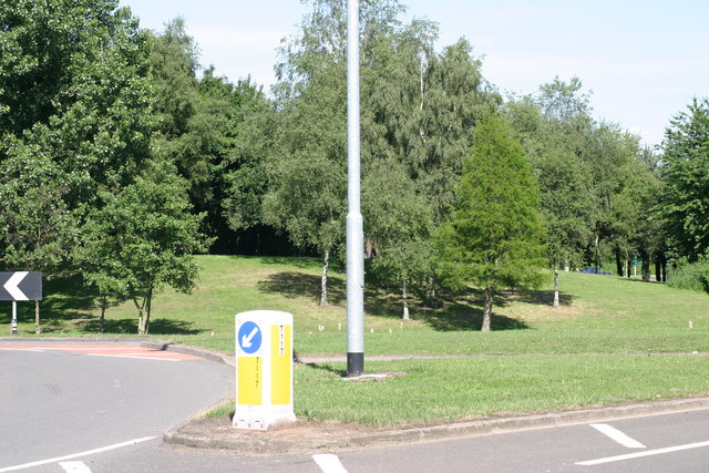
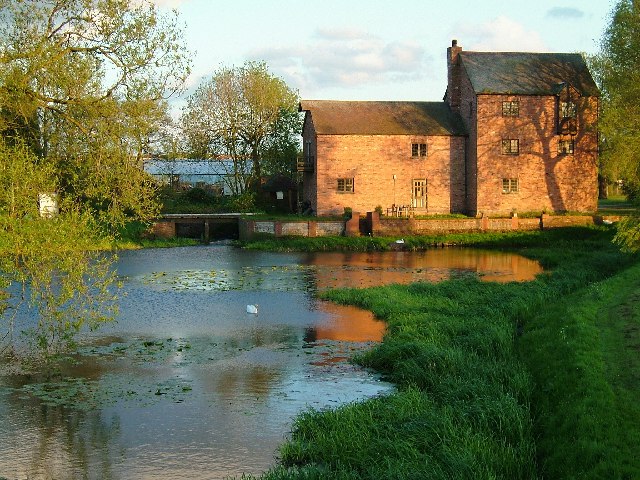
Broad Meadow is a picturesque area located in Staffordshire, England. It is characterized by its vast open spaces, rolling hills, and lush green meadows. The landscape of Broad Meadow is a delightful blend of downs and moorland, offering visitors a unique and diverse natural environment to explore.
The downs of Broad Meadow are characterized by their gently sloping hills and wide, open spaces. They provide a perfect setting for leisurely walks, picnics, and outdoor activities. The downs are covered in a variety of grasses and wildflowers, creating a vibrant and colorful backdrop throughout the seasons.
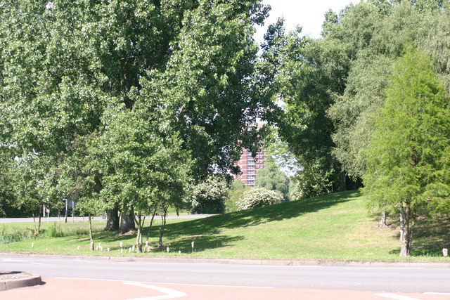
Adjacent to the downs, the moorland of Broad Meadow offers a stark contrast with its rugged terrain and heather-covered hills. This diverse landscape provides a habitat for a wide range of wildlife and is a haven for nature enthusiasts. Visitors can often spot various species of birds, grazing sheep, and even rare plants that thrive in this unique environment.
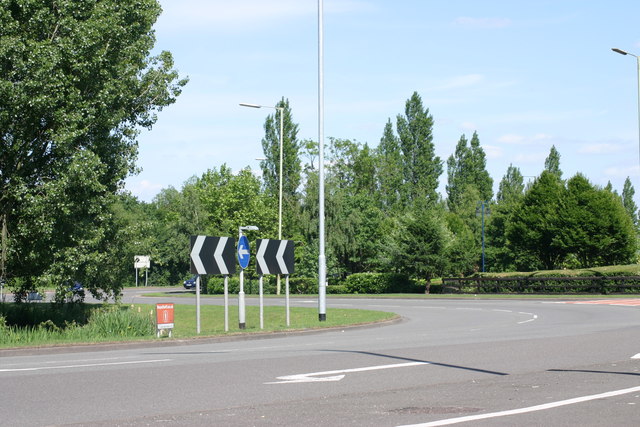
Broad Meadow is also home to several walking and hiking trails, allowing visitors to explore the area at their own pace. These trails offer breathtaking views of the surrounding countryside and provide an opportunity to immerse oneself in the tranquility and beauty of nature.
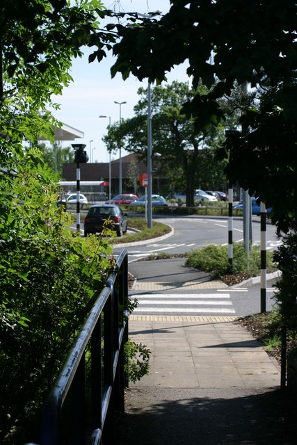
Overall, Broad Meadow in Staffordshire is a hidden gem for those seeking a peaceful retreat in the heart of nature. Its combination of downs and moorland offers a diverse and captivating landscape that will leave visitors in awe of its natural beauty.
If you have any feedback on the listing, please let us know in the comments section below.
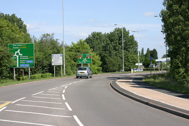
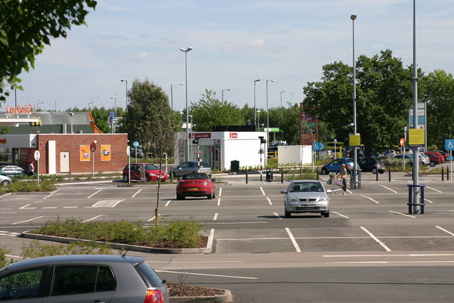
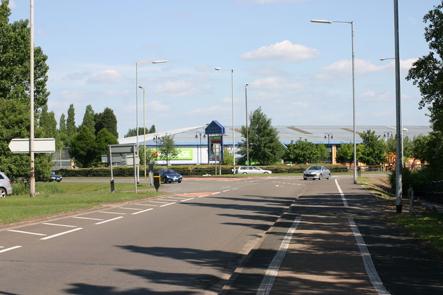
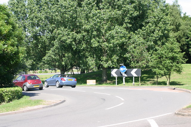
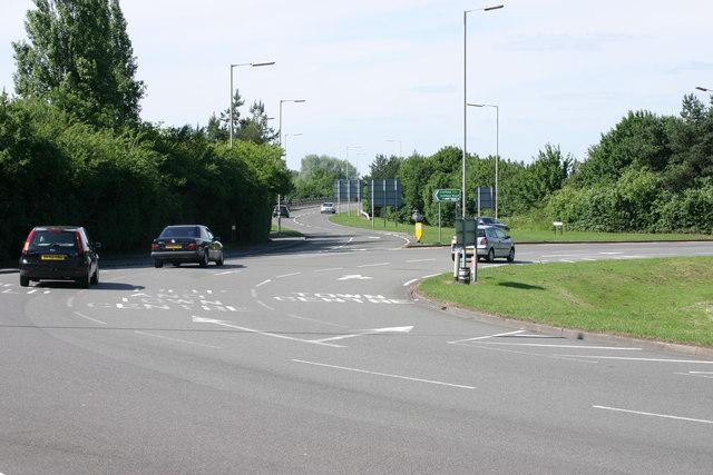
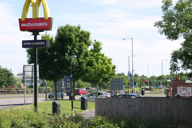
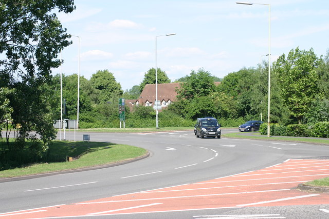
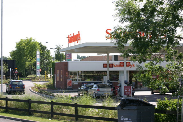
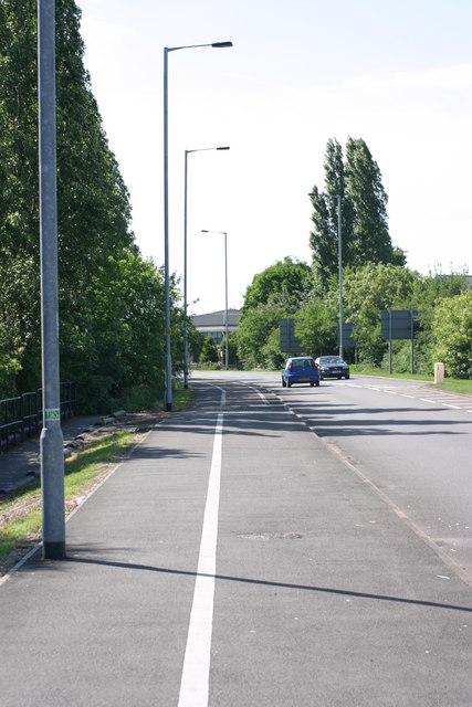
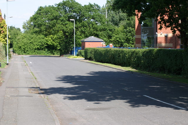
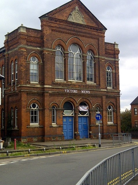
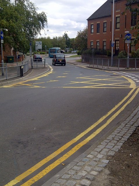
Broad Meadow Images
Images are sourced within 2km of 52.634251/-1.7137341 or Grid Reference SK1904. Thanks to Geograph Open Source API. All images are credited.


Broad Meadow is located at Grid Ref: SK1904 (Lat: 52.634251, Lng: -1.7137341)
Administrative County: Staffordshire
District: Tamworth
Police Authority: Staffordshire
What 3 Words
///soda.skills.strongman. Near Tamworth, Staffordshire
Nearby Locations
Related Wikis

Moat House, Tamworth
The Moat House is a Grade II* building in Tamworth, Staffordshire, England, in what were once the grounds of Tamworth Castle. The summer house, in the...

Leyfields
Leyfields is a housing estate in Tamworth, Staffordshire, consisting of 3-storey flats, maisonettes, bungalows and houses. It was built in the 1960s as...
River Anker
The River Anker is a river in England that flows through the centre of Nuneaton. It is a major tributary of the River Tame, which it joins in Tamworth...
Bitterscote
Bitterscote is an area of Tamworth, Staffordshire that is close to the town centre and contains major retail outlets in a development known as Ventura...

Tamworth Town Hall
Tamworth Town Hall is a municipal building in Market Street, Tamworth, Staffordshire, England. The town hall, which was the meeting place of Tamworth Borough...
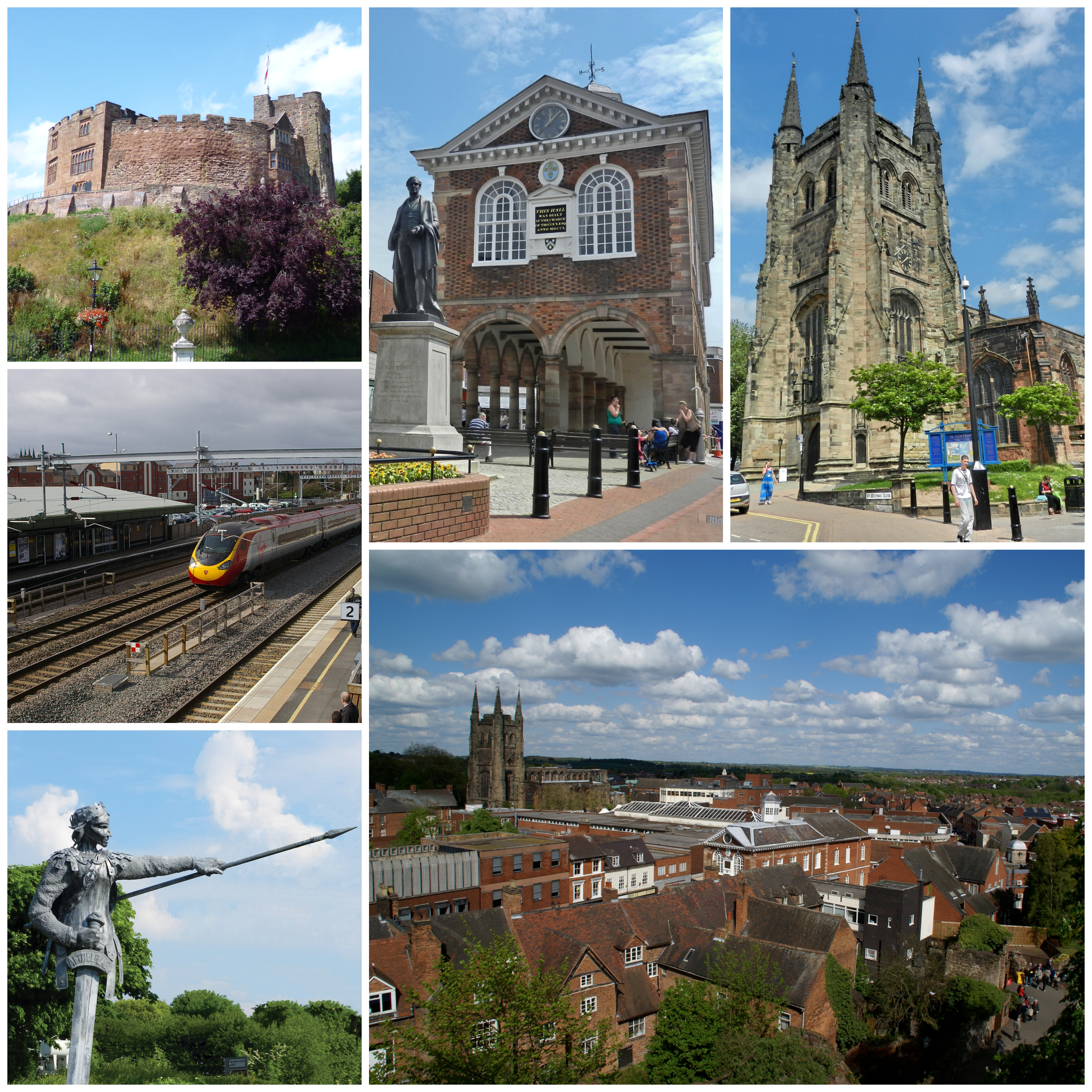
Tamworth, Staffordshire
Tamworth (, ) is a market town and borough in Staffordshire, England, 14 miles (23 km) north-east of Birmingham. The town borders North Warwickshire to...

Church of St Editha, Tamworth
The Church of St Editha is a Church of England parish church and Grade I listed building in Tamworth, Staffordshire, England. == History == The church...

Warwickshire ring
The Warwickshire ring is a connected series of canals forming a circuit around the West Midlands area of England. The ring is formed from the Coventry...
Nearby Amenities
Located within 500m of 52.634251,-1.7137341Have you been to Broad Meadow?
Leave your review of Broad Meadow below (or comments, questions and feedback).