The Alders

Settlement in Staffordshire Tamworth

England

The Alders

Bonehill Road  (7) This photograph <a href="https://www.geograph.org.uk/photo/2434787">SK1903 : Bonehill Road  (6)</a> shows another view of Bonehill Road.
Bonehill Road (7) Credit: Chris' Buet

The Alders, located in Staffordshire, is a picturesque village nestled in the heart of the English countryside. With a population of approximately 1,000 residents, this close-knit community boasts a tranquil and idyllic setting that attracts visitors from far and wide.

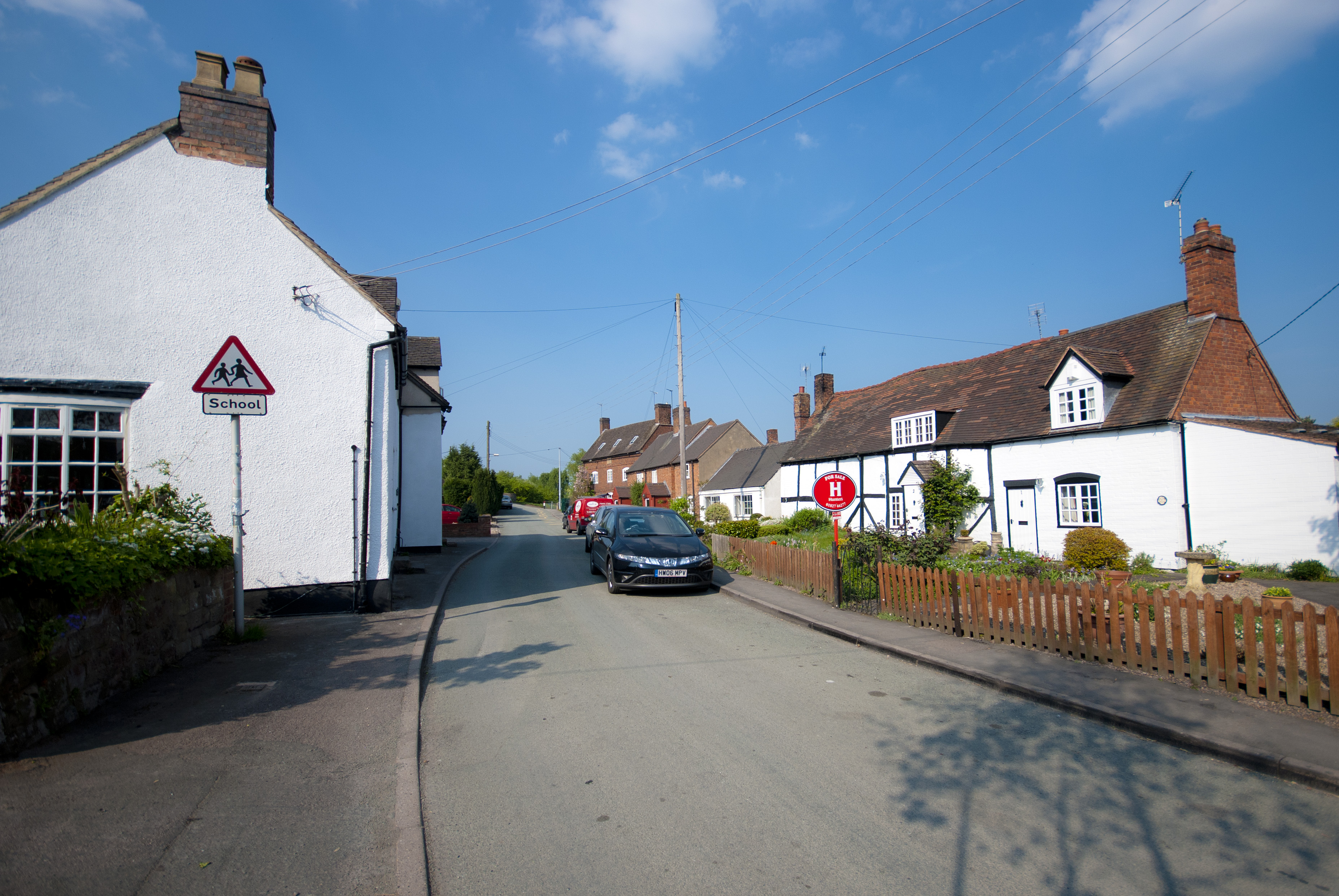
Surrounded by lush green fields and rolling hills, The Alders offers a peaceful retreat for those seeking a break from the hustle and bustle of city life. The village is known for its charming thatched-roof cottages, which add to its timeless appeal. The architecture reflects the area's rich history, with some buildings dating back several centuries.

Despite its small size, The Alders has a strong sense of community, with various local events and gatherings taking place throughout the year. The village pub, The Oak Inn, serves as the social hub, where residents and visitors can enjoy a pint of local ale and engage in friendly conversation.

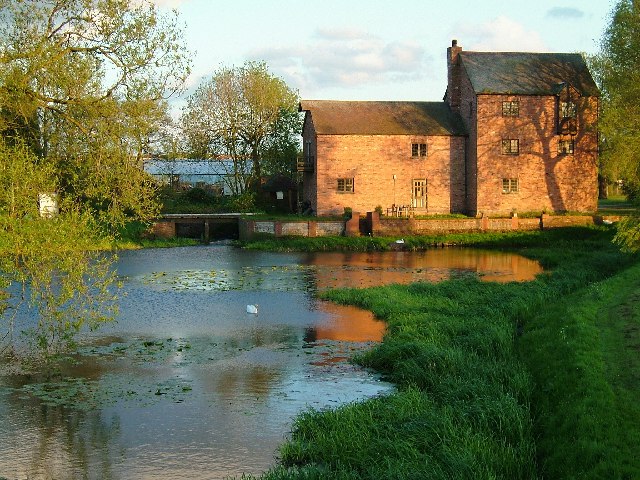
For outdoor enthusiasts, The Alders provides ample opportunities for exploration. The surrounding countryside offers scenic walking trails, perfect for leisurely strolls or more adventurous hikes. The nearby Alderswood Forest is a haven for nature lovers, with its diverse flora and fauna.

Although The Alders may be off the beaten path, it is conveniently located within a short drive of several larger towns and cities. This allows residents to enjoy the peacefulness of rural life while still having easy access to amenities such as shops, schools, and healthcare facilities.

Overall, The Alders is a charming and tranquil village that offers a welcome escape from the fast pace of modern life, making it an attractive place to visit or call home.

If you have any feedback on the listing, please let us know in the comments section below.
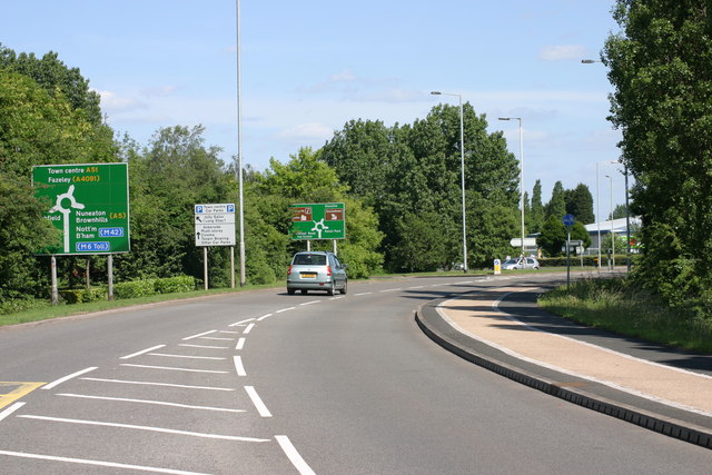
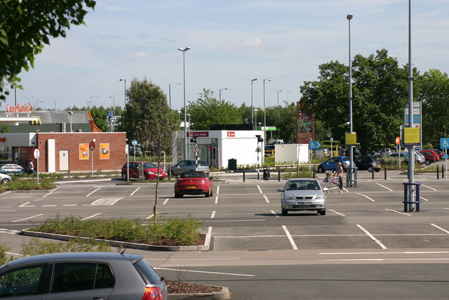
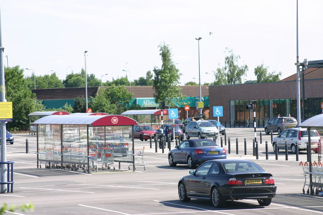
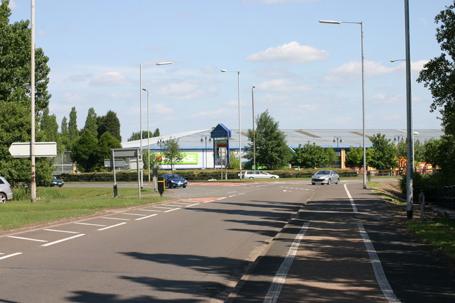
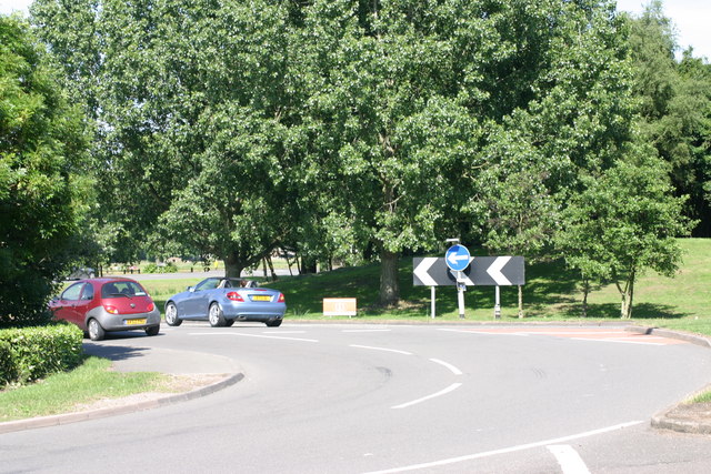
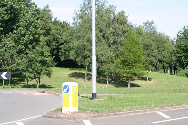
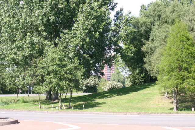
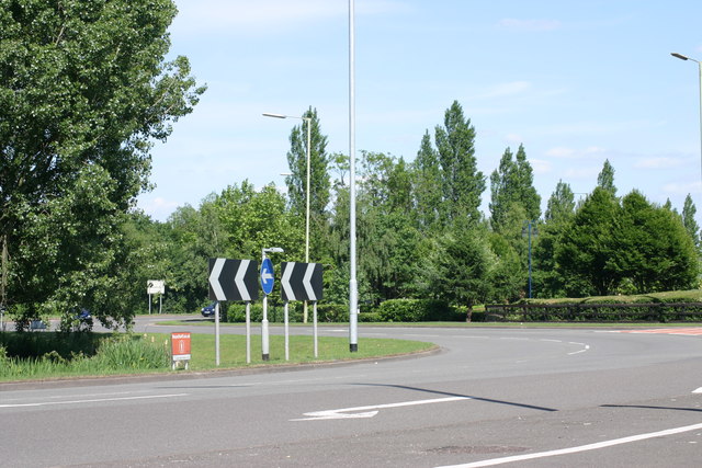
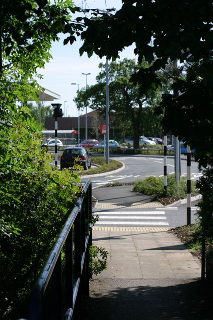
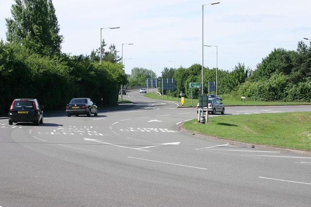
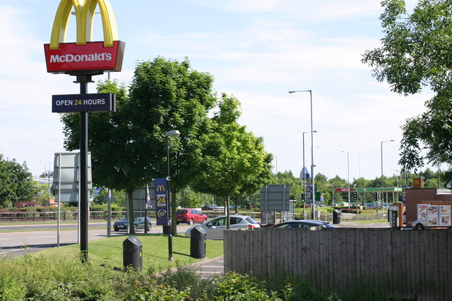
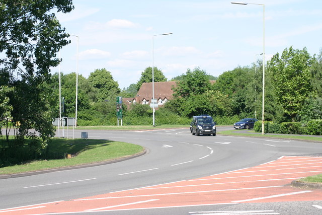
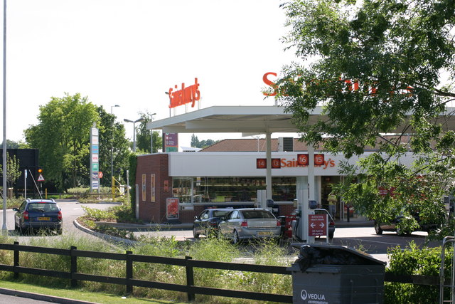
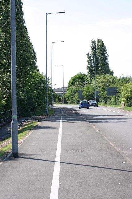
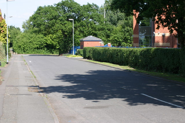
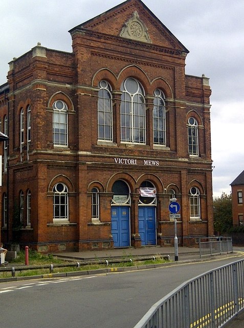
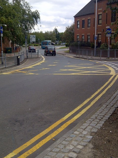
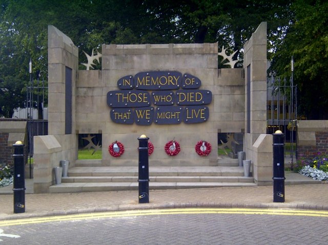
The Alders Images

Images are sourced within 2km of 52.63941/-1.716823 or Grid Reference SK1904. Thanks to Geograph Open Source API. All images are credited.

Bonehill Road  (7) This photograph <a href="https://www.geograph.org.uk/photo/2434787">SK1903 : Bonehill Road  (6)</a> shows another view of Bonehill Road.
Bonehill Road (7)
This photograph SK1903 : Bonehill Road (6) shows another view of Bonehill Road.
The Jolly Sailor, Retail park  (4) The above photograph shows a view the car park which part of the Jolly Sailor, retail park. This photograph <a href="https://www.geograph.org.uk/photo/2437906">SK1903 : The Jolly Sailor, Retail Park  (2)</a> shows another view of this retail park.
The Jolly Sailor, Retail park (4)
The above photograph shows a view the car park which part of the Jolly Sailor, retail park. This photograph SK1903 : The Jolly Sailor, Retail Park (2) shows another view of this retail park.
The Jolly Sailor, Retail park  (10) This photograph <a href="https://www.geograph.org.uk/photo/2439862">SK1903 : The Jolly Sailor, Retail park  (3)</a> shows another view of this Retail park.
The Jolly Sailor, Retail park (10)
This photograph SK1903 : The Jolly Sailor, Retail park (3) shows another view of this Retail park.
Bonehill Road  (10) The above photograph shows a view of Bonehill Road, exiting a traffic island. The traffic island which is just about visible, located to the left of this photograph, joins on to this stretch of Bonehill Road. This photograph <a href="https://www.geograph.org.uk/photo/2437749">SK2003 : Bonehill Road  (7)</a> shows a view of Bonehill Road approaching the traffic Island mentioned above. Ventura retail park can be seen in the background.
Bonehill Road (10)
The above photograph shows a view of Bonehill Road, exiting a traffic island. The traffic island which is just about visible, located to the left of this photograph, joins on to this stretch of Bonehill Road. This photograph SK2003 : Bonehill Road (7) shows a view of Bonehill Road approaching the traffic Island mentioned above. Ventura retail park can be seen in the background.
Bonehill Road  (11) The above photograph shows a section of Bonehill Road, joining a traffic island along the (A453) This photograph <a href="https://www.geograph.org.uk/photo/2443771">SK1903 : Bonehill Road  (9)</a> shows another view Bonehill Road.
Bonehill Road (11)
The above photograph shows a section of Bonehill Road, joining a traffic island along the (A453) This photograph SK1903 : Bonehill Road (9) shows another view Bonehill Road.
Traffic Island, next to Bonehill Road  (1) This photograph <a href="https://www.geograph.org.uk/photo/2443755">SK1903 : Bonehill Road  (8)</a> shows another view of a section of Bonehill Road.
Traffic Island, next to Bonehill Road (1)
This photograph SK1903 : Bonehill Road (8) shows another view of a section of Bonehill Road.
Traffic Island, next to Bonehill Road  (2) The above photograph shows a view of a section of the Traffic island next to Bonehill Road. This photograph <a href="https://www.geograph.org.uk/photo/2428095">SK1903 : Bonehill Road  (5)</a> shows a view of Bonehill Road.
Traffic Island, next to Bonehill Road (2)
The above photograph shows a view of a section of the Traffic island next to Bonehill Road. This photograph SK1903 : Bonehill Road (5) shows a view of Bonehill Road.
Traffic island, next to Bitterscote Drive  (1) This photograph <a href="https://www.geograph.org.uk/photo/2439871">SK2003 : The Jolly Sailor, Retail park  (4)</a> shows a view of the Jolly Sailor Retail Park, which is next to this section of traffic island.
Traffic island, next to Bitterscote Drive (1)
This photograph SK2003 : The Jolly Sailor, Retail park (4) shows a view of the Jolly Sailor Retail Park, which is next to this section of traffic island.
Path leading to, The Jolly Sailor Retail Park This photograph <a href="https://www.geograph.org.uk/photo/2440520">SK1903 : The Jolly Sailor, Retail Park  (7)</a> shows a view of that Retail park.
Path leading to, The Jolly Sailor Retail Park
This photograph SK1903 : The Jolly Sailor, Retail Park (7) shows a view of that Retail park.
Traffic Island, Next to Bonehill Road  (3) This photograph <a href="https://www.geograph.org.uk/photo/2444547">SK2003 : Traffic Island, next to Bonehill Road  (1)</a> shows another view of this Traffic Island.
Traffic Island, Next to Bonehill Road (3)
This photograph SK2003 : Traffic Island, next to Bonehill Road (1) shows another view of this Traffic Island.
Mc Donalds  (6) This photograph <a href="https://www.geograph.org.uk/photo/1498020">SK2003 : Mc Donalds  (2)</a> shows another view of this Fast Food Outlet.
Mc Donalds (6)
This photograph SK2003 : Mc Donalds (2) shows another view of this Fast Food Outlet.
Traffic Island, next to Bitterscote Drive  (2) This photograph <a href="https://www.geograph.org.uk/photo/2444689">SK2003 : Traffic Island, Next to Bonehill Road  (3)</a> shows another view this Traffic island, but the photograph shows the section next to Bonehill Road.
Traffic Island, next to Bitterscote Drive (2)
This photograph SK2003 : Traffic Island, Next to Bonehill Road (3) shows another view this Traffic island, but the photograph shows the section next to Bonehill Road.
The Jolly Sailor, retail park  (12) The above photograph shows a Sainsbury's petrol station, located on the Jolly Sailor retail park. This photograph <a href="https://www.geograph.org.uk/photo/2439884">SK1903 : The Jolly Sailor, Retail park  (6)</a> shows another view of this retail park.
The Jolly Sailor, retail park (12)
The above photograph shows a Sainsbury's petrol station, located on the Jolly Sailor retail park. This photograph SK1903 : The Jolly Sailor, Retail park (6) shows another view of this retail park.
Path located along Bonehill Road  (A453)  (3) This photograph <a href="https://www.geograph.org.uk/photo/2437850">SK1903 : Path located along Bonehill Road  (A453)  (2)</a> shows another section of path located along the Bonehill road.
Path located along Bonehill Road (A453) (3)
This photograph SK1903 : Path located along Bonehill Road (A453) (2) shows another section of path located along the Bonehill road.
Dunstall Lane  (3) This photograph <a href="https://www.geograph.org.uk/photo/2431353">SK1903 : Dunstall Lane  (2)</a> shows another view of the above lane.
Dunstall Lane (3)
This photograph SK1903 : Dunstall Lane (2) shows another view of the above lane.
Victoria Mews An old building converted into flats. Victoria Road in Tamworth B79 comprises 109 properties. Over half of them are residential (i.e. there are a total of 67 homes in Victoria Road).
Victoria Mews
An old building converted into flats. Victoria Road in Tamworth B79 comprises 109 properties. Over half of them are residential (i.e. there are a total of 67 homes in Victoria Road).
One Way System Victoria Road is off to the right hand side of the one way system.
One Way System
Victoria Road is off to the right hand side of the one way system.
War Memorial War Memorial - outside St Editha's Church
War Memorial
War Memorial - outside St Editha's Church
Show me another place!

The Alders is located at Grid Ref: SK1904 (Lat: 52.63941, Lng: -1.716823)

Administrative County: Staffordshire

District: Tamworth

Police Authority: Staffordshire

What 3 Words

///bands.songbirds.unite. Near Tamworth, Staffordshire

Related Wikis

Leyfields

Leyfields is a housing estate in Tamworth, Staffordshire, consisting of 3-storey flats, maisonettes, bungalows and houses. It was built in the 1960s as...

Moat House, Tamworth

The Moat House is a Grade II* building in Tamworth, Staffordshire, England, in what were once the grounds of Tamworth Castle. The summer house, in the...

Wigginton and Hopwas

Wigginton and Hopwas is a civil parish in Lichfield District, Staffordshire, England. The villages of Wigginton and Hopwas, that make up the parish, lie...

Gillway

Gillway is a council estate in Tamworth, United Kingdom built in the 1950s. It is a small suburb consisting of brick and concrete houses and two storey...

Hopwas

Hopwas is a village in Staffordshire, England. It lies along the North West borders of Tamworth Borough (along the River Tame to the east and Dunstall...

River Anker

The River Anker is a river in England that flows through the centre of Nuneaton. It is a major tributary of the River Tame, which it joins in Tamworth...
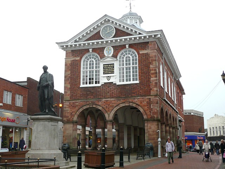
Tamworth Town Hall

Tamworth Town Hall is a municipal building in Market Street, Tamworth, Staffordshire, England. The town hall, which was the meeting place of Tamworth Borough...

Church of St Editha, Tamworth

The Church of St Editha is a Church of England parish church and Grade I listed building in Tamworth, Staffordshire, England. == History == The church...

Nearby Amenities

Located within 500m of 52.63941,-1.716823
Bus Stop
Newstead
Bus: yes
Naptan AtcoCode: 3800C902500
Naptan Bearing: S
Naptan CommonName: Newstead
Naptan Indicator: Opp
Naptan Landmark: Newstead
Naptan PlusbusZoneRef: TAMWORTH
Naptan Street: Buckingham Rd
Naptan Verified: no
Public Transport: platform
Source: naptan_import
Lat/Long: 52.6411195/-1.7188967
Cavendish
Naptan AtcoCode: 3800C905801
Naptan Bearing: SE
Naptan BusStopType: CUS
Naptan CommonName: Cavendish
Naptan Indicator: Adj
Naptan Landmark: Cavendish
Naptan PlusbusZoneRef: TAMWORTH
Naptan Street: Mariner
Naptan Verified: no
Source: naptan_import
Lat/Long: 52.6433244/-1.7160893
Cavendish
Naptan AtcoCode: 3800C905802
Naptan Bearing: NW
Naptan BusStopType: CUS
Naptan CommonName: Cavendish
Naptan Indicator: opp
Naptan Landmark: Cavendish
Naptan PlusbusZoneRef: TAMWORTH
Naptan Street: Mariner
Naptan Verified: no
Source: naptan_import
Lat/Long: 52.6431895/-1.7160754
Bus Stop
Mariner
Bus: yes
Naptan AtcoCode: 3800C907401
Naptan Bearing: SE
Naptan CommonName: Mariner
Naptan Indicator: Adj
Naptan Landmark: Mariner
Naptan PlusbusZoneRef: TAMWORTH
Naptan Street: Lichfield Road
Naptan Verified: no
Public Transport: platform
Source: naptan_import
Lat/Long: 52.6366033/-1.713798
Bus Stop
Gagarin
Bus: yes
Naptan AtcoCode: 3800C907402
Naptan Bearing: NW
Naptan CommonName: Gagarin
Naptan Indicator: Opp
Naptan Landmark: Gagarin
Naptan PlusbusZoneRef: TAMWORTH
Naptan Street: Lichfield Road
Naptan Verified: no
Public Transport: platform
Source: naptan_import
Lat/Long: 52.6359632/-1.7130338
Bus Stop
Footpath Oxbridge Way
Bus: yes
Naptan AtcoCode: 3800C908001
Naptan Bearing: SE
Naptan CommonName: Footpath Oxbridge Way
Naptan Indicator: Adj
Naptan Landmark: Footpath Oxbridge Way
Naptan PlusbusZoneRef: TAMWORTH
Naptan Street: Lichfield Road
Naptan Verified: no
Public Transport: platform
Source: naptan_import
Lat/Long: 52.6404834/-1.7236151
Bus Stop
Buckingham Road
Bus: yes
Naptan AtcoCode: 3800C917502
Naptan Bearing: SE
Naptan CommonName: Buckingham Road
Naptan Indicator: Adj
Naptan Landmark: Buckingham Rd
Naptan PlusbusZoneRef: TAMWORTH
Naptan Street: Lichfield Rd
Naptan Verified: no
Public Transport: platform
Source: naptan_import
Lat/Long: 52.6406817/-1.7238503
Bus Stop
Evergreen House
Bus: yes
Naptan AtcoCode: 3800C919301
Naptan Bearing: NW
Naptan CommonName: Evergreen House
Naptan Indicator: Opp
Naptan Landmark: Evergreen House
Naptan PlusbusZoneRef: TAMWORTH
Naptan Street: Lichfield Rd
Naptan Verified: no
Public Transport: platform
Source: naptan_import
Lat/Long: 52.6399216/-1.7217418
Bus Stop
Evergreen House
Bus: yes
Naptan AtcoCode: 3800C919302
Naptan Bearing: SE
Naptan CommonName: Evergreen House
Naptan Indicator: Adj
Naptan Landmark: Evergreen House
Naptan PlusbusZoneRef: TAMWORTH
Naptan Street: Lichfield Rd
Naptan Verified: no
Public Transport: platform
Source: naptan_import
Lat/Long: 52.6399571/-1.7215347
Bus Stop
Buckingham Road
Bus: yes
Naptan AtcoCode: 3800C919401
Naptan Bearing: NW
Naptan CommonName: Buckingham Road
Naptan Indicator: Opp
Naptan Landmark: Buckingham Rd
Naptan PlusbusZoneRef: TAMWORTH
Naptan Street: Lichfield Rd
Naptan Verified: no
Public Transport: platform
Source: naptan_import
Lat/Long: 52.6385003/-1.7175835
Bus Stop
Buckingham Road
Bus: yes
Naptan AtcoCode: 3800C919402
Naptan Bearing: SE
Naptan CommonName: Buckingham Road
Naptan Indicator: Adj
Naptan Landmark: Buckingham Rd
Naptan PlusbusZoneRef: TAMWORTH
Naptan Street: Lichfield Rd
Naptan Verified: yes
Public Transport: platform
Shelter: yes
Source: naptan_import
Lat/Long: 52.6383538/-1.7170237
Bus Stop
Downing Drive
Bus: yes
Naptan AtcoCode: 3800C919501
Naptan Bearing: NW
Naptan CommonName: Downing Drive
Naptan Indicator: Adj
Naptan Landmark: Downing Dr
Naptan PlusbusZoneRef: TAMWORTH
Naptan Street: Lichfield Rd
Naptan Verified: yes
Public Transport: platform
Shelter: no
Source: naptan_import
Lat/Long: 52.6376158/-1.7160846
Bus Stop
Downing Drive
Bus: yes
Naptan AtcoCode: 3800C919502
Naptan Bearing: SE
Naptan BusStopType: CUS
Naptan CommonName: Downing Drive
Naptan Indicator: Opp
Naptan Landmark: Downing Dr
Naptan PlusbusZoneRef: TAMWORTH
Naptan Street: Lichfield Road
Naptan Verified: no
Public Transport: platform
Source: naptan_import
Lat/Long: 52.6374341/-1.7153442
Noexit: yes
Source: survey
Lat/Long: 52.638375/-1.7120705
Linpac Services
Man Made: works
Lat/Long: 52.640058/-1.7122999
ACD Interiors
Man Made: works
Source: survey
Lat/Long: 52.6435008/-1.7178885
Satellite Thal
Man Made: works
Source: survey
Lat/Long: 52.6409205/-1.7158576
Operator: Central Networks
Power: substation
Source: survey
Voltage: 11000
Lat/Long: 52.6409365/-1.7127413
Operator: Central Networks
Power: substation
Source: survey
Lat/Long: 52.6429955/-1.7149241
Collin & Hobson
Man Made: works
Source: survey
Lat/Long: 52.6405669/-1.7152573
Operator: Central Networks
Power: substation
Source: survey
Voltage: 11000
Lat/Long: 52.6400942/-1.7109598
Source: survey
Structure: yes
Utility: gas
Lat/Long: 52.6438207/-1.7167877
Barrier: bollard
Source: survey
Lat/Long: 52.6433324/-1.7148953
Man Made: tower
Operator: T-Mobile
Tower Type: communication
Lat/Long: 52.6426893/-1.7151832
Post Box
Postal Code: B79
Ref: B79 1411
Source: GPS Survey
Lat/Long: 52.63865/-1.7110286
Flight Case Warehouse
Addr City: Tamworth
Addr Postcode: B79 7UW
Addr Street: Gerard
Man Made: works
Source: survey
Website: https://www.flightcasewarehouse.co.uk/
Lat/Long: 52.642682/-1.7173456
Toughened Glass Ltd
Man Made: works
Source: survey
Lat/Long: 52.6432533/-1.7178691
Operator: Central Networks
Power: substation
Ref: 42D 2402
Source: survey
Voltage: 11000
Lat/Long: 52.6387596/-1.7117447
Man Made: surveillance
Source: survey
Lat/Long: 52.6432541/-1.7148561
Source: OS_OpenData_StreetView
Waterway: weir
Lat/Long: 52.6371123/-1.7187759
Crossing
Crossing: traffic_signals
Crossing Ref: toucan
Lat/Long: 52.640478/-1.7234328
Post Box
Postal Code: B79
Ref: B79 1423
Source: GPS Survey
Lat/Long: 52.6383529/-1.719512
Mini Roundabout
Direction: clockwise
Lat/Long: 52.6381726/-1.7195949
Fast Food
Cuisine: sandwich
Lat/Long: 52.6383905/-1.711765
Power: pole
Source: Bing
Lat/Long: 52.6354819/-1.7136527
Barrier: kissing_gate
Lat/Long: 52.6371925/-1.7188245
Barrier: kissing_gate
Foot: yes
Motor Vehicle: no
Lat/Long: 52.6370381/-1.7186981
Generator Method: photovoltaic
Generator Output Electricity: yes
Generator Source: solar
Generator Type: solar_photovoltaic_panel
Location: roof
Power: generator
Lat/Long: 52.6430797/-1.7131028
Barrier: yes
Lat/Long: 52.6374807/-1.7146249
Barrier: yes
Lat/Long: 52.6374815/-1.7145224
Waste Basket
Lat/Long: 52.6427732/-1.712066
Bench
Lat/Long: 52.6420539/-1.7115967
Give Way
Direction: backward
Lat/Long: 52.6378698/-1.7187985
The data included in this document is from www.openstreetmap.org. The data is made available under ODbL.

Have you been to The Alders?

Leave your review of The Alders below (or comments, questions and feedback).