North Moor

Downs, Moorland in Yorkshire

England

North Moor

Mirfield Station artwork
Mirfield Station artwork Credit: yorkshirelad

North Moor is a picturesque region located in the county of Yorkshire, England. Known for its stunning landscape, it encompasses both downs and moorland, providing visitors with a diverse and captivating experience. Covering a vast area, North Moor offers a range of natural features that are sure to delight outdoor enthusiasts and nature lovers.

The downs in North Moor showcase rolling hills and expansive grasslands, creating a tranquil and idyllic setting. These areas are perfect for leisurely walks or picnics, allowing individuals to immerse themselves in the beauty of the countryside. The downs are also home to a variety of plant and animal species, making it an excellent spot for wildlife observation.

The moorland in North Moor presents a more rugged and dramatic scenery. With its heather-covered hills, rocky outcrops, and vast open spaces, it offers a sense of wilderness and adventure. Moorland walks are popular among hikers and those seeking a challenge, as the terrain can be challenging yet rewarding. The moorland is also known for its unique flora and fauna, including heather, bilberry, grouse, and curlew.

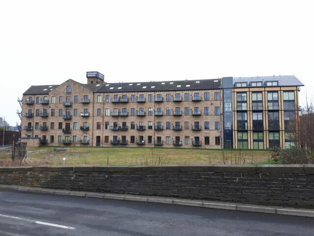
Visitors to North Moor can also explore the quaint villages and towns that dot the landscape. These settlements offer a glimpse into the region's rich history and traditional way of life. Additionally, there are various attractions and activities available, such as historic landmarks, local markets, and traditional pubs serving Yorkshire delicacies.

Overall, North Moor, Yorkshire, with its downs and moorland, provides a captivating and diverse natural environment that appeals to nature enthusiasts and those seeking a peaceful retreat in the heart of the English countryside.

If you have any feedback on the listing, please let us know in the comments section below.
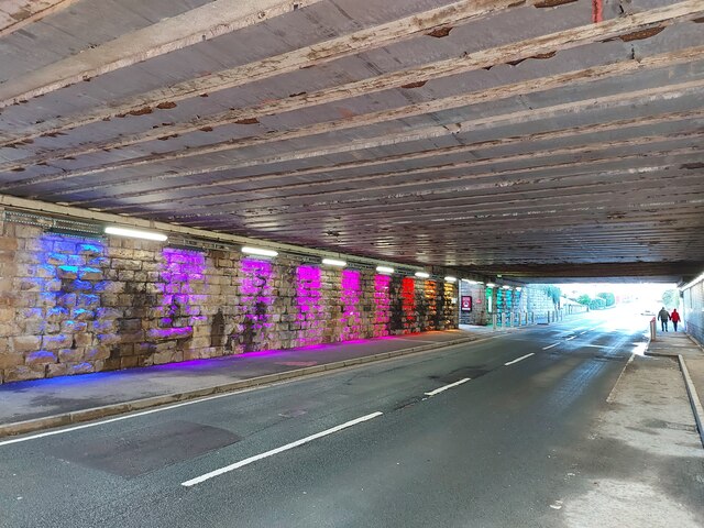
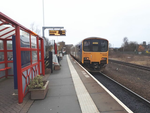
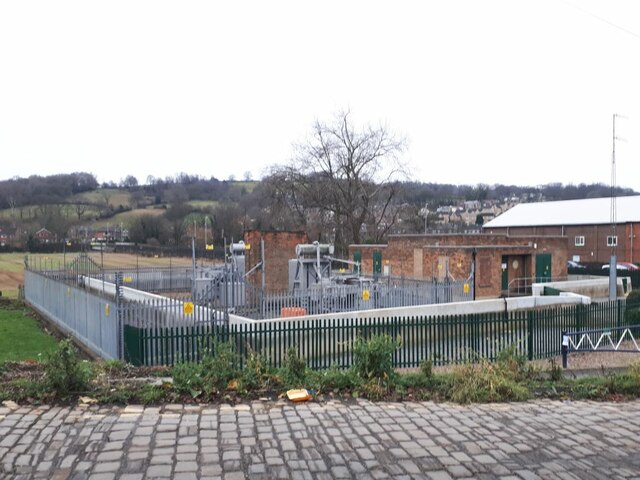
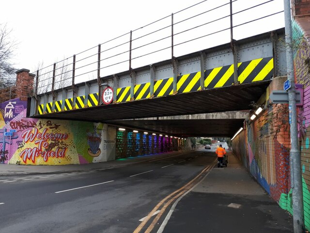
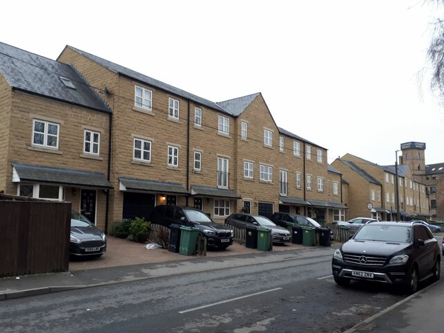
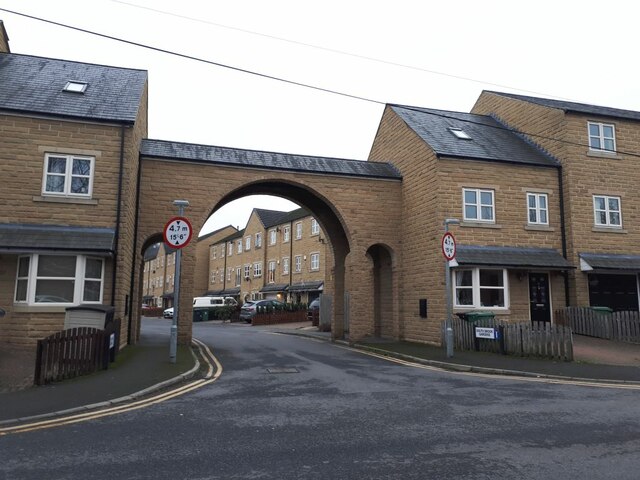
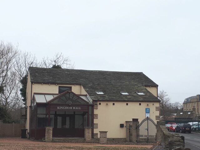
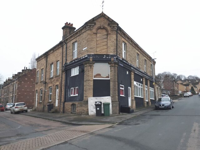
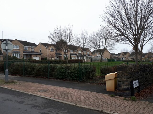
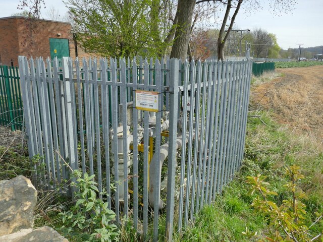
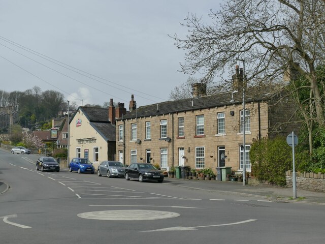
North Moor Images

Images are sourced within 2km of 53.668806/-1.7160691 or Grid Reference SE1819. Thanks to Geograph Open Source API. All images are credited.

Mirfield Station artwork
Mirfield Station road underpass
Sprinter departing Mirfield Unit 150106 departs on time at 9.40 with the Northern service from Leeds to Wigan.
Sprinter departing Mirfield
Unit 150106 departs on time at 9.40 with the Northern service from Leeds to Wigan.
Substation near Mirfield railway station It's not a railway substation, as this line is not yet electrified.  See also <a href="https://www.geograph.org.uk/photo/4095006">SE2019 : Electricity Substation No 16 - Station Road</a>.
Substation near Mirfield railway station
It's not a railway substation, as this line is not yet electrified. See also SE2019 : Electricity Substation No 16 - Station Road.
Railway bridge over Hopton New Road  There are actually two bridges here, a relatively narrow one that now only carries one westbound track, and a much wider one, forming a short tunnel, that runs beneath the island platform of the two eastbound tracks.

On the left abutment is a mural saying "Welcome to Mirfield". I did take a close-up of it, but found that someone else had submitted a virtually identical shot only a week earlier <a href="https://www.geograph.org.uk/photo/7043565">SE2019 : Mirfield Station artwork</a>. To the right, a Council workman pushes a traditional dustcart.
Railway bridge over Hopton New Road
There are actually two bridges here, a relatively narrow one that now only carries one westbound track, and a much wider one, forming a short tunnel, that runs beneath the island platform of the two eastbound tracks. On the left abutment is a mural saying "Welcome to Mirfield". I did take a close-up of it, but found that someone else had submitted a virtually identical shot only a week earlier SE2019 : Mirfield Station artwork. To the right, a Council workman pushes a traditional dustcart.
Modern houses on Back Station Road  The development occupies the site of the former South Brook woollen mill, though the mill building didn't come right up to the road.
Modern houses on Back Station Road
The development occupies the site of the former South Brook woollen mill, though the mill building didn't come right up to the road.
Entrance to South Brook Gardens, off Back Station Road  The development occupies the site of the former South Brook woollen mill <a href="https://www.geograph.org.uk/photo/1459973">SE2019 : Southbrook Mill, Mirfield</a>, built in 1881, enlarged in 1896 and demolished in 2009, of which the only remains are some carved words now situated on a wall half a mile away <a href="https://www.geograph.org.uk/photo/5258054">SE2118 : South Brook Mill 1881 enlarged 1896</a>.
Entrance to South Brook Gardens, off Back Station Road
The development occupies the site of the former South Brook woollen mill SE2019 : Southbrook Mill, Mirfield, built in 1881, enlarged in 1896 and demolished in 2009, of which the only remains are some carved words now situated on a wall half a mile away SE2118 : South Brook Mill 1881 enlarged 1896.
Kingdom Hall, Newgate, Mirfield Built on the site of the former Ledgard sawmill (water powered), the tail race of which ran through what is now the church car park.
Kingdom Hall, Newgate, Mirfield
Built on the site of the former Ledgard sawmill (water powered), the tail race of which ran through what is now the church car park.
Ledgard Bridge, Mirfield The road bridge over the river Calder was built c.1800, later widened, and is listed grade II (list entry 1183989). It seems to have survived the major floods of recent years.
Ledgard Bridge, Mirfield
The road bridge over the river Calder was built c.1800, later widened, and is listed grade II (list entry 1183989). It seems to have survived the major floods of recent years.
Ledgard Bridge Mills, Mirfield The former woollen mill was converted to apartments some time before 2010, judging by other photos on this site. The southern end seems to have been totally rebuilt. Ledgard Bridge Mill is the name on old maps, but <a href="https://www.geograph.org.uk/photo/2779520">SE2019 : Forty passing Mill</a> shows it in 1980 when it bore the name Lyles.  There may be a connection between the Ledgard after whom the bridge and mill were named, and the family of that name in Leeds (brewers and bus operators), but a brief online search didn't establish that.
Ledgard Bridge Mills, Mirfield
The former woollen mill was converted to apartments some time before 2010, judging by other photos on this site. The southern end seems to have been totally rebuilt. Ledgard Bridge Mill is the name on old maps, but SE2019 : Forty passing Mill shows it in 1980 when it bore the name Lyles. There may be a connection between the Ledgard after whom the bridge and mill were named, and the family of that name in Leeds (brewers and bus operators), but a brief online search didn't establish that.
Calder railway viaduct, Mirfield The steel bridge seen here is not listed, but beyond it is the original stone viaduct of c.1840 by George Stephenson, which is.
Calder railway viaduct, Mirfield
The steel bridge seen here is not listed, but beyond it is the original stone viaduct of c.1840 by George Stephenson, which is.
Calder Road, Mirfield In the foreground is a GR postbox set into the wall; beyond is Jack's Chippy, formerly Calder Road Fisheries <a href="https://www.geograph.org.uk/photo/2097739">SE2019 : Calder Road Fisheries - Calder Road</a>.
Calder Road, Mirfield
In the foreground is a GR postbox set into the wall; beyond is Jack's Chippy, formerly Calder Road Fisheries SE2019 : Calder Road Fisheries - Calder Road.
Vegetable growers, Calder Road, Mirfield The sort of community vegetable garden that has sprung up in several towns recently.
Vegetable growers, Calder Road, Mirfield
The sort of community vegetable garden that has sprung up in several towns recently.
Former Co-operative store, Waste Lane, Mirfield The inscription above the original entrance, readable on the original high-resolution image (available on request) is "Mirfield Industrial Co-operative Society Limited Branch No. 25" (at least I make the number 25, which also appears at the top of the inscription, rather than 1 as suggested by another contributor <a href="https://www.geograph.org.uk/photo/2097931">SE2019 : Mirfield Industrial Co-operative Society Ltd - No 1 Branch - Waste Lane</a>.
Former Co-operative store, Waste Lane, Mirfield
The inscription above the original entrance, readable on the original high-resolution image (available on request) is "Mirfield Industrial Co-operative Society Limited Branch No. 25" (at least I make the number 25, which also appears at the top of the inscription, rather than 1 as suggested by another contributor SE2019 : Mirfield Industrial Co-operative Society Ltd - No 1 Branch - Waste Lane.
Waste Lane, Mirfield The lane once led up to a quarry of the same name, but is now a residential street, though there is a small recreation ground here. Far right is the start of a ginnel called Chadwick Fold Lane (Chadwick Fold being a former farm that has also vanished).
Waste Lane, Mirfield
The lane once led up to a quarry of the same name, but is now a residential street, though there is a small recreation ground here. Far right is the start of a ginnel called Chadwick Fold Lane (Chadwick Fold being a former farm that has also vanished).
Gas valves, Hopton New Road, Mirfield
Plaque on Hopton Bridge The plaque on the north-east bridge pier says it was originally built in 1896, rebuilt in 1983 by the (short lived) West Yorkshire Metropolitan County Council.
Plaque on Hopton Bridge
The plaque on the north-east bridge pier says it was originally built in 1896, rebuilt in 1983 by the (short lived) West Yorkshire Metropolitan County Council.
The Flowerpot pub and adjacent houses An Ossett Brewery pub. See also <a href="https://www.geograph.org.uk/photo/6408800">SE2019 : The Flowerpot, Lower Hopton</a>.
The Flowerpot pub and adjacent houses
An Ossett Brewery pub. See also SE2019 : The Flowerpot, Lower Hopton.
Show me another place!

North Moor is located at Grid Ref: SE1819 (Lat: 53.668806, Lng: -1.7160691)

Division: West Riding

Unitary Authority: Kirklees

Police Authority: West Yorkshire

What 3 Words

///area.once.goods. Near Mirfield, West Yorkshire

Related Wikis

Heaton Lodge railway station

Heaton Lodge railway station co-served the suburb of Bradley, Huddersfield, in the historical county of West Riding of Yorkshire, England, from 1847 to...
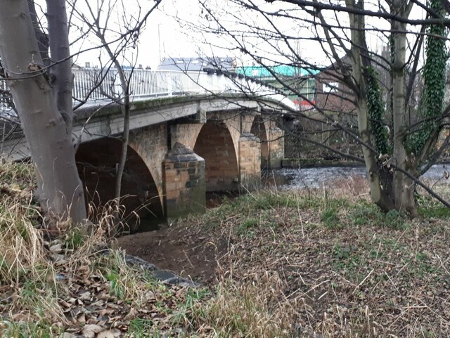
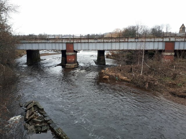
Ledgard Bridge

Ledgard Bridge crosses the River Calder in Mirfield, West Yorkshire, England. It was built in 1800 as a replacement for an earlier bridge in the same location...

Battyeford railway station

Battyeford railway station served the village of Battyeford in West Yorkshire, England. == History == Built by the London and North Western Railway and...

Battyeford

Battyeford is a village in West Yorkshire, England west of the town of Mirfield. == History == From 1900 to 1953 the village was served by Battyeford railway...

Nearby Amenities

Located within 500m of 53.668806,-1.7160691
Pub
The Travellers Rest
Source: survey
Lat/Long: 53.6660967/-1.7115649
The data included in this document is from www.openstreetmap.org. The data is made available under ODbL.

Have you been to North Moor?

Leave your review of North Moor below (or comments, questions and feedback).