Water Grove
Downs, Moorland in Derbyshire Derbyshire Dales
England
Water Grove
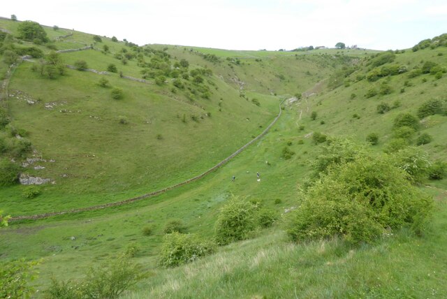
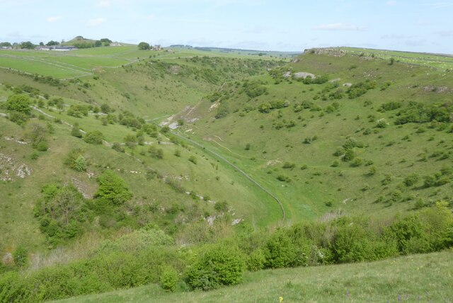
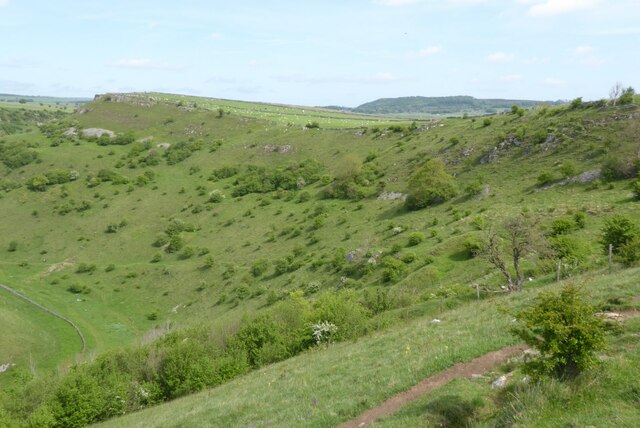
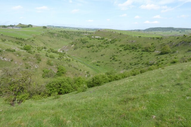
Water Grove is a picturesque area located in Derbyshire, England. Situated amidst the stunning landscapes of Downs and Moorland, this region offers a unique blend of natural beauty and tranquility. It is a popular destination for nature enthusiasts, hikers, and anyone seeking an escape from the hustle and bustle of city life.
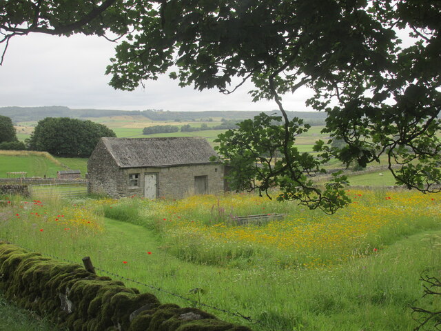
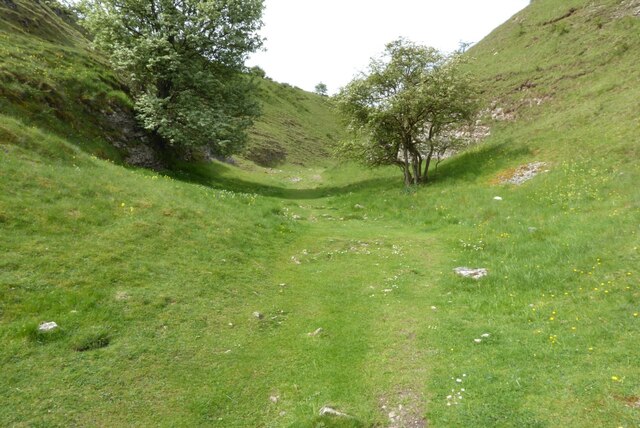
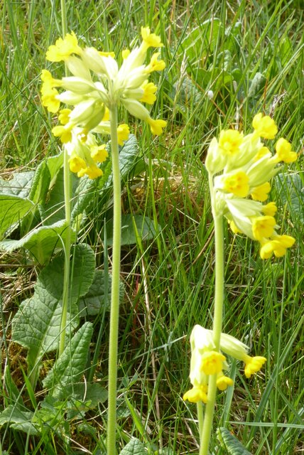
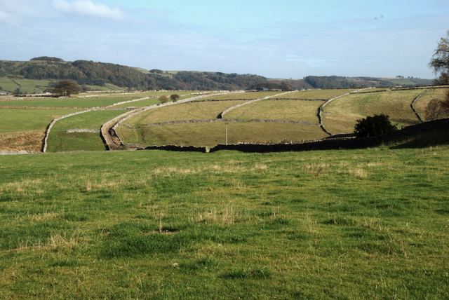
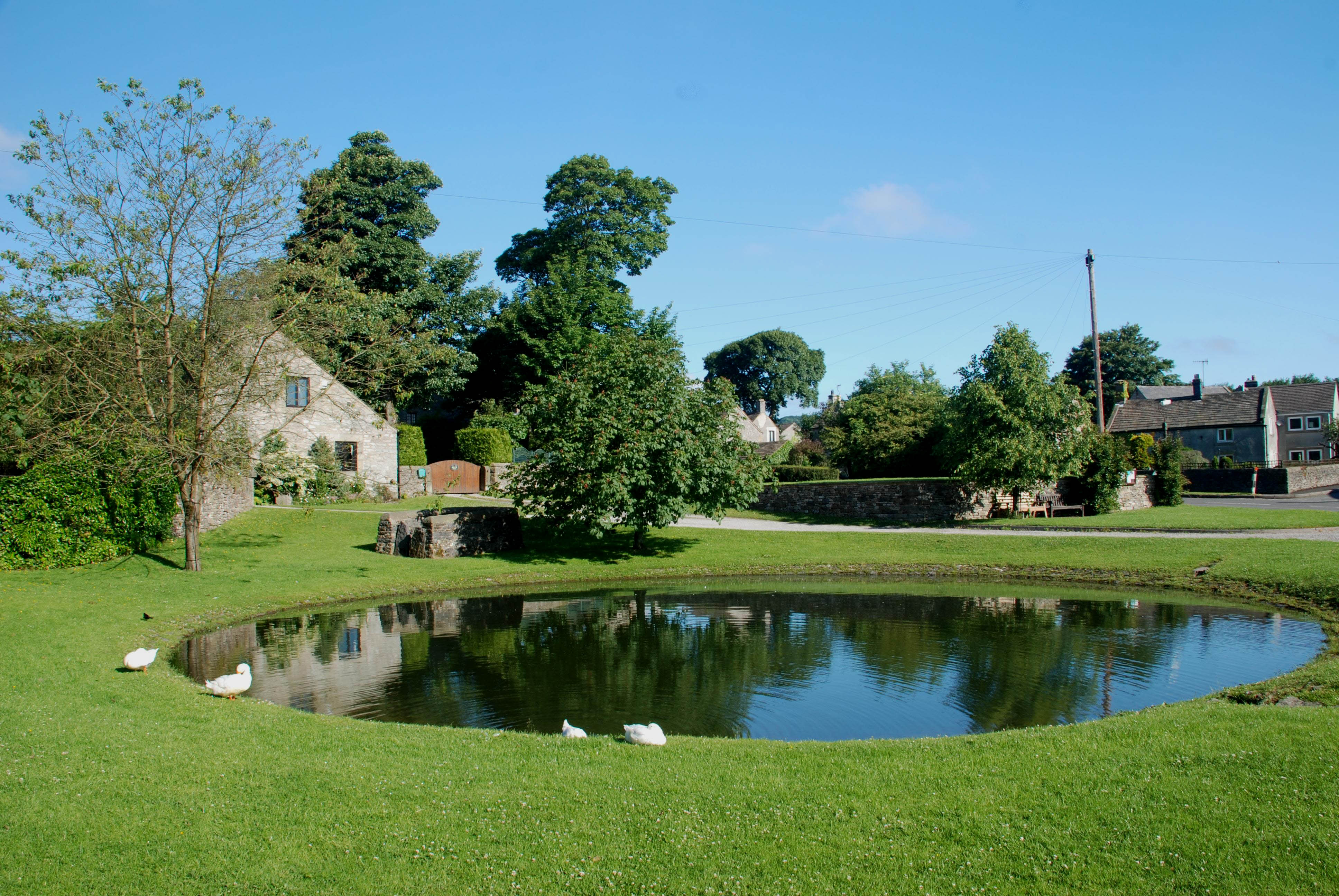
The area is characterized by its rolling hills, dense forests, and charming streams that meander through the countryside. The lush greenery and diverse wildlife make it an ideal spot for birdwatching and observing various species of plants and animals in their natural habitat.
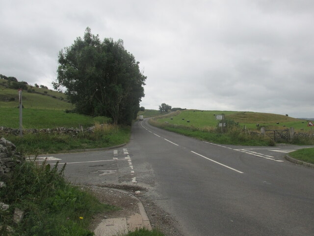
Water Grove is also home to several walking trails, providing visitors with the opportunity to explore the area's stunning scenery. These trails offer a range of difficulty levels, catering to both casual strollers and experienced hikers. Along the way, walkers can enjoy breathtaking views of the surrounding countryside and may even stumble upon hidden waterfalls or ancient ruins.
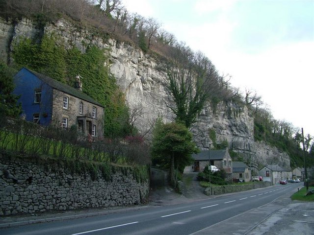
For those looking to immerse themselves in history, Water Grove boasts a rich heritage. The area is dotted with historic landmarks, including old mills and remnants of ancient settlements. History buffs can delve into the region's past and uncover the stories of its former inhabitants.
Additionally, Water Grove offers a range of amenities to cater to visitors. There are cozy bed and breakfasts, charming country pubs, and local shops where visitors can purchase local produce and crafts.
Overall, Water Grove in Derbyshire offers a captivating blend of natural beauty, outdoor activities, and historical significance. It is a must-visit destination for those seeking to escape into the heart of England's countryside.
If you have any feedback on the listing, please let us know in the comments section below.
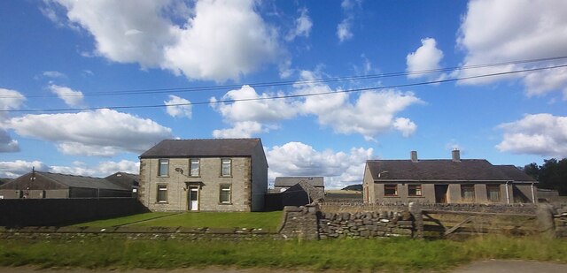
Water Grove Images
Images are sourced within 2km of 53.278632/-1.7189741 or Grid Reference SK1875. Thanks to Geograph Open Source API. All images are credited.


Water Grove is located at Grid Ref: SK1875 (Lat: 53.278632, Lng: -1.7189741)
Administrative County: Derbyshire
District: Derbyshire Dales
Police Authority: Derbyshire
What 3 Words
///lunge.flinches.vaccines. Near Tideswell, Derbyshire
Nearby Locations
Related Wikis
Brosterfield
Brosterfield is a hamlet in Derbyshire, England. It is located close to Foolow, where the road to that village joins the A623 road.

The Three Stags' Heads
The Three Stags' Heads is a Grade II listed public house in Wardlow Mires, Derbyshire, England.On the Campaign for Real Ale's National Inventory of Historic...

St Hugh's Church, Foolow
St Hugh's Church, Foolow is a Grade II listed parish church in the Church of England in Foolow, Derbyshire. == History == The church was opened on 17 November...
Foolow
Foolow (Old English possibly for "bird hill" or "colourful hill") is a village in the Derbyshire Peak District. == Village centre == The village green...

Bretton, Derbyshire
Bretton, Derbyshire is a hamlet in Derbyshire, England. Set on a ridge with a panoramic view, it has few inhabitants but boasts a pub called the Barrel...
Middleton Dale
Middleton Dale is a steep-sided, carboniferous limestone valley in the Derbyshire Peak District of England. The village of Stoney Middleton lies at the...

Wardlow, Derbyshire
Wardlow is a parish and linear village in the Derbyshire Dales two miles from Tideswell, Derbyshire, England. The population at the 2011 census was 118...

Grindlow
Grindlow is a farming hamlet of a dozen or so houses that nestles under Hucklow Edge in the Derbyshire Peak District. Although it is a separate civil parish...
Nearby Amenities
Located within 500m of 53.278632,-1.7189741Have you been to Water Grove?
Leave your review of Water Grove below (or comments, questions and feedback).