Green Moor
Downs, Moorland in Shetland
Scotland
Green Moor
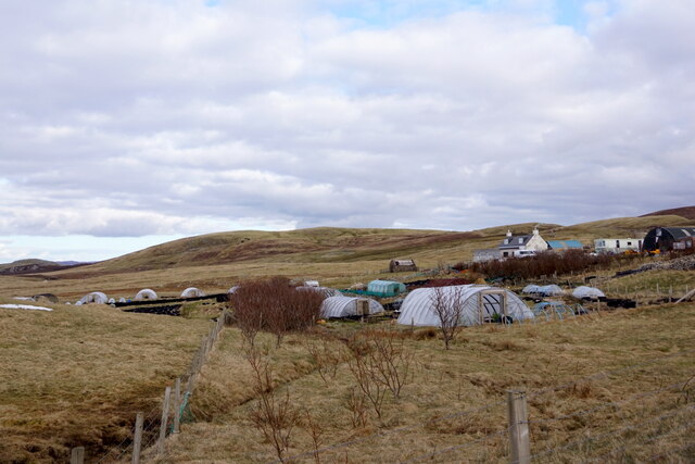
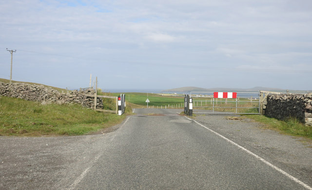
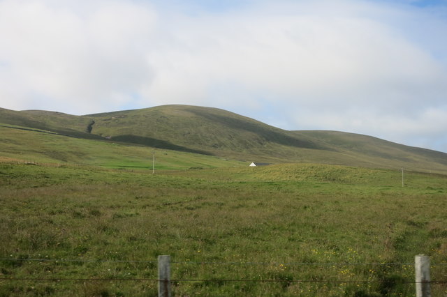
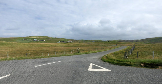
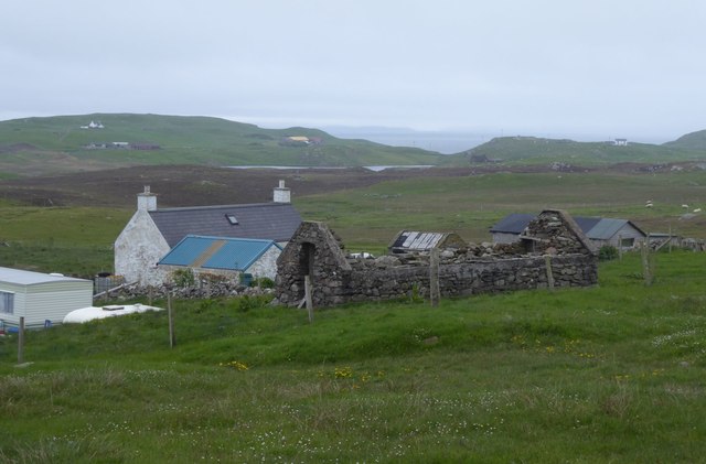
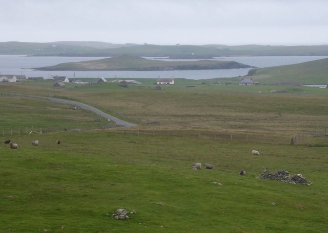
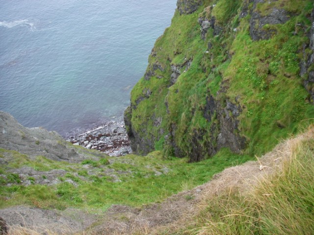
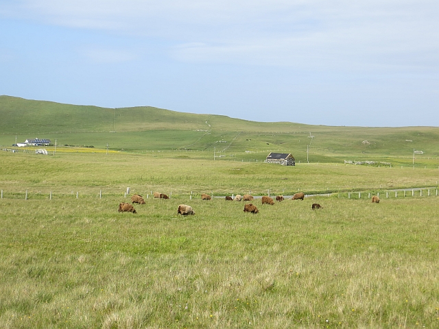
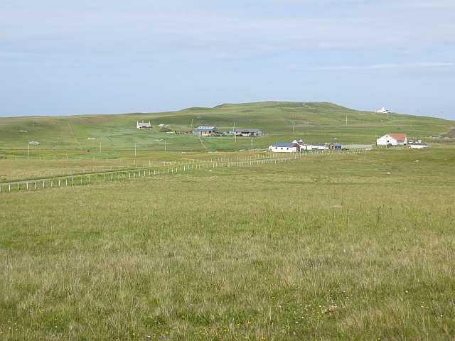
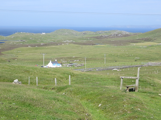
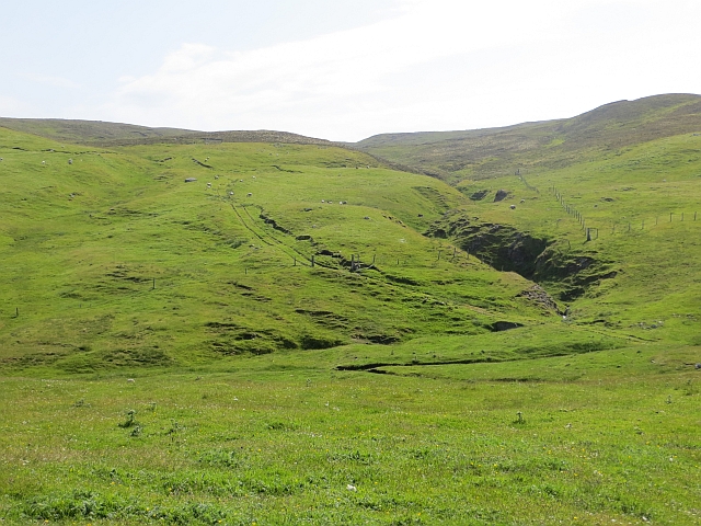
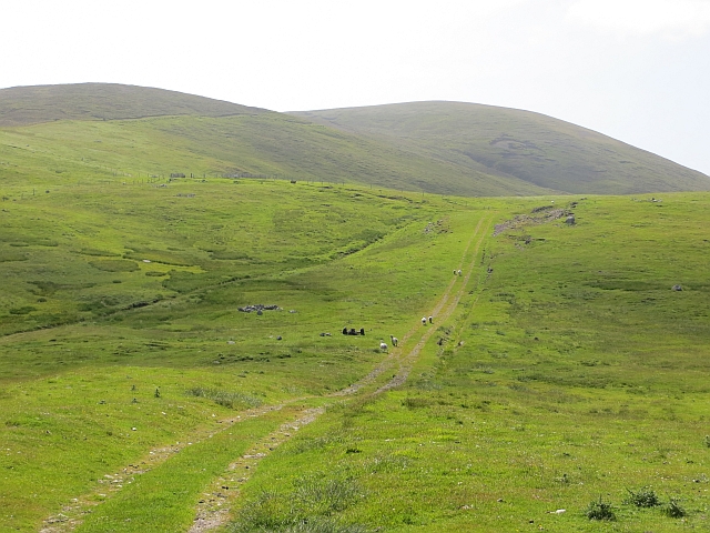
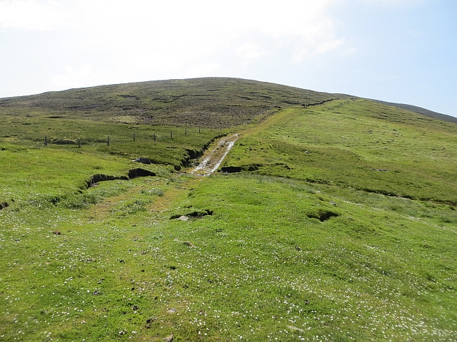
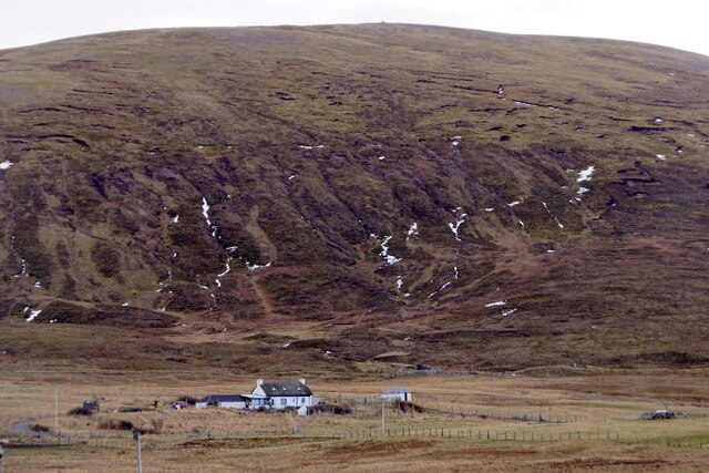
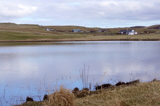
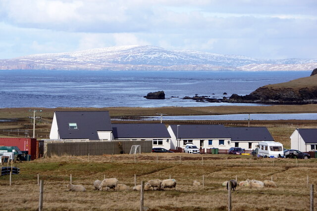
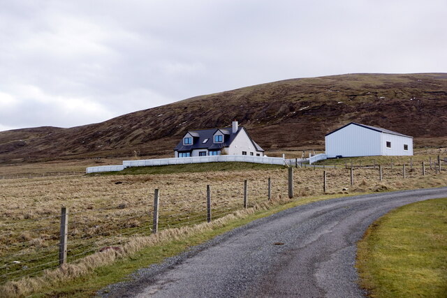
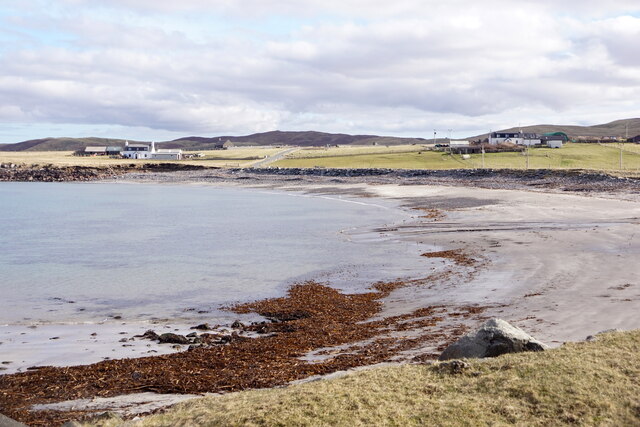
Green Moor is a picturesque area located in the Shetland Islands, a remote archipelago in Scotland. Spread across a sprawling expanse of downs and moorland, Green Moor offers breathtaking natural beauty and a tranquil atmosphere. The landscape is characterized by rolling hills, scattered with heather, grasses, and other low-lying vegetation, creating a vibrant tapestry of colors throughout the year.
The area is home to a diverse range of wildlife, including various bird species, such as puffins, fulmars, and oystercatchers, making it a haven for birdwatching enthusiasts. Visitors may also be lucky enough to catch a glimpse of seals or otters in the surrounding waters.
Green Moor is a popular destination for outdoor activities, such as hiking and nature walks. The undulating terrain provides opportunities for both leisurely strolls and more challenging hikes, allowing visitors to explore the area at their own pace. The breathtaking views from the higher points offer a unique perspective of the surrounding islands and the vast North Atlantic Ocean.
For those interested in history, Green Moor is also home to several ancient archaeological sites, including standing stones and burial mounds, that provide a glimpse into the island's rich past. These sites offer a fascinating insight into the lives of the early inhabitants of Shetland and their connection to the land.
Overall, Green Moor in Shetland is a must-visit destination for nature lovers and history enthusiasts alike. With its stunning landscapes, diverse wildlife, and rich history, it offers a truly unforgettable experience for visitors looking to immerse themselves in the beauty of the Scottish wilderness.
If you have any feedback on the listing, please let us know in the comments section below.
Green Moor Images
Images are sourced within 2km of 60.294515/-1.6612193 or Grid Reference HU1856. Thanks to Geograph Open Source API. All images are credited.
Green Moor is located at Grid Ref: HU1856 (Lat: 60.294515, Lng: -1.6612193)
Unitary Authority: Shetland Islands
Police Authority: Highlands and Islands
What 3 Words
///ownership.slipping.responses. Near Walls, Shetland Islands
Nearby Locations
Related Wikis

Sandness
Sandness (the "d" is not pronounced locally) is a headland and district in the west of Shetland Mainland, Scotland. Sandness was a civil parish, which...

Forewick Holm
Forewick Holm is a 1-hectare (2.5-acre) island in the Sound of Papa in the Shetland islands, Scotland. Located between Papa Stour and the Sandness peninsula...

Papa Stour Airstrip
Papa Stour Airstrip is a small airstrip in the village of Biggings on the island of Papa Stour. Shetland, Scotland. == History == Papa Stour Airstrip opened...

Bousta
Bousta is a settlement on Mainland, in Shetland, Scotland. Bousta is situated in the parish of Walls and Sandness.Scott's Hawkweed is native to the pastures...
Nearby Amenities
Located within 500m of 60.294515,-1.6612193Have you been to Green Moor?
Leave your review of Green Moor below (or comments, questions and feedback).