Wardlow Mires

Settlement in Derbyshire Derbyshire Dales

England

Wardlow Mires

Crossroads on the B6465. South of Wardlow.
Crossroads on the B6465. Credit: steven ruffles

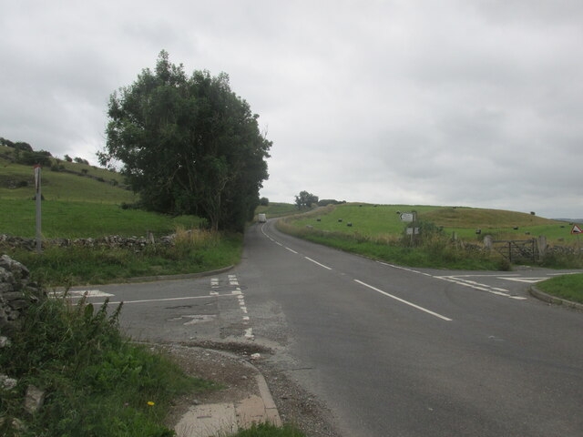
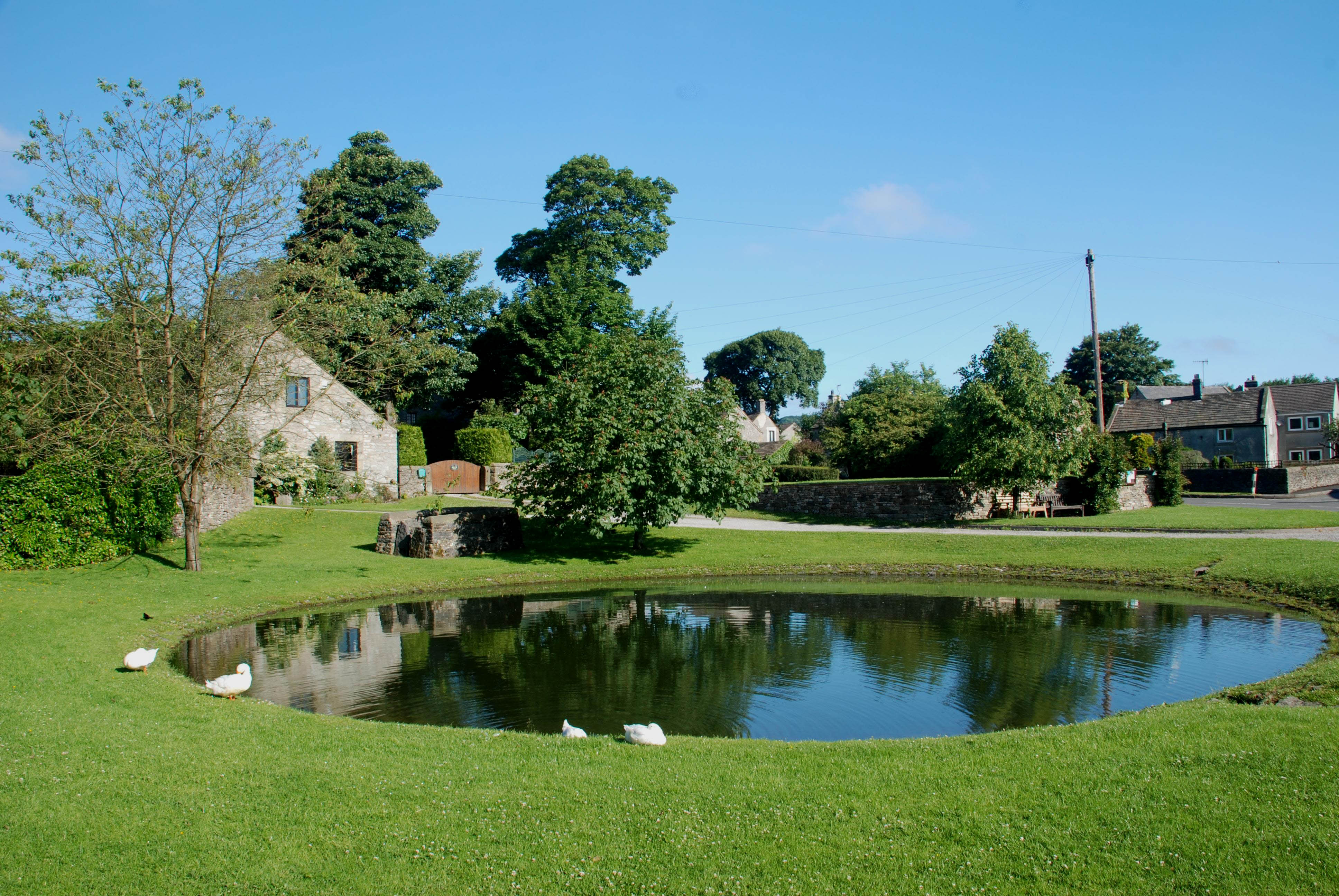
Wardlow Mires is a small rural village located in the Peak District National Park in Derbyshire, England. Situated approximately 8 miles southwest of the market town of Bakewell, it is nestled amidst picturesque rolling hills and scenic landscapes.

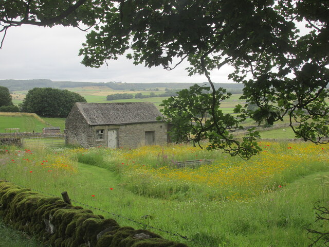
The village itself is characterized by its quaint charm and traditional stone cottages, which give it a timeless appeal. Wardlow Mires is known for its close-knit community and friendly atmosphere, with a population of around 100 residents.

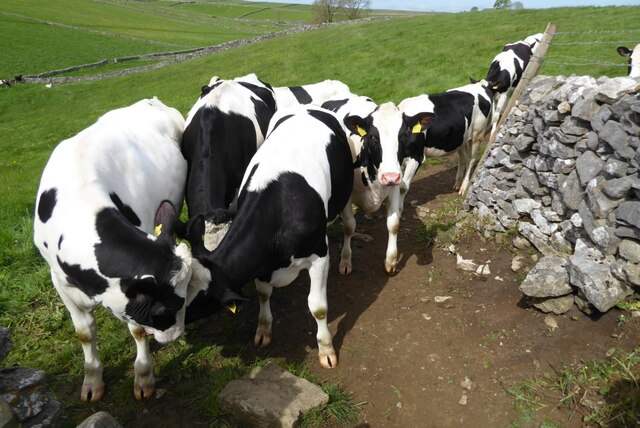
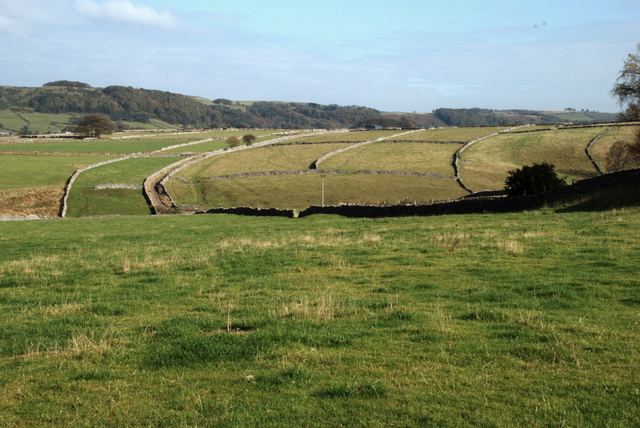
The surrounding area offers a wealth of outdoor activities, making it a popular destination for nature enthusiasts and hikers. The nearby Lathkill Dale, a limestone valley renowned for its natural beauty, provides stunning walking trails along the river and through ancient woodlands. The area is also home to diverse wildlife, including rare species of birds and wildflowers.

Despite its small size, Wardlow Mires boasts a thriving local economy. The village is home to a few independent businesses, including a country pub that serves delicious meals made from locally sourced ingredients. The pub also hosts regular events, attracting visitors from neighboring villages and towns.

Overall, Wardlow Mires is a tranquil and picturesque village that offers a peaceful retreat for those seeking to escape the hustle and bustle of city life. With its natural beauty, friendly community, and proximity to the Peak District, it is a place that encapsulates the quintessential charm of rural England.

If you have any feedback on the listing, please let us know in the comments section below.

Wardlow Mires Images

Images are sourced within 2km of 53.276699/-1.7304291 or Grid Reference SK1875. Thanks to Geograph Open Source API. All images are credited.

Crossroads on the B6465. South of Wardlow.
Crossroads on the B6465.
South of Wardlow.
Barn and wildflower meadow near Hall Farm Wardlow in Derbyshire.
Barn and wildflower meadow near Hall Farm
Wardlow in Derbyshire.
Pastures at Wardlow Mires, Derbyshire Powerlines running towards the village of Foolow.  Viewed from the public footpath between Wardlow Mires and Stanley House Farm.
Pastures at Wardlow Mires, Derbyshire
Powerlines running towards the village of Foolow. Viewed from the public footpath between Wardlow Mires and Stanley House Farm.
Public Footpath by Stanley House Farm, Wardlow, Derbyshire Towards Housley.
Public Footpath by Stanley House Farm, Wardlow, Derbyshire
Towards Housley.
A Stile on the Moors, near Wardlow, Derbyshire A lone timber stile on the public footpath from Longstone Moor towards Housley, in the White Peak, Derbyshire.

Slightly more dilapidated than it was eight years ago in 2013: <a href="https://www.geograph.org.uk/photo/3678940">SK1974 : Forlorn old stiles</a>
A Stile on the Moors, near Wardlow, Derbyshire
A lone timber stile on the public footpath from Longstone Moor towards Housley, in the White Peak, Derbyshire. Slightly more dilapidated than it was eight years ago in 2013: SK1974 : Forlorn old stiles
Dy stone walls near Litton
Footpath through buttercups at Stanley Lodge
Village Cross, Litton A 19th century village cross in the village of Litton.  The cross is Grade II listed, see: <span class="nowrap"><a title="https://historicengland.org.uk/listing/the-list/list-entry/1311324?section=official-list-entry" rel="nofollow ugc noopener" href="https://historicengland.org.uk/listing/the-list/list-entry/1311324?section=official-list-entry">Link</a><img style="margin-left:2px;" alt="External link" title="External link - shift click to open in new window" src="https://s1.geograph.org.uk/img/external.png" width="10" height="10"/></span>  The Red Lion can be seen in the background with a walking group in front just about to set off.
Village Cross, Litton
A 19th century village cross in the village of Litton. The cross is Grade II listed, see: LinkExternal link The Red Lion can be seen in the background with a walking group in front just about to set off.
Village Cross A 19th century village cross in the village of Litton.  The cross is Grade II listed, see: <span class="nowrap"><a title="https://historicengland.org.uk/listing/the-list/list-entry/1311324?section=official-list-entry" rel="nofollow ugc noopener" href="https://historicengland.org.uk/listing/the-list/list-entry/1311324?section=official-list-entry">Link</a><img style="margin-left:2px;" alt="External link" title="External link - shift click to open in new window" src="https://s1.geograph.org.uk/img/external.png" width="10" height="10"/></span>
Village Cross
A 19th century village cross in the village of Litton. The cross is Grade II listed, see: LinkExternal link
Village cross in Litton A 19th century village cross in the village of Litton.  The cross is Grade II listed, see: <span class="nowrap"><a title="https://historicengland.org.uk/listing/the-list/list-entry/1311324?section=official-list-entry" rel="nofollow ugc noopener" href="https://historicengland.org.uk/listing/the-list/list-entry/1311324?section=official-list-entry">Link</a><img style="margin-left:2px;" alt="External link" title="External link - shift click to open in new window" src="https://s1.geograph.org.uk/img/external.png" width="10" height="10"/></span>
Village cross in Litton
A 19th century village cross in the village of Litton. The cross is Grade II listed, see: LinkExternal link
Farmland track A walled track off Church Lane giving access to farmland near Litton.
Farmland track
A walled track off Church Lane giving access to farmland near Litton.
Primary School, Litton Village primary school in Litton.
Primary School, Litton
Village primary school in Litton.
Stocks in Litton Stocks on the green in the village of Litton.  The Red Lion Inn can be seen in the background.
Stocks in Litton
Stocks on the green in the village of Litton. The Red Lion Inn can be seen in the background.
Footpath approaching Litton Footpath crossing a field on its approach to the village of Litton.
Footpath approaching Litton
Footpath crossing a field on its approach to the village of Litton.
Inquisitive cattle Inquisitive cattle at a stile on a footpath near Litton.
Inquisitive cattle
Inquisitive cattle at a stile on a footpath near Litton.
A tree in Tansley Dale A tree in the limestone Peak District above Tansley Dale.
A tree in Tansley Dale
A tree in the limestone Peak District above Tansley Dale.
Footpath in Tansley Dale Footpath in Tansley Dale leading down into Cressbrook Dale.
Footpath in Tansley Dale
Footpath in Tansley Dale leading down into Cressbrook Dale.
Orchid growing in Tansley Dale Orchid growing beside the footpath in Tansley Dale.
Orchid growing in Tansley Dale
Orchid growing beside the footpath in Tansley Dale.
Show me another place!

Wardlow Mires is located at Grid Ref: SK1875 (Lat: 53.276699, Lng: -1.7304291)

Administrative County: Derbyshire

District: Derbyshire Dales

Police Authority: Derbyshire

What 3 Words

///alleges.landowner.eager. Near Tideswell, Derbyshire

Related Wikis

The Three Stags' Heads

The Three Stags' Heads is a Grade II listed public house in Wardlow Mires, Derbyshire, England.On the Campaign for Real Ale's National Inventory of Historic...

Wardlow, Derbyshire

Wardlow is a parish and linear village in the Derbyshire Dales two miles from Tideswell, Derbyshire, England. The population at the 2011 census was 118...

Brosterfield

Brosterfield is a hamlet in Derbyshire, England. It is located close to Foolow, where the road to that village joins the A623 road.

Foolow

Foolow (Old English possibly for "bird hill" or "colourful hill") is a village in the Derbyshire Peak District. == Village centre == The village green...

St Hugh's Church, Foolow

St Hugh's Church, Foolow is a Grade II listed parish church in the Church of England in Foolow, Derbyshire. == History == The church was opened on 17 November...
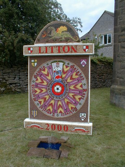
Litton, Derbyshire

Litton is a village and civil parish in the Peak District of Derbyshire, England. The population at the 2011 Census was 675 (including Cressbrook (within...

Grindlow

Grindlow is a farming hamlet of a dozen or so houses that nestles under Hucklow Edge in the Derbyshire Peak District. Although it is a separate civil parish...

Bretton, Derbyshire

Bretton, Derbyshire is a hamlet in Derbyshire, England. Set on a ridge with a panoramic view, it has few inhabitants but boasts a pub called the Barrel...

Nearby Amenities

Located within 500m of 53.276699,-1.7304291
Pub
Three Stags Heads
Addr Postcode: SK17 8RW
Addr Village: Wardlow Mires
Fhrs Id: 1626843
Real Ale: Several from Abbeydale, including "Black Lurcher" house beer
Toilets Wheelchair: no
Wheelchair: no
Wikidata: Q18162323
Wikipedia: en:The Three Stags' Heads
Lat/Long: 53.2771153/-1.730066
Barrier: stile
Material: stone
Source: survey
Steps: 2
Stile: squeezer
Lat/Long: 53.276638/-1.7360489
Barrier: stile
Material: stone
Stile: squeezer
Lat/Long: 53.2771318/-1.7329059
Description: Beware of the guinea pig
Tourism: sign
Lat/Long: 53.2769769/-1.7301139
Barrier: stile
Steps: 2
Stile: wall
Lat/Long: 53.2789796/-1.7311195
Barrier: stile
Steps: 2
Stile: wall
Lat/Long: 53.280618/-1.7321287
Wardlow Mires
Place: hamlet
Lat/Long: 53.2769387/-1.7302559
Barrier: kissing_gate
Source: survey;gps
Lat/Long: 53.276805/-1.7313589
Power: pole
Lat/Long: 53.2798023/-1.7343479
Power: pole
Lat/Long: 53.2791078/-1.7337604
Power: pole
Lat/Long: 53.2788682/-1.7370063
Power: pole
Lat/Long: 53.2791145/-1.7357097
Power: pole
Lat/Long: 53.2788063/-1.7344425
Power: pole
Lat/Long: 53.2784443/-1.7331864
Power: pole
Lat/Long: 53.2780782/-1.7318314
Power: pole
Lat/Long: 53.2792585/-1.7352438
Power: pole
Lat/Long: 53.2789126/-1.7337492
Power: pole
Lat/Long: 53.2786771/-1.732653
Power: pole
Lat/Long: 53.2783487/-1.7313699
Power: pole
Lat/Long: 53.279027/-1.7299428
Power: pole
Lat/Long: 53.279708/-1.7283402
Power: pole
Lat/Long: 53.2802814/-1.7270751
Bus Stop
Wardlow Mires
Bench: no
Bin: no
Bus: yes
Naptan AtcoCode: 100000018745
Naptan NaptanCode: dbsgpmtm
Public Transport: platform
Shelter: no
Lat/Long: 53.2768042/-1.7306681
Bus Stop
Wardlow Mires
Bench: no
Bin: no
Bus: yes
Public Transport: platform
Shelter: no
Lat/Long: 53.2767701/-1.7304247
Wardlow Mires
Bus: yes
Public Transport: stop_position
Lat/Long: 53.2768179/-1.7305689
Wardlow Mires
Bus: yes
Public Transport: stop_position
Lat/Long: 53.2767583/-1.7304839
Bus Stop
Wardlow Mires
Bench: no
Bin: no
Bus: yes
Naptan AtcoCode: 1000DWMA3076
Naptan NaptanCode: dbsdmpwm
Public Transport: platform
Shelter: no
Tactile Paving: no
Lat/Long: 53.2771954/-1.7291906
Bus Stop
Wardlow Mires
Bench: no
Bin: no
Bus: yes
Public Transport: platform
Shelter: no
Tactile Paving: no
Lat/Long: 53.2771245/-1.7290057
Wardlow Mires
Bus: yes
Public Transport: stop_position
Lat/Long: 53.2771413/-1.7291839
Wardlow Mires
Bus: yes
Public Transport: stop_position
Lat/Long: 53.2771574/-1.7290277
Generator Method: photovoltaic
Generator Output Electricity: yes
Generator Source: solar
Generator Type: solar_photovoltaic_panel
Location: roof
Power: generator
Lat/Long: 53.2724258/-1.7300619
Power: pole
Lat/Long: 53.2770556/-1.7295112
Power: pole
Lat/Long: 53.2768158/-1.7290203
Power: pole
Lat/Long: 53.2761317/-1.7285201
Power: pole
Lat/Long: 53.2754469/-1.7280279
Power: pole
Lat/Long: 53.2746494/-1.7276075
Power: pole
Lat/Long: 53.2738526/-1.7271696
Power: pole
Lat/Long: 53.2730615/-1.7267592
Barrier: entrance
Lat/Long: 53.2766058/-1.7327956
The data included in this document is from www.openstreetmap.org. The data is made available under ODbL.

Have you been to Wardlow Mires?

Leave your review of Wardlow Mires below (or comments, questions and feedback).