Bog Green

Settlement in Yorkshire

England

Bog Green

Path off the Calder Valley Greenway, Colne Bridge This leads down from the eastern end of Bradley Viaduct into woodland next to the River Colne.
Path off the Calder Valley Greenway, Colne Bridge Credit: Humphrey Bolton

The requested URL returned error: 429 Too Many Requests

If you have any feedback on the listing, please let us know in the comments section below.
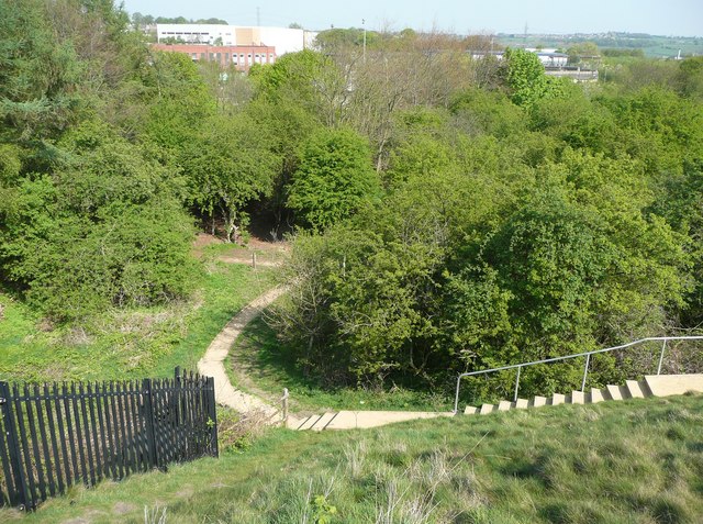
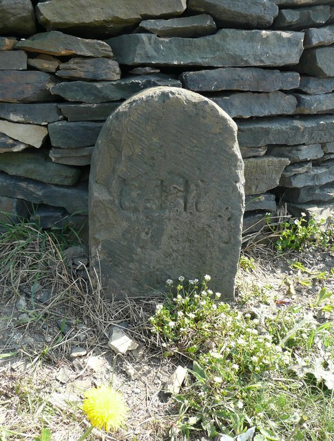
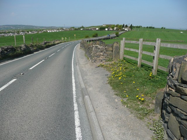
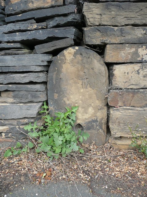
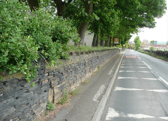
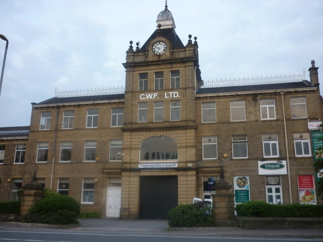
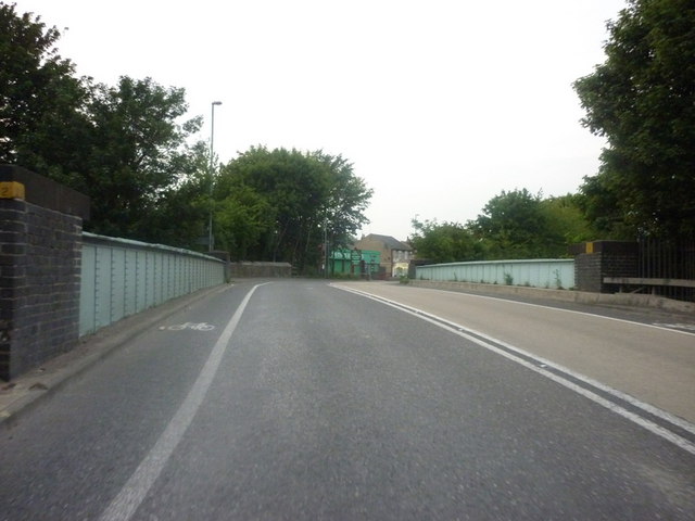
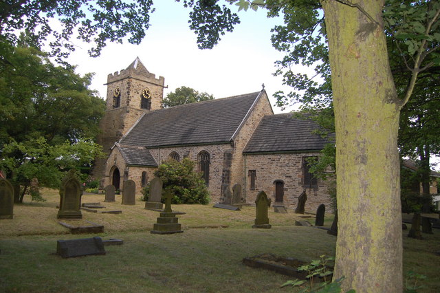
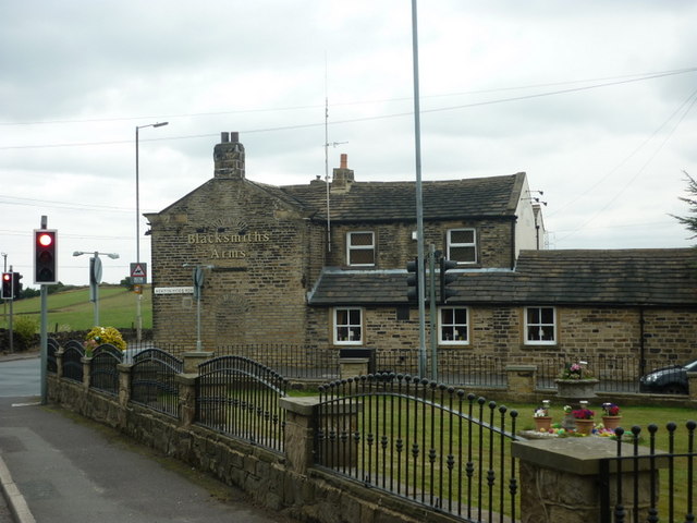
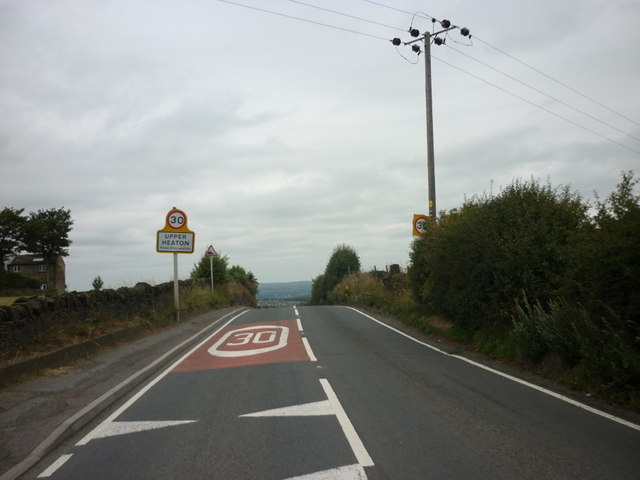
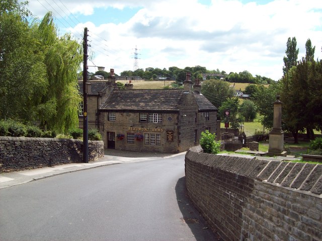
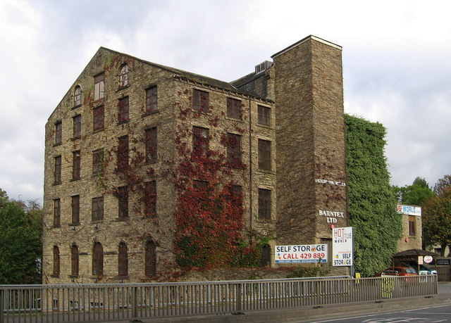
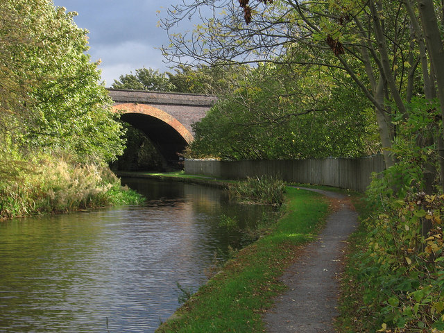
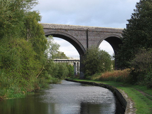
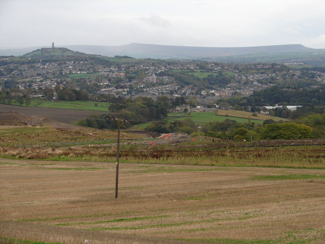
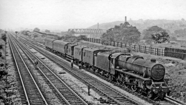
Bog Green Images

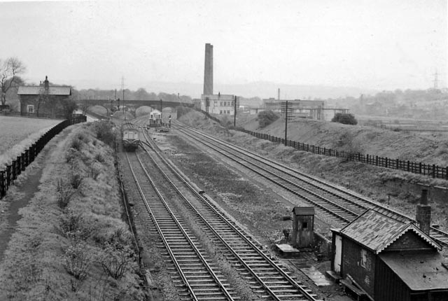
Images are sourced within 2km of 53.667173/-1.7290506 or Grid Reference SE1819. Thanks to Geograph Open Source API. All images are credited.

Path off the Calder Valley Greenway, Colne Bridge This leads down from the eastern end of Bradley Viaduct into woodland next to the River Colne.
Path off the Calder Valley Greenway, Colne Bridge
This leads down from the eastern end of Bradley Viaduct into woodland next to the River Colne.
Looks like a boundary stone, Highgate Lane, Kirkheaton The boundary between Kirkheaton and Mirfield is 100m away to the north-east, so what is this? It has a worn inscription, and could be an estate boundary stone or an electric cable marker stone.
Looks like a boundary stone, Highgate Lane, Kirkheaton
The boundary between Kirkheaton and Mirfield is 100m away to the north-east, so what is this? It has a worn inscription, and could be an estate boundary stone or an electric cable marker stone.
Highgate Lane. Kirkheaton The Blacksmith's Arms crossroads is in the distance. The stone shown in <a href="https://www.geograph.org.uk/photo/2368166">SE1818 : Looks like a boundary stone, Highgate Lane, Kirkheaton</a> is on the right.
Highgate Lane. Kirkheaton
The Blacksmith's Arms crossroads is in the distance. The stone shown in SE1818 : Looks like a boundary stone, Highgate Lane, Kirkheaton is on the right.
Shaped stone, Hollin Hall lane, Hopton Not a boundary stone, as it is not on a former local authority boundary. It might be a marker stone for a cable or pipeline.
Shaped stone, Hollin Hall lane, Hopton
Not a boundary stone, as it is not on a former local authority boundary. It might be a marker stone for a cable or pipeline.
Shaped stone, Hollin Hall lane, Hopton Not a boundary stone, as it is not on a former local authority boundary. It might be a marker stone for a cable or pipeline. See <a href="https://www.geograph.org.uk/photo/2418366">SE1818 : Shaped stone, Hollin Hall lane, Hopton</a> for a close view.
Shaped stone, Hollin Hall lane, Hopton
Not a boundary stone, as it is not on a former local authority boundary. It might be a marker stone for a cable or pipeline. See SE1818 : Shaped stone, Hollin Hall lane, Hopton for a close view.
60009 Union of South Africa Pictured is the preserved class A4 Pacific steam locomotive 60009 "Union of South Africa" hauling the very popular steam tour from Crewe to Scarborough  aptly named "The Scarborough Flyer". This locomotive was built in 1937 and was used in service on the London to Edinburgh main east coast line. Pictured on the 22nd August 2008 at Bradley in West Yorkshire in her popular preserved roll of steam specials.
60009 Union of South Africa
Pictured is the preserved class A4 Pacific steam locomotive 60009 "Union of South Africa" hauling the very popular steam tour from Crewe to Scarborough aptly named "The Scarborough Flyer". This locomotive was built in 1937 and was used in service on the London to Edinburgh main east coast line. Pictured on the 22nd August 2008 at Bradley in West Yorkshire in her popular preserved roll of steam specials.
Continental Food & Drink on Leeds Road
The A62 Leeds Road goes over rail lines at Deighton
St John's Church, Hopton
The Blacksmiths Arms, on Heaton Moor Road
Entering Upper Heaton, West Yorkshire
Church Lane and the Beaumont Arms, Kirkheaton Village pub situated opposite the parish church, the cemetery of which can be partially seen on the right of picture. The pub (known locally as the Kirk Stile) has various historical links with local law enforcement, having served as a courthouse, lock-up and base for a local 'Prosecution Society'. Today it is a Joshua Tetley Heritage Pub and I'd recommend it.
Church Lane and the Beaumont Arms, Kirkheaton
Village pub situated opposite the parish church, the cemetery of which can be partially seen on the right of picture. The pub (known locally as the Kirk Stile) has various historical links with local law enforcement, having served as a courthouse, lock-up and base for a local 'Prosecution Society'. Today it is a Joshua Tetley Heritage Pub and I'd recommend it.
Deighton - Mills For an alternative view, please see <a href="https://www.geograph.org.uk/photo/737959">SE1619 : Deighton Mill</a>.
Deighton - Mills
For an alternative view, please see SE1619 : Deighton Mill.
Deighton - Huddersfield Canal to west of railway bridge Not a lot has changed since Dr Neil Clifton's 1996 photo at <a href="https://www.geograph.org.uk/photo/789266">SE1619 : Old LNWR railway bridge over the Huddersfield Broad Canal</a>.
Deighton - Huddersfield Canal to west of railway bridge
Not a lot has changed since Dr Neil Clifton's 1996 photo at SE1619 : Old LNWR railway bridge over the Huddersfield Broad Canal.
Deighton - viaduct over canal For an alternative view, please see <a href="https://www.geograph.org.uk/photo/95233">SE1719 : Viaduct (disused) crossing the Huddersfield Broad Canal</a>.
Deighton - viaduct over canal
View from Bellstring Lane Looking across the fields towards Fenay Bridge on the outskirts of Huddersfield.  The tower on the horizon to the left is Victoria Tower on Castle Hill <a href="https://www.geograph.org.uk/photo/2473">SE1514 : Castle Hill, Huddersfield</a>.
View from Bellstring Lane
Looking across the fields towards Fenay Bridge on the outskirts of Huddersfield. The tower on the horizon to the left is Victoria Tower on Castle Hill SE1514 : Castle Hill, Huddersfield.
Eastbound parcels train on Calder Valley main line at Mirfield View westward, towards Manchester via either Sowerby Bridge and Todmorden (ex-L&Y line) or via Huddersfield (ex-LNW line). This was a very busy four-track main line, connecting eastward with Leeds, Wakefield etc., on which a unique installation of multiple-aspect signalling ('Speed Signalling') was employed between Heaton Lodge and Thornhill Junctions from 1932 until 1969. The train is headed by Stanier 5MT 4-6-0 No. 45246 (built 1936, withdrawn 12/67). The viaduct carrying the ex-LNW Spen Valley line (Huddersfield)- Bradley - Leeds)(finally closed 11/65) can be seen in the background. Note the men 'patrolling the line'. (See other views at Mirfield).
Eastbound parcels train on Calder Valley main line at Mirfield
View westward, towards Manchester via either Sowerby Bridge and Todmorden (ex-L&Y line) or via Huddersfield (ex-LNW line). This was a very busy four-track main line, connecting eastward with Leeds, Wakefield etc., on which a unique installation of multiple-aspect signalling ('Speed Signalling') was employed between Heaton Lodge and Thornhill Junctions from 1932 until 1969. The train is headed by Stanier 5MT 4-6-0 No. 45246 (built 1936, withdrawn 12/67). The viaduct carrying the ex-LNW Spen Valley line (Huddersfield)- Bradley - Leeds)(finally closed 11/65) can be seen in the background. Note the men 'patrolling the line'. (See other views at Mirfield).
Leeds - Manchester stopping train passing Mirfield Locomotive Depot View eastward, towards Mirfield, Leeds, Wakefield etc.: Calder Valley main line, ex-L&Y and LNW Joint four-track stretch (Heaton Lodge - Thornhill Junctions). The 13.15 Leeds City - Manchester Exchange, headed by Stanier 'Jubilee' 6P 4-6-0 No. 45704 'Leviathan' (built 5/36, withdrawn 1/65), is being passed by an eastbound empties train on the right. On the left outside the Shed is one of the LMS Fowler 7F 0-8-0s which worked much of the intensive east-west coal traffic until scores of ex-WD 2-8-0s were brought to the district. In 1950 Mirfield (code 25D) had an allocation of 40 locomotives:- 12 (ex-WD) 2-8-0, 3 2-6-0, 6 0-8-0, 11 0-6-0, 6 2-6-4T and 2 0-6-0T.
Leeds - Manchester stopping train passing Mirfield Locomotive Depot
View eastward, towards Mirfield, Leeds, Wakefield etc.: Calder Valley main line, ex-L&Y and LNW Joint four-track stretch (Heaton Lodge - Thornhill Junctions). The 13.15 Leeds City - Manchester Exchange, headed by Stanier 'Jubilee' 6P 4-6-0 No. 45704 'Leviathan' (built 5/36, withdrawn 1/65), is being passed by an eastbound empties train on the right. On the left outside the Shed is one of the LMS Fowler 7F 0-8-0s which worked much of the intensive east-west coal traffic until scores of ex-WD 2-8-0s were brought to the district. In 1950 Mirfield (code 25D) had an allocation of 40 locomotives:- 12 (ex-WD) 2-8-0, 3 2-6-0, 6 0-8-0, 11 0-6-0, 6 2-6-4T and 2 0-6-0T.
Show me another place!

Bog Green is located at Grid Ref: SE1819 (Lat: 53.667173, Lng: -1.7290506)

Division: West Riding

Unitary Authority: Kirklees

Police Authority: West Yorkshire

What 3 Words

///filer.shot.parks. Near Mirfield, West Yorkshire

Related Wikis

Colne Bridge

Colne Bridge (English: ) is an historic 18th-century bridge near Huddersfield, West Yorkshire, England. A Grade II listed stone-built arch bridge, it...

Bradley railway station

Bradley railway station served the district of Bradley, West Yorkshire, England until closure in 1950. == History == Bradley station was opened in 1847...

Kirkheaton

Kirkheaton (English: ) is a village in the parish of Kirkburton, in the Kirklees district of West Yorkshire, England, Historically, it is part of the West...

Colne Bridge Mill

Colne Bridge Mill (English: ) was a factory, built in 1775, in the village of Colne Bridge near Bradley and Kirkheaton, Huddersfield, West Yorkshire, England...

Nearby Amenities

Located within 500m of 53.667173,-1.7290506
Bus Stop
New Road Upper Heaton Lane
Local Ref: 45020605
Naptan AtcoCode: 450020605
Naptan Bearing: NE
Naptan CommonName: New Road Upper Heaton Lane
Naptan Crossing: Upper Heaton Lane
Naptan Indicator: Stop 45020605
Naptan Notes: OSR taken place 231105
Naptan PlusbusZoneRef: LEEDS
Naptan ShortCommonName: Upper Heaton Lane
Naptan Street: New Road
Naptan Verified: no
Shelter: yes
Source: naptan_import
Lat/Long: 53.667154/-1.7329704
Bus Stop
Moorside Road Deganwy Drive
Local Ref: 45025923
Naptan AtcoCode: 450025923
Naptan Bearing: S
Naptan CommonName: Moorside Road Deganwy Drive
Naptan Crossing: Deganwy Drive
Naptan Indicator: Stop 45025923
Naptan PlusbusZoneRef: LEEDS
Naptan ShortCommonName: Deganwy Drive
Naptan Street: Moorside Road
Naptan Verified: no
Source: naptan_import
Lat/Long: 53.6642023/-1.7274197
Upper Heaton Lane
Local Ref: 45050973
Naptan AtcoCode: 450050973
Naptan Bearing: SW
Naptan BusStopType: CUS
Naptan CommonName: Upper Heaton Lane
Naptan Indicator: Stop 45050973
Naptan PlusbusZoneRef: LEEDS
Naptan ShortCommonName: Upper Heaton Lane
Naptan Street: New Road
Naptan Verified: no
Source: naptan_import
Lat/Long: 53.6671089/-1.7328799
Upper Heaton
Is In: Kirklees, West Yorkshire, UK
Place: hamlet
Lat/Long: 53.6675844/-1.7330713
Bus Stop
New Road Ryedale
Local Ref: 45020604
Naptan AtcoCode: 450020604
Naptan Bearing: N
Naptan CommonName: New Road Ryedale
Naptan Crossing: Ryedale
Naptan Indicator: Stop 45020604
Naptan PlusbusZoneRef: LEEDS
Naptan ShortCommonName: Ryedale
Naptan Street: New Road
Naptan Verified: no
Source: naptan_import
Lat/Long: 53.6630393/-1.7320234
Barrier: stile
Source: survey
Lat/Long: 53.666942/-1.7333006
Waste Basket
Source: survey
Lat/Long: 53.663941/-1.7325571
Generator Method: photovoltaic
Generator Output Electricity: yes
Generator Source: solar
Generator Type: solar_photovoltaic_panel
Location: roof
Power: generator
Lat/Long: 53.6634219/-1.7250449
Generator Method: photovoltaic
Generator Output Electricity: yes
Generator Source: solar
Generator Type: solar_photovoltaic_panel
Location: roof
Power: generator
Lat/Long: 53.663158/-1.7309672
Generator Method: photovoltaic
Generator Output Electricity: yes
Generator Source: solar
Generator Type: solar_photovoltaic_panel
Location: roof
Power: generator
Lat/Long: 53.6630627/-1.7312998
Generator Method: photovoltaic
Generator Output Electricity: yes
Generator Source: solar
Generator Type: solar_photovoltaic_panel
Location: roof
Power: generator
Lat/Long: 53.6633202/-1.7314554
Generator Method: photovoltaic
Generator Output Electricity: yes
Generator Source: solar
Generator Type: solar_photovoltaic_panel
Location: roof
Power: generator
Lat/Long: 53.6633345/-1.7313722
Generator Method: photovoltaic
Generator Output Electricity: yes
Generator Source: solar
Generator Type: solar_photovoltaic_panel
Location: roof
Power: generator
Lat/Long: 53.6636094/-1.7315171
Generator Method: photovoltaic
Generator Output Electricity: yes
Generator Source: solar
Generator Type: solar_photovoltaic_panel
Location: roof
Power: generator
Lat/Long: 53.6639797/-1.7311335
Generator Method: photovoltaic
Generator Output Electricity: yes
Generator Source: solar
Generator Type: solar_photovoltaic_panel
Location: roof
Power: generator
Lat/Long: 53.6641211/-1.7305193
Generator Method: photovoltaic
Generator Output Electricity: yes
Generator Source: solar
Generator Type: solar_photovoltaic_panel
Location: roof
Power: generator
Lat/Long: 53.6645216/-1.7279176
Generator Method: photovoltaic
Generator Output Electricity: yes
Generator Source: solar
Generator Type: solar_photovoltaic_panel
Location: roof
Power: generator
Lat/Long: 53.6636793/-1.7296047
Man Made: survey_point
Lat/Long: 53.6657188/-1.7250193
Barrier: stile
Lat/Long: 53.6681884/-1.7350434
Barrier: stile
Lat/Long: 53.6683842/-1.7344802
Generator Method: photovoltaic
Generator Output Electricity: yes
Generator Source: solar
Generator Type: solar_photovoltaic_panel
Power: generator
Lat/Long: 53.6684024/-1.7324777
The data included in this document is from www.openstreetmap.org. The data is made available under ODbL.

Have you been to Bog Green?

Leave your review of Bog Green below (or comments, questions and feedback).