North Moor
Settlement in Yorkshire
England
North Moor
North Moor is a picturesque village located in the county of Yorkshire in England. Situated on the northern edge of the magnificent North York Moors National Park, it is renowned for its stunning natural beauty and tranquil atmosphere. The village is nestled amidst rolling hills and vast stretches of heather moorland, offering visitors breathtaking views of the surrounding countryside.
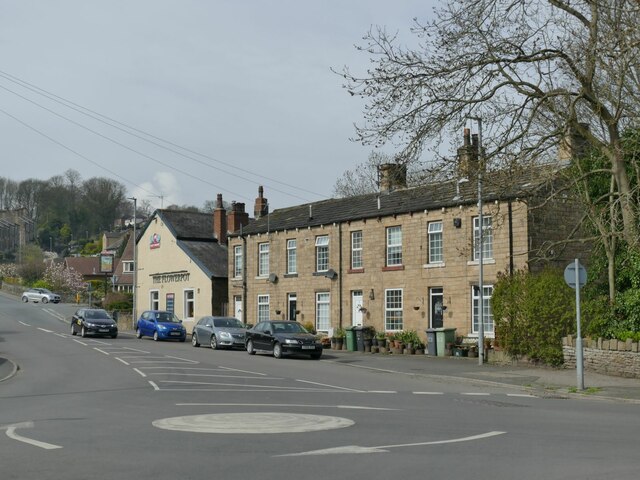
Characterized by its charming stone cottages and traditional architecture, North Moor exudes a sense of timeless charm. The village is home to a close-knit community, with a population of around 500 residents. The locals take pride in their heritage and actively participate in preserving the village's historic character.
The village is known for its thriving agricultural industry, with many residents engaged in farming and livestock rearing. The fertile lands surrounding North Moor are used for grazing sheep and cattle, contributing to the rural ambiance of the area. Additionally, a few small businesses, including local shops and cafes, cater to the needs of both residents and tourists.
Nature enthusiasts are drawn to North Moor due to its proximity to the North York Moors National Park. The park offers an abundance of outdoor activities, including hiking, cycling, and birdwatching. Visitors can explore the various walking trails that wind through the park, immersing themselves in the stunning landscapes and diverse wildlife.
North Moor is a hidden gem within Yorkshire, offering a peaceful and idyllic escape from the hustle and bustle of modern life. Whether it's the breathtaking vistas, the warm community spirit, or the proximity to nature, this village undoubtedly leaves a lasting impression on all who visit.
If you have any feedback on the listing, please let us know in the comments section below.
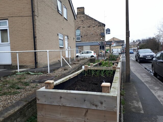
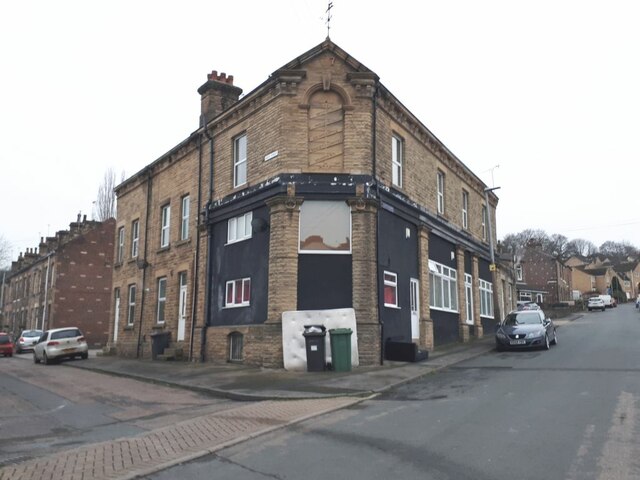
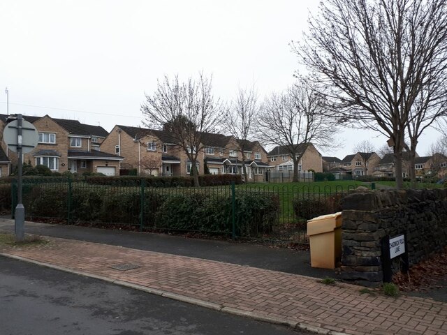
North Moor Images
Images are sourced within 2km of 53.668846/-1.716325 or Grid Reference SE1819. Thanks to Geograph Open Source API. All images are credited.

North Moor is located at Grid Ref: SE1819 (Lat: 53.668846, Lng: -1.716325)
Division: West Riding
Unitary Authority: Kirklees
Police Authority: West Yorkshire
What 3 Words
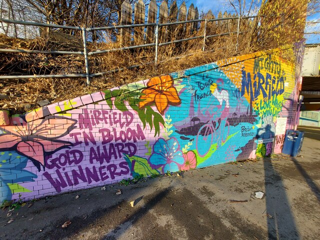
///circle.gallons.fled. Near Mirfield, West Yorkshire
Nearby Locations
Related Wikis

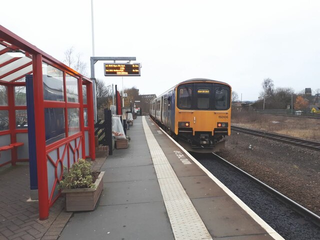
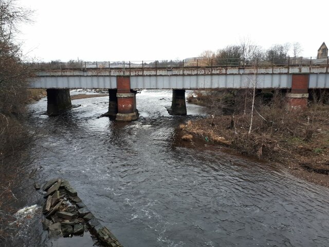
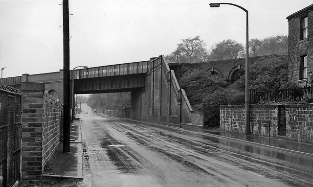
Heaton Lodge railway station
Heaton Lodge railway station co-served the suburb of Bradley, Huddersfield, in the historical county of West Riding of Yorkshire, England, from 1847 to...
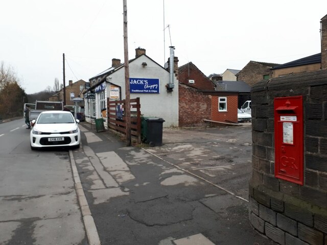
Battyeford railway station
Battyeford railway station served the village of Battyeford in West Yorkshire, England. == History == Built by the London and North Western Railway and...

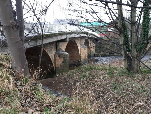
Ledgard Bridge
Ledgard Bridge crosses the River Calder in Mirfield, West Yorkshire, England. It was built in 1800 as a replacement for an earlier bridge in the same location...

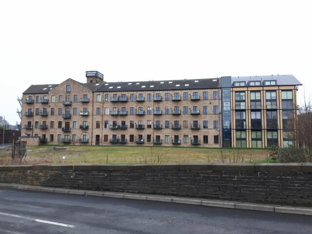
Battyeford
Battyeford is a village in West Yorkshire, England west of the town of Mirfield. == History == From 1900 to 1953 the village was served by Battyeford railway...
Nearby Amenities
Located within 500m of 53.668846,-1.716325Have you been to North Moor?
Leave your review of North Moor below (or comments, questions and feedback).