Kirklees Park
Downs, Moorland in Yorkshire
England
Kirklees Park
Kirklees Park is a vast and picturesque area located in the county of Yorkshire, England. Known for its stunning landscapes, the park encompasses a combination of downs and moorland, offering visitors a diverse and captivating natural environment to explore.
Covering an expansive area, Kirklees Park is home to rolling hills, lush green meadows, and wide open spaces, making it a haven for nature enthusiasts and outdoor adventurers. The park's downs are characterized by their gentle slopes and expansive grassland, providing a perfect setting for leisurely walks or picnics amidst breathtaking scenery.
In addition to its downs, Kirklees Park also boasts extensive moorland, which adds a rugged and wild element to the landscape. Moorland areas are characterized by their wet and peat-rich soil, heather-covered hills, and scattered clusters of trees. This unique combination of downs and moorland creates a diverse habitat that supports a variety of plant and animal species.
Visitors to Kirklees Park can enjoy a range of activities, including hiking, cycling, birdwatching, and wildlife spotting. The park's well-maintained trails offer panoramic views of the surrounding countryside, and its tranquil atmosphere provides a peaceful escape from the hustle and bustle of city life.
Overall, Kirklees Park is a natural treasure in Yorkshire, offering visitors a chance to immerse themselves in the beauty and tranquility of the downs and moorland landscapes. Whether seeking adventure or simply a place to unwind, this picturesque park is a must-visit destination for nature lovers and outdoor enthusiasts.
If you have any feedback on the listing, please let us know in the comments section below.
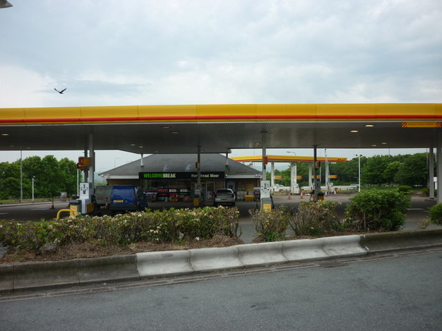
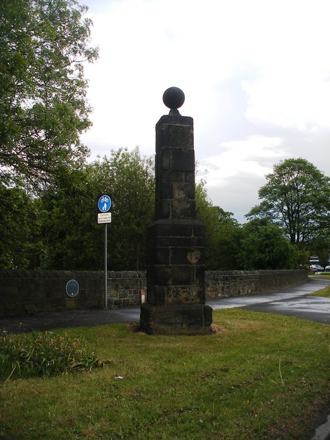
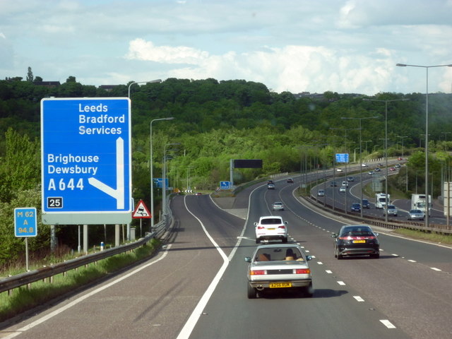
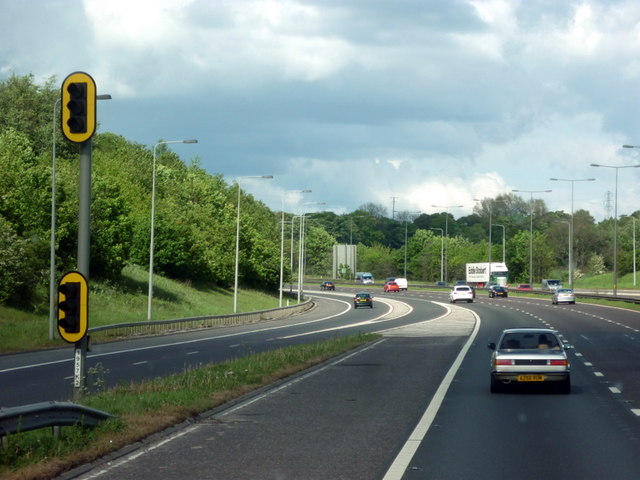
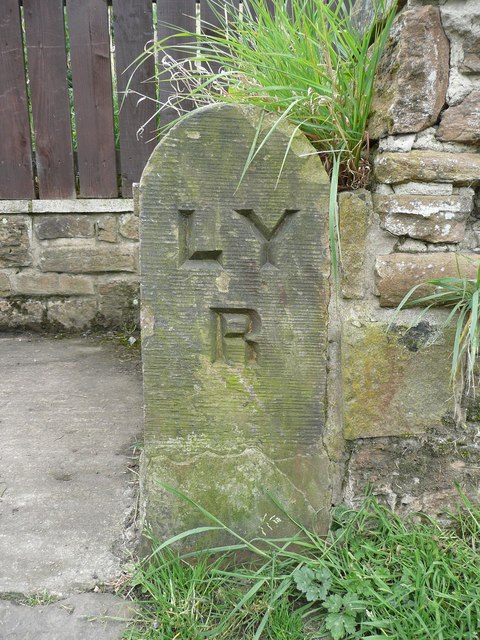
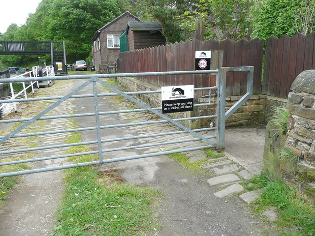
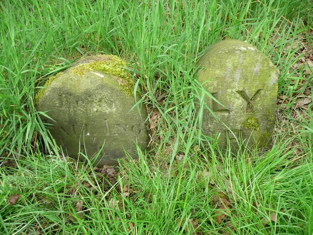
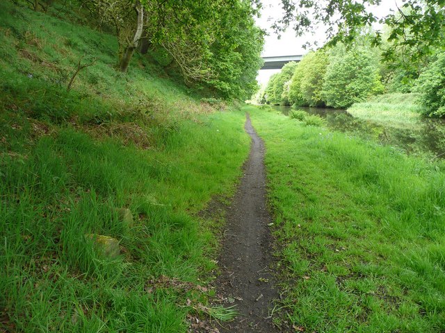
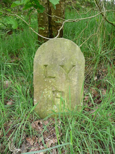
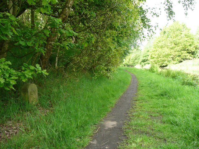
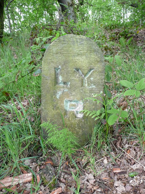
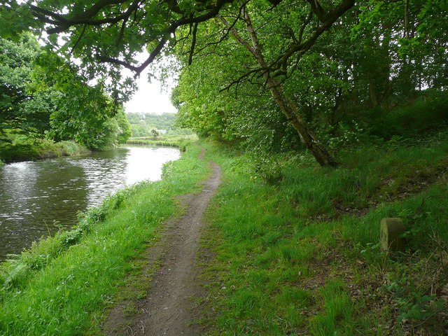
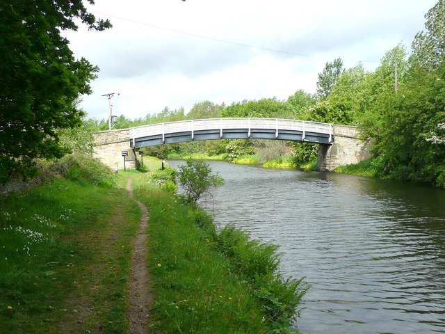
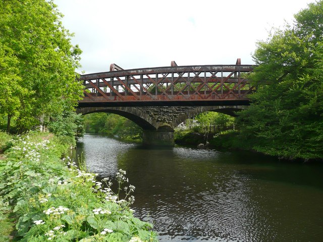
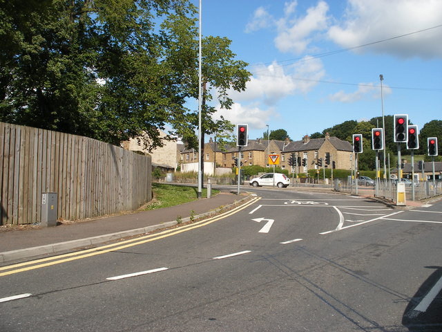
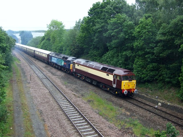
Kirklees Park Images
Images are sourced within 2km of 53.694728/-1.739778 or Grid Reference SE1722. Thanks to Geograph Open Source API. All images are credited.
Kirklees Park is located at Grid Ref: SE1722 (Lat: 53.694728, Lng: -1.739778)
Division: West Riding
Unitary Authority: Calderdale
Police Authority: West Yorkshire
What 3 Words
///blows.tested.punch. Near Brighouse, West Yorkshire
Nearby Locations
Related Wikis
Kirklees Priory
Kirklees Priory was a Cistercian nunnery whose site is in the present-day Kirklees Park, Clifton near Brighouse, Calderdale, West Yorkshire, England. It...
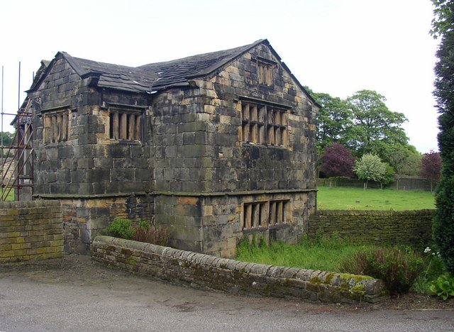
Kirklees Hall
Kirklees Hall is a 16th-century Grade I listed Jacobean hall, close to the English village of Clifton in Calderdale, West Yorkshire. The first evidence...

Robin Hood's Grave
Robin Hood's Grave is the name given to a monument in Kirklees Park Estate, West Yorkshire, England, near the now-ruined Kirklees Priory. It is alleged...

Hartshead
Hartshead is a village in the Kirklees district of West Yorkshire, England, 3.7 miles (6 km) west of Dewsbury and near to Hartshead Moor.The village has...

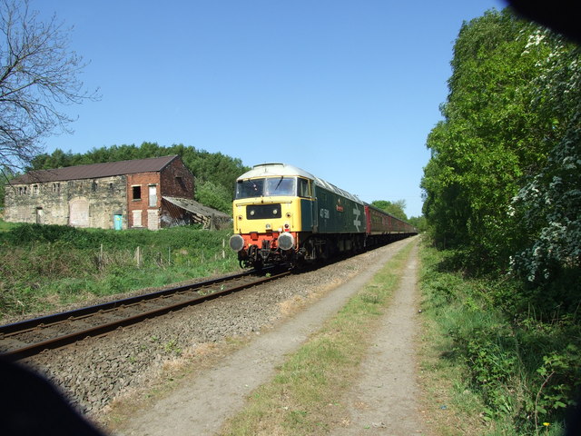
Cooper Bridge railway station
Cooper Bridge was a railway station built by the Manchester and Leeds Railway to serve the town of Huddersfield in West Yorkshire, England. == History... ==
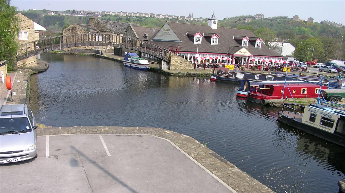
Huddersfield Broad Canal
The Huddersfield Broad Canal or Sir John Ramsden's Canal, is a wide-locked navigable canal in West Yorkshire in northern England. The waterway is 3.75...

Beggarington
Beggarington, also known as Beggerington and Begerington is a hamlet consisting of a few houses about 0.4 miles (0.6 km) north of Hartshead in Kirklees...

Clifton, West Yorkshire
Clifton is a village on the eastern outskirts of Brighouse in the Calderdale district of West Yorkshire, England. == History == Clifton is mentioned as...
Related Videos

Welcome to hell...the good old British summer holiday
Please support my Patreon music campaign... https://www.patreon.com/tonylongworth Subscribe to my official YouTube channel...

WETHERSPOONS FULL ENGLISH BREAKFAST - Is it all hype ??? - Food Review - WETHERSPOONS WEEK - Day 3
WETHERSPOONS FULL ENGLISH BREAKFAST - Is it all hype ??? - Food Review - WETHERSPOONS WEEK - Day 3 ...

WETHERSPOONS CURRY CLUB - Chicken Tikka Masala with Basmati Rice, Naan Bread WETHERSPOONS WEEK DAY 4
WETHERSPOONS CURRY CLUB - Chicken Tikka Masala with Basmati Rice, Naan Bread WETHERSPOONS WEEK DAY 4 ...
Walking the Way 1st May 2020 God are you there
Today is the 1st of May 2020. Welcome to Walking the Way. My name is Ray and I really want to say thank you to everyone for ...
Nearby Amenities
Located within 500m of 53.694728,-1.739778Have you been to Kirklees Park?
Leave your review of Kirklees Park below (or comments, questions and feedback).