Lawn Wood
Wood, Forest in Yorkshire
England
Lawn Wood
Lawn Wood is a picturesque forest located in the beautiful county of Yorkshire, England. Covering an area of approximately 100 acres, this woodland is known for its lush greenery, diverse wildlife, and tranquil atmosphere.
The forest is predominantly made up of deciduous trees, including oak, beech, and ash, which create a stunning canopy of foliage during the spring and summer months. Walking along the well-maintained trails, visitors can enjoy the peacefulness of the surroundings and the enchanting sound of birdsong.
Lawn Wood is a haven for wildlife enthusiasts, as it provides a habitat for a wide range of animals and birds. Nature lovers may be lucky enough to spot deer, foxes, badgers, and a variety of bird species, including woodpeckers and owls.
In addition to its natural beauty, Lawn Wood also offers recreational activities for visitors. There are designated picnic areas where families and friends can gather for a leisurely lunch amidst the tranquil setting. The forest also features a children's playground, allowing younger visitors to burn off energy while enjoying the great outdoors.
Lawn Wood is easily accessible, with ample parking facilities and well-marked trails for walking and cycling. The forest is open to the public year-round, providing a peaceful retreat for locals and tourists alike.
Overall, Lawn Wood in Yorkshire is a true gem, offering a serene escape from the hustle and bustle of everyday life. Whether one seeks a relaxing stroll, a wildlife encounter, or a family outing, this enchanting forest provides a memorable experience for all who visit.
If you have any feedback on the listing, please let us know in the comments section below.
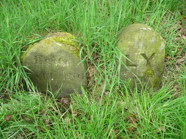
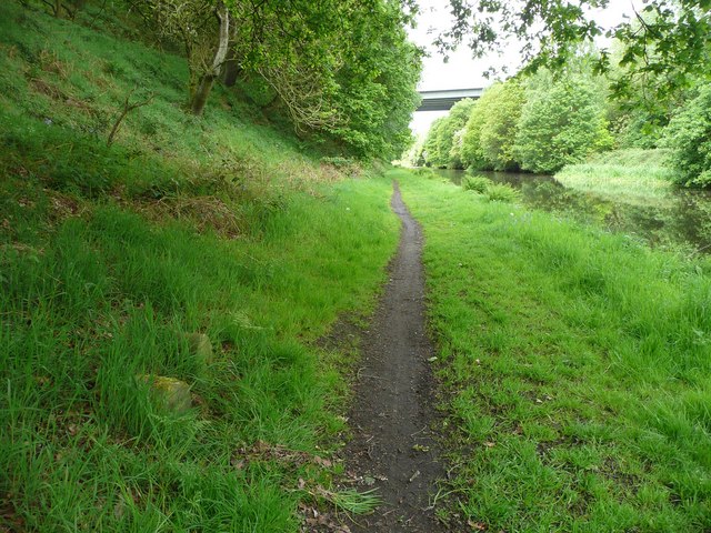
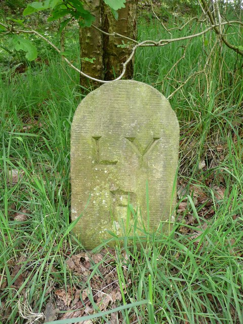
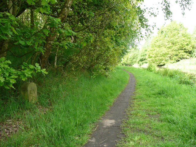
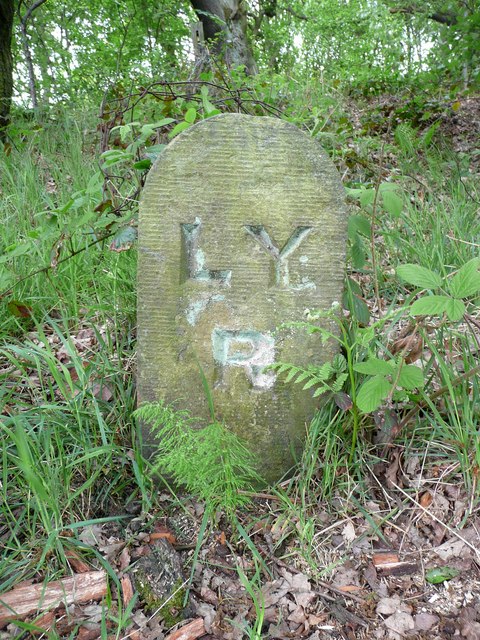
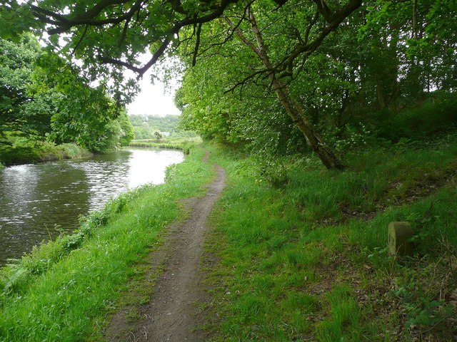
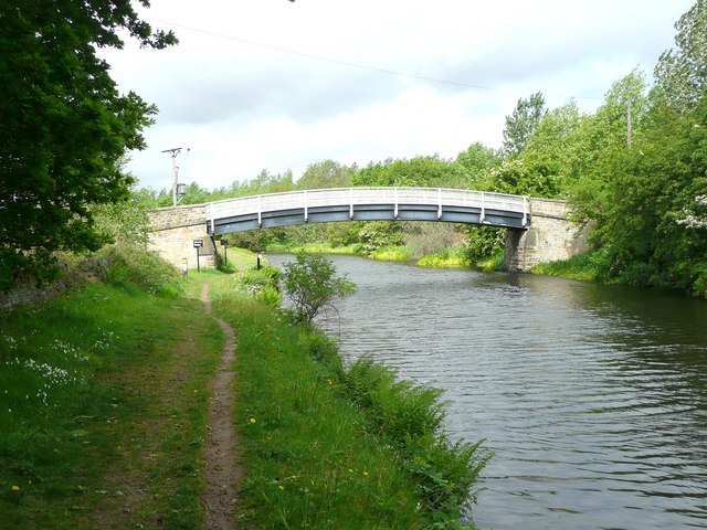
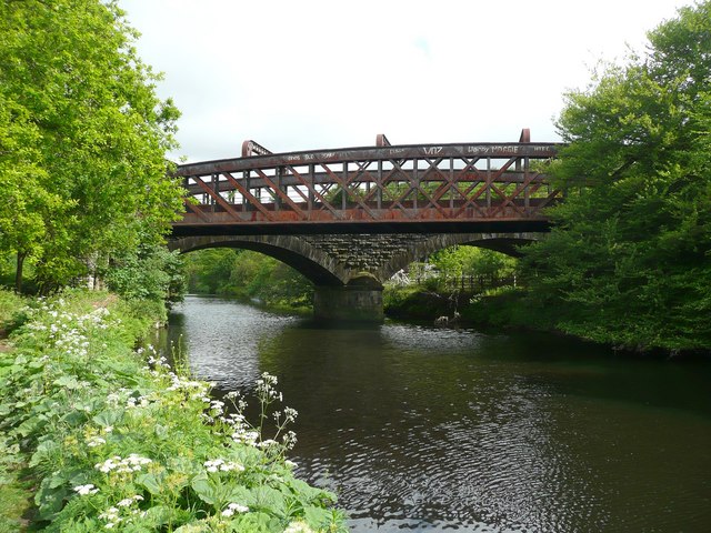
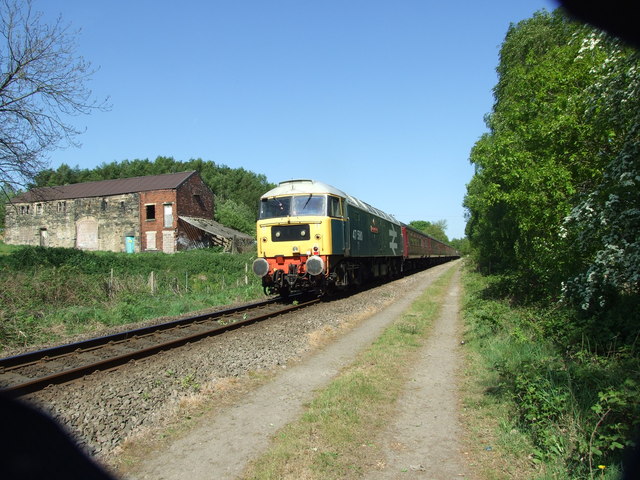
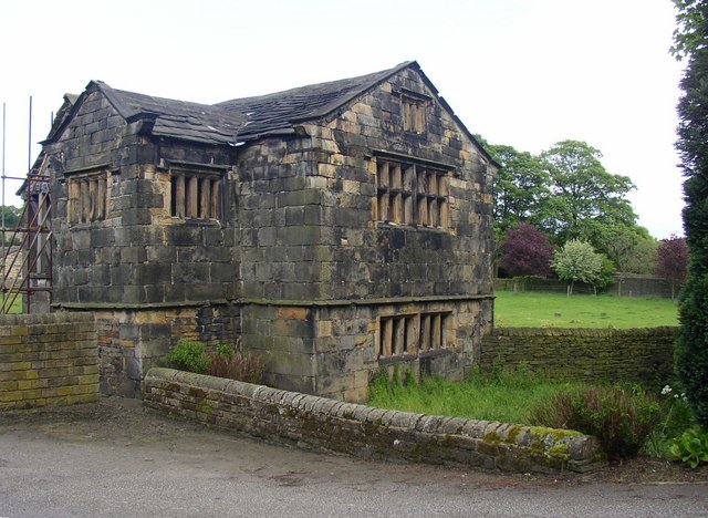
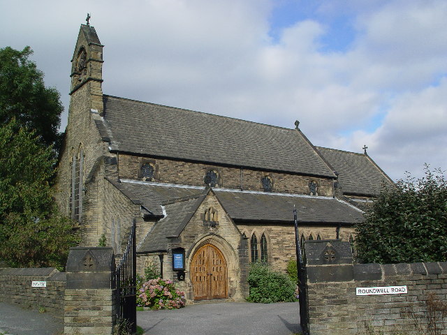
Lawn Wood Images
Images are sourced within 2km of 53.699821/-1.738444 or Grid Reference SE1722. Thanks to Geograph Open Source API. All images are credited.

Lawn Wood is located at Grid Ref: SE1722 (Lat: 53.699821, Lng: -1.738444)
Division: West Riding
Unitary Authority: Kirklees
Police Authority: West Yorkshire
What 3 Words
///atomic.starts.worked. Near Brighouse, West Yorkshire
Nearby Locations
Related Wikis
Kirklees Hall
Kirklees Hall is a 16th-century Grade I listed Jacobean hall, close to the English village of Clifton in Calderdale, West Yorkshire. The first evidence...
Kirklees Priory
Kirklees Priory was a Cistercian nunnery whose site is in the present-day Kirklees Park, Clifton near Brighouse, Calderdale, West Yorkshire, England. It...

Hartshead
Hartshead is a village in the Kirklees district of West Yorkshire, England, 3.7 miles (6 km) west of Dewsbury and near to Hartshead Moor.The village has...

Robin Hood's Grave
Robin Hood's Grave is the name given to a monument in Kirklees Park Estate, West Yorkshire, England, near the now-ruined Kirklees Priory. It is alleged...

Beggarington
Beggarington, also known as Beggerington and Begerington is a hamlet consisting of a few houses about 0.4 miles (0.6 km) north of Hartshead in Kirklees...

Clifton, West Yorkshire
Clifton is a village on the eastern outskirts of Brighouse in the Calderdale district of West Yorkshire, England. == History == Clifton is mentioned as...
Hightown, West Yorkshire
Hightown is a hamlet within the parish of Liversedge, West Yorkshire, England, with a diverse socioeconomic culture. Historically part of the West Riding...

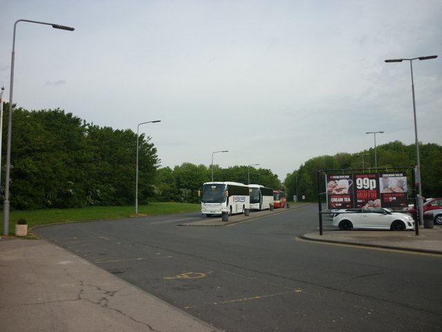
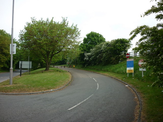
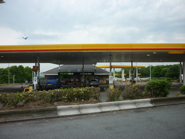
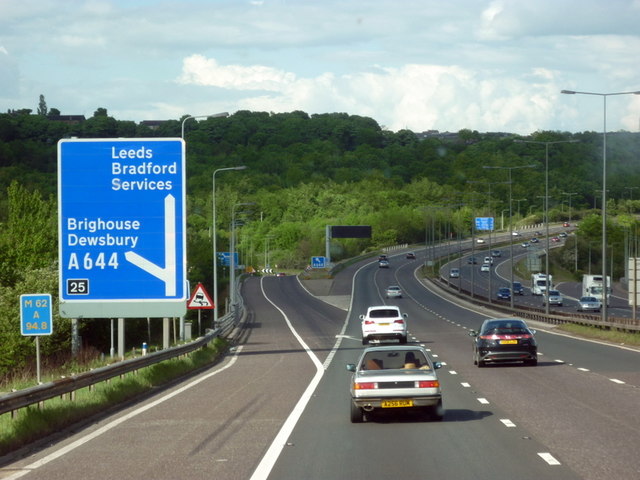
Hartshead Moor services
Hartshead Moor services is a motorway service station on the M62 near Brighouse, West Yorkshire. It is the highest service station in the United Kingdom...
Related Videos
WETHERSPOONS FULL ENGLISH BREAKFAST - Is it all hype ??? - Food Review - WETHERSPOONS WEEK - Day 3
WETHERSPOONS FULL ENGLISH BREAKFAST - Is it all hype ??? - Food Review - WETHERSPOONS WEEK - Day 3 ...

WETHERSPOONS CURRY CLUB - Chicken Tikka Masala with Basmati Rice, Naan Bread WETHERSPOONS WEEK DAY 4
WETHERSPOONS CURRY CLUB - Chicken Tikka Masala with Basmati Rice, Naan Bread WETHERSPOONS WEEK DAY 4 ...

Welcome to hell...the good old British summer holiday
Please support my Patreon music campaign... https://www.patreon.com/tonylongworth Subscribe to my official YouTube channel...
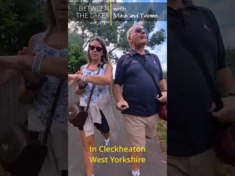
#shorts ep 23 - In Cleckheaton, West Yorkshire - Between the Lakes with Mike & Yvonne
This is #short ep 23 Walking on the Greenway in the Spen Valley from our tiny house in Cleckheaton to our old house, (where our ...
Nearby Amenities
Located within 500m of 53.699821,-1.738444Have you been to Lawn Wood?
Leave your review of Lawn Wood below (or comments, questions and feedback).