Barton Park Wood

Wood, Forest in Staffordshire East Staffordshire

England

Barton Park Wood

Dunstall Hill towards Dunstall Cross
Dunstall Hill towards Dunstall Cross Credit: Ian S

Barton Park Wood is a lush and captivating forest located in the county of Staffordshire, England. Spanning over a vast area of land, this woodland is a haven for nature enthusiasts and those seeking a peaceful escape from the bustling city life.

The wood is known for its diverse range of flora and fauna, making it a prime habitat for various species. Towering oak trees dominate the landscape, providing a majestic canopy that filters sunlight and creates a tranquil atmosphere. Alongside the oaks, birch, beech, and hazel trees also thrive, adding to the rich biodiversity of the woodland.

Wildlife is abundant in Barton Park Wood, with deer, foxes, badgers, and squirrels often seen scurrying through the undergrowth. Birdwatchers will delight in the opportunity to spot a wide array of bird species, including woodpeckers, owls, and various songbirds.

Numerous footpaths and trails wind their way through the wood, offering visitors the chance to explore the natural beauty at their own pace. The paths are well-maintained and clearly marked, ensuring ease of navigation for hikers and walkers. Along these trails, one can find picturesque clearings and babbling brooks, providing serene spots for picnics or simply to rest and admire the surroundings.

Barton Park Wood is a popular destination for outdoor activities such as birdwatching, photography, and nature walks. It offers a much-needed respite from the urban environment, allowing visitors to reconnect with nature and experience the tranquility of the forest.

If you have any feedback on the listing, please let us know in the comments section below.

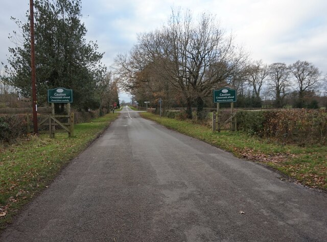
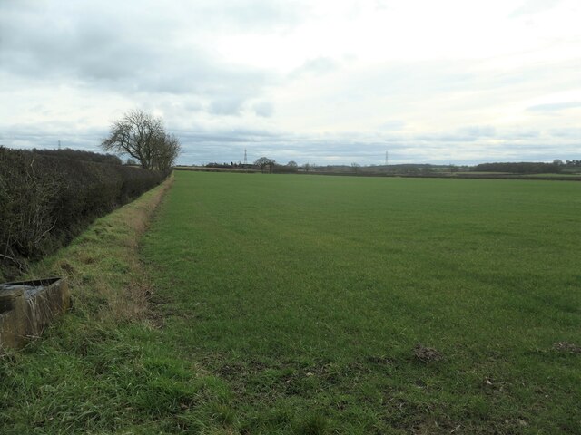
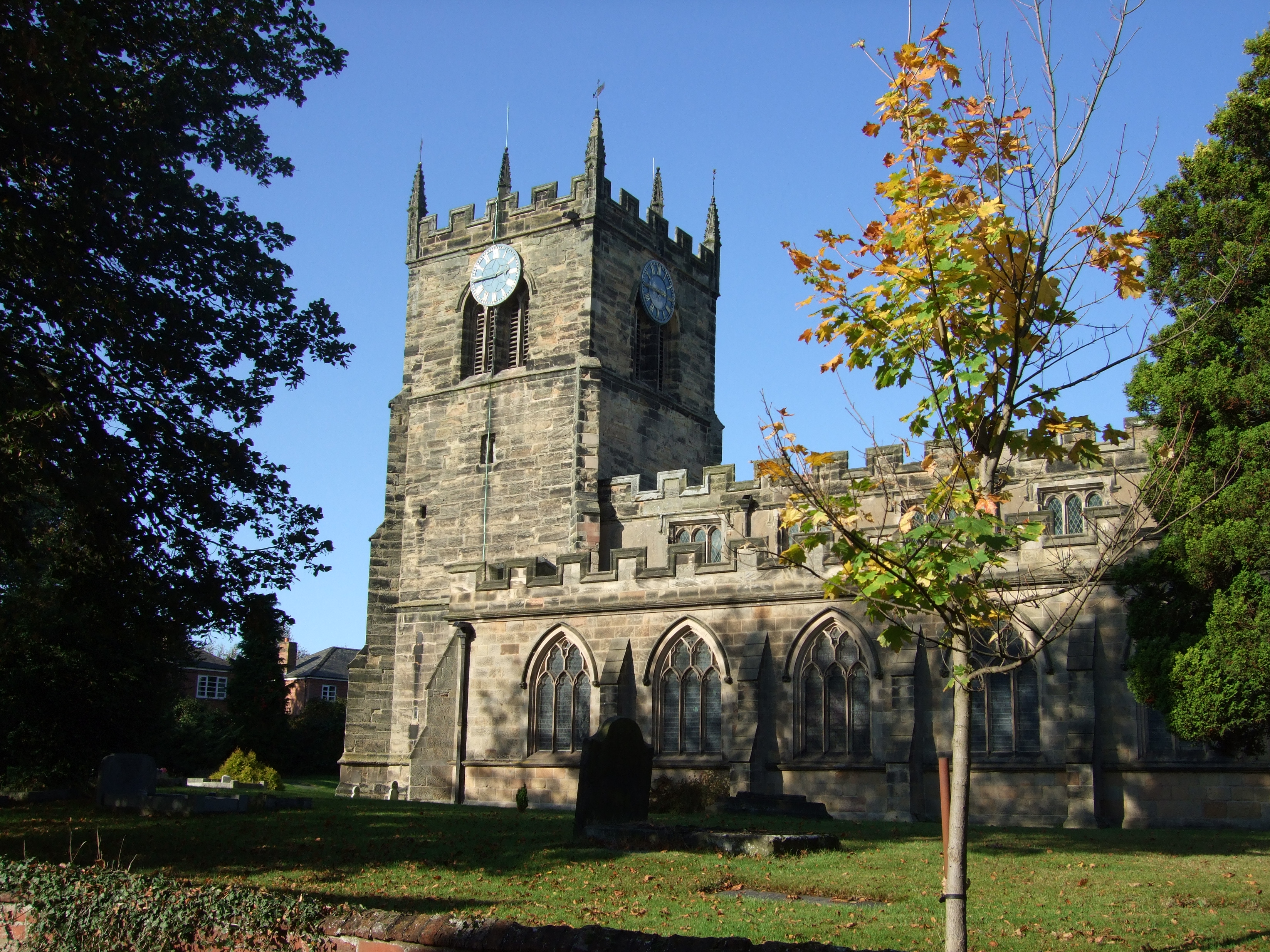
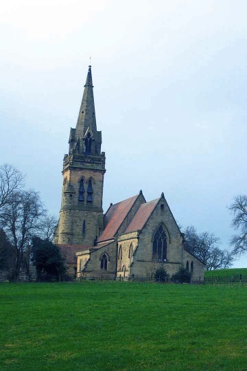
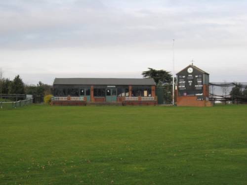
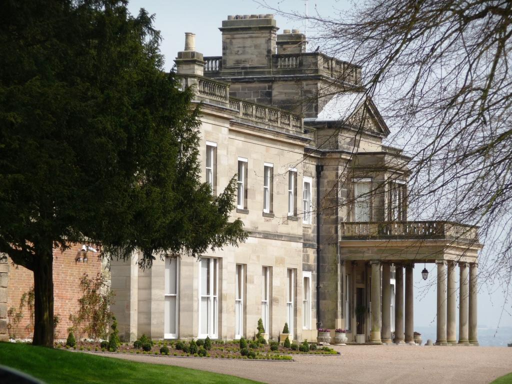
Barton Park Wood Images

Images are sourced within 2km of 52.76743/-1.7440306 or Grid Reference SK1718. Thanks to Geograph Open Source API. All images are credited.

Dunstall Hill towards Dunstall Cross
Farmland west of Dunstall Cross About 90 metres above sea level and on the south side of the road to Woodlane.
Farmland west of Dunstall Cross
About 90 metres above sea level and on the south side of the road to Woodlane.
Farm track heading south towards Needwood Rise Here just west of Yew Tree Farm, Dunstall Cross.
Farm track heading south towards Needwood Rise
Here just west of Yew Tree Farm, Dunstall Cross.
Welcome to Dunstall, please drive carefully On the western approach to Dunstall Cross.
Welcome to Dunstall, please drive carefully
On the western approach to Dunstall Cross.
A pond in Mosey Mere This pond doesn't appear on old maps, so is unlikely to be the original "Mere" in the name.
A pond in Mosey Mere
This pond doesn't appear on old maps, so is unlikely to be the original "Mere" in the name.
St. Mary's Church, Dunstall
Dunstall Cross The cottage is almost submerged under Virginia Creeper
Dunstall Cross
The cottage is almost submerged under Virginia Creeper
Footpath To Dunstall
Lane Near Forest Thorn
Crossroads Near Barton Gate
Bridleway to Dunstall Horse riders please keep to bridle path.
Bridleway to Dunstall
Horse riders please keep to bridle path.
Dunstall bridleway
Dunstall bridleway
Old Hall, Dunstall
Old Hall, Dunstall
Farmland near Dunstall Cross
Dunstall Cross Minor road heading east.
Dunstall Cross
Minor road heading east.
Approaching Dunstall Cross on Forest Road
Winter hedgerow
Winter hedgerow
Powerlines heading to Dunstall Cross
Show me another place!

Barton Park Wood is located at Grid Ref: SK1718 (Lat: 52.76743, Lng: -1.7440306)

Administrative County: Staffordshire

District: East Staffordshire

Police Authority: Staffordshire

What 3 Words

///retrain.alone.unionists. Near Barton under Needwood, Staffordshire

Related Wikis

Nearby Amenities

Located within 500m of 52.76743,-1.7440306
Post Box
Operator: Royal Mail
Ref: DE13 1036
Lat/Long: 52.7706268/-1.7438509
Restaurant
Little India
Addr City: Burton-on-Trent
Addr Housenumber: 52
Addr Postcode: DE13 8AH
Addr Street: Barton Gate
Addr Village: Barton-under-Needwood
Cuisine: indian
Fhrs Id: 1248132
Website: http://www.littleindiabarton.co.uk/
Lat/Long: 52.7706825/-1.7436434
Bus Stop
Forest Road
Naptan AtcoCode: 3800C300701
Naptan NaptanCode: stagtagd
Public Transport: platform
Lat/Long: 52.7702743/-1.7427398
Bus Stop
Forest Road
Naptan AtcoCode: 3800C300700
Naptan NaptanCode: stagtaga
Public Transport: platform
Lat/Long: 52.7703514/-1.7427559
Colour: red and white
Marker: aerial
Material: plastic
Utility: gas
Lat/Long: 52.7705468/-1.7413226
Colour: red and white
Marker: aerial
Material: plastic
Utility: gas
Lat/Long: 52.7701176/-1.7420254
Colour: red and white
Marker: aerial
Material: plastic
Utility: gas
Lat/Long: 52.7699371/-1.7422407
Colour: yellow
Marker: post
Material: plastic
Utility: gas
Lat/Long: 52.7701195/-1.7420317
Colour: yellow
Marker: post
Material: plastic
Utility: gas
Lat/Long: 52.7701134/-1.7420128
Colour: red
Marker: post
Material: plastic
Utility: gas
Lat/Long: 52.7701118/-1.7420082
Colour: yellow
Marker: post
Material: plastic
Utility: gas
Lat/Long: 52.7700363/-1.7420936
Colour: red and white
Marker: aerial
Material: plastic
Utility: gas
Lat/Long: 52.7706118/-1.741203
Colour: red and white
Marker: aerial
Material: plastic
Utility: gas
Lat/Long: 52.7662707/-1.7461431
Colour: red and white
Marker: aerial
Material: plastic
Utility: gas
Lat/Long: 52.7657095/-1.7466614
The data included in this document is from www.openstreetmap.org. The data is made available under ODbL.

Have you been to Barton Park Wood?

Leave your review of Barton Park Wood below (or comments, questions and feedback).