Low Plain

Downs, Moorland in Yorkshire Harrogate

England

Low Plain

Greygarth Monument Erected to celebrate Queen Victoria's Diamond Jubilee in 1897.  This spot affords tremendous views on a clear day, particularly to the east, over the Vale of York to the White Horse of Kilburn and the North York Moors.
Greygarth Monument Credit: Chris Heaton

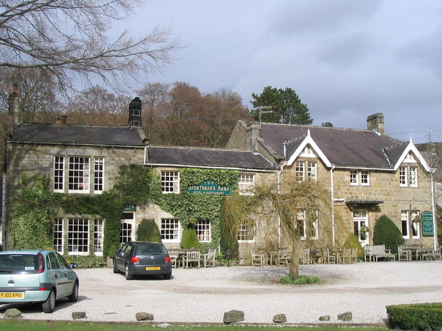
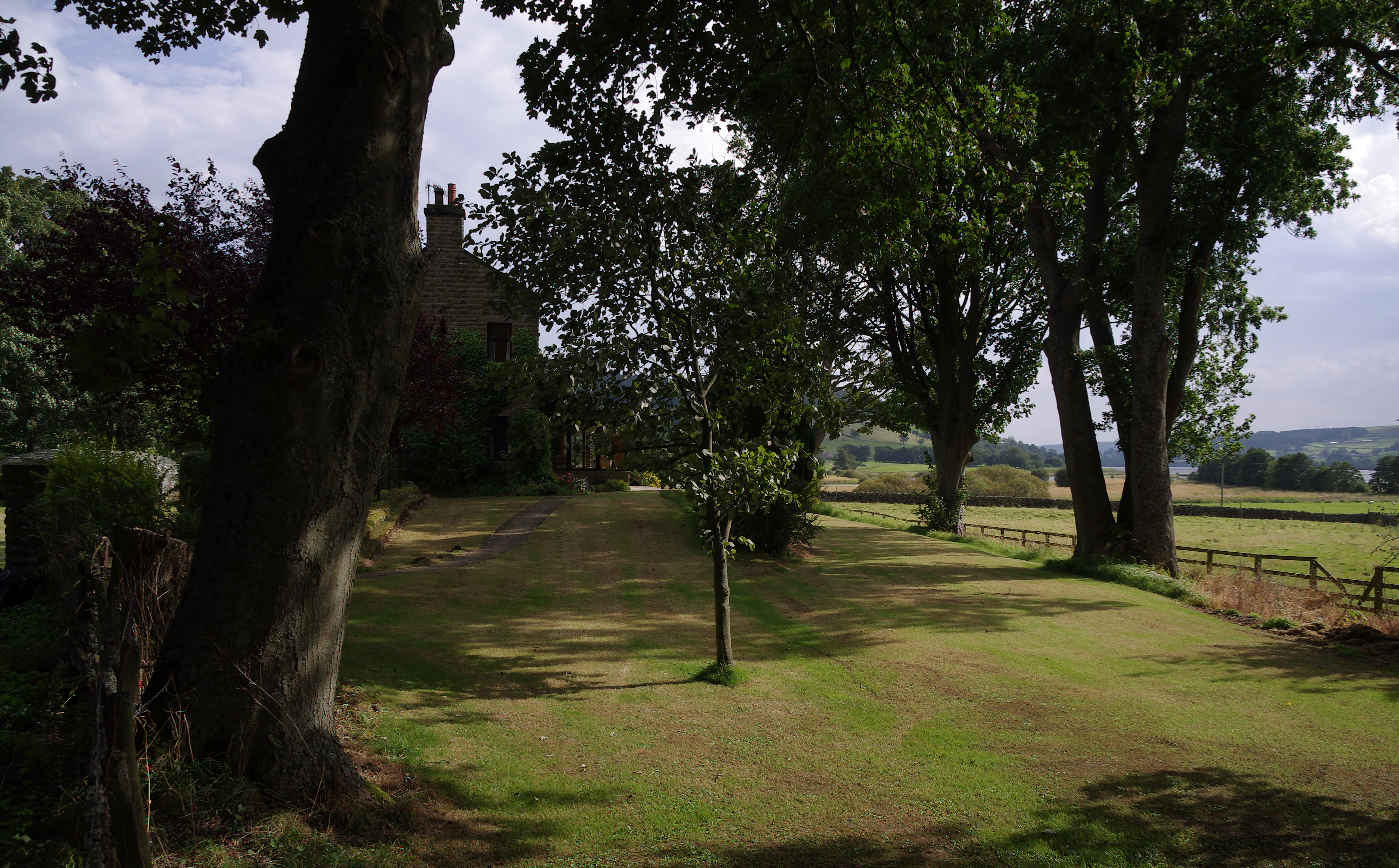
Low Plain is a picturesque region located in the county of Yorkshire, England. It is characterized by its unique blend of downs and moorland landscapes, offering visitors a diverse and captivating experience. Spanning over vast areas, the region boasts a rich tapestry of natural beauty and cultural heritage.

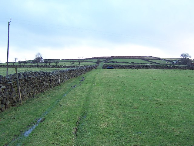
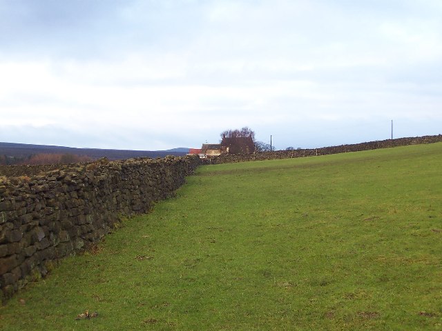
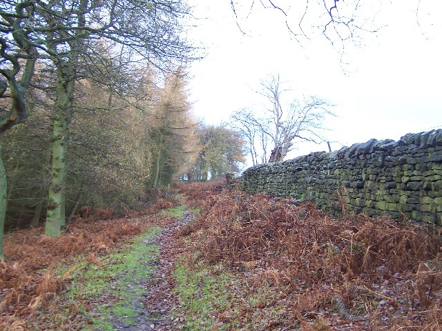
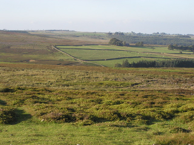
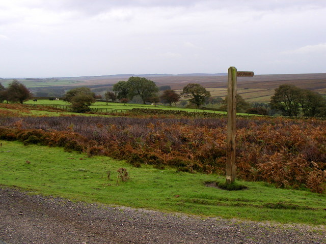
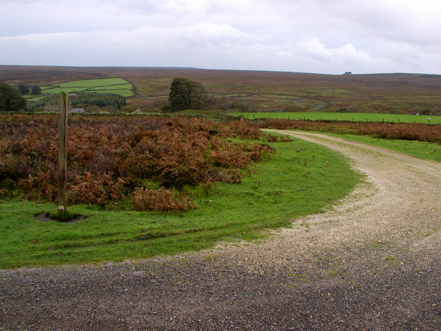
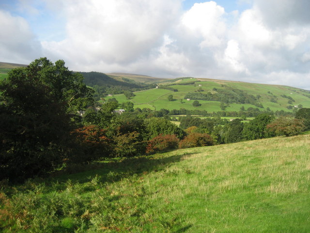
The downs of Low Plain are characterized by gently rolling hills and expansive meadows. The lush greenery and fertile soil make it an ideal habitat for a variety of plant and animal species. Visitors can enjoy leisurely walks or adventurous hikes amidst the stunning scenery, taking in the panoramic views and soaking up the tranquility of the surroundings.

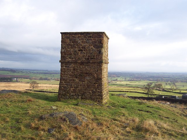
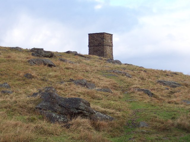
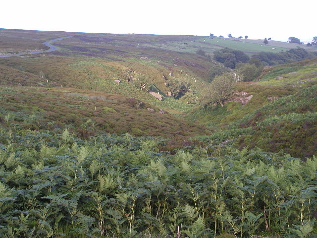
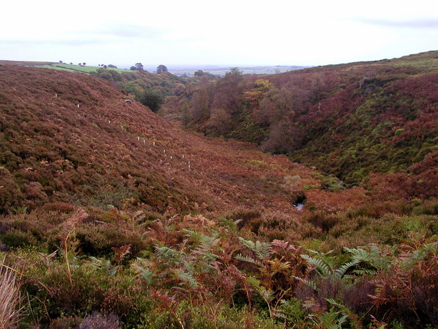
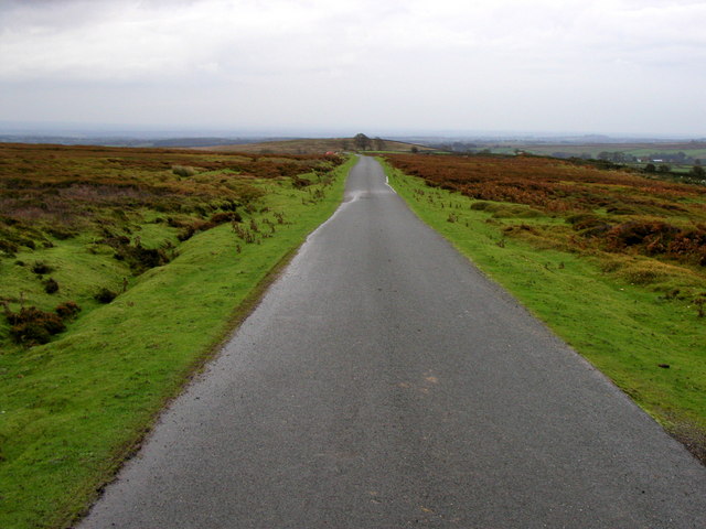
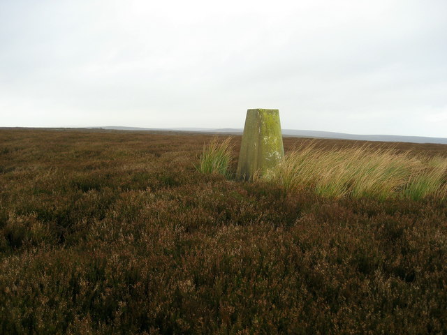
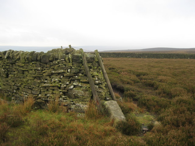
In contrast, the moorland of Low Plain offers a more rugged and untamed landscape. Here, visitors can explore the vast expanses of heather-clad hills and deep valleys, dotted with streams and waterfalls. The moors are home to unique flora and fauna, including rare birds such as the red grouse and golden plover. Exploring the moorland provides an opportunity to witness the raw beauty of nature and immerse oneself in the solitude of the open countryside.

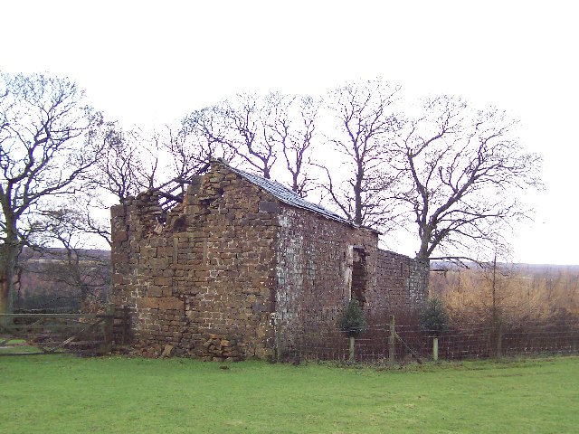
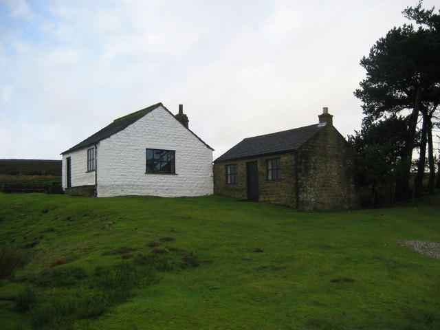
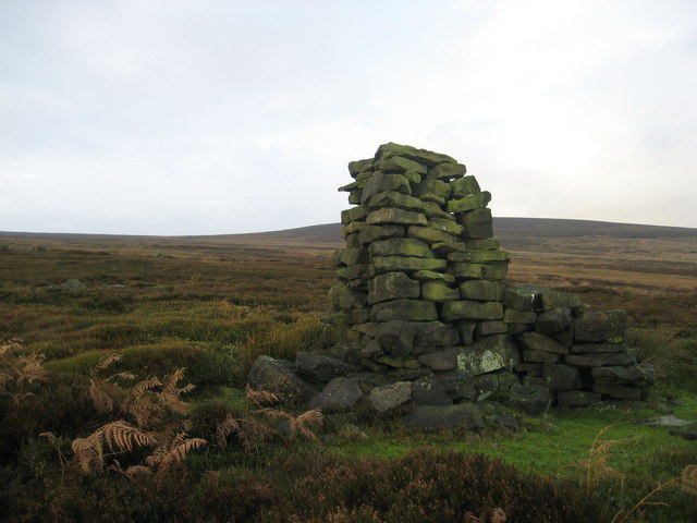
Low Plain is also rich in cultural heritage, with a history dating back centuries. The region is dotted with ancient stone circles, burial mounds, and remnants of old settlements, providing a glimpse into the lives of the people who once inhabited the area. Visitors can explore these archaeological sites and learn about the region's fascinating past.

In summary, Low Plain, Yorkshire, with its blend of downs and moorland landscapes, offers visitors a captivating and diverse experience. Whether it's enjoying the tranquility of the downs or exploring the untamed beauty of the moorland, this region is a haven for nature enthusiasts and history lovers alike.

If you have any feedback on the listing, please let us know in the comments section below.

Low Plain Images

Images are sourced within 2km of 54.135547/-1.7372246 or Grid Reference SE1771. Thanks to Geograph Open Source API. All images are credited.

Greygarth Monument Erected to celebrate Queen Victoria's Diamond Jubilee in 1897.  This spot affords tremendous views on a clear day, particularly to the east, over the Vale of York to the White Horse of Kilburn and the North York Moors.
Greygarth Monument
Erected to celebrate Queen Victoria's Diamond Jubilee in 1897. This spot affords tremendous views on a clear day, particularly to the east, over the Vale of York to the White Horse of Kilburn and the North York Moors.
Approach to Greygarth Monument There is a right of way over Greygarth Hill to reach the monument from the west.
Approach to Greygarth Monument
There is a right of way over Greygarth Hill to reach the monument from the west.
Green Lane leading away from Dallowgill to Greygarth Pleasant preamble through upland pastures near Greygarth.
Green Lane leading away from Dallowgill to Greygarth
Pleasant preamble through upland pastures near Greygarth.
Approaching Bents House Crossing upland pastures from the east, above the valley of Dallowgill to reach the farm known as Bents House
Approaching Bents House
Crossing upland pastures from the east, above the valley of Dallowgill to reach the farm known as Bents House
Abandoned Farm Buildings, Dallowgill Close to Bents House, and above the wooded cleft of Dallowgill.
Abandoned Farm Buildings, Dallowgill
Close to Bents House, and above the wooded cleft of Dallowgill.
Woods in Dallowgill
Woods in Dallowgill
Art near Stang Brae, Dallowgill Supplemental, I agree.  The area around Dallowgill has several of these mosaics in odd places, almost like a treasure hunt.  Someone with an artistic flair has gone to much trouble.
Art near Stang Brae, Dallowgill
Supplemental, I agree. The area around Dallowgill has several of these mosaics in odd places, almost like a treasure hunt. Someone with an artistic flair has gone to much trouble.
North Gill Beck Looking from the top left hand corner of the square down North Gill Beck on a lovely July evening.
North Gill Beck
Looking from the top left hand corner of the square down North Gill Beck on a lovely July evening.
Kirkby Malzeard Moor This is the view NE from MR: SE173728 on a lovely summer's evening.
Kirkby Malzeard Moor
This is the view NE from MR: SE173728 on a lovely summer's evening.
North Gill Beck Taken later in the year to my last photograph - the colours are completely different!
North Gill Beck
Taken later in the year to my last photograph - the colours are completely different!
Bridleway to Dallowgill
Moorland Road
Moorland Road
Moorland Bridleway
Moorland Bridleway
Mechanised Shepherd, Dallow Moor Modern shepherd herding his sheep off the moor, and following this track to Harper Hill
Mechanised Shepherd, Dallow Moor
Modern shepherd herding his sheep off the moor, and following this track to Harper Hill
Kettlestang Shooting House Very isolated location on the wilderness of Dallowgill Moor
Kettlestang Shooting House
Very isolated location on the wilderness of Dallowgill Moor
Rudimentary Shelter, Dallowgill Moor This very rough stone construction can be found above South Gill Beck, just off the access track to Kettlestang Shooting House
Rudimentary Shelter, Dallowgill Moor
This very rough stone construction can be found above South Gill Beck, just off the access track to Kettlestang Shooting House
Kettlestang Hill Seldom visited summit and decommissioned trig point at 1280ft. Compass bearings and a slog through heather were necessary to accomplish the climb.
Kettlestang Hill
Seldom visited summit and decommissioned trig point at 1280ft. Compass bearings and a slog through heather were necessary to accomplish the climb.
Dry Stone Wall on High Hill Not particularly high - and where is the hill?  The wall executes an "S" bend at this juncture, which makes it easy to pinpoint my location on the map in this featureless landscape
Dry Stone Wall on High Hill
Not particularly high - and where is the hill? The wall executes an "S" bend at this juncture, which makes it easy to pinpoint my location on the map in this featureless landscape
Show me another place!

Low Plain is located at Grid Ref: SE1771 (Lat: 54.135547, Lng: -1.7372246)

Division: West Riding

Administrative County: North Yorkshire

District: Harrogate

Police Authority: North Yorkshire

What 3 Words

///slick.radiating.moth. Near Pateley Bridge, North Yorkshire

Nearby Locations

Robin Rake Hill Low Plain

Related Wikis

Dallowgill

Dallowgill (historically also Dallaghill) is a village in Harrogate district in North Yorkshire, England. It consists of a number of scattered settlements...

High and Low Bishopside

High and Low Bishopside is a civil parish in Nidderdale in the Harrogate district, in the county of North Yorkshire, England. It includes the town of Pateley...

Wath-in-Nidderdale

Wath, sometimes known as Wath-in-Nidderdale to distinguish it from other places named Wath, is a village in the Harrogate district of North Yorkshire,...

Wath-in-Nidderdale railway station

Wath-in-Nidderdale railway station, was one of two intermediate stations on the Nidd Valley Light Railway, in Wath-in-Nidderdale, Yorkshire, England. The...

Six Dales Trail

The Six Dales Trail is a long distance footpath in North Yorkshire, England, with a short section in West Yorkshire. It is 38 miles (61 km) long and connects...

Gouthwaite Reservoir

Gouthwaite Reservoir is in Nidderdale, North Yorkshire, England. It is one of many reservoirs in the area, others include Roundhill Reservoir and Angram...

Bouthwaite

Bouthwaite is a hamlet in the Harrogate district of North Yorkshire, England. It is situated in Nidderdale, to the north of Pateley Bridge, close to the...

Ramsgill railway station

Ramsgill railway station was a station on the Nidd Valley Light Railway in Nidderdale in Yorkshire, England. It opened in 1907 and closed in 1930. It was...

Related Videos

Suzuki Grand Vitara - Camper - Conversion

I Have just acquired a 2002 Suzuki Grand Vitara and have done a very simple Camper - conversion. It is a very basic conversion ...

Driving Pateley Bridge to Dallowgill, across the moors, slow tv style

Drive the back lanes from the small market town of Pateley Bridge, up on to the heather moors and down into the secluded ...

Nearby Amenities

Located within 500m of 54.135547,-1.7372246
The data included in this document is from www.openstreetmap.org. The data is made available under ODbL.

Have you been to Low Plain?

Leave your review of Low Plain below (or comments, questions and feedback).