Cold Side Oaks
Downs, Moorland in Yorkshire
England
Cold Side Oaks

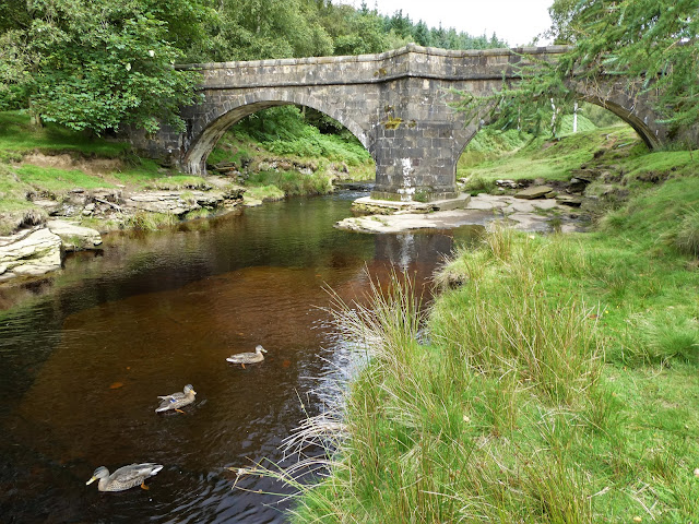
Cold Side Oaks is a picturesque village located in the Yorkshire region of England. Situated amidst the stunning landscape of the Yorkshire Downs and Moorland, the village offers a tranquil and idyllic setting for residents and visitors alike. With its charming stone cottages, rolling hills, and lush greenery, Cold Side Oaks is a haven for nature enthusiasts and those seeking a peaceful retreat.
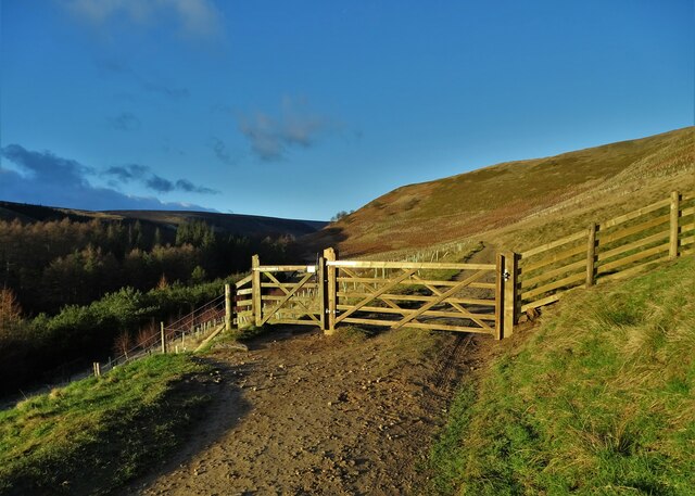
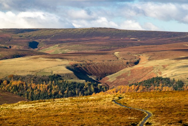
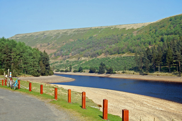
The village is surrounded by vast expanses of moorland, characterized by its heather-clad hills and breathtaking views. It is a popular destination for hikers and walkers, who can explore the numerous trails that wind through the rugged terrain. The Yorkshire Downs, with their undulating slopes and open pastures, provide ample opportunities for outdoor activities such as horse riding and cycling.
In addition to its natural beauty, Cold Side Oaks boasts a rich history. The village is home to several historic landmarks, including an ancient church dating back to the 12th century. Visitors can also explore the remnants of a medieval castle that once stood proudly on a nearby hill.
Despite its rural setting, Cold Side Oaks offers modern amenities and conveniences. There are a handful of local shops, cafes, and pubs where visitors can sample traditional Yorkshire fare and enjoy a warm and friendly atmosphere. The village also hosts a variety of events throughout the year, including a popular summer fair and a festive Christmas market.
Overall, Cold Side Oaks is a hidden gem in the heart of Yorkshire. Its stunning natural surroundings, rich history, and warm community make it an ideal destination for those seeking a peaceful retreat or a taste of traditional English countryside life.
If you have any feedback on the listing, please let us know in the comments section below.
Cold Side Oaks Images
Images are sourced within 2km of 53.447147/-1.7408252 or Grid Reference SK1794. Thanks to Geograph Open Source API. All images are credited.


Cold Side Oaks is located at Grid Ref: SK1794 (Lat: 53.447147, Lng: -1.7408252)
Division: West Riding
Unitary Authority: Sheffield
Police Authority: South Yorkshire
What 3 Words
///dignity.eclipses.panthers. Near Bradfield, South Yorkshire
Nearby Locations
Related Wikis

Howden Edge
Howden Edge (grid reference SK187943) is a peak in the north-east of the Upper Derwent Valley area of the Peak District National Park in England. At 545...

High Stones
High Stones, at 548 metres (1,798 ft), is the highest point within the boundaries of both the City of Sheffield and South Yorkshire, England.High Stones...

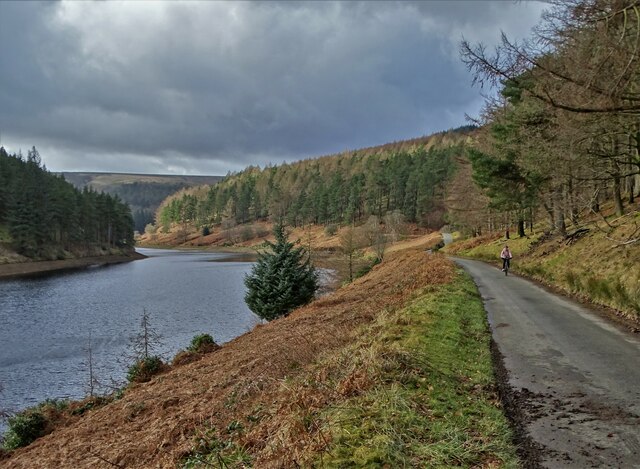
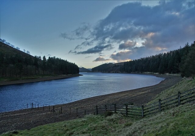
Howden Reservoir
The Howden Reservoir is a Y-shaped reservoir, the uppermost of the three in the Upper Derwent Valley, England. The western half of the reservoir lies in...

River Westend
The River Westend flows through the Dark Peak of the Derbyshire Peak District in England. Its source is at Bleaklow Stones on Bleaklow, from where it...

Margery Hill
Margery Hill is a 546-metre (1,791 ft) hill on the Howden Moors in South Yorkshire, England. It lies towards the northern boundary of the Peak District...

Derwent Reservoir (Derbyshire)
Derwent Reservoir is the middle of three reservoirs in the Upper Derwent Valley in the north of Derbyshire, England. It lies approximately 10 mi (16 km...

Lost Lad
Lost Lad is a hill, 518 metres (1,699 ft) high on the Derwent Edge in the Peak District in the county of Derbyshire in England. It is a subpeak of Back...

Alport Castles
The Alport Castles are a landslip feature in the Peak District National Park in Derbyshire. At over half a mile long, it is thought to be the largest landslide...
Related Videos

Margery Hill and Outer Edge - A 10.25 Mile Circular Peak District Hike. #peakdistrict #summit #hike
This is my last video of 2023. I want to thank everyone for their support over the last year and take this opportunity to wish you all a ...

Hiking Around Howden and Wild Swimming at Slippery Stones | Peak District Walks
Birthday hike up Cut Gate, up to Margery Stomes and then back down through Howden Clough, finishing with a swim at Slippery ...

Peak District - Margery Stones Wild Camp
With the weather looking like snow, I decided to make the most of it and head over to the Peaks and then up in the direction of ...
Margery Hill Trig Point #peakdistrict #summit #margeryhill
A 10.25 mile hike from Flouch to Margery Hill and Outer Edge Trigs. #peakdistrict #summit #peakhike.
Nearby Amenities
Located within 500m of 53.447147,-1.7408252Have you been to Cold Side Oaks?
Leave your review of Cold Side Oaks below (or comments, questions and feedback).