Church Green
Downs, Moorland in Yorkshire Harrogate
England
Church Green
![The long straight wall [remains of] The 1:25000 OS map shows a ruler straight drystone wall across the moor here running almost due S-N, but the reality is that there is more gap than wall and the local Swaledale sheep are able to wander at will from one part of the rough pasture, a mix of heather grass and rushes to another. The wall must have been fairly late, as it, along with others on High Bishopside Moor is not shown on first edition OS maps, neither is the nearby farm at Somerset House.](https://s1.geograph.org.uk/geophotos/06/90/71/6907125_9f0b18e7.jpg)
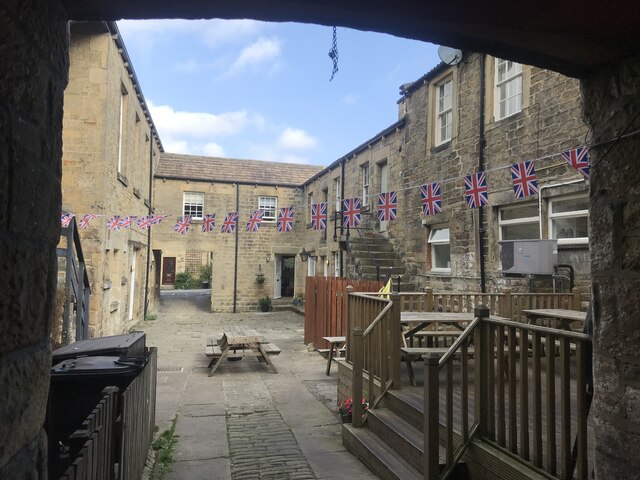
Church Green is a picturesque village nestled in the heart of Yorkshire, England. It is located on the edge of the Yorkshire Downs and surrounded by vast expanses of moorland. The village is known for its stunning natural beauty and tranquil atmosphere, making it a popular destination for nature enthusiasts and those seeking a peaceful retreat.
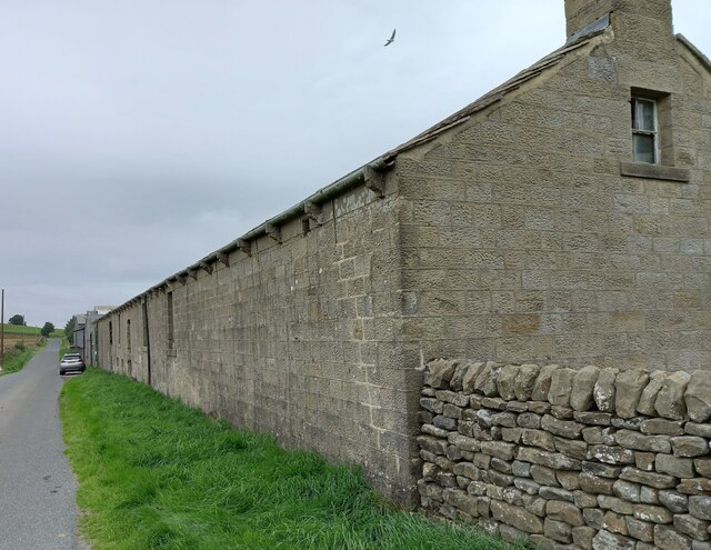
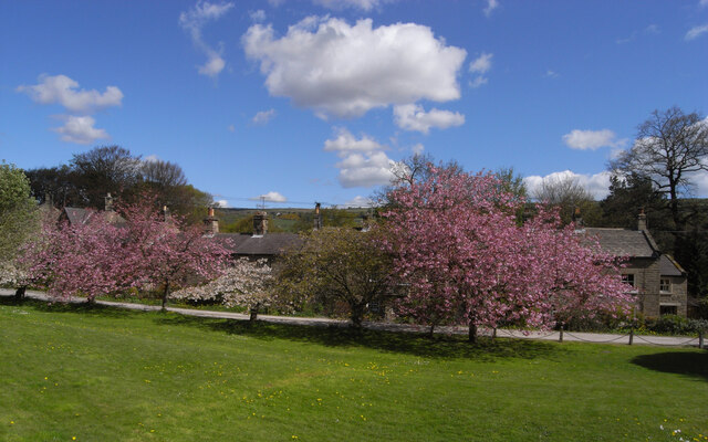
The village itself is characterized by charming stone cottages with well-manicured gardens, giving it a quintessentially English feel. The focal point of Church Green is its historic church, which dates back several centuries and serves as a reminder of the village's rich heritage.
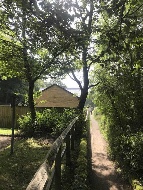
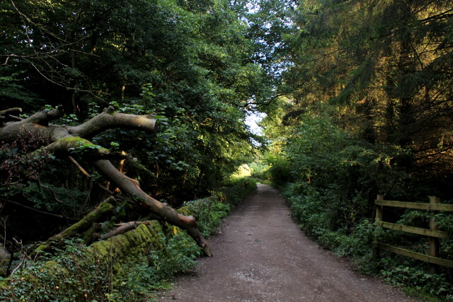
Surrounded by rolling hills and verdant valleys, Church Green offers an abundance of outdoor activities for visitors to enjoy. Hiking and cycling trails crisscross the landscape, providing breathtaking views of the surrounding countryside. The moorland, in particular, is renowned for its unique wildlife and flora, including heather and rare bird species.
The village is also home to a small but vibrant community, with a handful of local shops, cafes, and pubs. These establishments provide a warm welcome to both locals and tourists alike, serving up traditional Yorkshire fare and ales.
Overall, Church Green is a haven for those seeking a peaceful and idyllic escape. Its natural beauty, rich history, and friendly community make it a truly special place to visit in Yorkshire.
If you have any feedback on the listing, please let us know in the comments section below.
Church Green Images
Images are sourced within 2km of 54.085548/-1.7492956 or Grid Reference SE1665. Thanks to Geograph Open Source API. All images are credited.
![Pateley Bridge buildings [1] Numbers 9 and 11 High Street are two shops with flats above. Built in the mid 18th century of squared, coursed stone under a stone slate roof. The left shopfront is late 19th century, the right shopfront is 20th century. Listed, grade II, with details at: <span class="nowrap"><a title="https://historicengland.org.uk/listing/the-list/list-entry/1173791" rel="nofollow ugc noopener" href="https://historicengland.org.uk/listing/the-list/list-entry/1173791">Link</a><img style="margin-left:2px;" alt="External link" title="External link - shift click to open in new window" src="https://s1.geograph.org.uk/img/external.png" width="10" height="10"/></span>
Pateley Bridge is a small market town, the market charter being granted in 1320. Located on the banks of the River Nidd, the town is some 11 miles northwest of Harrogate, some 10 miles southwest of Ripon and is within the Nidderdale Area of Outstanding Natural Beauty. The town is popular with tourists exploring the Yorkshire Dales.](https://s3.geograph.org.uk/geophotos/07/03/08/7030879_515f579a.jpg)
![Pateley Bridge buildings [2] The Crown Hotel, number 19 High Street, was built in the early 19th century. Constructed of squared, coursed stone with ashlar dressings under a tile roof. Listed, grade II, with details at: <span class="nowrap"><a title="https://historicengland.org.uk/listing/the-list/list-entry/1296065" rel="nofollow ugc noopener" href="https://historicengland.org.uk/listing/the-list/list-entry/1296065">Link</a><img style="margin-left:2px;" alt="External link" title="External link - shift click to open in new window" src="https://s1.geograph.org.uk/img/external.png" width="10" height="10"/></span>
Pateley Bridge is a small market town, the market charter being granted in 1320. Located on the banks of the River Nidd, the town is some 11 miles northwest of Harrogate, some 10 miles southwest of Ripon and is within the Nidderdale Area of Outstanding Natural Beauty. The town is popular with tourists exploring the Yorkshire Dales.](https://s1.geograph.org.uk/geophotos/07/03/08/7030881_f8067ef2.jpg)
![Pateley Bridge buildings [3] Formerly a coaching inn with stabling for 15 horses, Talbot House now offers tearooms and bed and breakfast accommodation. Built in the early 18th century of squared, coursed stone with freestone dressings, all under a stone slate roof. Listed, grade II, with details at: <span class="nowrap"><a title="https://historicengland.org.uk/listing/the-list/list-entry/1150504" rel="nofollow ugc noopener" href="https://historicengland.org.uk/listing/the-list/list-entry/1150504">Link</a><img style="margin-left:2px;" alt="External link" title="External link - shift click to open in new window" src="https://s1.geograph.org.uk/img/external.png" width="10" height="10"/></span>
Pateley Bridge is a small market town, the market charter being granted in 1320. Located on the banks of the River Nidd, the town is some 11 miles northwest of Harrogate, some 10 miles southwest of Ripon and is within the Nidderdale Area of Outstanding Natural Beauty. The town is popular with tourists exploring the Yorkshire Dales.](https://s0.geograph.org.uk/geophotos/07/03/08/7030884_c80db19b.jpg)
![Pateley Bridge buildings [4] Originally one house, this is now three shops, numbers 35, 37 and 39 High Street.
Built in the 17th century with alterations in the 18th century and later. Constructed of squared, coursed stone with freestone dressings, under a stone slate roof. The bay window on the left is 20th century, as is the shopfront on the right. Listed, grade II, with details at: <span class="nowrap"><a title="https://historicengland.org.uk/listing/the-list/list-entry/1173812" rel="nofollow ugc noopener" href="https://historicengland.org.uk/listing/the-list/list-entry/1173812">Link</a><img style="margin-left:2px;" alt="External link" title="External link - shift click to open in new window" src="https://s1.geograph.org.uk/img/external.png" width="10" height="10"/></span>
Pateley Bridge is a small market town, the market charter being granted in 1320. Located on the banks of the River Nidd, the town is some 11 miles northwest of Harrogate, some 10 miles southwest of Ripon and is within the Nidderdale Area of Outstanding Natural Beauty. The town is popular with tourists exploring the Yorkshire Dales.](https://s2.geograph.org.uk/geophotos/07/03/08/7030886_6e99aeba.jpg)
![Pateley Bridge buildings [5] Numbers 45 and 47 High Street are a shop and house, now in separate occupations. Built in the mid 18th century with 20th century alterations. Constructed of squared, coursed stone with ashlar dressings, under a stone slate roof. The shopfront is early 20th century. Listed, grade II, with details at: <span class="nowrap"><a title="https://historicengland.org.uk/listing/the-list/list-entry/1173825" rel="nofollow ugc noopener" href="https://historicengland.org.uk/listing/the-list/list-entry/1173825">Link</a><img style="margin-left:2px;" alt="External link" title="External link - shift click to open in new window" src="https://s1.geograph.org.uk/img/external.png" width="10" height="10"/></span>
Pateley Bridge is a small market town, the market charter being granted in 1320. Located on the banks of the River Nidd, the town is some 11 miles northwest of Harrogate, some 10 miles southwest of Ripon and is within the Nidderdale Area of Outstanding Natural Beauty. The town is popular with tourists exploring the Yorkshire Dales.](https://s3.geograph.org.uk/geophotos/07/03/08/7030891_9e040dfd.jpg)
![Pateley Bridge buildings [6] The Pateley Club, number 42 High Street, was built as the George and Dragon public house and is dated 1664 with 18th and 19th century alterations. Ale was brewed on the site in 1777 the building became the brewery manager&#039;s house. After a time as the Conservative Club, it is now the Pateley Club. Constructed of squared, coursed stone with freestone dressings under a stone slate roof. The canted bay windows are 19th century. Listed, grade II, with details at: <span class="nowrap"><a title="https://historicengland.org.uk/listing/the-list/list-entry/1150507" rel="nofollow ugc noopener" href="https://historicengland.org.uk/listing/the-list/list-entry/1150507">Link</a><img style="margin-left:2px;" alt="External link" title="External link - shift click to open in new window" src="https://s1.geograph.org.uk/img/external.png" width="10" height="10"/></span>
Pateley Bridge is a small market town, the market charter being granted in 1320. Located on the banks of the River Nidd, the town is some 11 miles northwest of Harrogate, some 10 miles southwest of Ripon and is within the Nidderdale Area of Outstanding Natural Beauty. The town is popular with tourists exploring the Yorkshire Dales.](https://s3.geograph.org.uk/geophotos/07/03/09/7030907_f5ca343e.jpg)
![Pateley Bridge buildings [7] This house and shop at number 8 High Street was built in the early 19th century. Constructed of ashlar under a Welsh slate roof. Listed, grade II, with details at: <span class="nowrap"><a title="https://historicengland.org.uk/listing/the-list/list-entry/1173881" rel="nofollow ugc noopener" href="https://historicengland.org.uk/listing/the-list/list-entry/1173881">Link</a><img style="margin-left:2px;" alt="External link" title="External link - shift click to open in new window" src="https://s1.geograph.org.uk/img/external.png" width="10" height="10"/></span>
Pateley Bridge is a small market town, the market charter being granted in 1320. Located on the banks of the River Nidd, the town is some 11 miles northwest of Harrogate, some 10 miles southwest of Ripon and is within the Nidderdale Area of Outstanding Natural Beauty. The town is popular with tourists exploring the Yorkshire Dales.](https://s0.geograph.org.uk/geophotos/07/03/09/7030936_f8852da6.jpg)
![Pateley Bridge features [1] This well was originally erected in 1852 on Ripon Road and was known as Souter Well. Moved to its present position in the 1970s and now known as Fox&#039;s Head Well.
Built of stone with a stone trough with cast-iron fox&#039;s head spout above. Listed, grade II, with details at: <span class="nowrap"><a title="https://historicengland.org.uk/listing/the-list/list-entry/1150506" rel="nofollow ugc noopener" href="https://historicengland.org.uk/listing/the-list/list-entry/1150506">Link</a><img style="margin-left:2px;" alt="External link" title="External link - shift click to open in new window" src="https://s1.geograph.org.uk/img/external.png" width="10" height="10"/></span>
Pateley Bridge is a small market town, the market charter being granted in 1320. Located on the banks of the River Nidd, the town is some 11 miles northwest of Harrogate, some 10 miles southwest of Ripon and is within the Nidderdale Area of Outstanding Natural Beauty. The town is popular with tourists exploring the Yorkshire Dales.](https://s2.geograph.org.uk/geophotos/07/03/09/7030942_6b139019.jpg)
![Pateley Bridge buildings [8] This building which is now the Playhouse began life as a Primitive Methodist Chapel in 1859. When the Methodists united in the mid 1930s the Salvation Army bought the building and used it as their citadel until the late 1950s. Purchased by the Pateley Bridge Dramatic Society it has since been converted into a 73 seat theatre.
Pateley Bridge is a small market town, the market charter being granted in 1320. Located on the banks of the River Nidd, the town is some 11 miles northwest of Harrogate, some 10 miles southwest of Ripon and is within the Nidderdale Area of Outstanding Natural Beauty. The town is popular with tourists exploring the Yorkshire Dales.](https://s2.geograph.org.uk/geophotos/07/03/09/7030950_2eb93448.jpg)
Church Green is located at Grid Ref: SE1665 (Lat: 54.085548, Lng: -1.7492956)
Division: West Riding
Administrative County: North Yorkshire
District: Harrogate
Police Authority: North Yorkshire
What 3 Words
///grand.thatched.worm. Near Pateley Bridge, North Yorkshire
Nearby Locations
Related Wikis

Nidderdale AONB
The Nidderdale AONB is an Area of Outstanding Natural Beauty in North Yorkshire, England, bordering the Yorkshire Dales National Park to the east and south...

Nidderdale
Nidderdale, historically also known as Netherdale, is one of the Yorkshire Dales (although outside the Yorkshire Dales National Park) in North Yorkshire...

Pateley Playhouse
The Pateley Playhouse is a small amateur-run theatre in the town of Pateley Bridge in Nidderdale, North Yorkshire, England. The building was initially...

Pateley Bridge railway station
Pateley Bridge railway station is a disused railway station in North Yorkshire, England. The station was the terminating station on the North Eastern Railway...

Nidderdale Museum
Nidderdale Museum is a local and social history museum in the market town of Pateley Bridge in Nidderdale, one of the Yorkshire Dales, in North Yorkshire...

Pateley Bridge
Pateley Bridge (known locally as Pateley) is a market town in Nidderdale in the county and district of North Yorkshire, England. Historically part of the...

Pateley Bridge railway station (Nidd Valley Light Railway)
Pateley Bridge railway station (NVLR) was a railway station serving the southern terminus of the Nidd Valley Light Railway, in Pateley Bridge, North Yorkshire...
Bewerley
Bewerley is a village and civil parish in the Harrogate district of North Yorkshire, England, about twelve miles west of Ripon. The parish includes the...
Nearby Amenities
Located within 500m of 54.085548,-1.7492956Have you been to Church Green?
Leave your review of Church Green below (or comments, questions and feedback).