Hulne Park
Downs, Moorland in Northumberland
England
Hulne Park
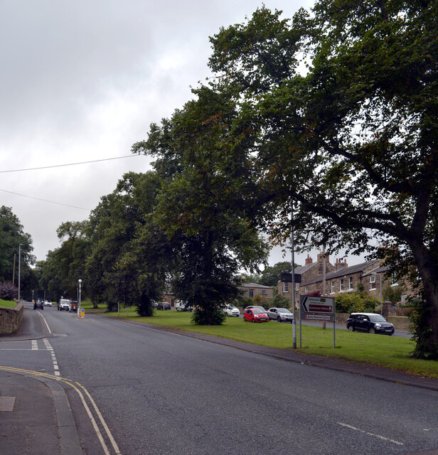
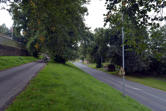
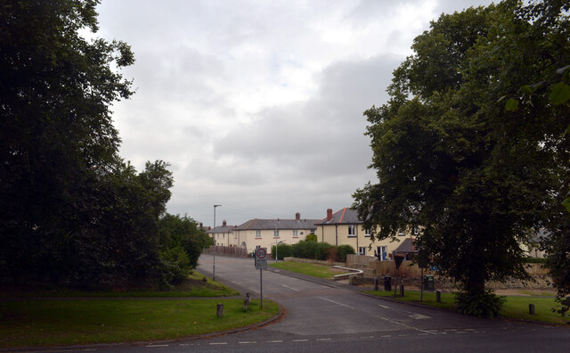
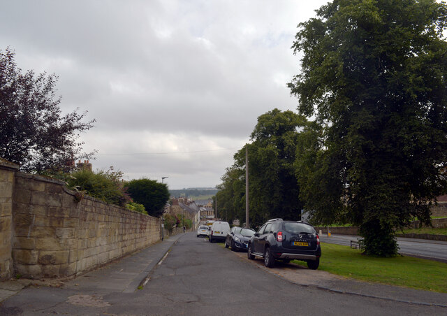
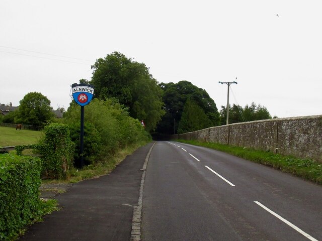
Hulne Park is a picturesque estate located in the county of Northumberland, in the northeast of England. Situated near the town of Alnwick, the park spans over 3,000 acres of diverse landscapes, including downs and moorland areas.
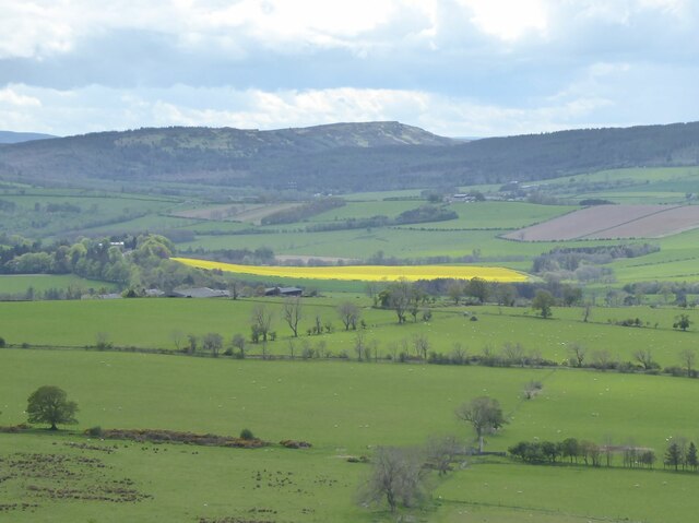
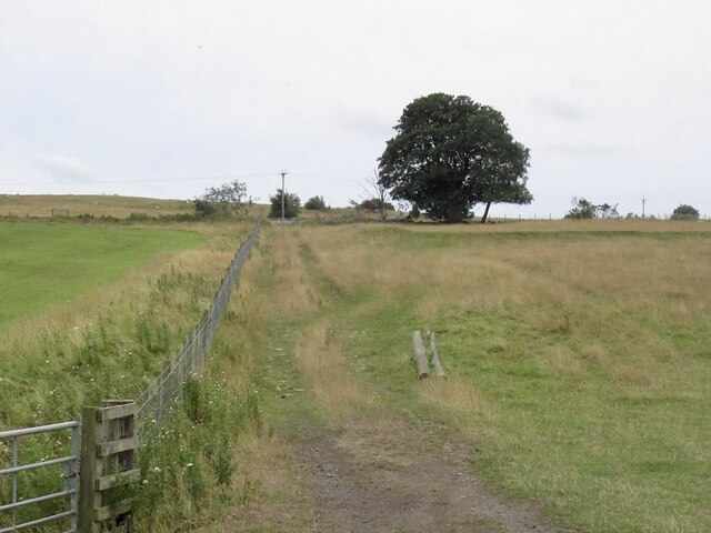
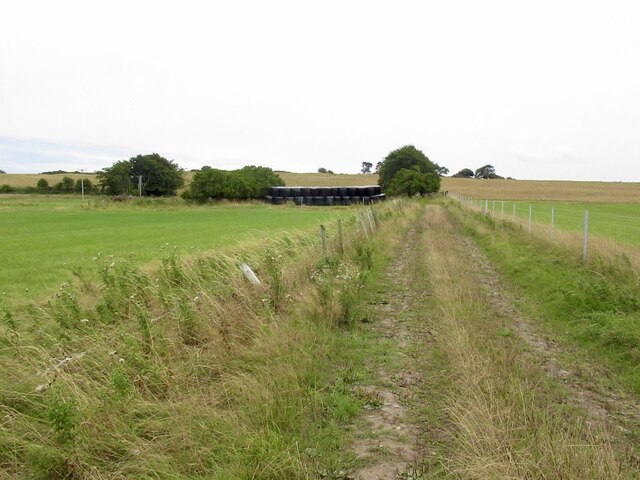
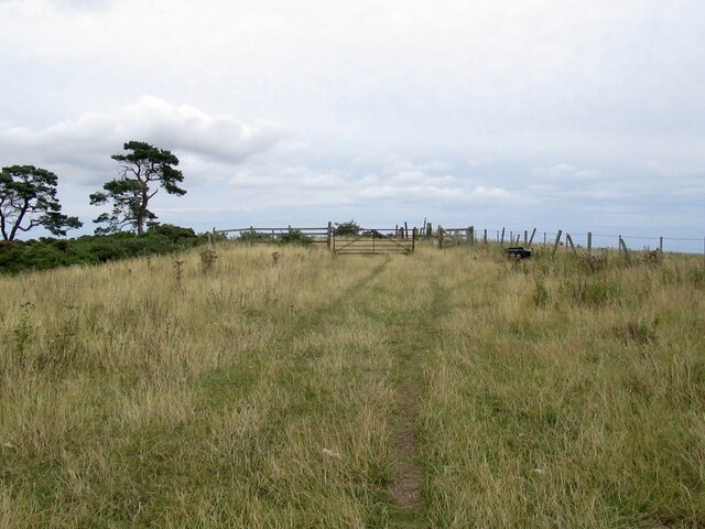
The park is renowned for its natural beauty and tranquility, attracting visitors from near and far. Its downs, characterized by rolling hills and open grasslands, provide visitors with breathtaking panoramic views of the surrounding countryside. The downs are adorned with a variety of wildflowers, creating a vibrant and colorful display during the warmer months.
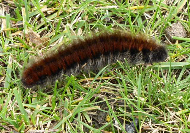
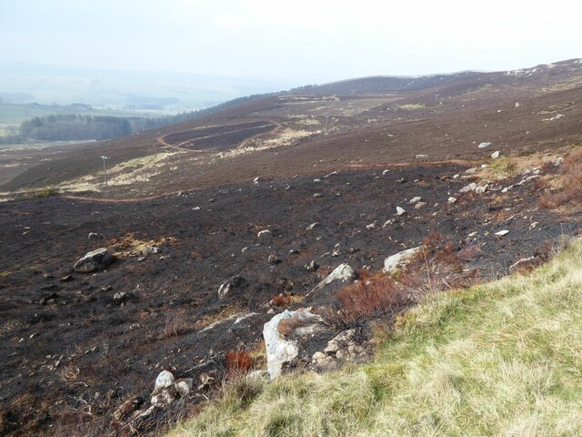
In addition to the downs, Hulne Park also boasts extensive moorland areas, characterized by heather-covered hills and rocky outcrops. These moorlands offer a unique habitat for a range of wildlife, including birds of prey, such as kestrels and buzzards, as well as various species of small mammals and reptiles.
The park is crisscrossed by a network of walking trails, allowing visitors to explore its diverse landscapes at their own pace. These trails offer a chance to immerse oneself in nature, with opportunities for birdwatching, photography, and simply enjoying the peaceful ambiance of the park.
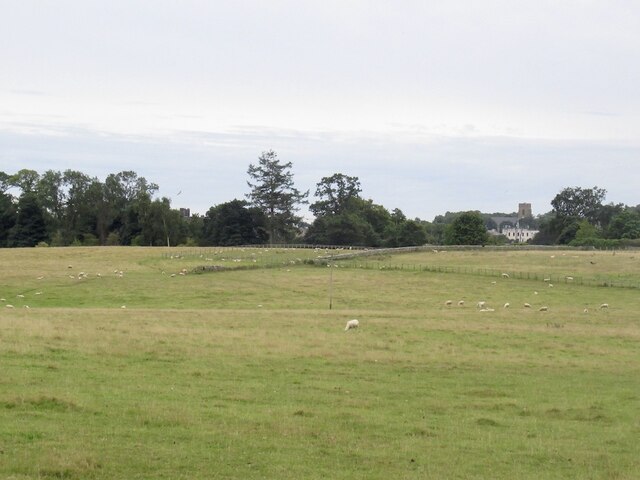
Hulne Park is also home to Hulne Priory, a historic ruin dating back to the 13th century. The priory, nestled amidst the park's natural beauty, adds a touch of history and intrigue to the landscape, making it a popular destination for history enthusiasts and photographers alike.
Overall, Hulne Park in Northumberland offers a captivating blend of downs, moorland, and historical ruins, providing visitors with a truly enchanting and memorable experience.
If you have any feedback on the listing, please let us know in the comments section below.
Hulne Park Images
Images are sourced within 2km of 55.416575/-1.741339 or Grid Reference NU1613. Thanks to Geograph Open Source API. All images are credited.
Hulne Park is located at Grid Ref: NU1613 (Lat: 55.416575, Lng: -1.741339)
Unitary Authority: Northumberland
Police Authority: Northumbria
What 3 Words
///magical.sifts.daunted. Near Alnwick, Northumberland
Nearby Locations
Related Wikis
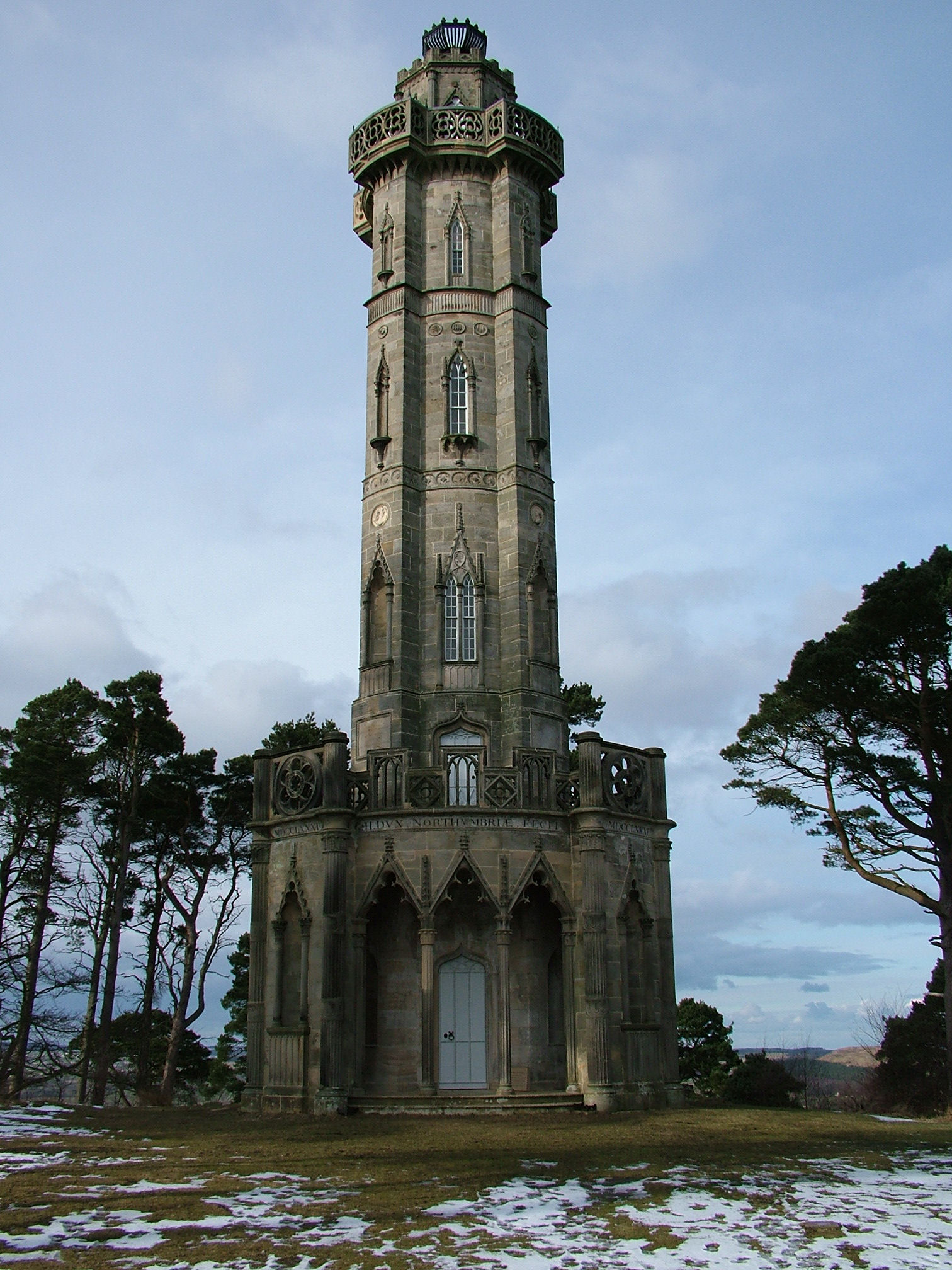
Brizlee Tower
Brizlee Tower (sometimes Brislee Tower) is a Grade 1 listed folly set atop a hill in Hulne Park, the walled home park of the Duke of Northumberland in...

Alnwick Abbey
Alnwick Abbey was founded as a Premonstratensian monastery in 1147 by Eustace fitz John near Alnwick, England, as a daughter house of Newhouse Abbey in...

Battle of Alnwick (1174)
The Battle of Alnwick (1174) is one of two battles fought near the town of Alnwick, in Northumberland, England. In the battle, which took place on 13 July...

RRH Brizlee Wood
Remote Radar Head Brizlee Wood (or RRH Brizlee Wood), is an air defence radar station operated by the Royal Air Force located at Brizlee Wood, near Alnwick...

Hulne Park
Hulne Park is the only one remaining of the three parks that once surrounded Alnwick Castle in Northumberland, providing wood and meat for the Percy family...
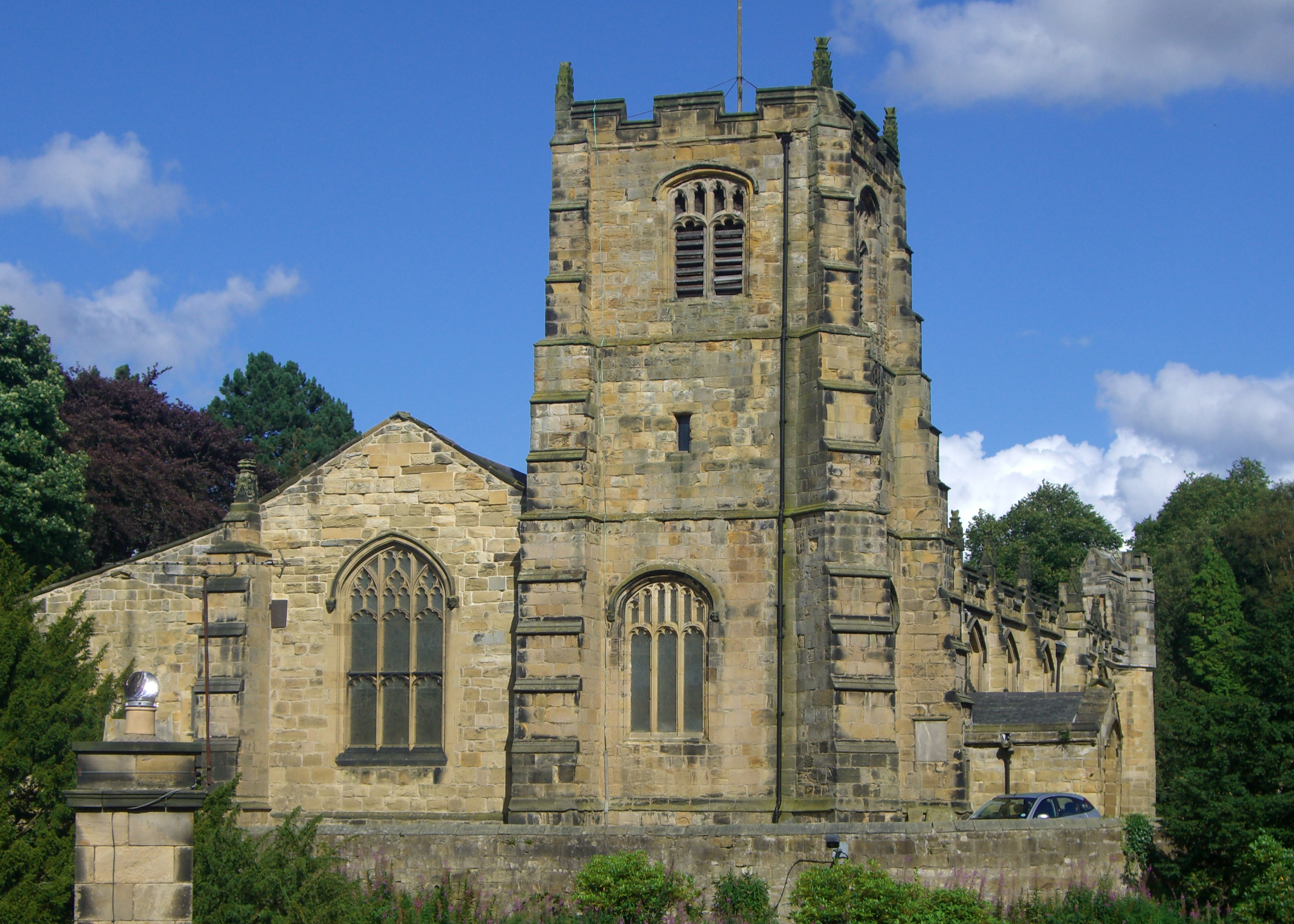
St Michael's Church, Alnwick
St Michael's Church is an Anglican place of worship situated on Bailiffgate in the town of Alnwick in Northumberland, England. The current building dates...

Hulne Priory
Hulne Priory, Hulne Friary or Hulne Abbey was a friary founded in 1240 by the Carmelites or 'Whitefriars'. It is said that the Northumberland site, quite...

Camphill Column, Alnwick
The Camphill Column in Alnwick, Northumberland, is a stone column erected in 1814, celebrating a number of British victories over the French and others...
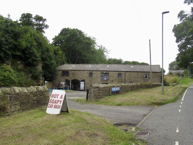
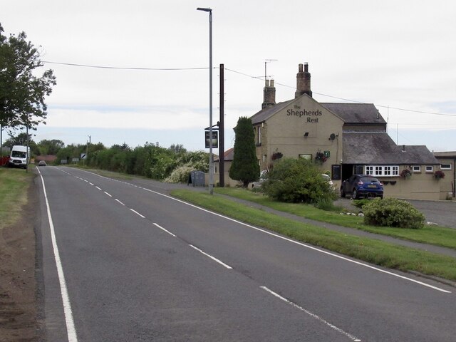
Nearby Amenities
Located within 500m of 55.416575,-1.741339Have you been to Hulne Park?
Leave your review of Hulne Park below (or comments, questions and feedback).