The Ride
Downs, Moorland in Gloucestershire Cotswold
England
The Ride
The Ride, Gloucestershire is a picturesque area located in the southwest of England, known for its stunning natural beauty and diverse landscapes. Stretching across the Downs and Moorland, this region offers a captivating experience for nature enthusiasts and outdoor adventurers alike.
The Downs portion of The Ride boasts rolling hills covered in lush greenery, dotted with charming rural villages and farms. Visitors can enjoy leisurely walks or exhilarating hikes along well-marked trails, taking in panoramic views of the surrounding countryside. The area is also home to a variety of wildlife, including birds of prey, deer, and rare plant species, making it a haven for nature lovers and birdwatchers.
Moving towards the Moorland section of The Ride, the scenery transforms into vast expanses of heather-covered moors and wild, untamed landscapes. This area is renowned for its rugged beauty, with its open spaces and dramatic vistas providing a sense of tranquility and escape from the hustle and bustle of daily life. The Moorland is a popular destination for horseback riding, offering riders the opportunity to explore the area's remote trails and experience the unique connection between man and horse.
Throughout The Ride, visitors can find charming country pubs and quaint tea rooms, where they can indulge in traditional British fare and sample local delicacies. Additionally, the region hosts various events and festivals throughout the year, celebrating the area's rich cultural heritage and agricultural roots.
Overall, The Ride, Gloucestershire is a captivating destination that showcases the natural beauty of the Downs and Moorland, providing visitors with a truly unforgettable experience in the heart of the English countryside.
If you have any feedback on the listing, please let us know in the comments section below.
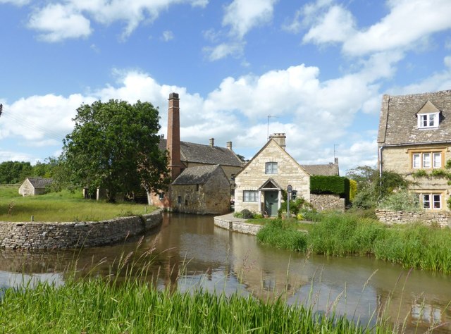
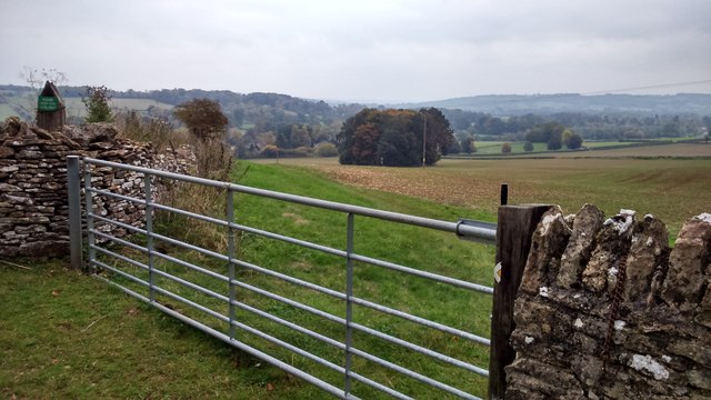
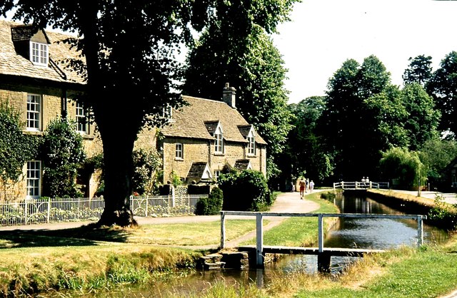
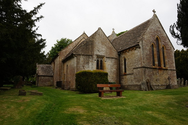
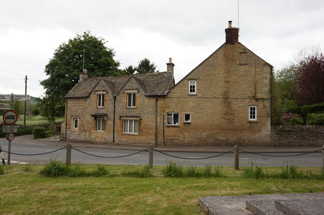
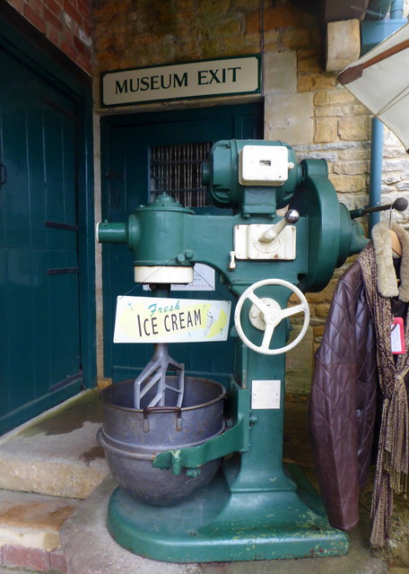
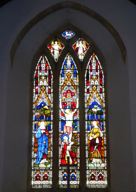
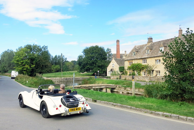
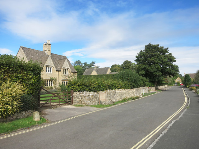
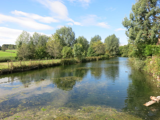
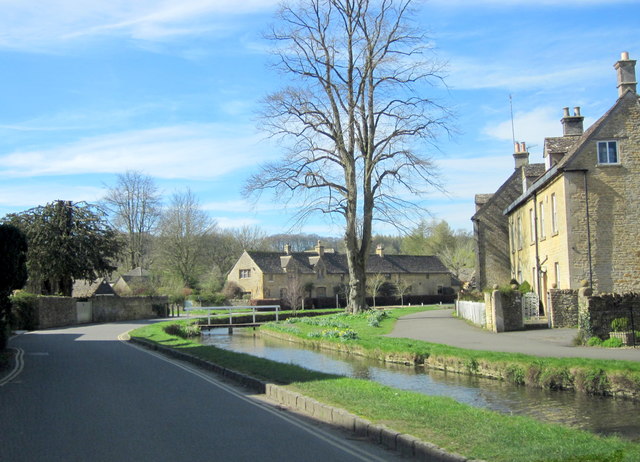
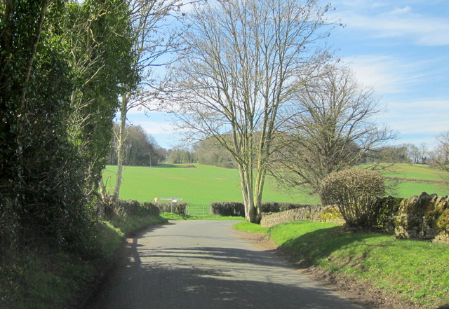
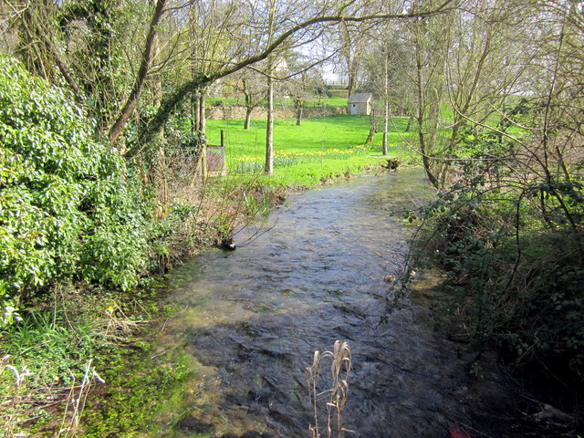
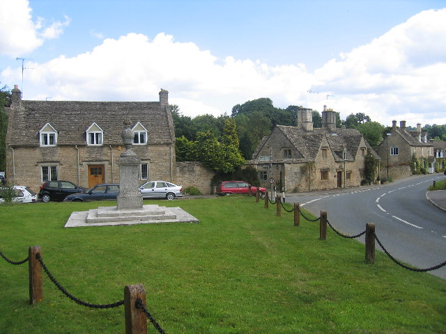
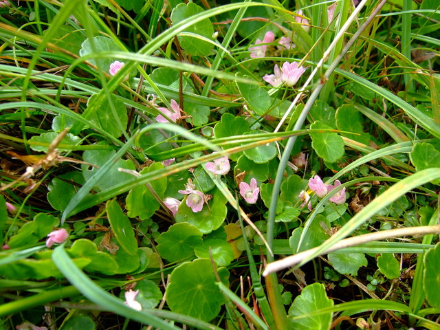
The Ride Images
Images are sourced within 2km of 51.917055/-1.7689684 or Grid Reference SP1524. Thanks to Geograph Open Source API. All images are credited.

The Ride is located at Grid Ref: SP1524 (Lat: 51.917055, Lng: -1.7689684)
Administrative County: Gloucestershire
District: Cotswold
Police Authority: Gloucestershire
What 3 Words
///providing.sweetened.freshest. Near Bourton on the Water, Gloucestershire
Nearby Locations
Related Wikis

Upper Slaughter
Upper Slaughter is a village in the Cotswold district of Gloucestershire, England, 4 miles (6.4 km) south west of Stow-on-the-Wold. The village lies off...

Lower Slaughter
Lower Slaughter is a village in the Cotswold district of Gloucestershire, England, 4 miles (6.4 km) south west of Stow-on-the-Wold. The village is built...
Lower Swell
Lower Swell is a village and former civil parish, now in the parish of Swell, in the Cotswold district, in the county of Gloucestershire, England. It is...
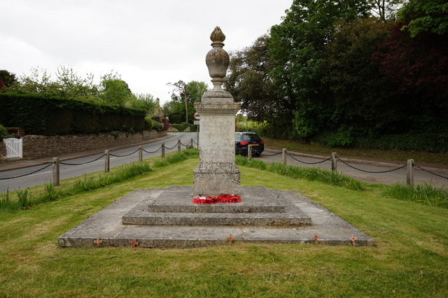
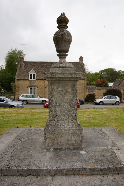
Lower Swell War Memorial
Lower Swell War Memorial is a First World War memorial in the centre of the village of Lower Swell in Gloucestershire in south-western England. The memorial...

Swell, Gloucestershire
Swell is a civil parish in the Cotswold district, in the county of Gloucestershire, England. The population of the civil parish taken at the 2011 census...
Brassey SSSI
Brassey (grid reference SP139223) is a 2.1-hectare (5.2-acre) biological Site of Special Scientific Interest in Gloucestershire, notified in 1954 and renotified...

Quarwood
Quarwood or Quar Wood is a Victorian manor near Stow-on-the-Wold, Gloucestershire, England. It was formerly owned by The Who's bassist John Entwistle....

Abbotswood, Gloucestershire
Abbotswood is a country house and estate near Lower Swell in Gloucestershire, England. It is a grade II listed building and estate, of medieval origins...
Nearby Amenities
Located within 500m of 51.917055,-1.7689684Have you been to The Ride?
Leave your review of The Ride below (or comments, questions and feedback).