Spring Coppice
Wood, Forest in Gloucestershire Cotswold
England
Spring Coppice
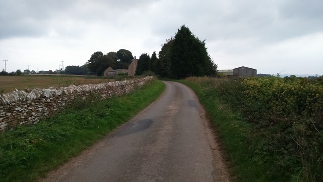
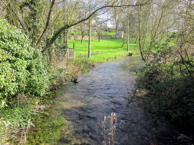
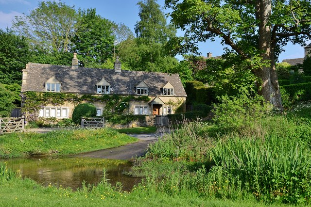
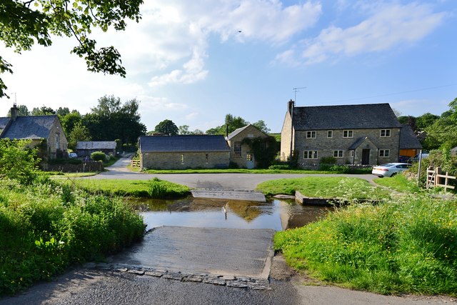
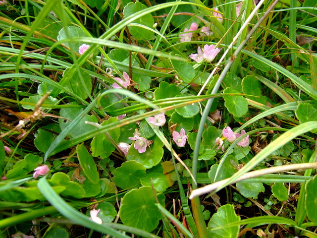
Spring Coppice is a picturesque woodland located in Gloucestershire, England. Spanning over an area of approximately 100 acres, this forest is a haven for nature lovers and outdoor enthusiasts. The coppice is named after the abundance of vibrant spring flowers that bloom throughout the woodland during the season.
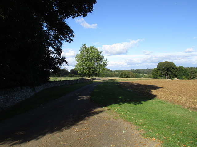
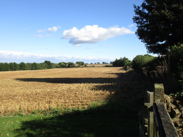
The forest is characterized by a diverse range of tree species, including oak, beech, ash, and birch. These towering trees provide a dense canopy, creating a serene and tranquil atmosphere within the woodland. The forest floor is covered with a carpet of lush green moss and ferns, further enhancing its natural beauty.
Spring Coppice is home to a wide variety of wildlife, making it a popular spot for birdwatchers and wildlife enthusiasts. Visitors may spot woodland birds such as the great spotted woodpecker, tawny owl, and various species of tits. Mammals like deer, foxes, and badgers also inhabit the forest, adding to its biodiversity.
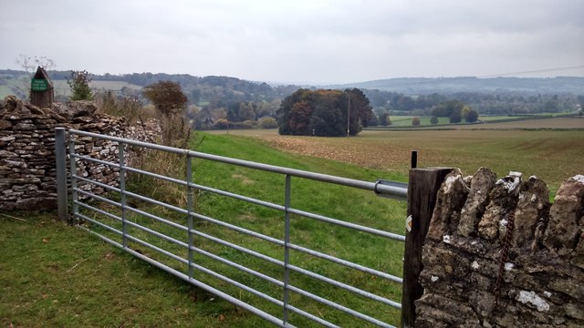
The woodland offers a network of well-maintained footpaths and trails, allowing visitors to explore its beauty at their own pace. These paths wind through the forest, leading to hidden clearings, babbling brooks, and stunning viewpoints. The peaceful ambiance of Spring Coppice makes it an ideal location for walking, hiking, or simply unwinding in nature.
Managed by local conservation groups, Spring Coppice is protected and preserved to maintain its ecological balance. It serves as an important habitat for numerous plant and animal species, contributing to the overall biodiversity of Gloucestershire. The forest continues to captivate visitors with its natural splendor and remains a cherished destination for those seeking solace in the beauty of the outdoors.
If you have any feedback on the listing, please let us know in the comments section below.
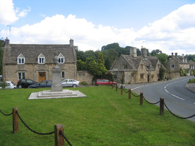
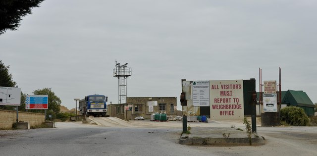
Spring Coppice Images
Images are sourced within 2km of 51.917591/-1.7816004 or Grid Reference SP1524. Thanks to Geograph Open Source API. All images are credited.


Spring Coppice is located at Grid Ref: SP1524 (Lat: 51.917591, Lng: -1.7816004)
Administrative County: Gloucestershire
District: Cotswold
Police Authority: Gloucestershire
What 3 Words
///talent.defectors.famed. Near Bourton on the Water, Gloucestershire
Nearby Locations
Related Wikis

Upper Slaughter
Upper Slaughter is a village in the Cotswold district of Gloucestershire, England, 4 miles (6.4 km) south west of Stow-on-the-Wold. The village lies off...

Lower Slaughter
Lower Slaughter is a village in the Cotswold district of Gloucestershire, England, 4 miles (6.4 km) south west of Stow-on-the-Wold. The village is built...
Brassey SSSI
Brassey (grid reference SP139223) is a 2.1-hectare (5.2-acre) biological Site of Special Scientific Interest in Gloucestershire, notified in 1954 and renotified...
Lower Swell
Lower Swell is a village and former civil parish, now in the parish of Swell, in the Cotswold district, in the county of Gloucestershire, England. It is...
Lower Swell War Memorial
Lower Swell War Memorial is a First World War memorial in the centre of the village of Lower Swell in Gloucestershire in south-western England. The memorial...

Harford Railway Cutting
Harford Railway Cutting (SP135218 to SP141215) is a 1.2-hectare (3.0-acre) geological Site of Special Scientific Interest in Gloucestershire, notified...
Huntsman's Quarry
Huntsman's Quarry (grid reference SP125259) is a 1.6-hectare (4.0-acre) geological Site of Special Scientific Interest in Gloucestershire, notified in...

Swell, Gloucestershire
Swell is a civil parish in the Cotswold district, in the county of Gloucestershire, England. The population of the civil parish taken at the 2011 census...
Nearby Amenities
Located within 500m of 51.917591,-1.7816004Have you been to Spring Coppice?
Leave your review of Spring Coppice below (or comments, questions and feedback).