Drive Plantation
Wood, Forest in Gloucestershire Cotswold
England
Drive Plantation
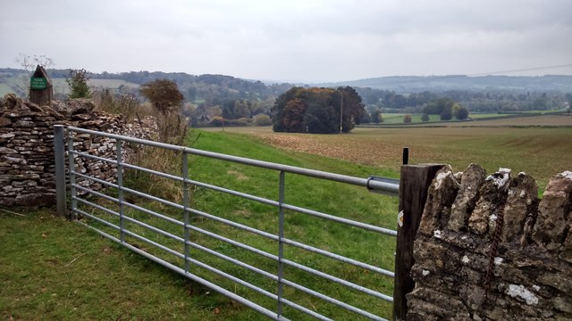
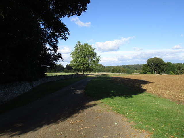
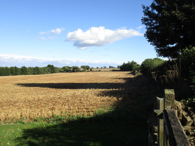
Drive Plantation is a woodland area located in Gloucestershire, England. Situated in the heart of the Forest of Dean, it covers an approximate area of 100 acres. The plantation is characterized by its dense growth of various tree species, creating a visually stunning and ecologically diverse environment.
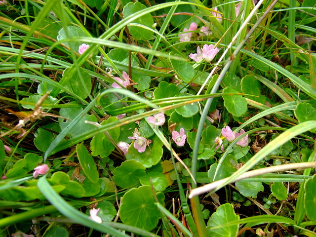
The woodland is primarily composed of deciduous trees, including oak, beech, ash, and birch. These trees provide a habitat for a wide range of wildlife, such as deer, foxes, badgers, and numerous bird species. The forest floor is covered in a thick carpet of mosses, ferns, and wildflowers, further enhancing the biodiversity of the area.
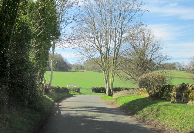
Drive Plantation is a popular destination for nature enthusiasts, hikers, and birdwatchers. The site offers numerous walking trails, allowing visitors to explore the woodland and admire its natural beauty. The peaceful atmosphere and tranquil surroundings make it an ideal spot for relaxation and reconnecting with nature.
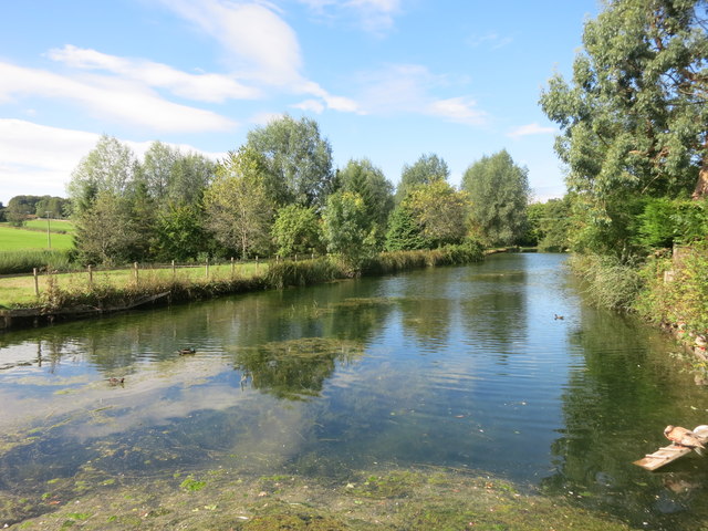
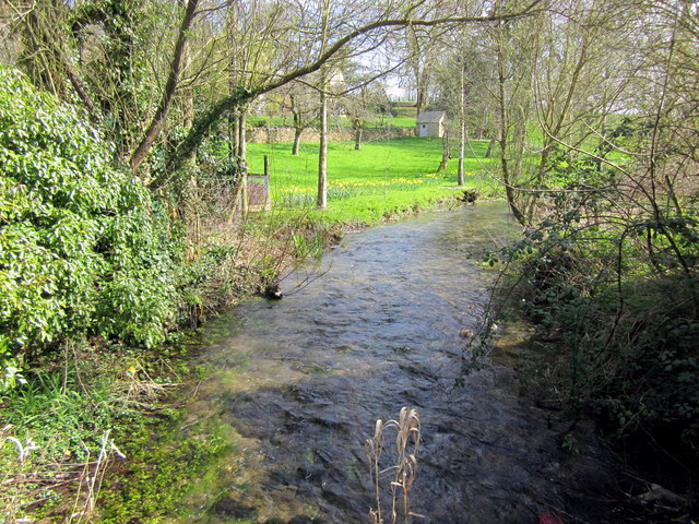
In addition to its recreational value, Drive Plantation also plays a vital role in the conservation of the local ecosystem. The woodland helps to mitigate the effects of climate change by acting as a carbon sink, absorbing and storing significant amounts of carbon dioxide. It also acts as a natural water filter, improving water quality and reducing the risk of flooding in the surrounding areas.
Overall, Drive Plantation in Gloucestershire is a remarkable woodland that offers both recreational and ecological benefits. Its diverse range of trees, wildlife, and walking trails make it a must-visit destination for anyone seeking to experience the beauty of the Forest of Dean.
If you have any feedback on the listing, please let us know in the comments section below.
Drive Plantation Images
Images are sourced within 2km of 51.918841/-1.7722452 or Grid Reference SP1524. Thanks to Geograph Open Source API. All images are credited.


Drive Plantation is located at Grid Ref: SP1524 (Lat: 51.918841, Lng: -1.7722452)
Administrative County: Gloucestershire
District: Cotswold
Police Authority: Gloucestershire
What 3 Words
///throat.surprise.mainly. Near Stow on the Wold, Gloucestershire
Nearby Locations
Related Wikis

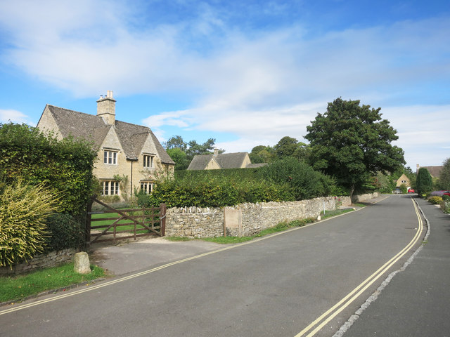
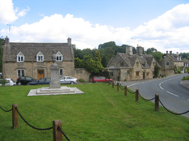
Upper Slaughter
Upper Slaughter is a village in the Cotswold district of Gloucestershire, England, 4 miles (6.4 km) south west of Stow-on-the-Wold. The village lies off...

Lower Slaughter
Lower Slaughter is a village in the Cotswold district of Gloucestershire, England, 4 miles (6.4 km) south west of Stow-on-the-Wold. The village is built...
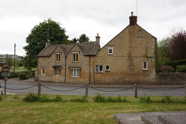
Lower Swell
Lower Swell is a village and former civil parish, now in the parish of Swell, in the Cotswold district, in the county of Gloucestershire, England. It is...
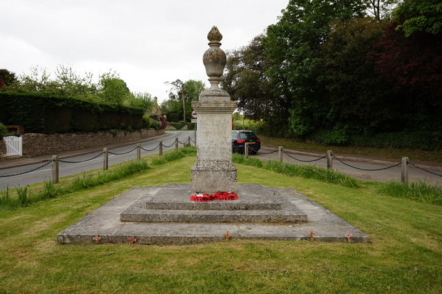
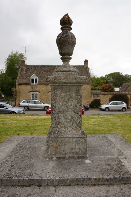
Lower Swell War Memorial
Lower Swell War Memorial is a First World War memorial in the centre of the village of Lower Swell in Gloucestershire in south-western England. The memorial...

Swell, Gloucestershire
Swell is a civil parish in the Cotswold district, in the county of Gloucestershire, England. The population of the civil parish taken at the 2011 census...
Brassey SSSI
Brassey (grid reference SP139223) is a 2.1-hectare (5.2-acre) biological Site of Special Scientific Interest in Gloucestershire, notified in 1954 and renotified...

Abbotswood, Gloucestershire
Abbotswood is a country house and estate near Lower Swell in Gloucestershire, England. It is a grade II listed building and estate, of medieval origins...
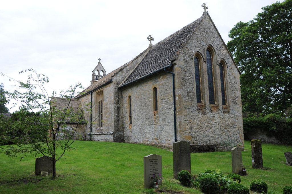
Church of St Mary, Upper Swell
The Anglican Church of St Mary at Upper Swell in the Cotswold District of Gloucestershire, England was built in the 12th century. It is a Grade I listed...
Nearby Amenities
Located within 500m of 51.918841,-1.7722452Have you been to Drive Plantation?
Leave your review of Drive Plantation below (or comments, questions and feedback).