East Wood
Downs, Moorland in Durham
England
East Wood
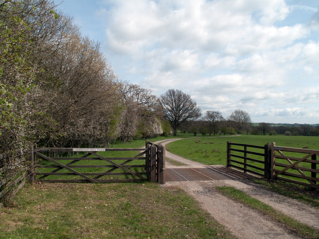
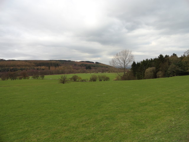
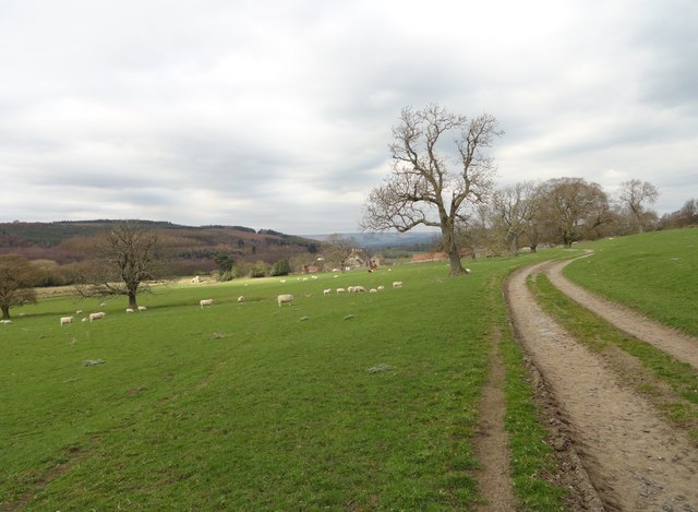
East Wood is a small village located in Durham County, England. Situated in the northeastern part of the country, it is surrounded by picturesque countryside and rolling hills, giving it a charming rural feel. The village is part of the Downs and Moorland area, renowned for its natural beauty and tranquility.
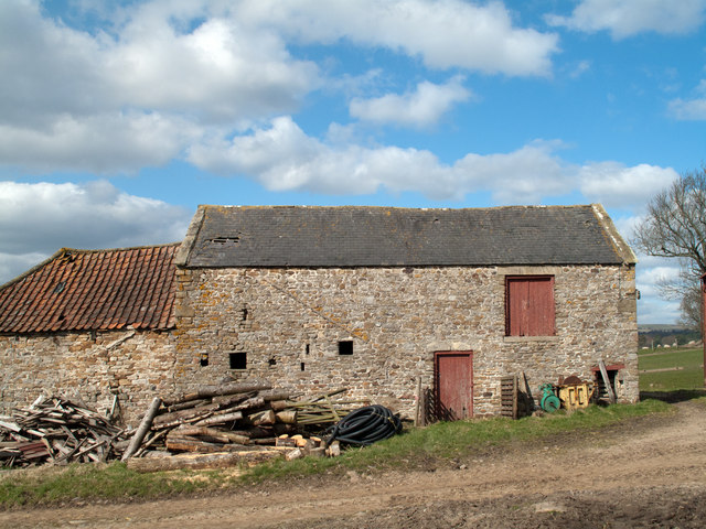
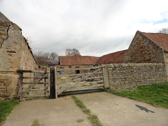
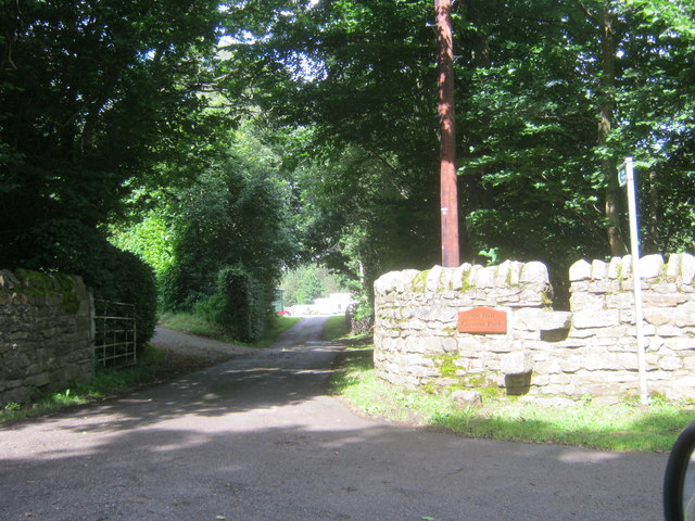
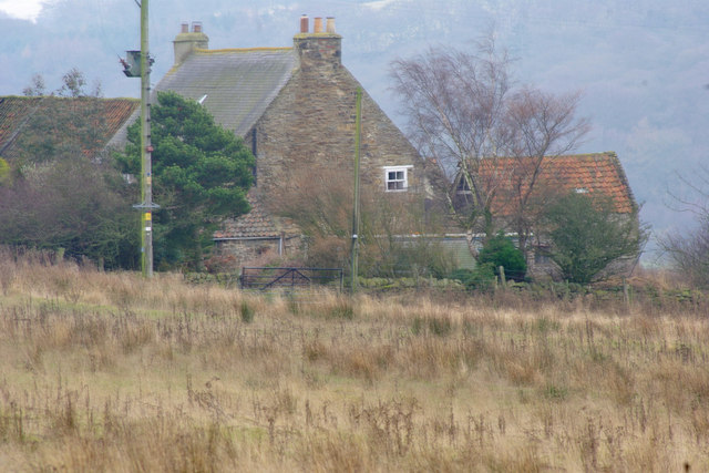
East Wood is characterized by its traditional architecture, with many well-preserved historic buildings that showcase the village's rich history. The local community takes pride in maintaining the village's heritage, and visitors can expect to see charming stone cottages and well-tended gardens throughout.
The village offers a range of amenities to cater to its residents' needs. There is a local pub that serves as a social hub for the community, offering a cozy atmosphere and traditional British cuisine. Additionally, a small convenience store provides essential groceries and daily necessities.
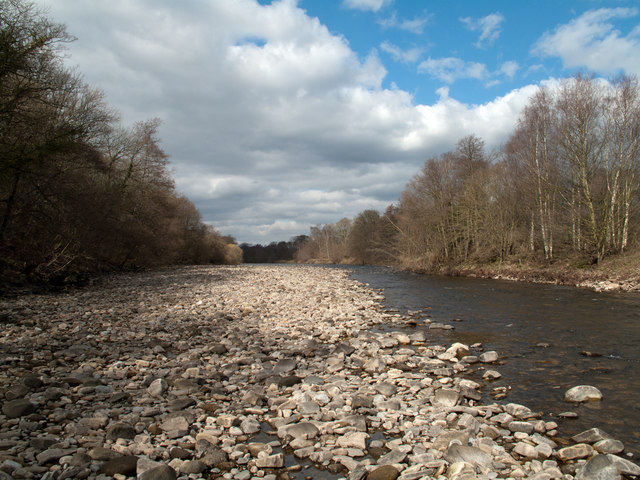
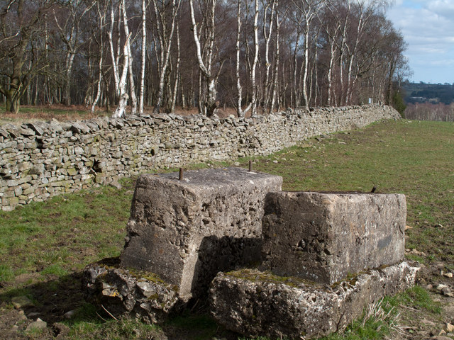
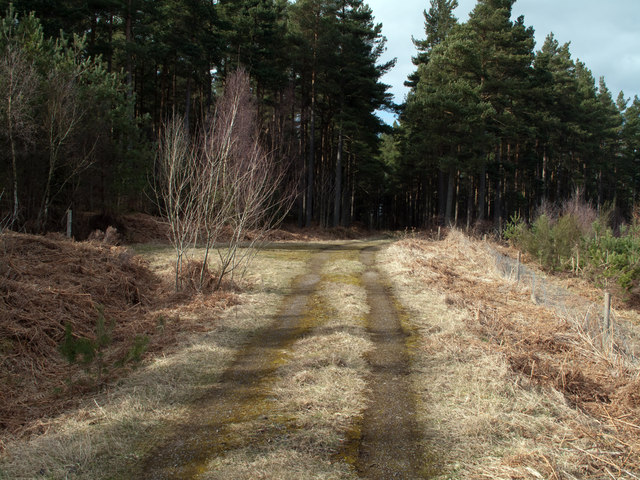
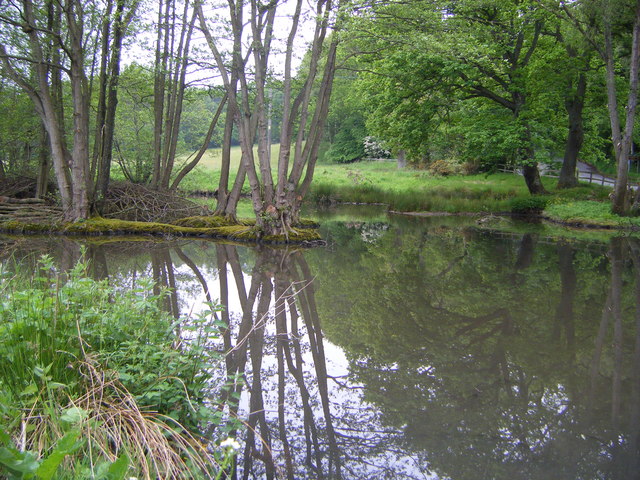
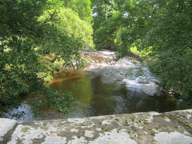
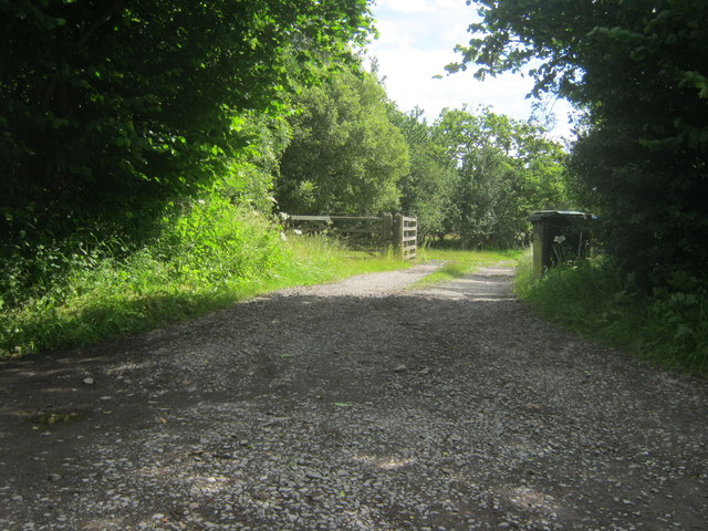
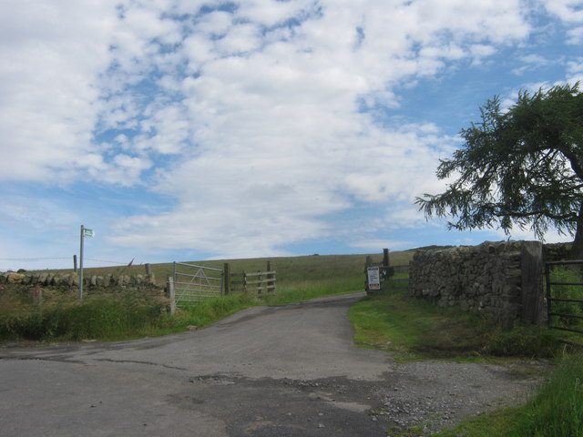
For outdoor enthusiasts, East Wood is a paradise. The village is surrounded by beautiful countryside, providing ample opportunities for hiking, cycling, and exploring nature. The Downs and Moorland area is home to several nature reserves and parks, offering stunning views and diverse wildlife.
East Wood is well-connected to nearby towns and cities, making it an ideal location for those seeking a peaceful village lifestyle while still having access to urban amenities. The village is situated a short drive away from Durham City, where residents can find a wider range of shops, restaurants, and entertainment options.
In summary, East Wood in Durham is a charming village nestled in the Downs and Moorland area. With its traditional architecture, natural beauty, and close-knit community, it offers a tranquil and idyllic setting for residents and visitors alike.
If you have any feedback on the listing, please let us know in the comments section below.
East Wood Images
Images are sourced within 2km of 54.696161/-1.8348086 or Grid Reference NZ1033. Thanks to Geograph Open Source API. All images are credited.


East Wood is located at Grid Ref: NZ1033 (Lat: 54.696161, Lng: -1.8348086)
Unitary Authority: County Durham
Police Authority: Durham
What 3 Words
///pulse.limelight.copycat. Near Hamsterley, Co. Durham
Nearby Locations
Related Wikis
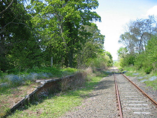
Harperley railway station
Harperley railway station served the Harperley Hall Estate and the nearby hamlet of Low Harperley, close to the village of Fir Tree in County Durham, North...

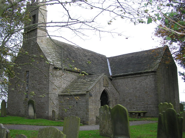
Bedburn
Bedburn is a village in County Durham, in England. It is in the civil parish of South Bedburn, near Hamsterley, and Hamsterley Forest. The Bedburn Beck...

South Bedburn
South Bedburn is a civil parish in County Durham, England. The population of the civil parish at the 2011 census was 171. == References == == External... ==

Bedburn Beck
Bedburn Beck is a 16.8 kilometres (10.4 mi) long, upper tributary of the River Wear in County Durham, England. The beck and its tributaries, including...
Craigside
Craigside is a small village in County Durham, England. It is situated close to the River Wear, west of Crook. == References ==
Hamsterley, Bishop Auckland
Hamsterley is a village in County Durham, England. It is situated a few miles west of Bishop Auckland. The village lies on a rise above the upper reaches...
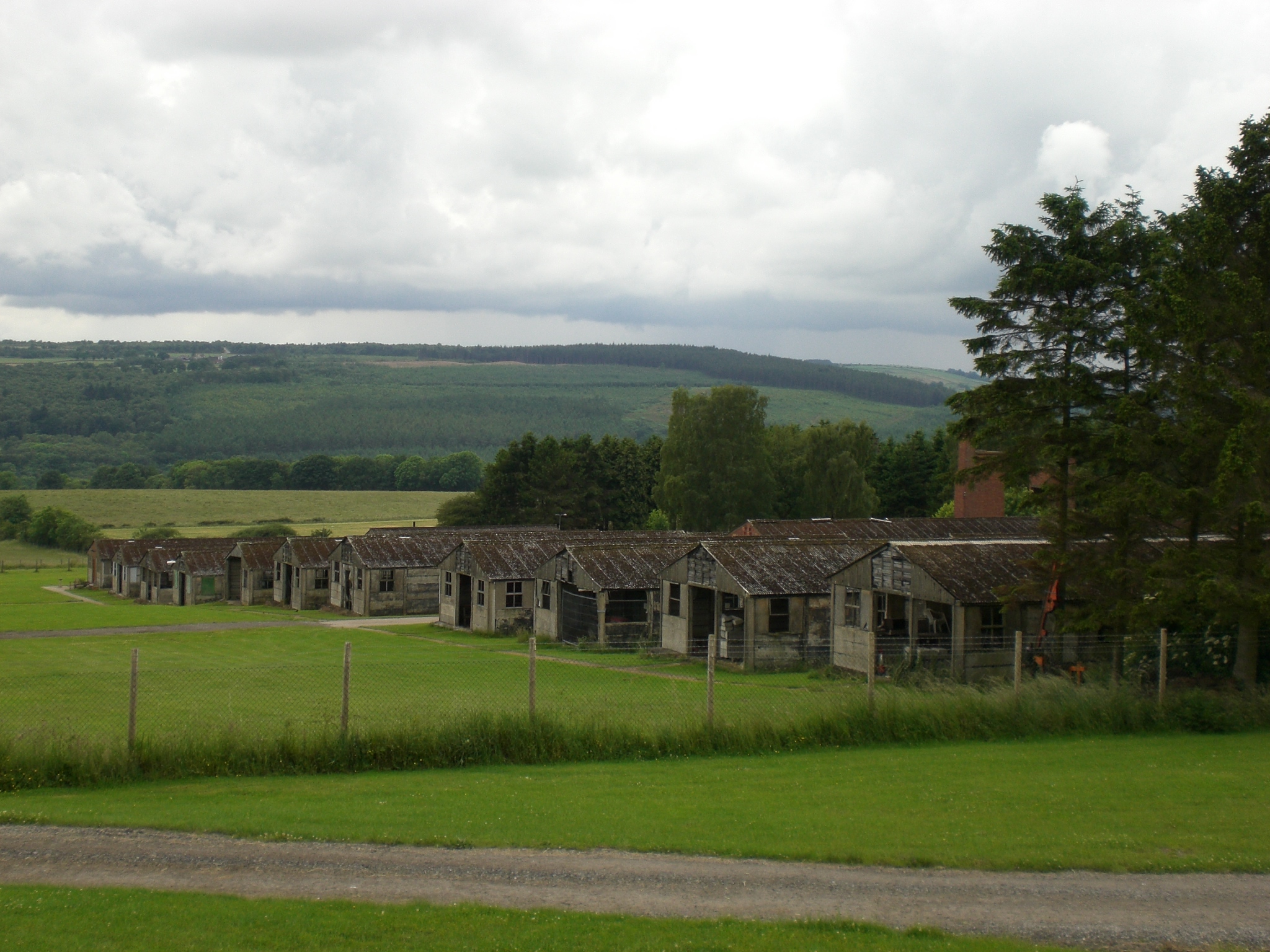
Harperley POW Camp 93
Harperley POW Camp 93 is a surviving purpose-built World War II Prisoner of War (PoW) camp built to accommodate up to 1,400 inmates at Fir Tree near Crook...
Hamsterley Forest
Hamsterley Forest is a commercial forest in County Durham owned and managed by Forestry England. It is the largest forest in County Durham and covers...
Nearby Amenities
Located within 500m of 54.696161,-1.8348086Have you been to East Wood?
Leave your review of East Wood below (or comments, questions and feedback).