Colsterdale Moor
Downs, Moorland in Yorkshire Harrogate
England
Colsterdale Moor

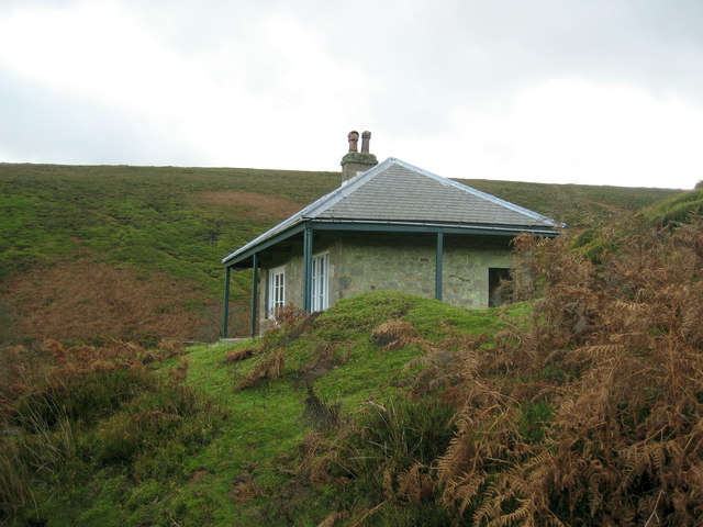
Colsterdale Moor is a picturesque expanse of moorland located in the county of Yorkshire, England. Situated in the Nidderdale Area of Outstanding Natural Beauty, this vast area is known for its stunning landscapes, rolling hills, and diverse wildlife.
Covering an area of approximately 7 square miles, Colsterdale Moor is characterized by its gently undulating terrain, with elevations ranging from 1,000 to 1,300 feet above sea level. The moorland is predominantly covered in heather, providing a vibrant purple hue during the flowering season, which typically occurs from late summer to early autumn.
The area is crisscrossed by a network of footpaths and trails, making it a popular destination for hikers, walkers, and nature enthusiasts. These paths offer breathtaking views of the surrounding countryside, including the nearby Yorkshire Dales and the River Nidd, which meanders through the valley below.
Colsterdale Moor is also home to a variety of wildlife, including birds of prey such as red kites, kestrels, and merlins. The moorland provides a vital habitat for these species, as well as numerous other bird species, including lapwings, curlews, and skylarks.
The moorland has a rich historical significance, with evidence of human habitation dating back thousands of years. Ancient burial mounds, known as barrows, can still be found scattered across the landscape, providing a glimpse into the area's past.
Overall, Colsterdale Moor offers visitors a tranquil and unspoiled natural environment, providing a unique opportunity to experience the beauty and serenity of the Yorkshire countryside.
If you have any feedback on the listing, please let us know in the comments section below.
Colsterdale Moor Images
Images are sourced within 2km of 54.223863/-1.837034 or Grid Reference SE1080. Thanks to Geograph Open Source API. All images are credited.


![Junction of gills The junction of Steel House Gill [left] and Long Gill [ahead] must mark the start of the River Burn, which is an insignificant beck at this point, towards the western end of the old coal mining area.](https://s1.geograph.org.uk/geophotos/01/27/63/1276337_4e2bfb77.jpg)
Colsterdale Moor is located at Grid Ref: SE1080 (Lat: 54.223863, Lng: -1.837034)
Division: North Riding
Administrative County: North Yorkshire
District: Harrogate
Police Authority: North Yorkshire
What 3 Words
///puddings.deposits.supported. Near Leyburn, North Yorkshire
Nearby Locations
Related Wikis

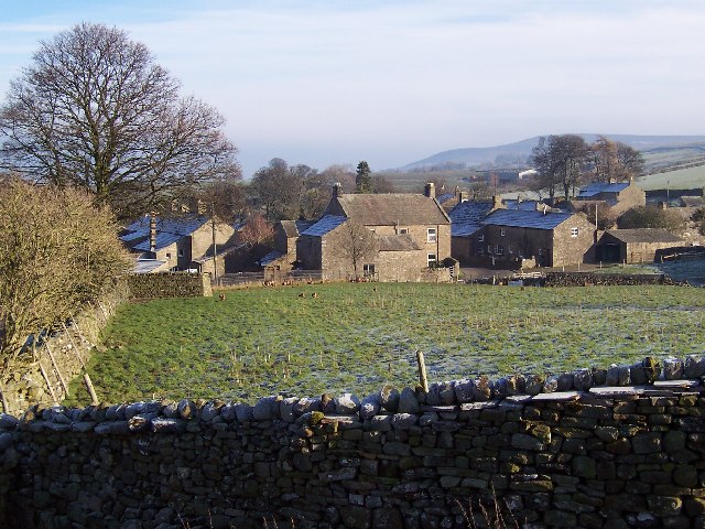
Colsterdale
Colsterdale is the valley of the River Burn, a tributary of the River Ure, in the Yorkshire Dales in North Yorkshire, England. It gives its name to a hamlet...

East Scrafton
East Scrafton is a hamlet in the Yorkshire Dales in the Richmondshire district of North Yorkshire, England. It is about 3 miles (5 km) south-west of Leyburn...
West Scrafton
West Scrafton is a village and civil parish in Coverdale in the Yorkshire Dales, England. It is located 4 miles (6.4 km) south west of Leyburn. It falls...

Caldbergh
Caldbergh (Caldeber in the Domesday Book) is a hamlet within the Yorkshire Dales, North Yorkshire, England. It lies about four miles south of Leyburn....

Caldbergh with East Scrafton
Caldbergh with East Scrafton is a civil parish in the Richmondshire district of North Yorkshire, England. The parish includes the settlements of Caldbergh...

Gollinglith Foot
Gollinglith Foot (GOWN-li FOOT), historically also spelt Gownley Foot, is a hamlet in the civil parish of Healey in the Harrogate district of North Yorkshire...

Nidderdale Caves
The Nidderdale Caves are a series of caves in Upper Nidderdale in North Yorkshire, England. There are two cave systems and most of the caves are in some...
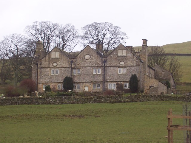
Braithwaite Hall
Braithwaite Hall is a 17th-century manor house in Coverdale in the Yorkshire Dales in England. It lies 1.8 miles (2.9 km) west of the village of East...
Have you been to Colsterdale Moor?
Leave your review of Colsterdale Moor below (or comments, questions and feedback).