West Shipley Wood
Wood, Forest in Durham
England
West Shipley Wood
The requested URL returned error: 429 Too Many Requests
If you have any feedback on the listing, please let us know in the comments section below.
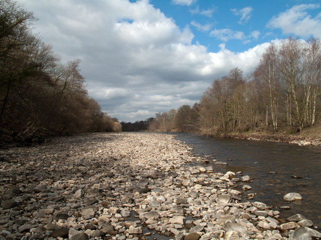
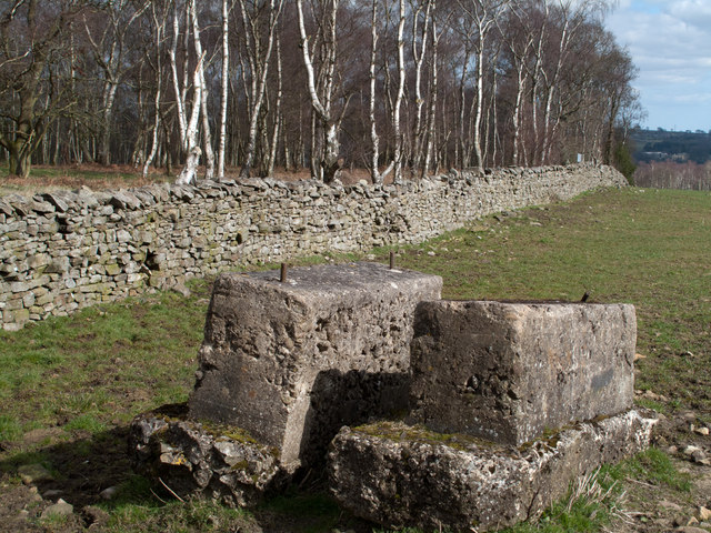
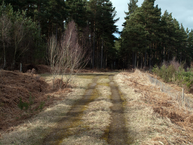
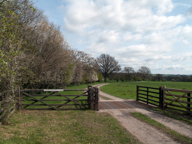
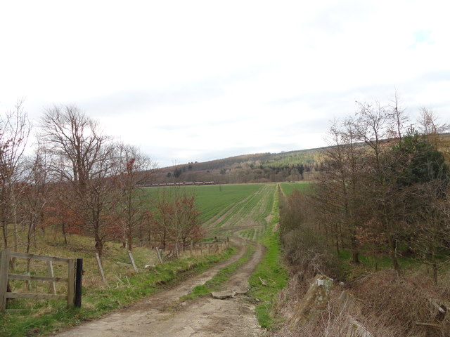
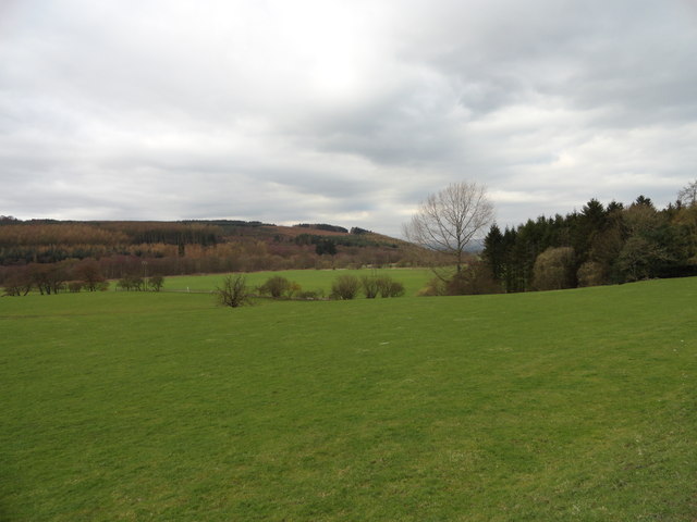
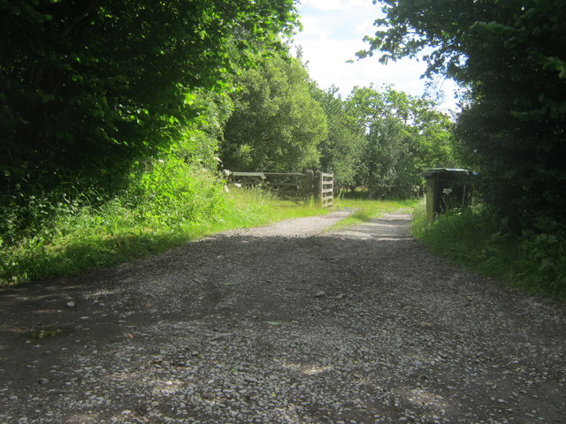
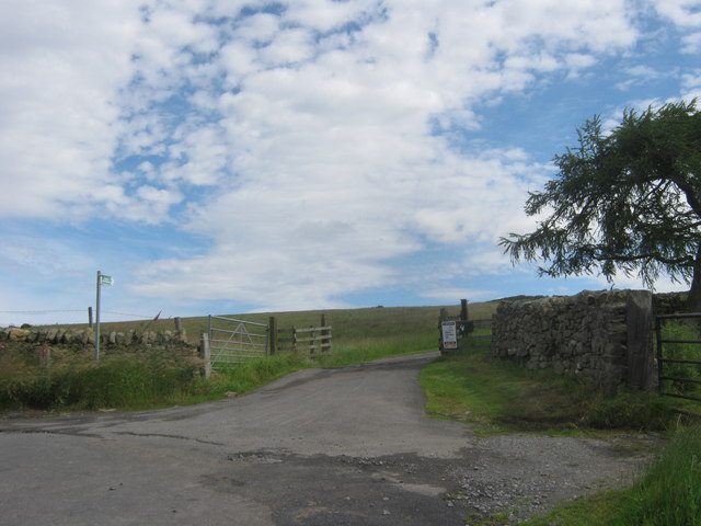
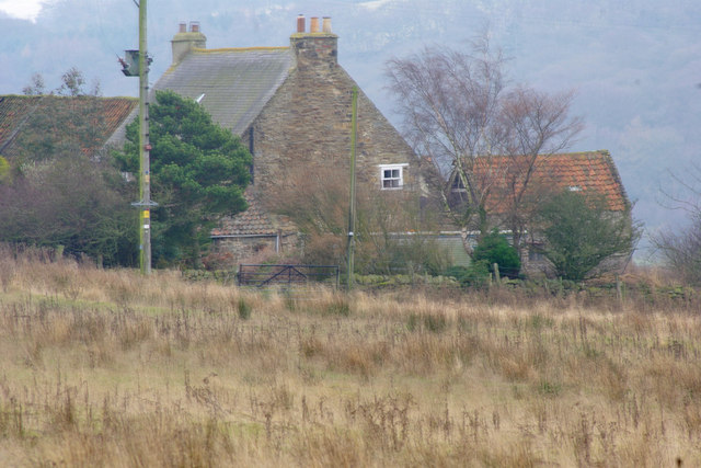
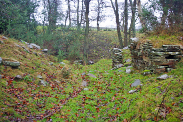
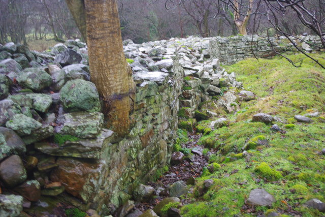
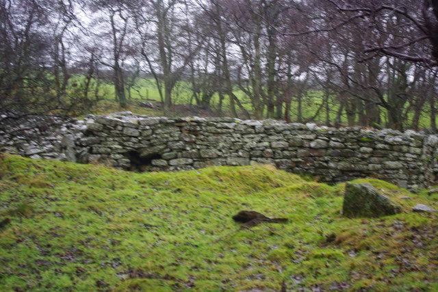
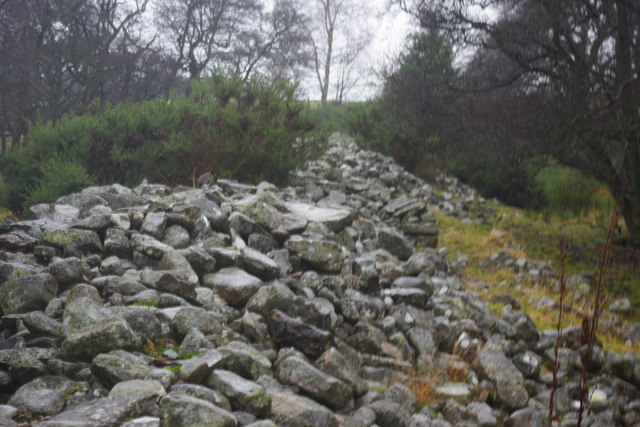
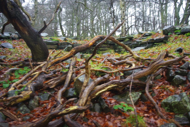
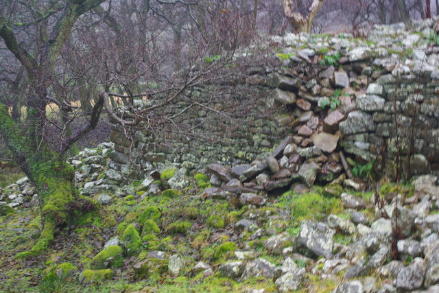
West Shipley Wood Images
Images are sourced within 2km of 54.699253/-1.8423836 or Grid Reference NZ1033. Thanks to Geograph Open Source API. All images are credited.


West Shipley Wood is located at Grid Ref: NZ1033 (Lat: 54.699253, Lng: -1.8423836)
Unitary Authority: County Durham
Police Authority: Durham
What 3 Words
///hurls.showering.compacts. Near Hamsterley, Co. Durham
Nearby Locations
Related Wikis
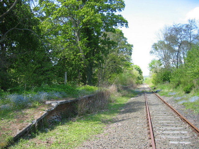
Harperley railway station
Harperley railway station served the Harperley Hall Estate and the nearby hamlet of Low Harperley, close to the village of Fir Tree in County Durham, North...

Bedburn
Bedburn is a village in County Durham, in England. It is in the civil parish of South Bedburn, near Hamsterley, and Hamsterley Forest. The Bedburn Beck...

South Bedburn
South Bedburn is a civil parish in County Durham, England. The population of the civil parish at the 2011 census was 171. == References == == External... ==
Craigside
Craigside is a small village in County Durham, England. It is situated close to the River Wear, west of Crook. == References ==
Nearby Amenities
Located within 500m of 54.699253,-1.8423836Have you been to West Shipley Wood?
Leave your review of West Shipley Wood below (or comments, questions and feedback).