Sawood Moss
Downs, Moorland in Yorkshire
England
Sawood Moss
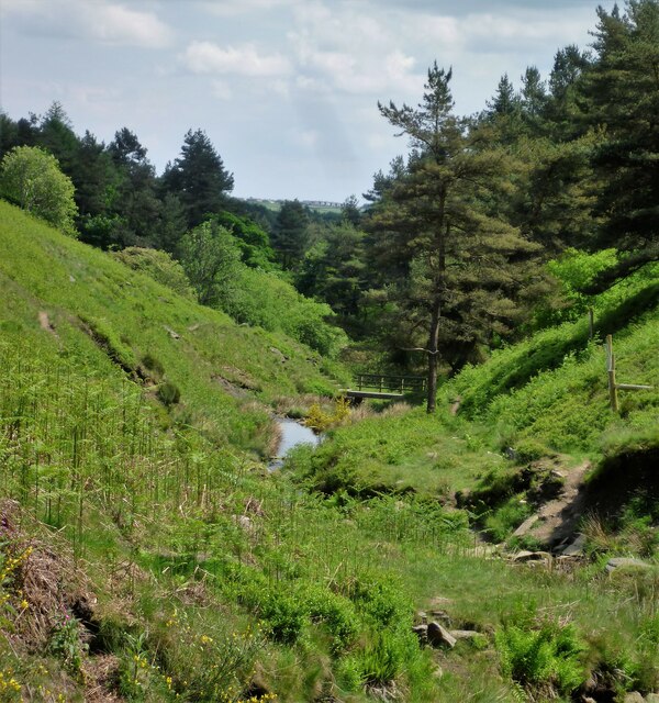
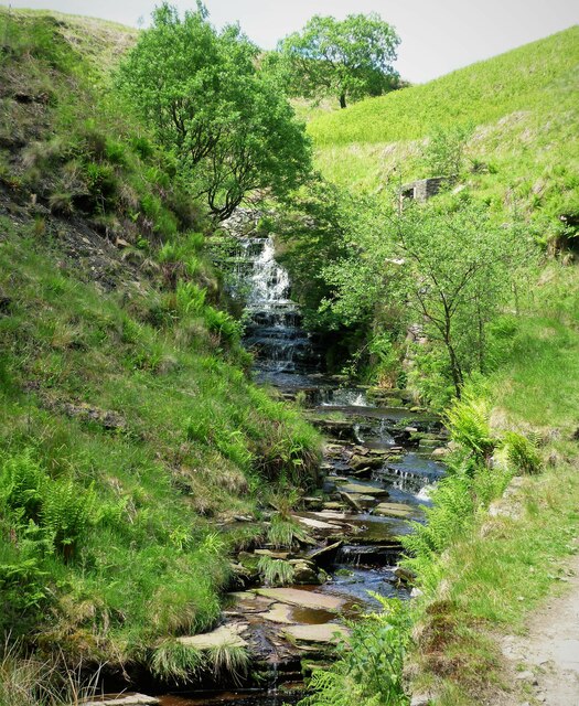
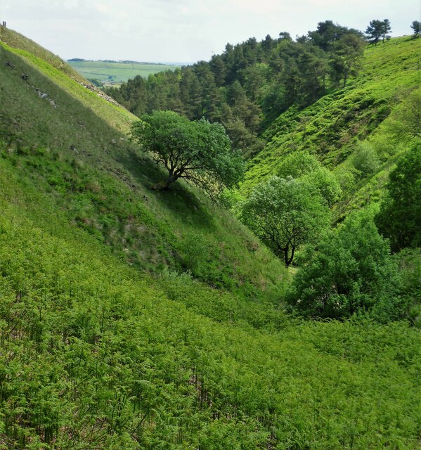
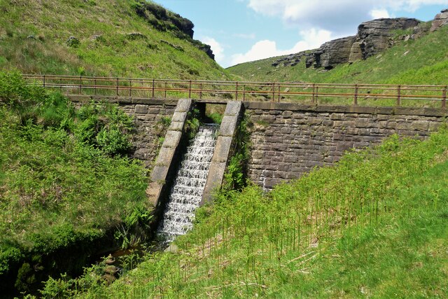
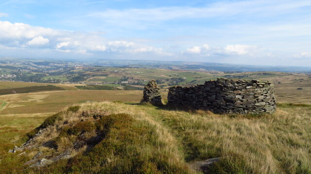
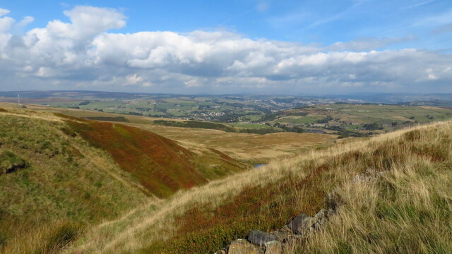
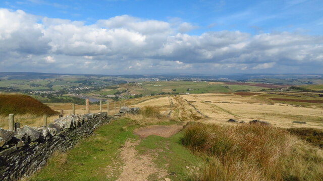
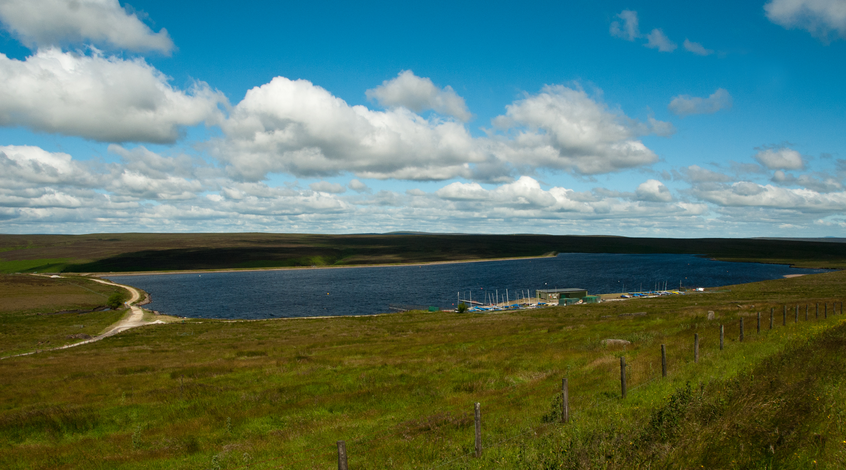
Sawood Moss is a picturesque and serene area located in the heart of Yorkshire, England. Nestled amidst the beautiful Yorkshire Downs and Moorland, this region offers a truly unique and enchanting experience to visitors. With its breathtaking landscapes and tranquil atmosphere, Sawood Moss is a haven for nature lovers and outdoor enthusiasts.
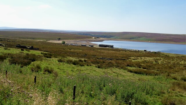
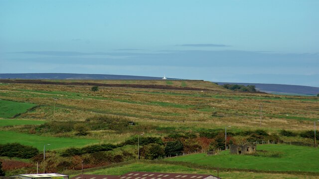
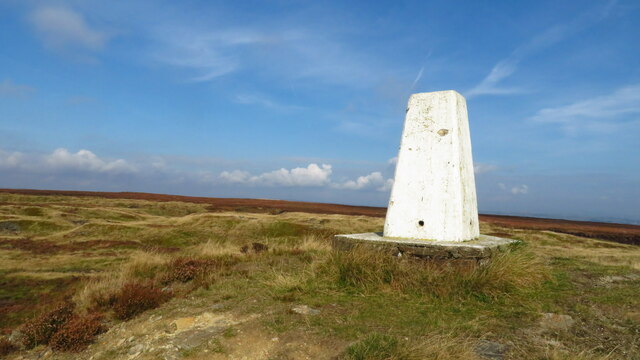
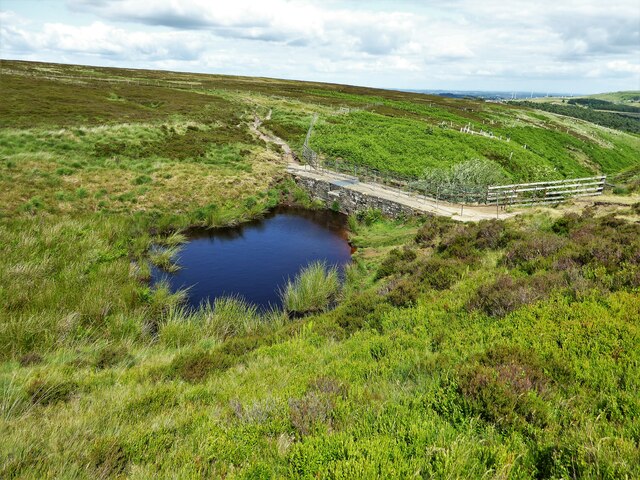
The area is characterized by its rolling hills, vast open spaces, and rich biodiversity. The Yorkshire Downs, with their lush greenery and panoramic views, provide ample opportunities for hiking, walking, and exploring the stunning countryside. The Moorland, on the other hand, boasts expansive heather-clad hills and breathtaking vistas, making it a popular destination for nature photographers and birdwatchers.
Sawood Moss is home to a diverse range of wildlife, including rare species such as the red grouse and curlew, making it an important conservation area. The region's unique ecosystem supports a variety of plant and animal life, adding to its charm and appeal.
Aside from its natural beauty, Sawood Moss also offers a glimpse into Yorkshire's rich history and heritage. There are several historic sites and landmarks in the area, including ancient ruins and traditional Yorkshire villages, giving visitors a chance to immerse themselves in the region's cultural past.
Whether you are seeking a peaceful retreat in nature or an opportunity to explore Yorkshire's natural and historical wonders, Sawood Moss is a destination that promises to leave you in awe of its beauty and tranquility.
If you have any feedback on the listing, please let us know in the comments section below.
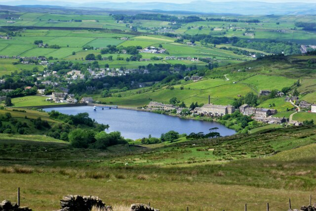
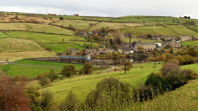
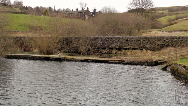
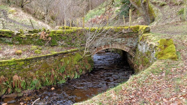
Sawood Moss Images
Images are sourced within 2km of 53.790766/-1.9306701 or Grid Reference SE0432. Thanks to Geograph Open Source API. All images are credited.


Sawood Moss is located at Grid Ref: SE0432 (Lat: 53.790766, Lng: -1.9306701)
Division: West Riding
Unitary Authority: Bradford
Police Authority: West Yorkshire
What 3 Words
///backhand.wedding.overtime. Near Denholme, West Yorkshire
Nearby Locations
Related Wikis

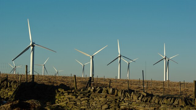
Ovenden Moor Wind Farm
Ovenden Moor Wind Farm is a wind powered electricity generating site in England. Ovenden Moor is located north of Halifax and west of Bradford in West...
Warley Moor Reservoir
Warley Moor Reservoir, also known as Fly Flatts Reservoir, is a drinking water reservoir in West Yorkshire, England, owned and operated by Yorkshire Water...

Worth Valley
Worth Valley is a ward in the City of Bradford Metropolitan District Council, West Yorkshire. The population of the ward taken at the 2011 Census was 14...

Denholme
Denholme is a town and civil parish in the Bradford Metropolitan Borough, West Yorkshire, England. It is 8 miles (13 km) west of Bradford, 7 miles (11...
Nearby Amenities
Located within 500m of 53.790766,-1.9306701Have you been to Sawood Moss?
Leave your review of Sawood Moss below (or comments, questions and feedback).