Great Clough
Valley in Yorkshire
England
Great Clough
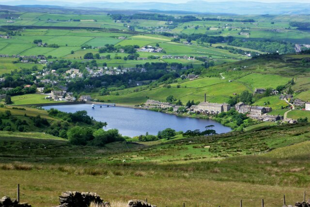
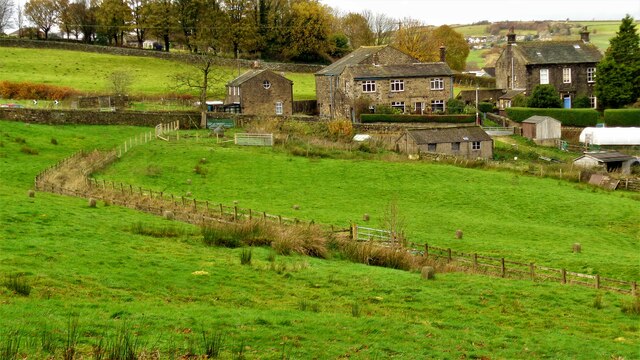
Great Clough is a picturesque valley located in the county of Yorkshire, England. Nestled amidst the stunning landscape of the Yorkshire Dales National Park, it is renowned for its natural beauty and tranquil atmosphere. The valley is situated near the village of Malham, which is approximately 5 miles north of Skipton.
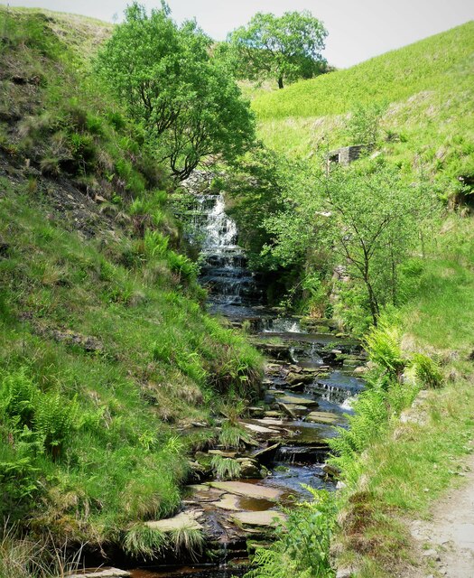
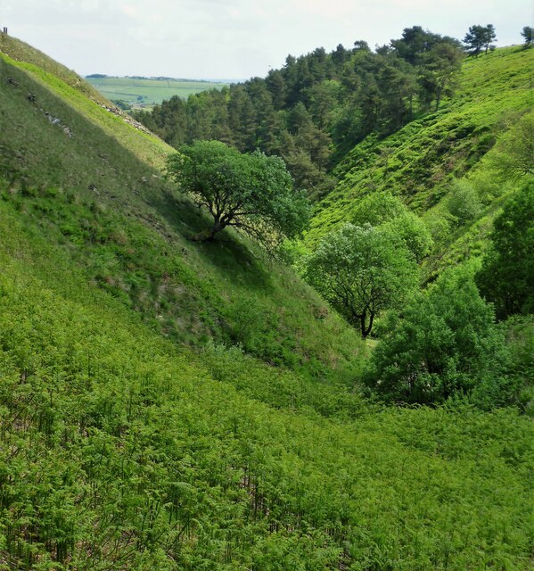
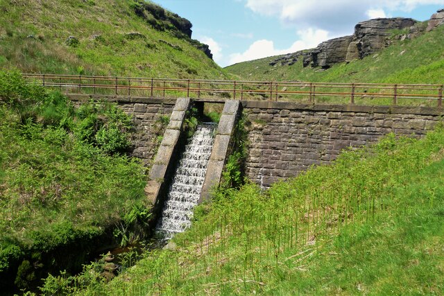
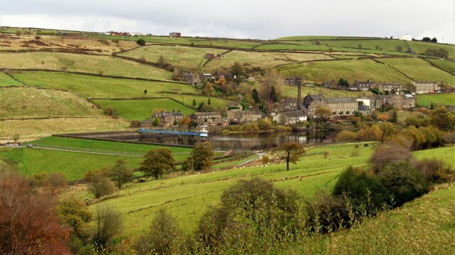
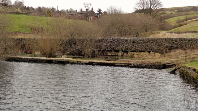
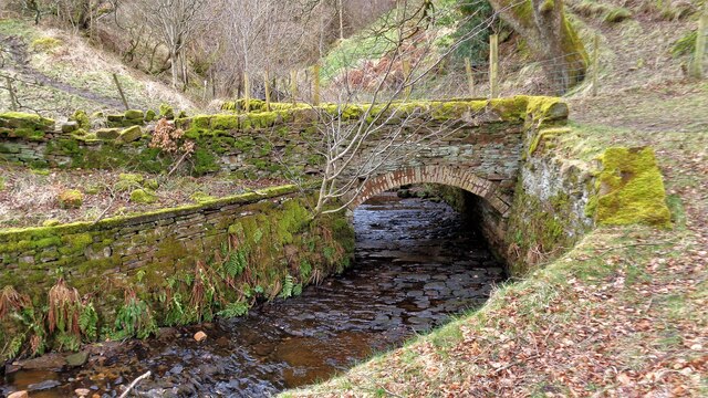
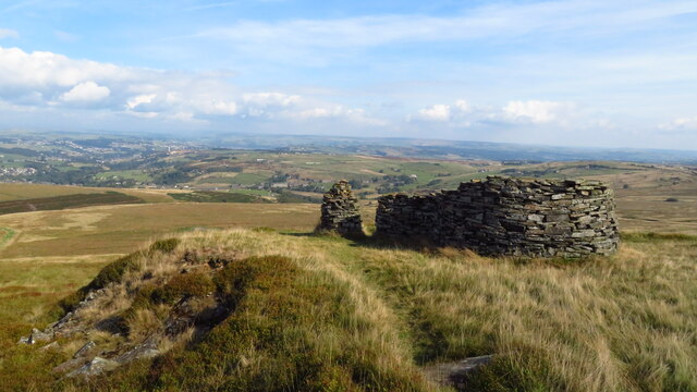
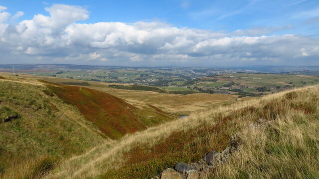
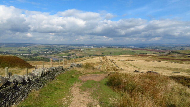
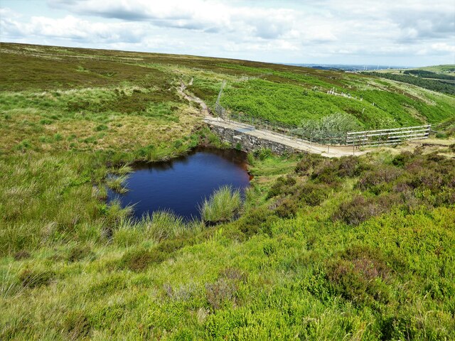
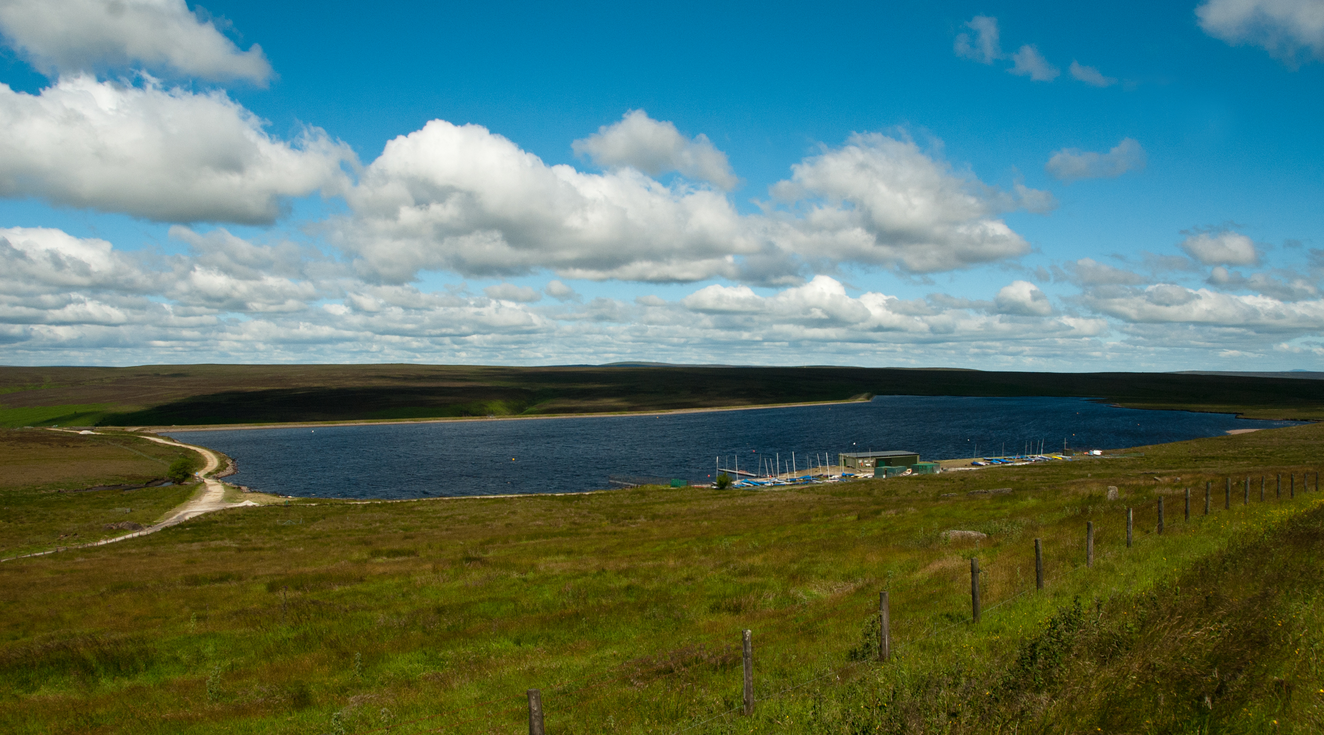
Great Clough is characterized by its steep-sided slopes, lush green meadows, and a meandering stream that runs through its heart. The valley is flanked by towering limestone cliffs, which provide a dramatic backdrop to the scenery. These cliffs also attract climbers and hikers who are drawn to the challenging routes and breathtaking views they offer.
The valley is home to a diverse range of flora and fauna, with vibrant wildflowers carpeting the meadows during the spring and summer months. Great Clough is also a haven for birdwatchers, as it hosts a variety of bird species, including peregrine falcons, curlews, and lapwings.
Visitors to Great Clough can enjoy a range of activities, such as hiking, cycling, and picnicking. There are several well-marked trails that traverse the valley, offering stunning vistas and opportunities to spot wildlife. The area is also popular with photographers, who are captivated by the valley's natural charm and ever-changing light.
In conclusion, Great Clough is a gem within the Yorkshire Dales National Park, offering visitors a chance to immerse themselves in the region's natural splendor. Whether it is for outdoor adventures or simply enjoying the peace and tranquility of the area, this valley is a must-visit destination for nature lovers and outdoor enthusiasts alike.
If you have any feedback on the listing, please let us know in the comments section below.
Great Clough Images
Images are sourced within 2km of 53.791302/-1.9402929 or Grid Reference SE0432. Thanks to Geograph Open Source API. All images are credited.


Great Clough is located at Grid Ref: SE0432 (Lat: 53.791302, Lng: -1.9402929)
Division: West Riding
Unitary Authority: Bradford
Police Authority: West Yorkshire
What 3 Words
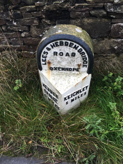
///audit.year.hiring. Near Oxenhope, West Yorkshire
Nearby Locations
Related Wikis
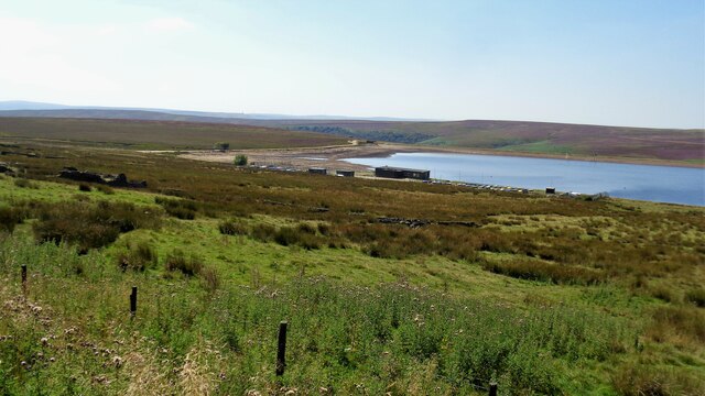
Warley Moor Reservoir
Warley Moor Reservoir, also known as Fly Flatts Reservoir, is a drinking water reservoir in West Yorkshire, England, owned and operated by Yorkshire Water...

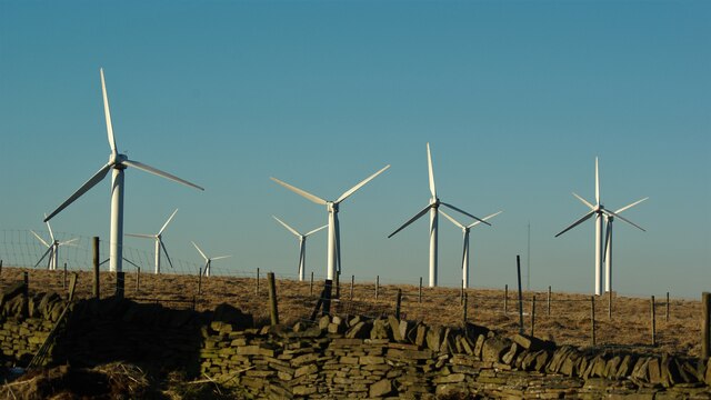
Ovenden Moor Wind Farm
Ovenden Moor Wind Farm is a wind powered electricity generating site in England. Ovenden Moor is located north of Halifax and west of Bradford in West...

Worth Valley
Worth Valley is a ward in the City of Bradford Metropolitan District Council, West Yorkshire. The population of the ward taken at the 2011 Census was 14...

Oxenhope
Oxenhope is a village and civil parish near Keighley in the metropolitan borough of Bradford, West Yorkshire, England. It was historically part of the...
Nearby Amenities
Located within 500m of 53.791302,-1.9402929Have you been to Great Clough?
Leave your review of Great Clough below (or comments, questions and feedback).