Stone Gill Flat

Downs, Moorland in Yorkshire Craven

England

Stone Gill Flat

Hebden Beck
Hebden Beck Credit: Chris Holifield

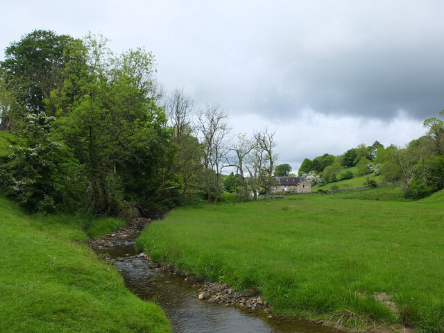
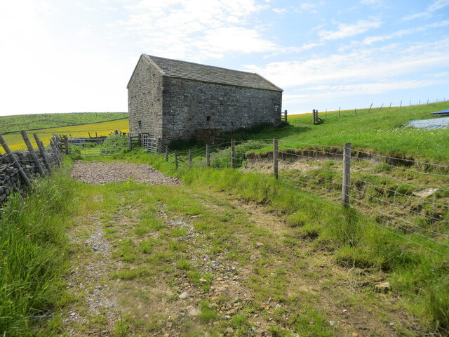
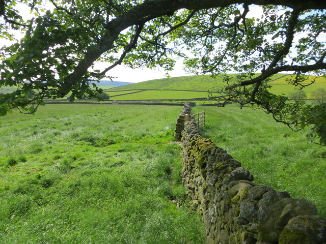
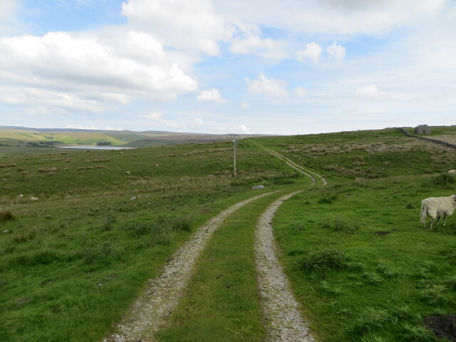
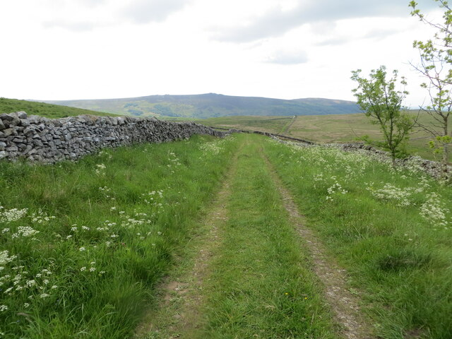
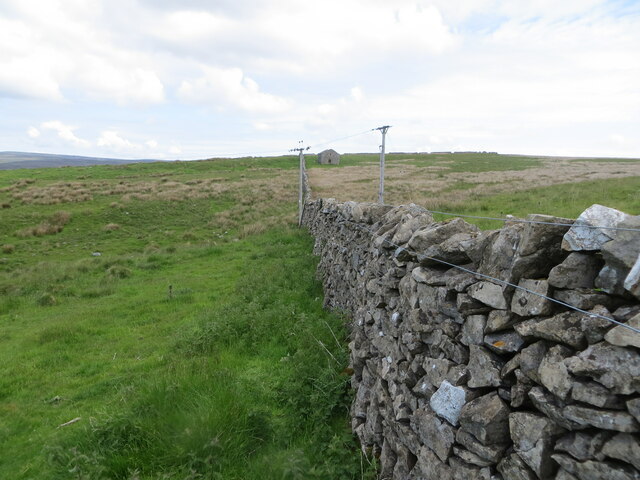
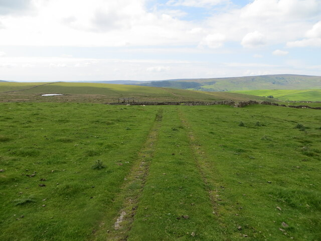
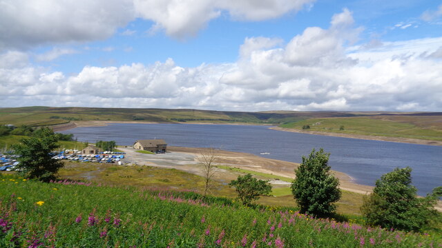
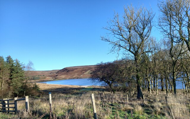
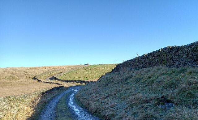
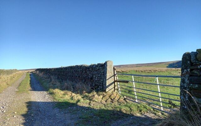
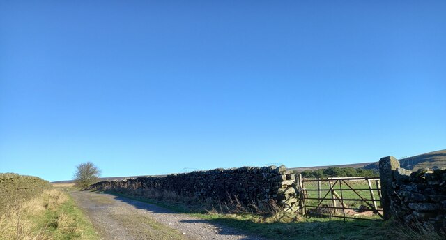
Stone Gill Flat is a picturesque region located in the county of Yorkshire, England. Situated in the heart of the Yorkshire Downs and Moorland, this area is known for its breathtaking natural beauty and rich cultural heritage. Spanning over miles of rolling hills and verdant landscapes, Stone Gill Flat offers a tranquil retreat for nature enthusiasts and outdoor adventurers alike.

The region is characterized by its diverse flora and fauna, with an abundance of heather, gorse, and grasses covering the moorland. This vibrant ecosystem provides a habitat for various bird species, including curlews, lapwings, and skylarks, making it a popular spot for birdwatchers.

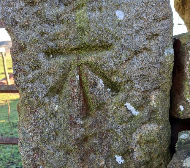
Stone Gill Flat is also home to numerous archaeological sites that bear testament to its long history. Ancient stone circles, burial mounds, and remnants of Iron Age settlements can be found scattered across the area, offering a glimpse into the lives of its past inhabitants.

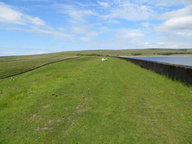
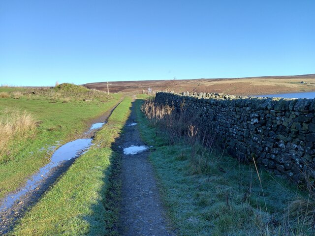
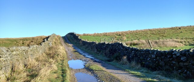
For those seeking outdoor activities, the region provides ample opportunities for hiking, cycling, and horseback riding. The well-maintained trails and paths allow visitors to explore the stunning countryside at their own pace. Additionally, the nearby rivers and reservoirs offer fishing and boating activities for water enthusiasts.

The charm of Stone Gill Flat lies in its unspoiled and serene environment. Away from the hustle and bustle of city life, visitors can immerse themselves in the peacefulness of the countryside, appreciating the natural beauty and tranquility that this Yorkshire gem has to offer.

If you have any feedback on the listing, please let us know in the comments section below.

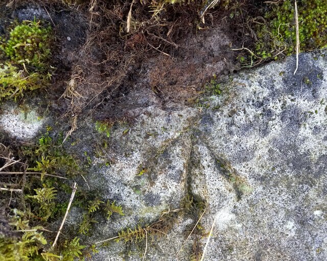
Stone Gill Flat Images

Images are sourced within 2km of 54.066618/-1.9298923 or Grid Reference SE0463. Thanks to Geograph Open Source API. All images are credited.

Hebden Beck
Hebden Beck
Track at West Gate Lathes Looking south-eastward from Hartlington Raikes.
Track at West Gate Lathes
Looking south-eastward from Hartlington Raikes.
Fields divided by drystone walling Looking south-eastward from Hartlington Raikes. A mapped footpath runs along the left side of the wall.
Fields divided by drystone walling
Looking south-eastward from Hartlington Raikes. A mapped footpath runs along the left side of the wall.
The sheep grazed banking of Grimwith Reservoir dam Looking westward. A permissive footpath also crosses the top of the dam.
The sheep grazed banking of Grimwith Reservoir dam
Looking westward. A permissive footpath also crosses the top of the dam.
Track (Grimwith Road) and footpath giving access to Grimwith Looking north-eastward. Grimwith Reservoir is visible in the far distance.
Track (Grimwith Road) and footpath giving access to Grimwith
Looking north-eastward. Grimwith Reservoir is visible in the far distance.
Track and footpath enclosed by drystone walling Looking south-eastwards in the direction of New Road.
Track and footpath enclosed by drystone walling
Looking south-eastwards in the direction of New Road.
Moorland divided by drystone walling Looking north-eastward in the direction of Cracked Castle.
Moorland divided by drystone walling
Looking north-eastward in the direction of Cracked Castle.
Moorland field track Looking south-westward.
Moorland field track
Looking south-westward.
Grimwith Reservoir Sailing Club
Grimwith reservoir, western point According to the OS benchmark database there was a farm building in this location, Far Rams Close, with a cutmark. Nothing to see and any buildings have been demolished, under the water or now ruined.
Grimwith reservoir, western point
According to the OS benchmark database there was a farm building in this location, Far Rams Close, with a cutmark. Nothing to see and any buildings have been demolished, under the water or now ruined.
Grimwith reservoir, culvert According to the OS benchmark database there is a cutmark on the culvert at the dip in the track. There is a culvert tight to the track side wall with the beck running away beyond the wall. The culvert is so tight to the wall no search was possible.
Grimwith reservoir, culvert
According to the OS benchmark database there is a cutmark on the culvert at the dip in the track. There is a culvert tight to the track side wall with the beck running away beyond the wall. The culvert is so tight to the wall no search was possible.
Grimwith, Hartlington Moor Lane According to the OS benchmark database there is a pivot benchmark cut into the trackside wall on the east side of the lane. Nothing was found - some of the wall has been rebuilt.
Grimwith, Hartlington Moor Lane
According to the OS benchmark database there is a pivot benchmark cut into the trackside wall on the east side of the lane. Nothing was found - some of the wall has been rebuilt.
Grimwith, Hartlington Moor Lane The pivot benchmark is cut into a rock on the east side of the green lane.
Grimwith, Hartlington Moor Lane
The pivot benchmark is cut into a rock on the east side of the green lane.
Grimwith, Hartlington Moor Lane There is a pivot benchmark cut into a rock on the east side of the green lane.
Grimwith, Hartlington Moor Lane
There is a pivot benchmark cut into a rock on the east side of the green lane.
Grimwith, Hartlington Moor Track The benchmark is cut into a gatepost on the east side of the track.
Grimwith, Hartlington Moor Track
The benchmark is cut into a gatepost on the east side of the track.
Grimwith, Hartlington Moor Track There is a benchmark cut into a gatepost on the east side of the track.
Grimwith, Hartlington Moor Track
There is a benchmark cut into a gatepost on the east side of the track.
Show me another place!

Stone Gill Flat is located at Grid Ref: SE0463 (Lat: 54.066618, Lng: -1.9298923)

Division: West Riding

Administrative County: North Yorkshire

District: Craven

Police Authority: North Yorkshire

What 3 Words

///empires.fermented.masking. Near Grassington, North Yorkshire

Related Wikis

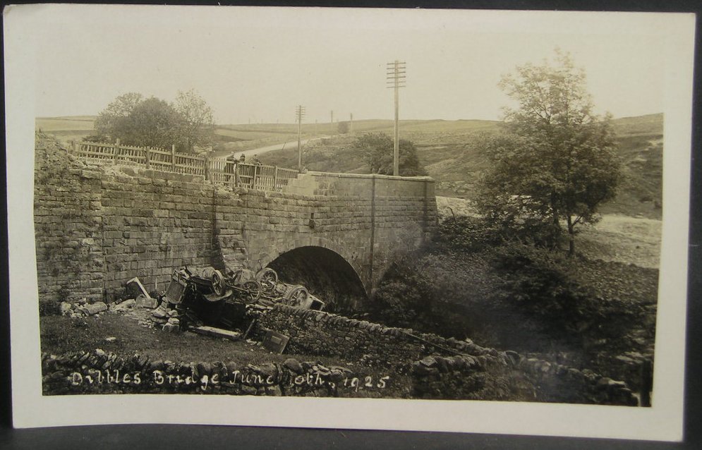
1925 Dibbles Bridge coach crash

On 10 June 1925, a coach crashed at the bottom of a steep hill at Dibbles Bridge, near Hebden in North Yorkshire, England. Seven people were killed and...

1975 Dibbles Bridge coach crash

On 27 May 1975, a coach carrying elderly passengers crashed at the bottom of a steep hill at Dibble's Bridge, near Hebden in North Yorkshire, England....
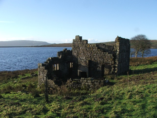
Grimwith Reservoir

Grimwith Reservoir is located in the Yorkshire Dales in North Yorkshire, England. It was originally built by the Bradford Corporation as one of eleven...

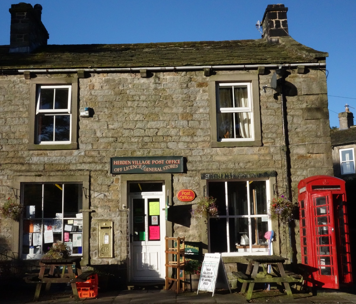
Hebden, North Yorkshire

Hebden ( HEB-dərn) is a village and civil parish in the Craven District of North Yorkshire, England, and one of four villages in the ecclesiastical parish...

Nearby Amenities

Located within 500m of 54.066618,-1.9298923
Cold Sike Well
Natural: spring
Source: OS 1853
Lat/Long: 54.0688654/-1.9253633
Historic: mine_shaft
Source: Bing
Lat/Long: 54.0684186/-1.9335239
Historic: mine_shaft
Source: Bing
Lat/Long: 54.0678301/-1.9332718
Historic: mine_shaft
Mineral: coal
Source: Bing;OS sheet 134,1853
Source Mineral: OS sheet 134,1853
Lat/Long: 54.0677939/-1.9303321
Historic: mine_shaft
Source: Bing
Lat/Long: 54.0681322/-1.9335722
Historic: mine_shaft
Source: Bing
Lat/Long: 54.0682455/-1.9328319
Historic: mine_shaft
Source: Bing
Lat/Long: 54.0684942/-1.9326924
Historic: mine_shaft
Source: Bing
Lat/Long: 54.0684125/-1.9313942
Historic: mine_shaft
Note: tentative
Source: Bing
Lat/Long: 54.064904/-1.9247664
Historic: mine_shaft
Mineral: coal
Source: Bing;OS sheet 134,1853
Source Mineral: OS sheet 134,1853
Lat/Long: 54.0676633/-1.9307013
Historic: mine_shaft
Mineral: coal
Source: Bing;OS sheet 134,1853
Source Mineral: OS sheet 134,1853
Lat/Long: 54.0674083/-1.9298323
Historic: mine_shaft
Mineral: coal
Source: Bing;OS sheet 134,1853
Source Mineral: OS sheet 134,1853
Lat/Long: 54.0675027/-1.9302722
Historic: mine_shaft
Mineral: coal
Source: Bing;OS sheet 134,1853
Source Mineral: OS sheet 134,1853
Lat/Long: 54.0675277/-1.9303365
Historic: mine_shaft
Mineral: coal
Source: Bing;OS sheet 134,1853
Source Mineral: OS sheet 134,1853
Lat/Long: 54.067487/-1.9301541
Green Bog
Place: locality
Source: OS 1853
Lat/Long: 54.0677792/-1.9230105
Barrier: stile
Stile: squeezer
Lat/Long: 54.0623579/-1.9284998
Power: pole
Lat/Long: 54.0622824/-1.9307474
Power: pole
Lat/Long: 54.0623744/-1.9296091
Power: pole
Lat/Long: 54.0624872/-1.9280939
Power: pole
Lat/Long: 54.0628718/-1.9272616
Power: pole
Lat/Long: 54.0632711/-1.9263662
Power: pole
Lat/Long: 54.063718/-1.92541
Power: pole
Lat/Long: 54.0641776/-1.9243859
Power: pole
Lat/Long: 54.0645241/-1.923614
The data included in this document is from www.openstreetmap.org. The data is made available under ODbL.

Have you been to Stone Gill Flat?

Leave your review of Stone Gill Flat below (or comments, questions and feedback).