East Park
Downs, Moorland in Yorkshire Richmondshire
England
East Park
East Park is a picturesque region located in Yorkshire, England, known for its stunning combination of downs and moorland landscapes. Covering a vast expanse, the area is a haven for nature enthusiasts and outdoor adventurers alike.
The downs of East Park are characterized by their rolling hills, covered in lush green grass and scattered with vibrant wildflowers during the warmer months. These open spaces provide ample opportunities for hiking, picnicking, and taking in the panoramic views of the surrounding countryside. The gentle slopes make it an ideal location for families and individuals seeking a leisurely stroll or a more challenging hike.
In contrast, the moorland of East Park offers a more rugged and untamed experience. With its heather-clad hillsides and rocky outcrops, this part of the region provides a habitat for a diverse range of wildlife, including birds, small mammals, and even rare plant species. Visitors can explore the moorland on foot or by bike, following the network of trails that wind through the area.
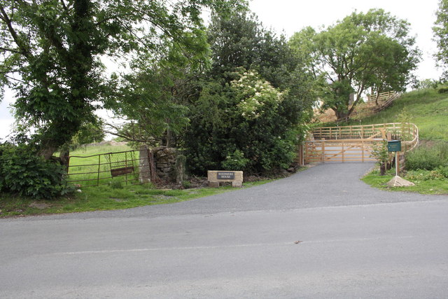
East Park is also home to several charming villages, each with its own unique character and history. These communities offer visitors the opportunity to experience local culture and hospitality, with traditional pubs, quaint shops, and historic landmarks to discover.
Whether it's the tranquility of the downs or the untamed beauty of the moorland, East Park in Yorkshire promises visitors a memorable and enriching experience in the heart of nature.
If you have any feedback on the listing, please let us know in the comments section below.
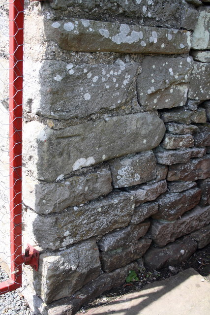
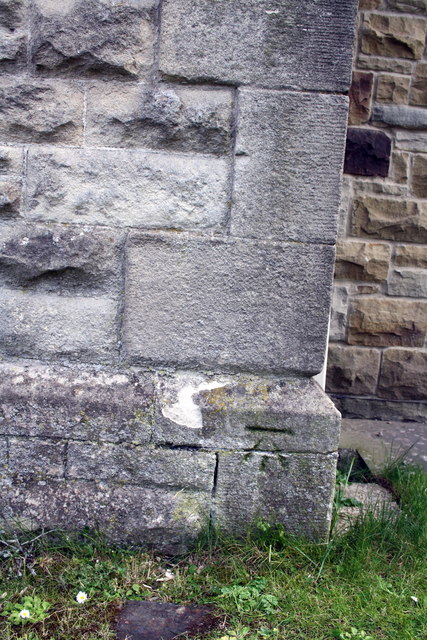
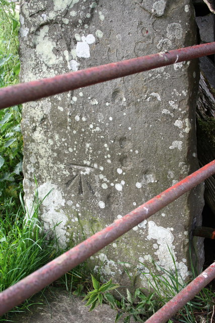
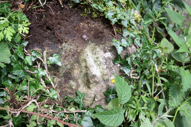
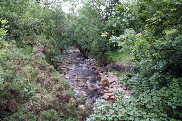
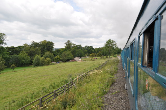
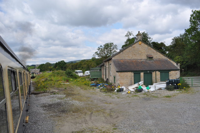
East Park Images
Images are sourced within 2km of 54.331581/-1.9422536 or Grid Reference SE0392. Thanks to Geograph Open Source API. All images are credited.


East Park is located at Grid Ref: SE0392 (Lat: 54.331581, Lng: -1.9422536)
Division: North Riding
Administrative County: North Yorkshire
District: Richmondshire
Police Authority: North Yorkshire
What 3 Words
///caps.broccoli.epidemics. Near Leyburn, North Yorkshire
Nearby Locations
Related Wikis

Castle Bolton
Castle Bolton is a village in North Yorkshire, England. It is in Wensleydale, one of the Yorkshire Dales. The village takes its name from Bolton Castle...

Bolton Castle
Bolton Castle is a 14th-century castle located in Wensleydale, Yorkshire, England (grid reference SE03379183). The nearby village of Castle Bolton takes...

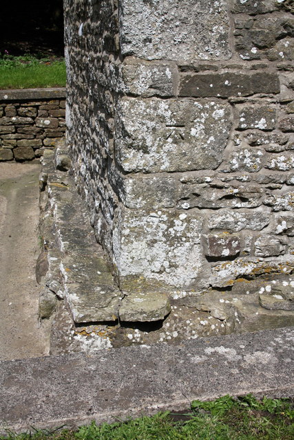
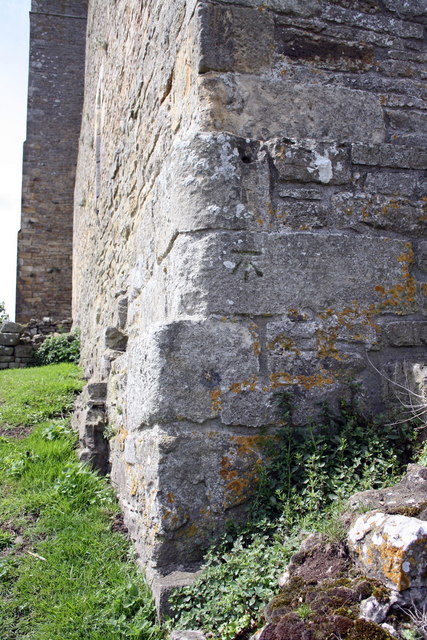
St Oswald's Church, Castle Bolton
St Oswald's Church, Castle Bolton is a Grade II* listed parish church in the Church of England: 106 located in Castle Bolton, North Yorkshire. == History... ==
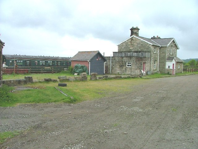
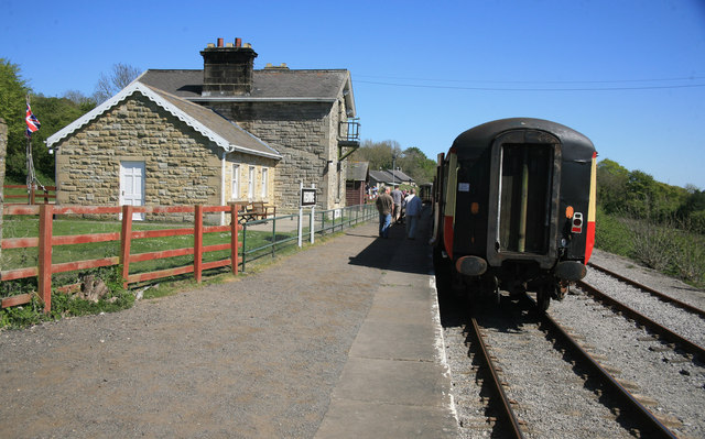
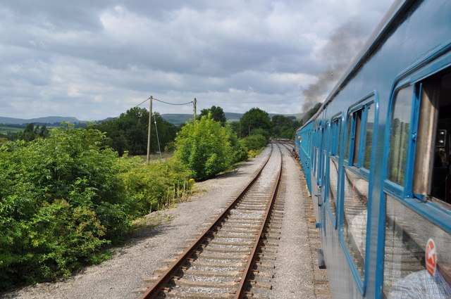
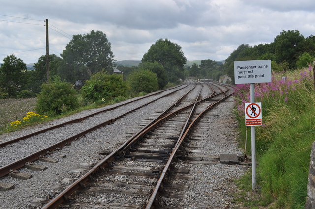
Redmire railway station
Redmire railway station is the current western terminus of the Wensleydale Railway and serves the village of Redmire in North Yorkshire, England. It is...

Redmire
Redmire is a village and civil parish in North Yorkshire, England. It is about 4 miles (6.4 km) west of Leyburn in Wensleydale in the Yorkshire Dales....

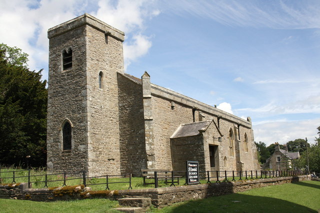
St Mary's Church, Redmire
St Mary's Church, Redmire is a Grade II* listed parish church in the Church of England: 289 in Redmire, North Yorkshire. == History == The church dates...

Preston-under-Scar
Preston-under-Scar is a village and civil parish in North Yorkshire, England. It is situated approximately 2 miles (4 km) west of Leyburn. The village...

Grinton Smelt Mill
Grinton Smelt Mill (also known as How Mill) is a ruined lead mining and processing site on Cogden Moor, south of Grinton in Swaledale, North Yorkshire...
Have you been to East Park?
Leave your review of East Park below (or comments, questions and feedback).