Bull Park Plantation
Wood, Forest in Yorkshire Richmondshire
England
Bull Park Plantation
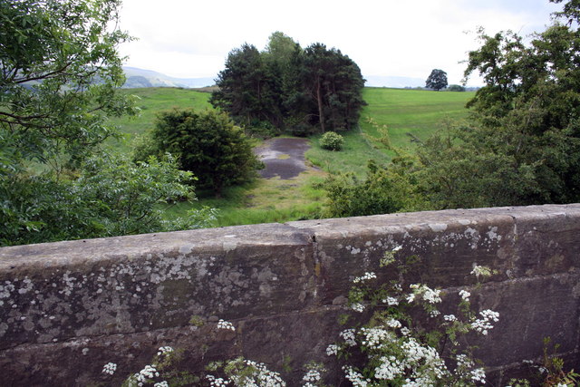
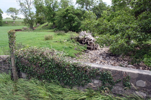
Bull Park Plantation is a picturesque wood located in Yorkshire, England. Spread across an expansive area, it is known for its dense forest and natural beauty. The plantation is situated in a serene and tranquil environment, making it an ideal destination for nature lovers and outdoor enthusiasts.
The woodland is characterized by a diverse range of tree species, including oak, beech, and birch. These majestic trees create a dense canopy, providing shade and shelter for a variety of wildlife. Visitors can expect to spot various bird species, such as woodpeckers, owls, and thrushes, as well as small mammals like squirrels and foxes.
Bull Park Plantation offers several well-marked walking trails, enabling visitors to explore the woodland at their own pace. The paths wind through the forest, offering breathtaking views of ancient trees, vibrant wildflowers, and occasional glimpses of wildlife. Along the way, there are designated picnic spots and benches, allowing visitors to relax and immerse themselves in the peaceful surroundings.
This woodland also plays a vital role in the conservation of local biodiversity. The well-preserved ecosystem supports a wide range of flora and fauna, including rare and endangered species. Conservation efforts are ongoing, with regular monitoring and management of the woodland to preserve its natural balance and promote sustainable growth.
Bull Park Plantation is a true gem of Yorkshire, offering visitors a chance to connect with nature and experience the beauty of a thriving woodland ecosystem. Whether it's a leisurely stroll, a picnic with loved ones, or a birdwatching adventure, this plantation has something for everyone seeking solace in the serene embrace of nature.
If you have any feedback on the listing, please let us know in the comments section below.
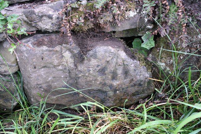
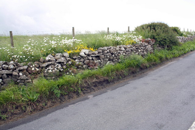
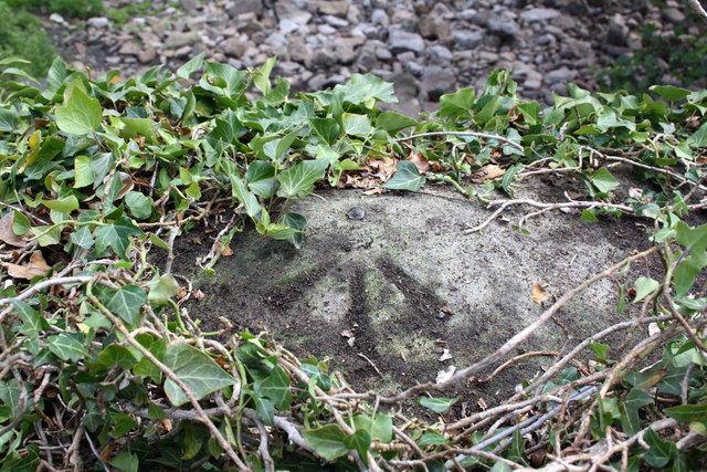
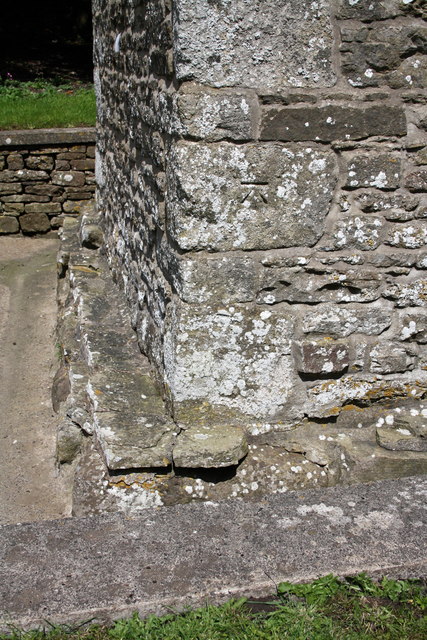
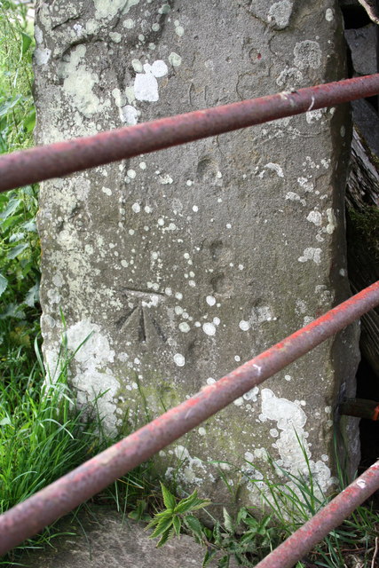
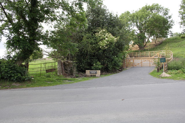
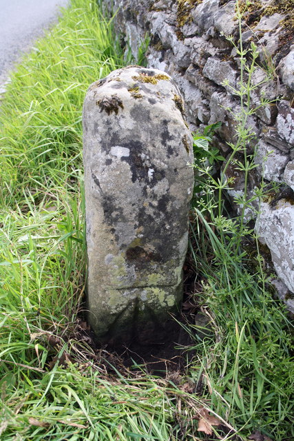
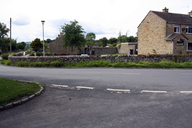
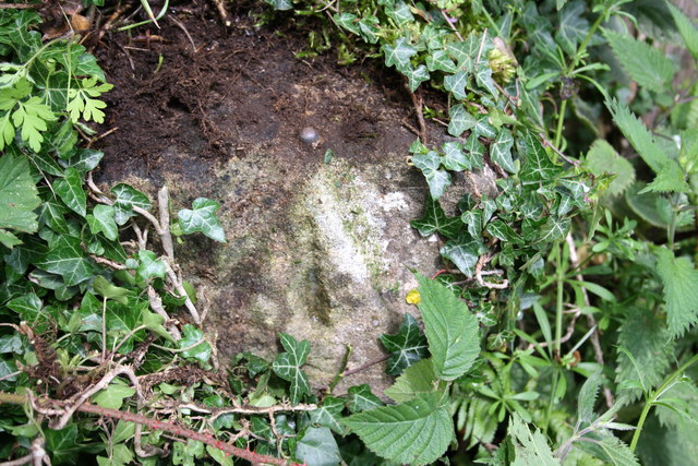
Bull Park Plantation Images
Images are sourced within 2km of 54.326264/-1.9494107 or Grid Reference SE0392. Thanks to Geograph Open Source API. All images are credited.

Bull Park Plantation is located at Grid Ref: SE0392 (Lat: 54.326264, Lng: -1.9494107)
Division: North Riding
Administrative County: North Yorkshire
District: Richmondshire
Police Authority: North Yorkshire
What 3 Words
///september.area.venturing. Near Leyburn, North Yorkshire
Nearby Locations
Related Wikis

Castle Bolton
Castle Bolton is a village in North Yorkshire, England. It is in Wensleydale, one of the Yorkshire Dales. The village takes its name from Bolton Castle...

Bolton Castle
Bolton Castle is a 14th-century castle located in Wensleydale, Yorkshire, England (grid reference SE03379183). The nearby village of Castle Bolton takes...

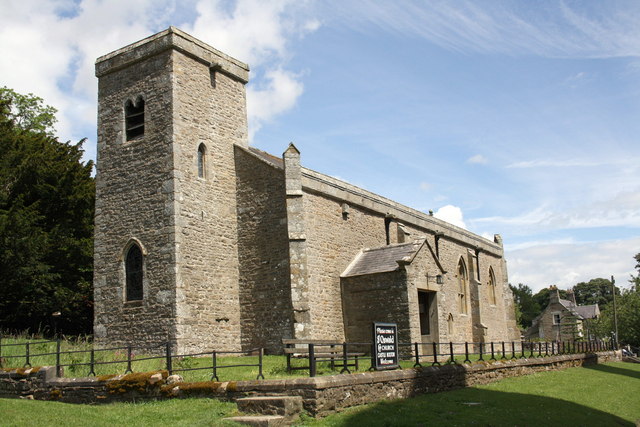
St Oswald's Church, Castle Bolton
St Oswald's Church, Castle Bolton is a Grade II* listed parish church in the Church of England: 106 located in Castle Bolton, North Yorkshire. == History... ==

Redmire
Redmire is a village and civil parish in North Yorkshire, England. It is about 4 miles (6.4 km) west of Leyburn in Wensleydale in the Yorkshire Dales....
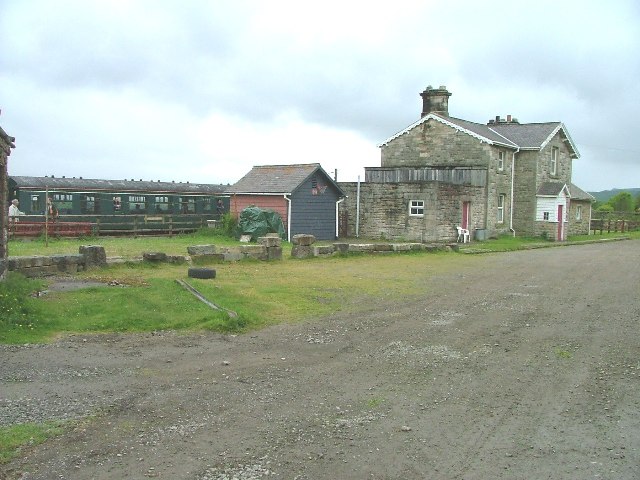
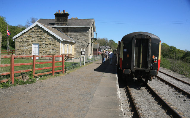
Redmire railway station
Redmire railway station is the current western terminus of the Wensleydale Railway and serves the village of Redmire in North Yorkshire, England. It is...

St Mary's Church, Redmire
St Mary's Church, Redmire is a Grade II* listed parish church in the Church of England: 289 in Redmire, North Yorkshire. == History == The church dates...

Bishopdale Beck
Bishopdale Beck is a major tributary of the River Ure in North Yorkshire, England. The beck flows down Bishopdale, a side valley of Wensleydale in the...

Carperby-cum-Thoresby
Carperby-cum-Thoresby is a civil parish in the Richmondshire district of North Yorkshire, England. The parish contains the village of Carperby and the...
Nearby Amenities
Located within 500m of 54.326264,-1.9494107Have you been to Bull Park Plantation?
Leave your review of Bull Park Plantation below (or comments, questions and feedback).