Blackhill Park
Downs, Moorland in Yorkshire Richmondshire
England
Blackhill Park
Blackhill Park is a picturesque and expansive natural reserve located in Yorkshire, England. Situated amidst the breathtaking landscapes of the Yorkshire Downs and Moorland, it offers visitors a tranquil retreat from the hustle and bustle of city life.
Covering an area of approximately 500 acres, Blackhill Park boasts a diverse range of flora and fauna, making it a haven for nature enthusiasts and wildlife lovers alike. The park is characterized by rolling hills, heather-covered moorlands, and ancient woodlands, providing a stunning backdrop for outdoor activities and leisurely walks.
The park is home to an abundance of wildlife, including deer, foxes, rabbits, and a wide variety of bird species. Birdwatchers flock to Blackhill Park to catch a glimpse of elusive species such as curlews and lapwings. The park's pristine environment and undisturbed habitats make it an ideal breeding ground for several rare and endangered species.
Visitors can explore the park's extensive network of walking trails, which provide panoramic views of the surrounding countryside. The trails cater to all levels of fitness and offer the opportunity to discover hidden gems such as ancient standing stones and Bronze Age burial mounds.
Blackhill Park also offers recreational facilities, including picnic areas, a children's playground, and a visitor center providing information about the park's history and wildlife. The center also organizes guided walks and educational programs, making it an excellent destination for families and school groups.
Overall, Blackhill Park in Yorkshire is a captivating blend of natural beauty, wildlife diversity, and historical significance, making it a must-visit destination for those seeking a peaceful and enriching experience in the heart of nature.
If you have any feedback on the listing, please let us know in the comments section below.
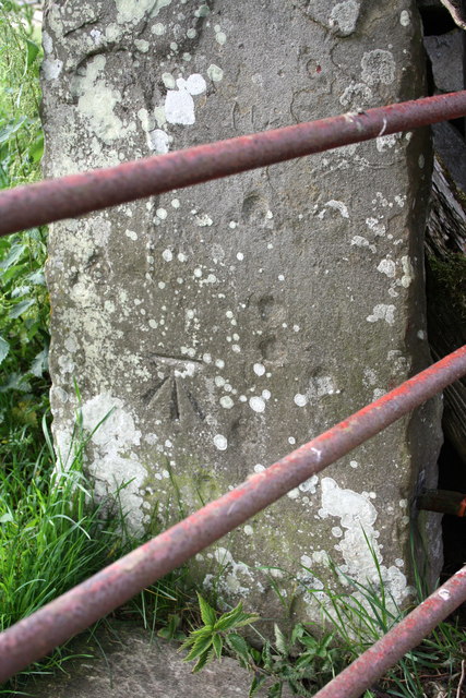
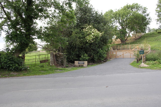
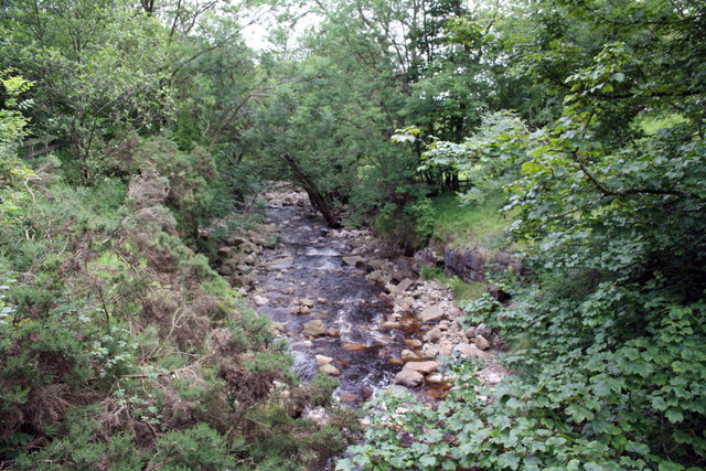
Blackhill Park Images
Images are sourced within 2km of 54.33002/-1.9480991 or Grid Reference SE0392. Thanks to Geograph Open Source API. All images are credited.


Blackhill Park is located at Grid Ref: SE0392 (Lat: 54.33002, Lng: -1.9480991)
Division: North Riding
Administrative County: North Yorkshire
District: Richmondshire
Police Authority: North Yorkshire
What 3 Words
///positions.broads.bleat. Near Leyburn, North Yorkshire
Nearby Locations
Related Wikis

Castle Bolton
Castle Bolton is a village in North Yorkshire, England. It is in Wensleydale, one of the Yorkshire Dales. The village takes its name from Bolton Castle...

Bolton Castle
Bolton Castle is a 14th-century castle located in Wensleydale, Yorkshire, England (grid reference SE03379183). The nearby village of Castle Bolton takes...

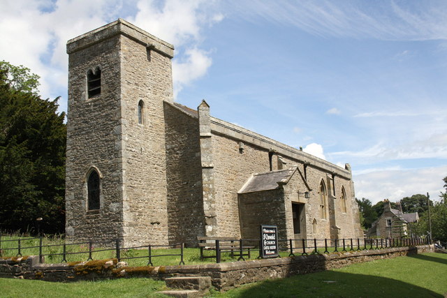
St Oswald's Church, Castle Bolton
St Oswald's Church, Castle Bolton is a Grade II* listed parish church in the Church of England: 106 located in Castle Bolton, North Yorkshire. == History... ==
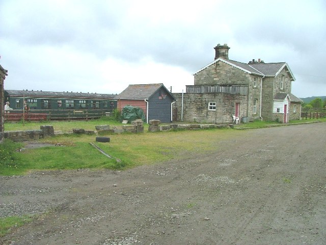
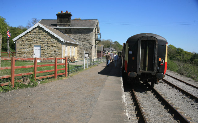
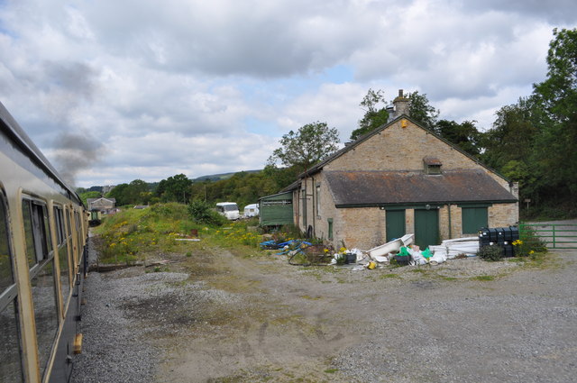
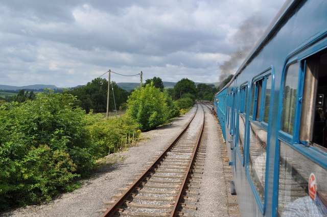
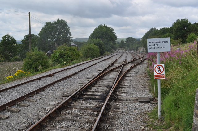
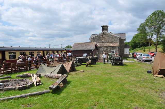
Redmire railway station
Redmire railway station is the current western terminus of the Wensleydale Railway and serves the village of Redmire in North Yorkshire, England. It is...

Redmire
Redmire is a village and civil parish in North Yorkshire, England. It is about 4 miles (6.4 km) west of Leyburn in Wensleydale in the Yorkshire Dales....

St Mary's Church, Redmire
St Mary's Church, Redmire is a Grade II* listed parish church in the Church of England: 289 in Redmire, North Yorkshire. == History == The church dates...

Bishopdale Beck
Bishopdale Beck is a major tributary of the River Ure in North Yorkshire, England. The beck flows down Bishopdale, a side valley of Wensleydale in the...

Preston-under-Scar
Preston-under-Scar is a village and civil parish in North Yorkshire, England. It is situated approximately 2 miles (4 km) west of Leyburn. The village...
Nearby Amenities
Located within 500m of 54.33002,-1.9480991Have you been to Blackhill Park?
Leave your review of Blackhill Park below (or comments, questions and feedback).