Halton Moor
Downs, Moorland in Yorkshire Craven
England
Halton Moor
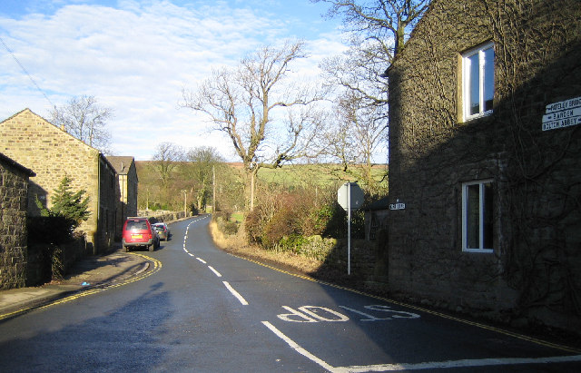
Halton Moor is a picturesque area located in the county of Yorkshire, England. Situated amidst the stunning Yorkshire Downs and Moorland, it offers visitors a unique blend of natural beauty and rich history.
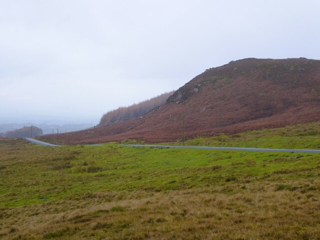
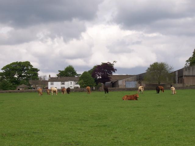
The moorland landscape of Halton Moor is characterized by vast open spaces covered in heather, bracken, and grasses, creating a visually striking and serene environment. The area is home to a diverse range of flora and fauna, including rare bird species and wild animals such as hares and deer. This makes it a popular destination for nature enthusiasts and wildlife photographers.
The Yorkshire Downs, which surround Halton Moor, are renowned for their rolling hills, dramatic cliffs, and breathtaking views. Visitors can explore the various walking trails and hiking routes that crisscross the Downs, allowing them to fully immerse themselves in the beauty of the countryside.
Aside from its natural splendor, Halton Moor also has a fascinating history. The area is dotted with ancient archaeological sites, including burial mounds and stone circles, which provide insight into the lives of early settlers in the region. Additionally, the nearby market town of Beverley boasts a rich cultural heritage, with its medieval architecture and renowned Minster attracting visitors from far and wide.
Overall, Halton Moor in Yorkshire offers a perfect blend of natural beauty, outdoor activities, and historical significance. Whether you're seeking tranquility in the moorland, adventure in the Yorkshire Downs, or a glimpse into the past, this area has something to offer every visitor.
If you have any feedback on the listing, please let us know in the comments section below.
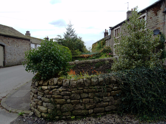
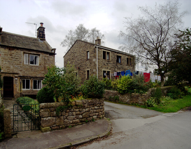
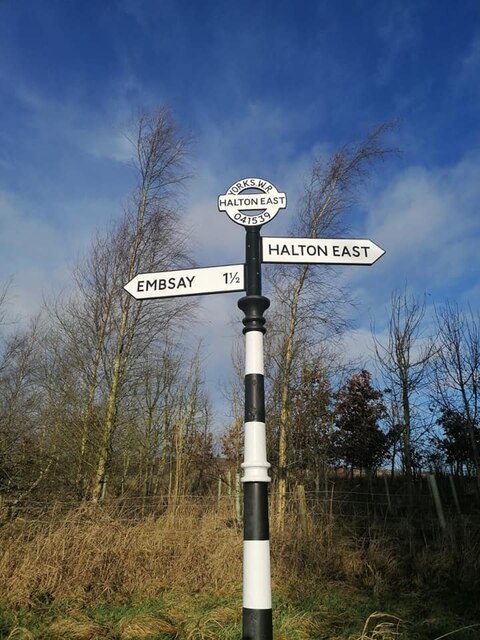
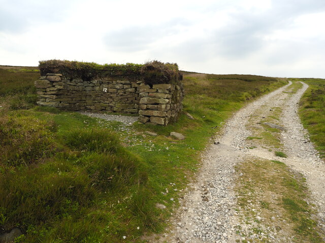
Halton Moor Images
Images are sourced within 2km of 53.994161/-1.9484545 or Grid Reference SE0355. Thanks to Geograph Open Source API. All images are credited.


Halton Moor is located at Grid Ref: SE0355 (Lat: 53.994161, Lng: -1.9484545)
Division: West Riding
Administrative County: North Yorkshire
District: Craven
Police Authority: North Yorkshire
What 3 Words
///protest.syndicate.vesting. Near Embsay, North Yorkshire
Nearby Locations
Related Wikis
Halton East
Halton East is a village and civil parish in North Yorkshire, England, 3.5 miles (5.6 km) east of Skipton. The population of the parish was estimated...

Embsay with Eastby
Embsay with Eastby is a civil parish and electoral ward in the Craven district of North Yorkshire, England. Its main settlements are the village of Embsay...
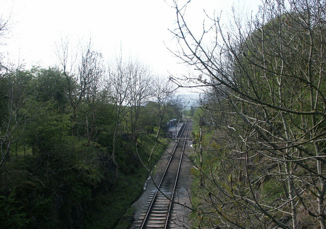
Holywell Halt railway station
Holywell Halt railway station is on the Embsay and Bolton Abbey Steam Railway in North Yorkshire, England. == History == The halt was the first extension...

Barden, Craven
Barden is a civil parish in the Craven district of North Yorkshire, England. It consists of the hamlet of Drebley and a few scattered houses in Wharfedale...

Barden Tower
Barden Tower is a ruined building in the Parish of Barden, in Wharfedale, North Yorkshire, England. The tower was used as a hunting lodge in the 15th and...

Embsay Priory
Embsay Priory was a medieval monastic house in North Yorkshire, England. The priory was founded in 1120 in Embsay at Wharfedale. It was dedicated to...

Draughton, North Yorkshire
Draughton (pronounced Draftun) is a village and civil parish, population 240, in the Craven district of North Yorkshire, England. It is situated 3 miles...
Embsay
Embsay is a village in the Craven district of North Yorkshire, England. It is paired with the neighbouring hamlet of Eastby to form the civil parish of...
Nearby Amenities
Located within 500m of 53.994161,-1.9484545Have you been to Halton Moor?
Leave your review of Halton Moor below (or comments, questions and feedback).