Ipstones Park
Downs, Moorland in Staffordshire Staffordshire Moorlands
England
Ipstones Park
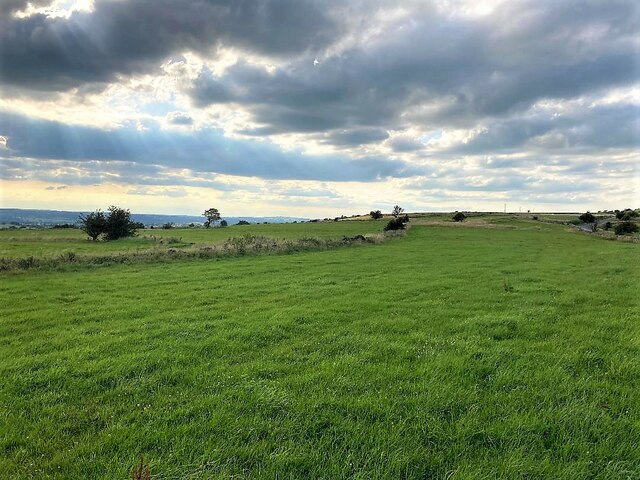
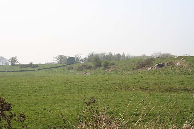
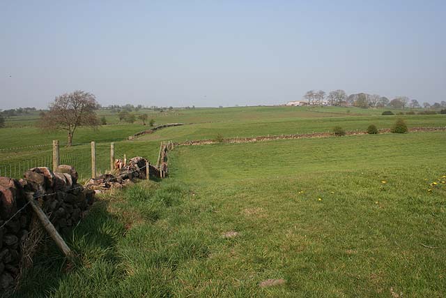
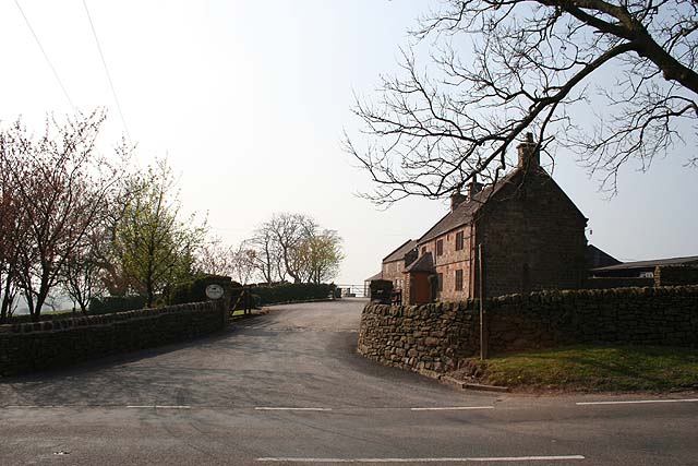
Ipstones Park is a picturesque rural park located in the county of Staffordshire, England. Situated in the village of Ipstones, it spans over an area of approximately 100 hectares and offers a diverse landscape of downs and moorland.
The park boasts stunning natural beauty, with rolling hills and expansive open spaces that make it a popular destination for both locals and tourists alike. Visitors can enjoy breathtaking panoramic views of the surrounding countryside, characterized by its lush greenery and vibrant wildflowers.
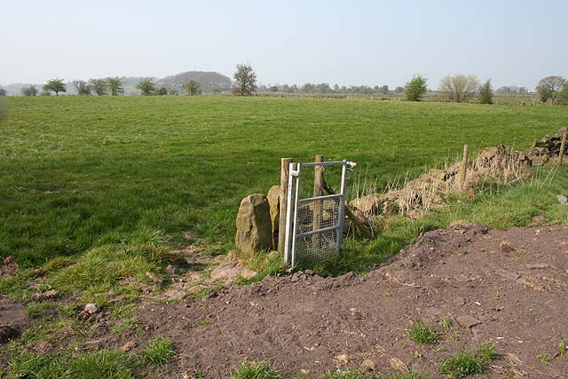
The downs in Ipstones Park are wide and open expanses of land, providing ample space for recreational activities such as picnicking, kite flying, and walking. The park's well-maintained footpaths make it an ideal location for hikers and nature enthusiasts to explore the scenic countryside and observe the diverse wildlife that inhabits the area.
In contrast, the moorland section of Ipstones Park offers a different atmosphere, with its rugged terrain and heather-covered hills. This pristine environment provides a tranquil escape from the hustle and bustle of city life, attracting those seeking solitude and a connection with nature.
Ipstones Park also features a variety of plant and animal species, including rare birds such as the curlew and merlin, as well as various butterflies and insects. This rich biodiversity adds to the park's ecological value and makes it an important conservation area.
Overall, Ipstones Park is a stunning natural haven that offers visitors a chance to immerse themselves in the beauty of Staffordshire's countryside. Whether it's taking a leisurely stroll, admiring the breathtaking views, or simply enjoying a peaceful picnic, this park has something to offer for everyone.
If you have any feedback on the listing, please let us know in the comments section below.
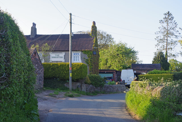
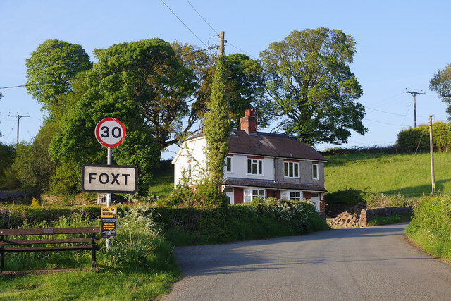
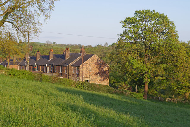
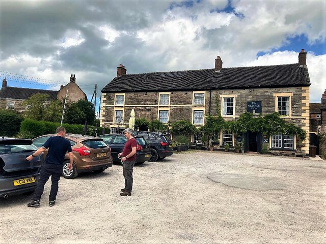
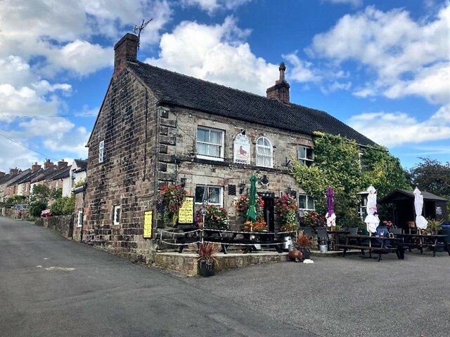
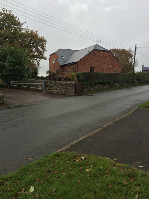
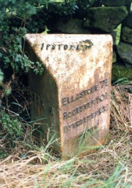
Ipstones Park Images
Images are sourced within 2km of 53.046703/-1.9439924 or Grid Reference SK0349. Thanks to Geograph Open Source API. All images are credited.


Ipstones Park is located at Grid Ref: SK0349 (Lat: 53.046703, Lng: -1.9439924)
Administrative County: Staffordshire
District: Staffordshire Moorlands
Police Authority: Staffordshire
What 3 Words
///boom.king.nags. Near Cheddleton, Staffordshire
Nearby Locations
Related Wikis

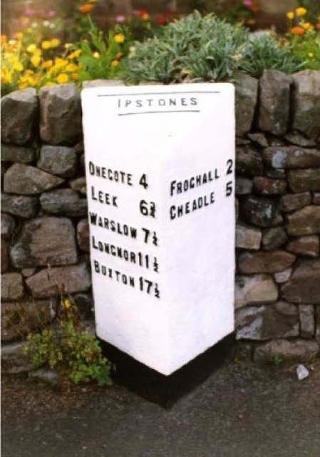
Ipstones
Ipstones is a village and civil parish in the north of the English county of Staffordshire. Ipstones is part of the Staffordshire Moorlands district; within...

Winkhill railway station
Winkhill railway station was a railway station that served the hamlet of Winkhill, Staffordshire. It was opened by the North Staffordshire Railway (NSR...

Harston Wood
Harston Wood is a nature reserve of the Staffordshire Wildlife Trust. It is an ancient woodland, adjacent to the village of Froghall, near Cheadle, Staffordshire...

Peak Wildlife Park
Peak Wildlife Park is a zoo in central England. The nearest towns are Leek, Ashbourne and Stoke-on-Trent. The zoo was originally known as Blackbrook Zoological...

Above Church
Above Church is a hamlet about 0.6 kilometers (0.4 mi) northwest of Ipstones in the English county of Staffordshire. It is located at grid reference SK016504...

Ipstones railway station
Ipstones railway station was a railway station that served the village of Ipstones, Staffordshire. It was opened by the North Staffordshire Railway (NSR...

Uttoxeter Canal
The Uttoxeter Canal was a thirteen-mile extension of the Caldon Canal running from Froghall as far as Uttoxeter in Staffordshire, England. It was authorised...
Whiston, Staffordshire Moorlands
Whiston is a village in the Staffordshire Moorlands district of Staffordshire, England. Population details as taken at the 2011 census can be found under...
Nearby Amenities
Located within 500m of 53.046703,-1.9439924Have you been to Ipstones Park?
Leave your review of Ipstones Park below (or comments, questions and feedback).