Angram Low Pasture
Downs, Moorland in Yorkshire Harrogate
England
Angram Low Pasture
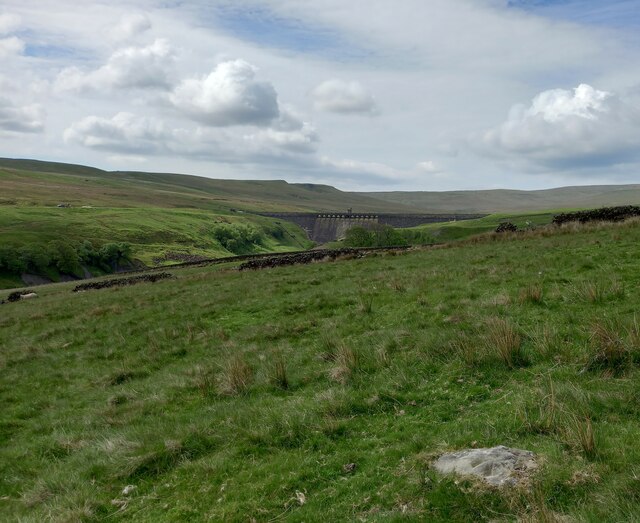
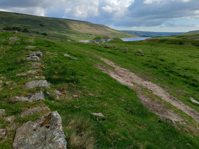
Angram Low Pasture is a picturesque area located in the county of Yorkshire, England. Situated amidst the stunning landscape of the Yorkshire Downs and Moorland, it offers visitors a serene and idyllic retreat.
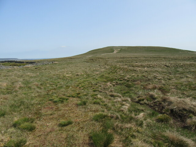
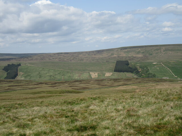
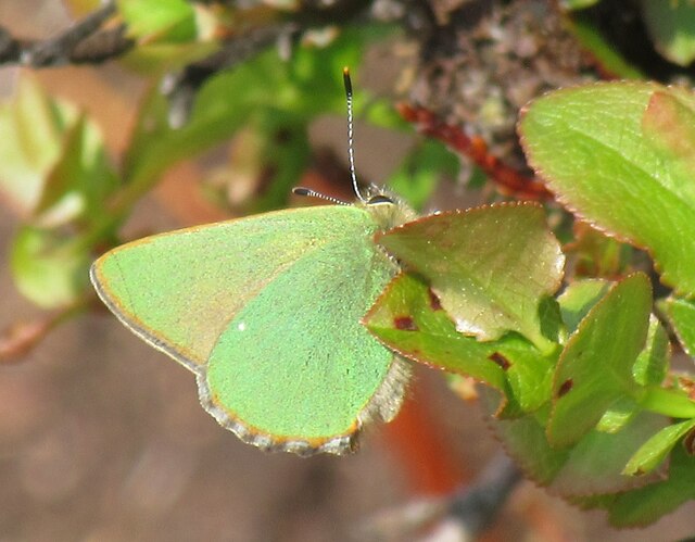
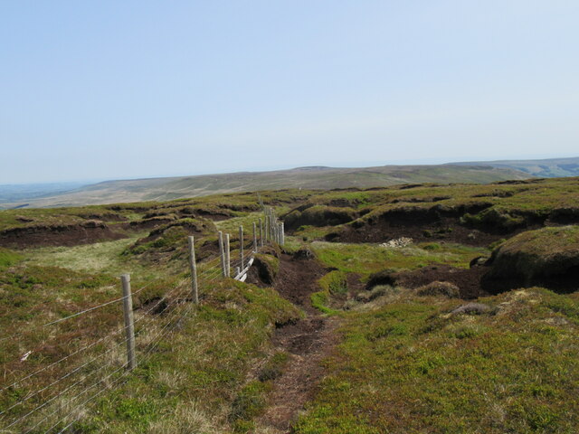
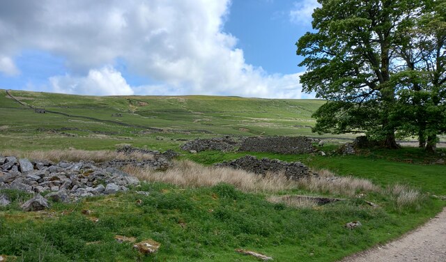
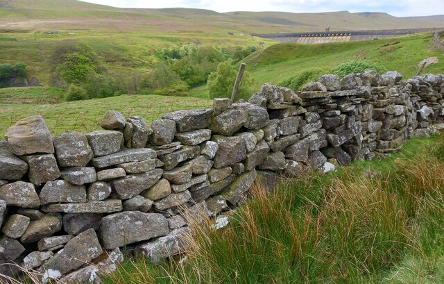
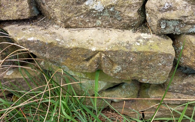
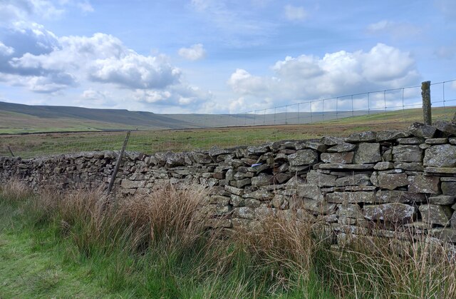
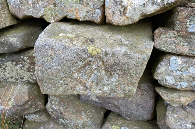
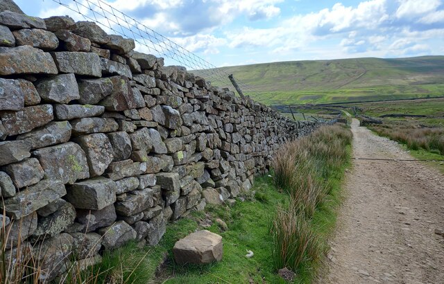
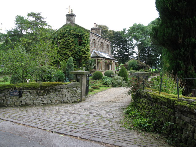
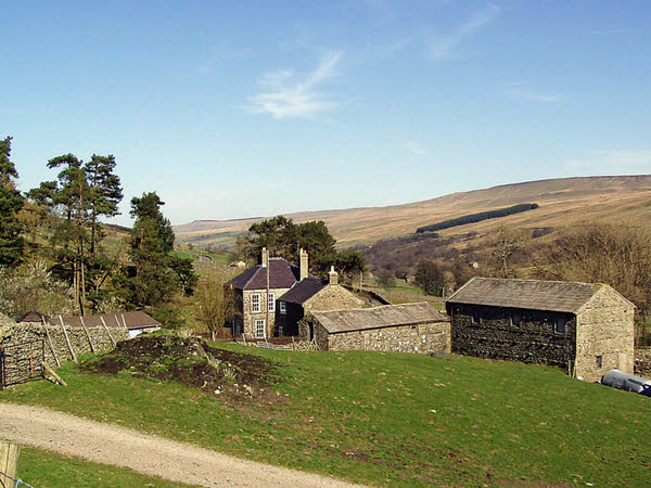
Covering an expansive area of rolling hills and lush green meadows, Angram Low Pasture is a haven for nature lovers and outdoor enthusiasts. The landscape is dotted with scattered trees, quaint farmhouses, and stone walls, adding to its rustic charm. The area is also home to a variety of wildlife, including rabbits, hares, and numerous bird species, making it a popular spot for birdwatching.
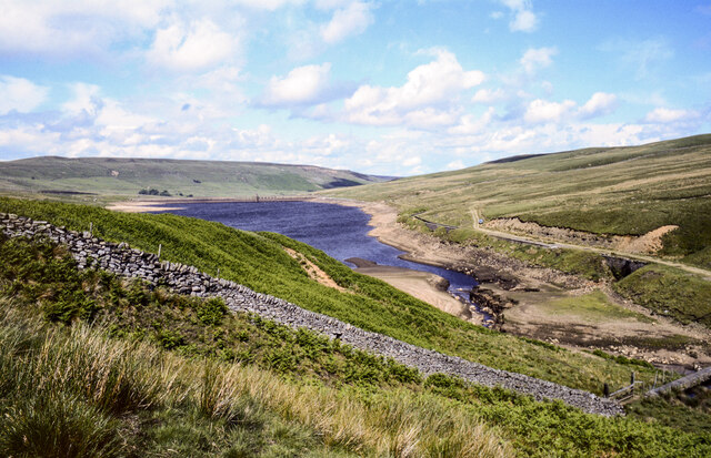
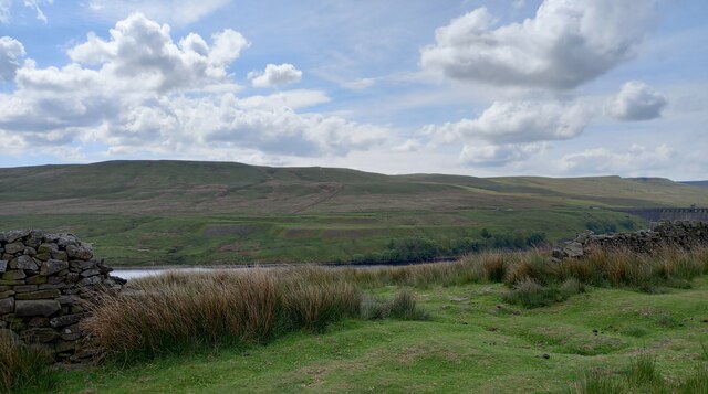
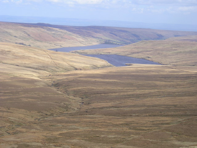
The meandering streams and small ponds found within Angram Low Pasture further enhance its natural beauty and provide a habitat for various aquatic creatures. Additionally, the area boasts breathtaking panoramic views, with the rolling hills extending as far as the eye can see.
Angram Low Pasture offers numerous walking trails and hiking routes, allowing visitors to explore the area's natural wonders at their own pace. These paths take visitors through fields of vibrant wildflowers during the spring and summer months, creating a vibrant tapestry of colors.
The tranquility and untouched beauty of Angram Low Pasture make it an ideal destination for those seeking a peaceful escape from the bustling city life. Whether it's a leisurely stroll, a picnic with loved ones, or simply immersing oneself in the wonders of nature, this hidden gem in Yorkshire promises an unforgettable experience for all who visit.
If you have any feedback on the listing, please let us know in the comments section below.
Angram Low Pasture Images
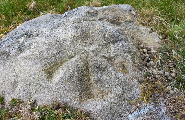
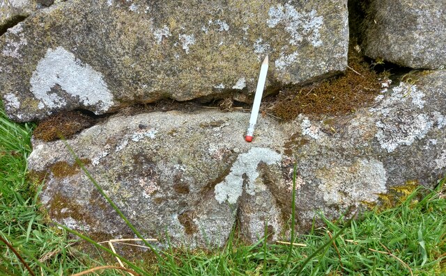
Images are sourced within 2km of 54.181327/-1.9514868 or Grid Reference SE0376. Thanks to Geograph Open Source API. All images are credited.
Angram Low Pasture is located at Grid Ref: SE0376 (Lat: 54.181327, Lng: -1.9514868)
Division: West Riding
Administrative County: North Yorkshire
District: Harrogate
Police Authority: North Yorkshire
What 3 Words
///snows.fulfilled.jogged. Near Grassington, North Yorkshire
Nearby Locations
Related Wikis
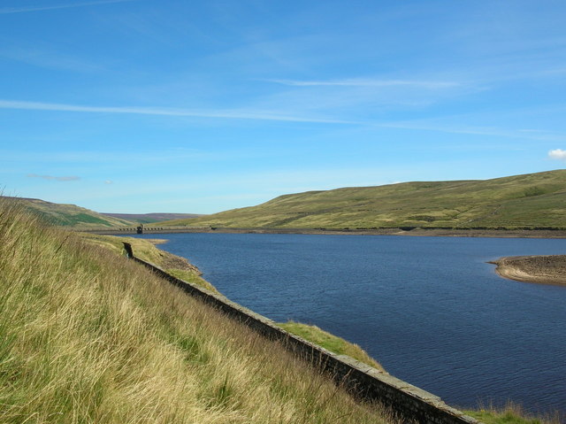
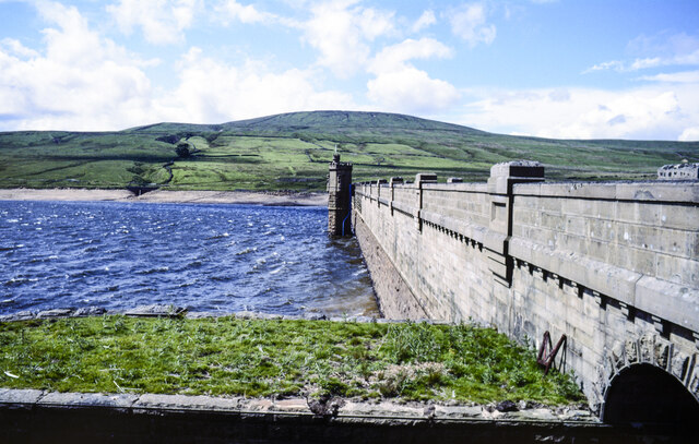
Angram Reservoir
Angram Reservoir is the first of three reservoirs on the River Nidd in Upper Nidderdale, North Yorkshire, England, the others being Scar House Reservoir...
Nidd Valley Light Railway
Nidd Valley Light Railway was a light railway in upper Nidderdale in the West Riding of Yorkshire, England. It was owned by Bradford Corporation Waterworks...

Little Whernside
Little Whernside is a hill in the Yorkshire Dales, North Yorkshire, England, 2.82 miles (4.54 km) north east of Great Whernside. It is on the boundary...

Nidd Aqueduct
The Nidd Aqueduct is an aqueduct or man-made watercourse in North Yorkshire, England. It feeds water from Angram and Scar House reservoirs in upper Nidderdale...

Scar House Reservoir
Scar House Reservoir is the second of the three reservoirs in Upper Nidderdale, North Yorkshire, England, the others are Angram Reservoir and Gouthwaite...
Stonebeck Up
Stonebeck Up is a civil parish in Harrogate district, North Yorkshire, England. The only village in the parish is Middlesmoor. The population of the...
Woodale
Woodale is a hamlet in Coverdale in the Yorkshire Dales in England. It lies in the civil parish of Carlton Highdale in the Richmondshire district of North...

Carlton Highdale
Carlton Highdale is a civil parish in Coverdale, North Yorkshire, England. According to the 2001 census it had a population of 95. The parish covers the...
Have you been to Angram Low Pasture?
Leave your review of Angram Low Pasture below (or comments, questions and feedback).