West House Pasture
Downs, Moorland in Yorkshire Harrogate
England
West House Pasture
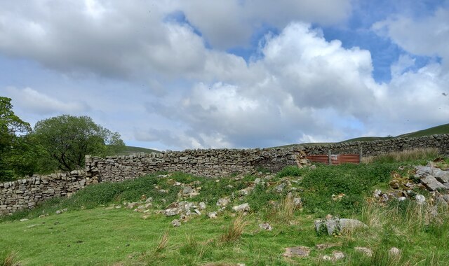
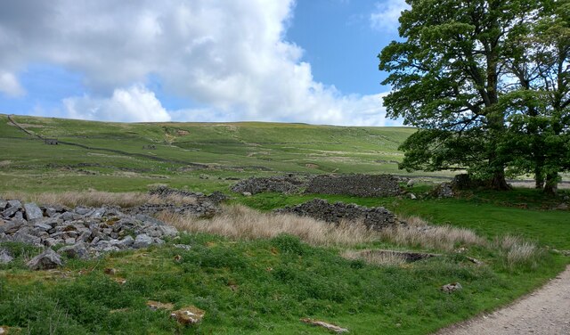
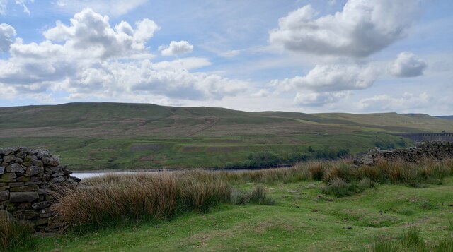
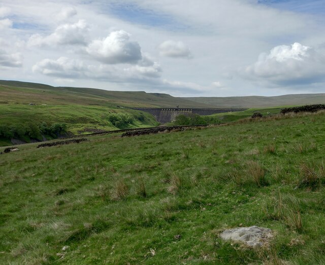
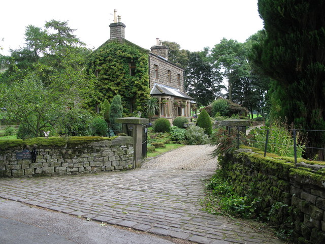
West House Pasture is a picturesque expanse of land located in the county of Yorkshire, England. Nestled amidst the breathtaking scenery of the Yorkshire Downs and Moorland, this area showcases the natural beauty of the region. Covering an extensive area, West House Pasture is a haven for outdoor enthusiasts and nature lovers alike.
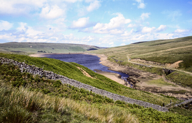
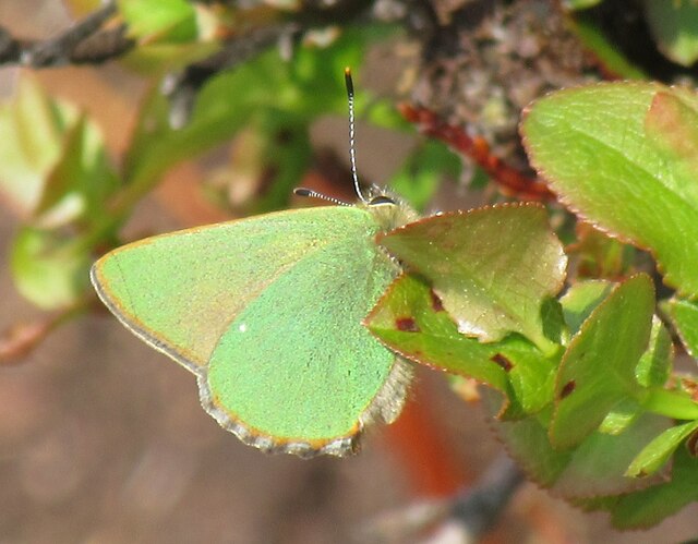
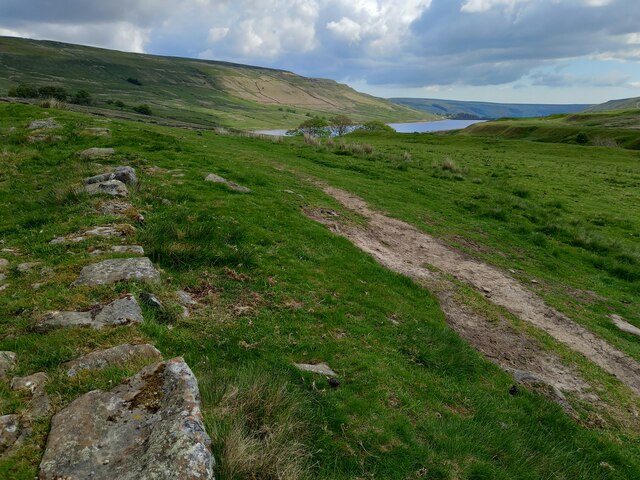
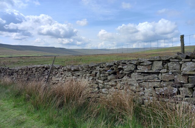
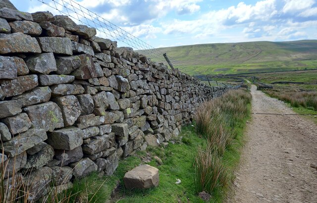
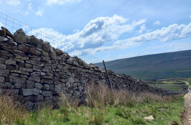
The landscape of West House Pasture is characterized by rolling hills, expansive meadows, and vibrant wildflowers. Visitors can enjoy panoramic views of the surrounding countryside, with its patchwork fields and meandering streams. The area is also home to a diverse range of wildlife, including various bird species, mammals, and insects.
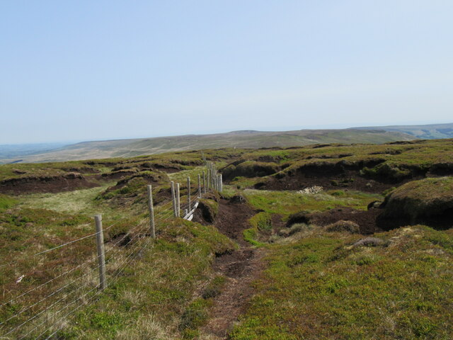
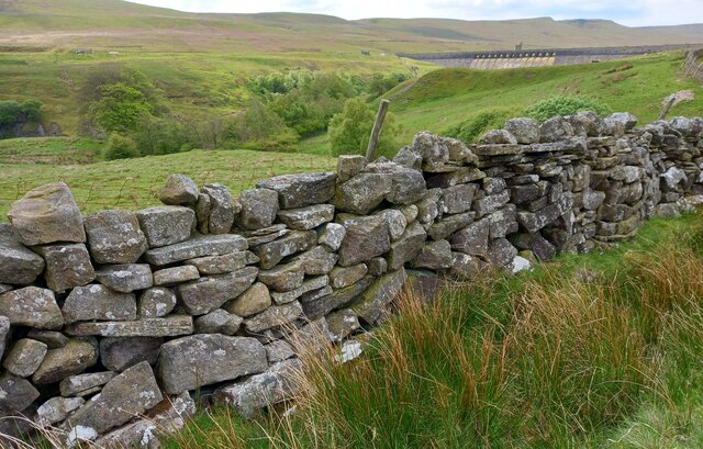
Walking and hiking trails crisscross the pasture, offering visitors the opportunity to explore the area at their own pace. These trails lead visitors through ancient woodlands, across babbling brooks, and up to elevated viewpoints, providing sweeping vistas of the surrounding moorland.
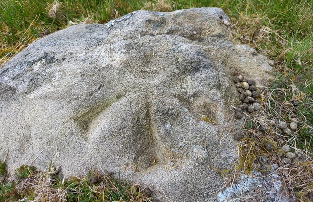
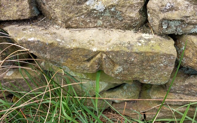
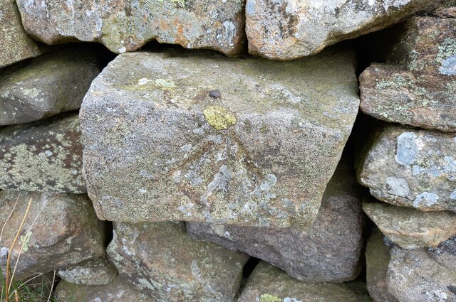
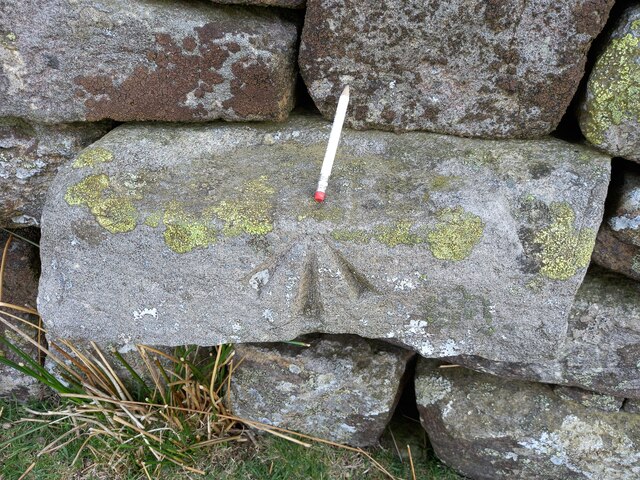
In addition to its natural beauty, West House Pasture is also steeped in history. The area is dotted with remnants of its past, including ancient burial mounds and stone circles. These historic landmarks offer a glimpse into the region's rich heritage and add a sense of intrigue to the landscape.
Overall, West House Pasture in Yorkshire is a captivating destination that showcases the beauty of the Yorkshire Downs and Moorland. Its combination of stunning landscapes, diverse wildlife, and historical landmarks make it a must-visit for those seeking a true taste of the Yorkshire countryside.
If you have any feedback on the listing, please let us know in the comments section below.
West House Pasture Images
Images are sourced within 2km of 54.183166/-1.9447274 or Grid Reference SE0376. Thanks to Geograph Open Source API. All images are credited.
West House Pasture is located at Grid Ref: SE0376 (Lat: 54.183166, Lng: -1.9447274)
Division: West Riding
Administrative County: North Yorkshire
District: Harrogate
Police Authority: North Yorkshire
What 3 Words
///checked.estimated.washable. Near Grassington, North Yorkshire
Nearby Locations
Related Wikis
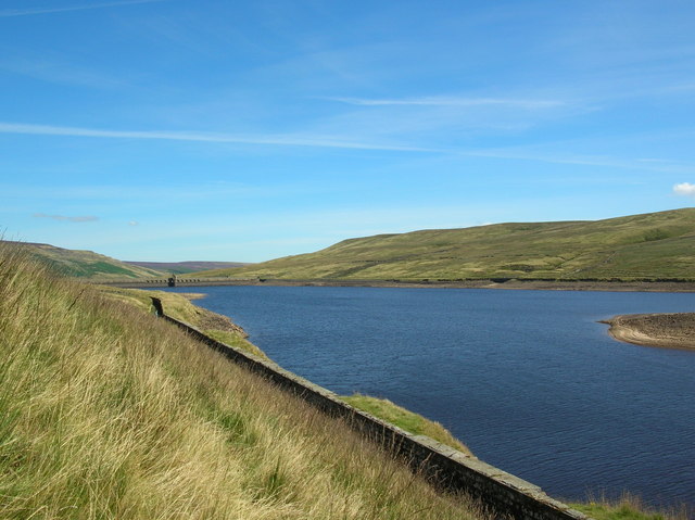
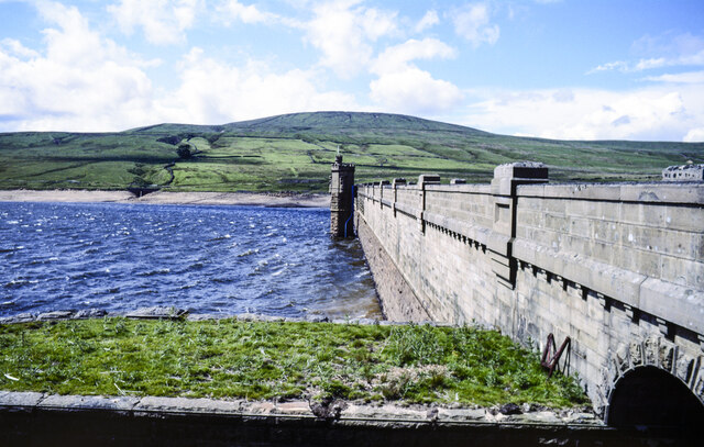
Angram Reservoir
Angram Reservoir is the first of three reservoirs on the River Nidd in Upper Nidderdale, North Yorkshire, England, the others being Scar House Reservoir...
Nidd Valley Light Railway
Nidd Valley Light Railway was a light railway in upper Nidderdale in the West Riding of Yorkshire, England. It was owned by Bradford Corporation Waterworks...

Little Whernside
Little Whernside is a hill in the Yorkshire Dales, North Yorkshire, England, 2.82 miles (4.54 km) north east of Great Whernside. It is on the boundary...

Scar House Reservoir
Scar House Reservoir is the second of the three reservoirs in Upper Nidderdale, North Yorkshire, England, the others are Angram Reservoir and Gouthwaite...
Nearby Amenities
Located within 500m of 54.183166,-1.9447274Have you been to West House Pasture?
Leave your review of West House Pasture below (or comments, questions and feedback).